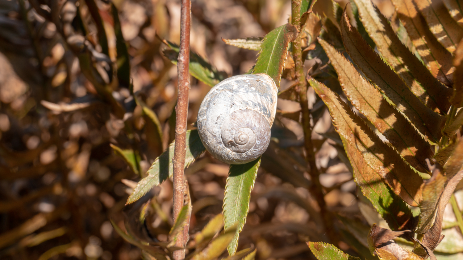
San Bruno Mountain’s sunny ridgelines and steep-sided canyons brim with grasslands, coastal scrub, oak woodlands, chaparral, rare plants, and endangered butterflies. Sandwiched between the Pacific Ocean and the San Francisco Bay nine miles south of downtown San Francisco, this hike is filled with a wild variety of flora and fauna and bang-on San Francisco skyline and Bay views.

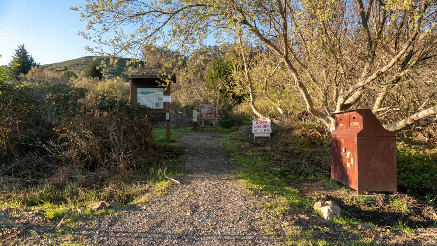
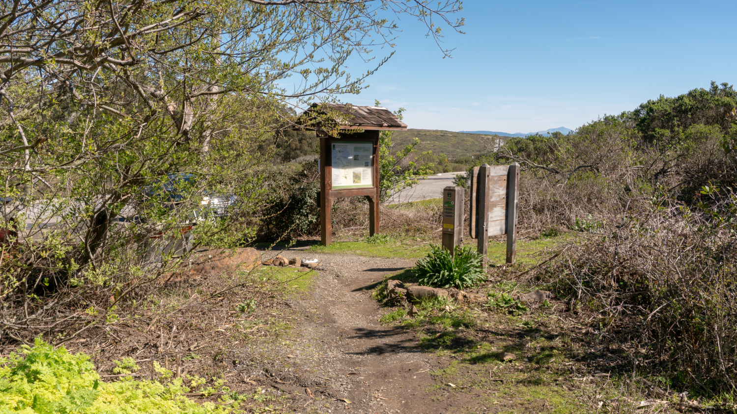
Begin your hike at the trailhead kiosk where a big brown signs gives you the lay of the land. Turn right on the narrow gravel path towards the Summit Loop Trail, passing by a lovely willow tree. The sounds of traffic combined with a view of Mount Diablo from the parking lot sum up the balance of this hike: city life, gorgeous views, and wildlands.

In the 1960s and 1970s, conservationists became alarmed at development plans for San Bruno Mountain. In 1965, one plan even proposed razing the mountain and using the dirt as landfill to expand the San Francisco International Airport. Around this time, David Schooley, Bette Higgins, and Mimi Whitney created The Committee to Save San Bruno Mountain, which turned into San Bruno Mountain Watch, a non-profit organization that hosts hikes on the mountain, mobilizes volunteers to plant host flowers for endangered butterflies, and advocates for the protection of San Bruno Mountain.

By 1980, San Mateo County and the State of California acquired parcels of San Bruno Mountain, and the two agreed that San Mateo County would manage the new San Bruno Mountain State and County Park. You could say the mountain is a patchwork of alliances. The summit is 21.4 acres of private land and easements allow utility companies to service power lines, gas lines, water lines, and a cable television facility within park boundaries. In the early 1980’s, a partnership among developers, government officials, and conservationists led to the creation of the Habitat Conservation Plan, a compromise that allows developers to build on sensitive habitats on the mountain in exchange for providing land elsewhere to recreate the destroyed habitats for endangered wildflowers and wildlife. The HCP is a groundbreaking agreement among competing interests, and at the same time, conservationists express skepticism about its success and true ability to reproduce sensitive habitats.

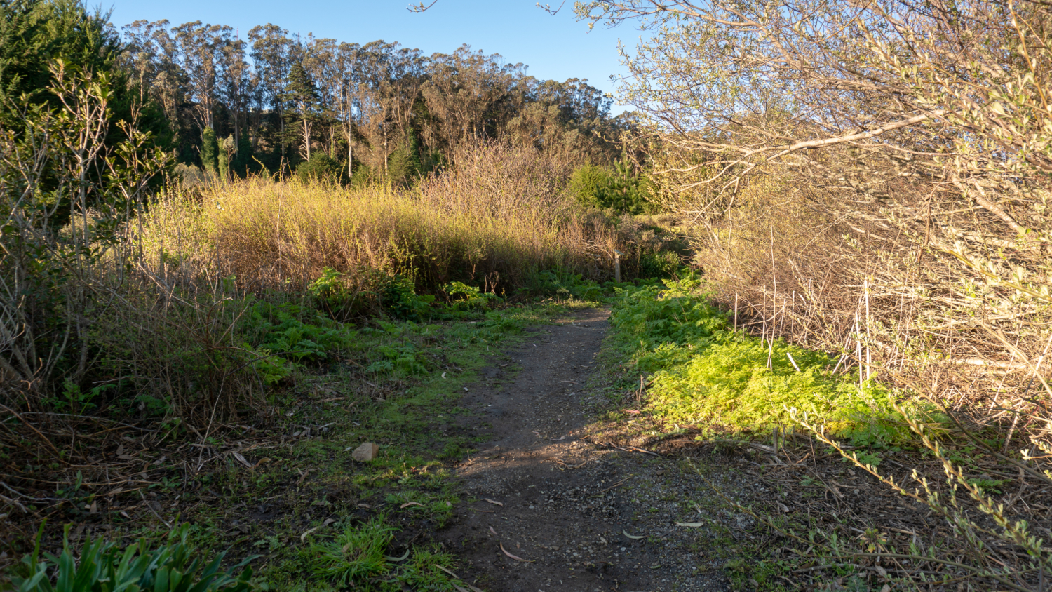
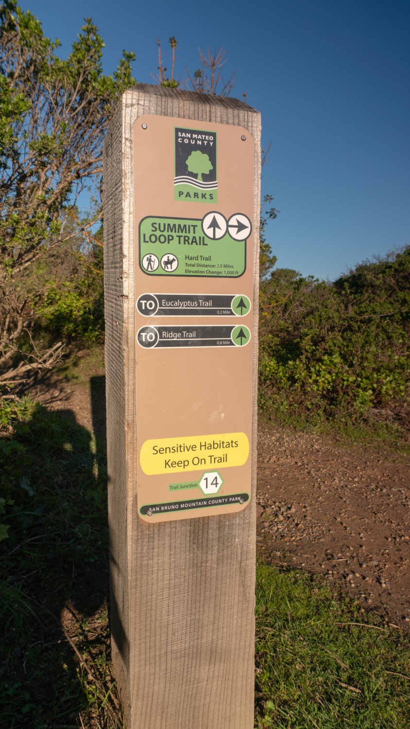
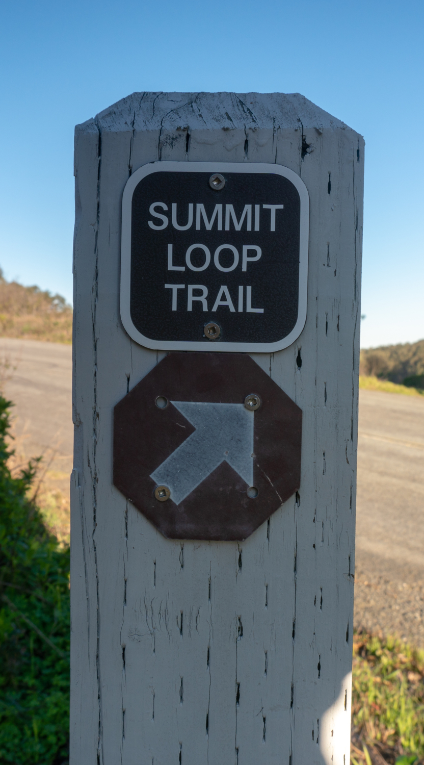
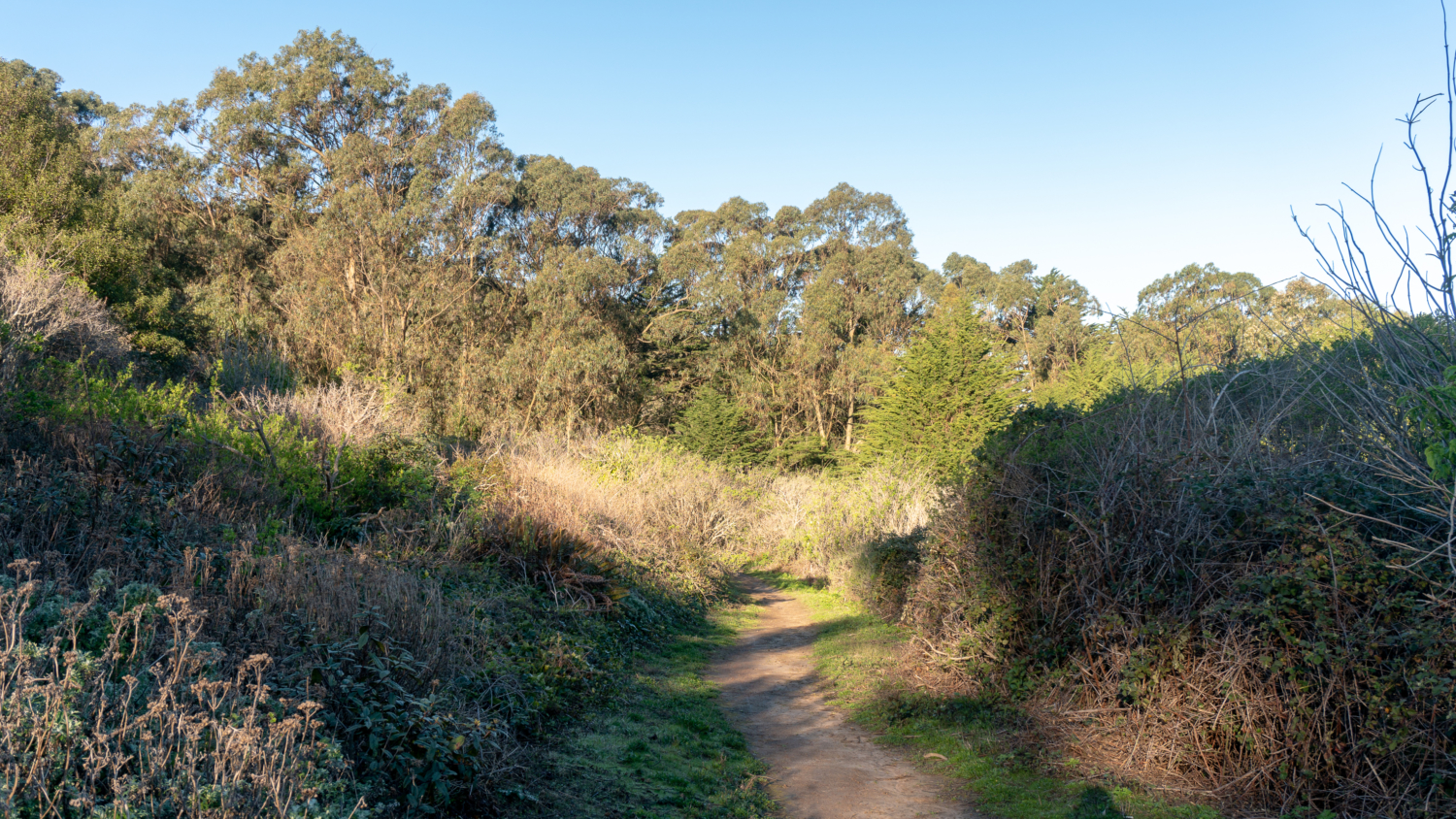
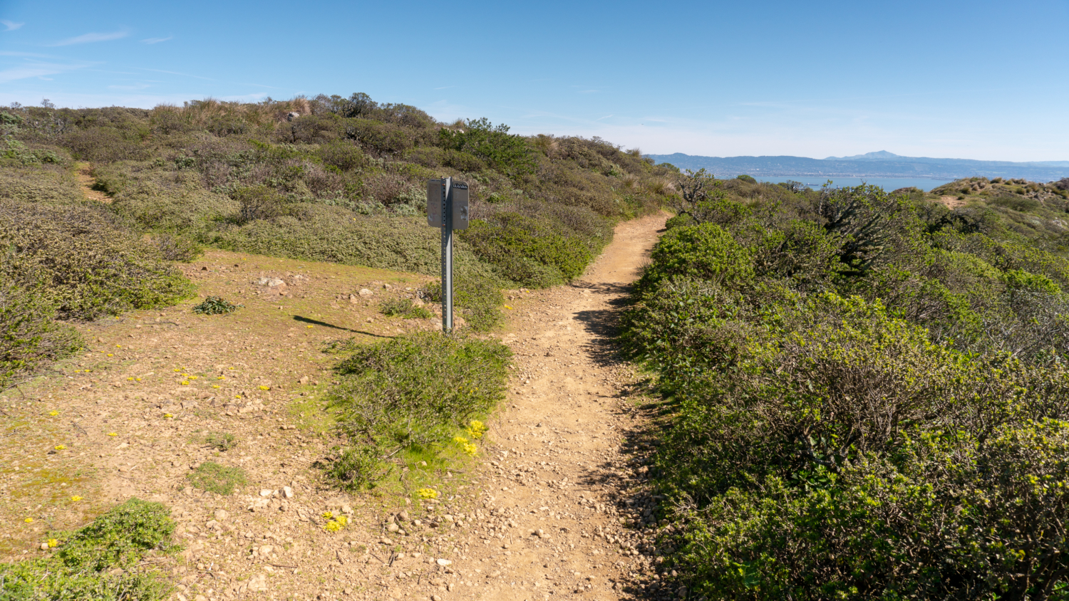
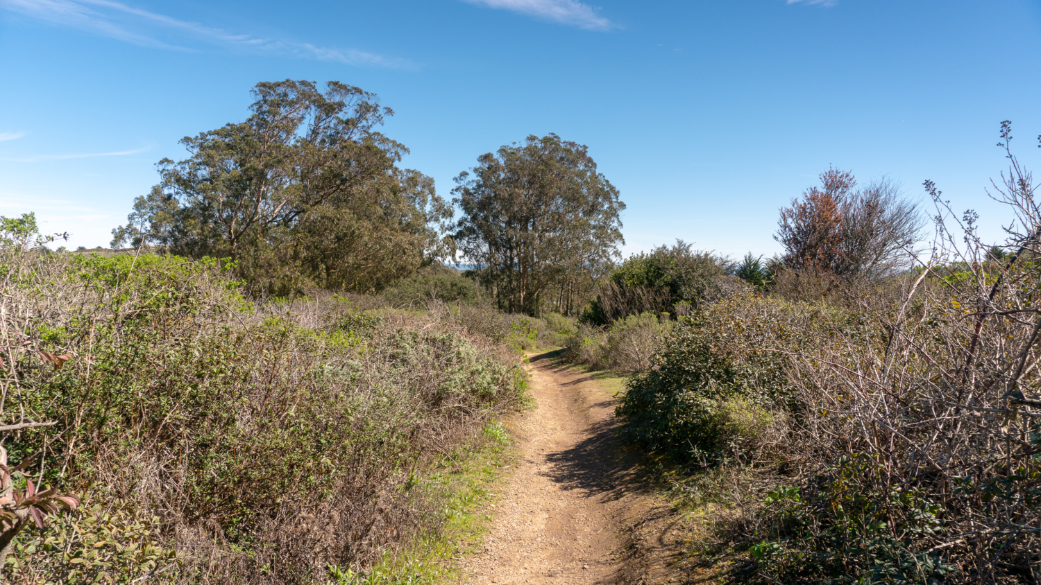
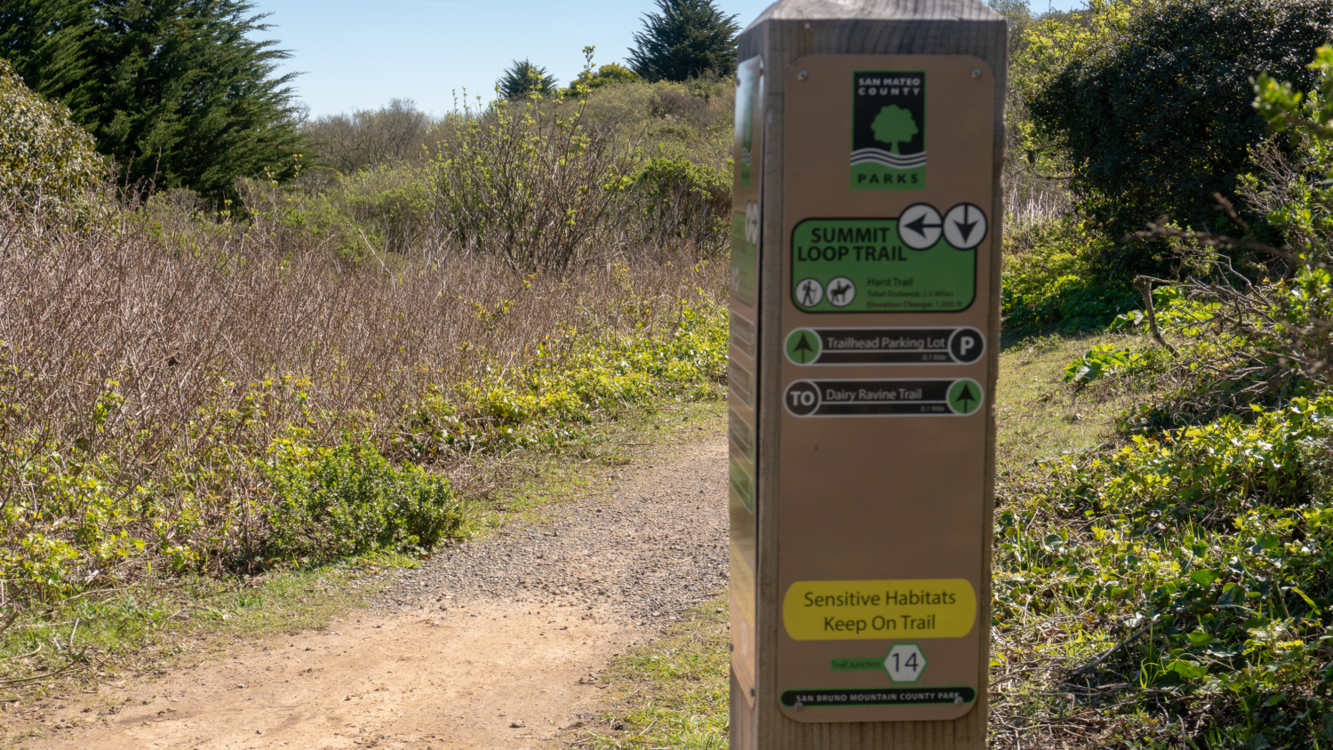
Hiking towards the Summit Loop Trail, pass through a hillside brimming with yellow Bermuda buttercups in spring. Non-native periwinkle, blackberry, and white ramping-fumitory spread out beside the trail. In a short 0.1 miles, reach the starting point of the Summit Loop Trail. Here you can take a left to do the loop clockwise or right to do it counterclockwise. The right hand direction is a gentler, less-steep approach to the summit, and saves the knockout views for the descent. Let’s do it!

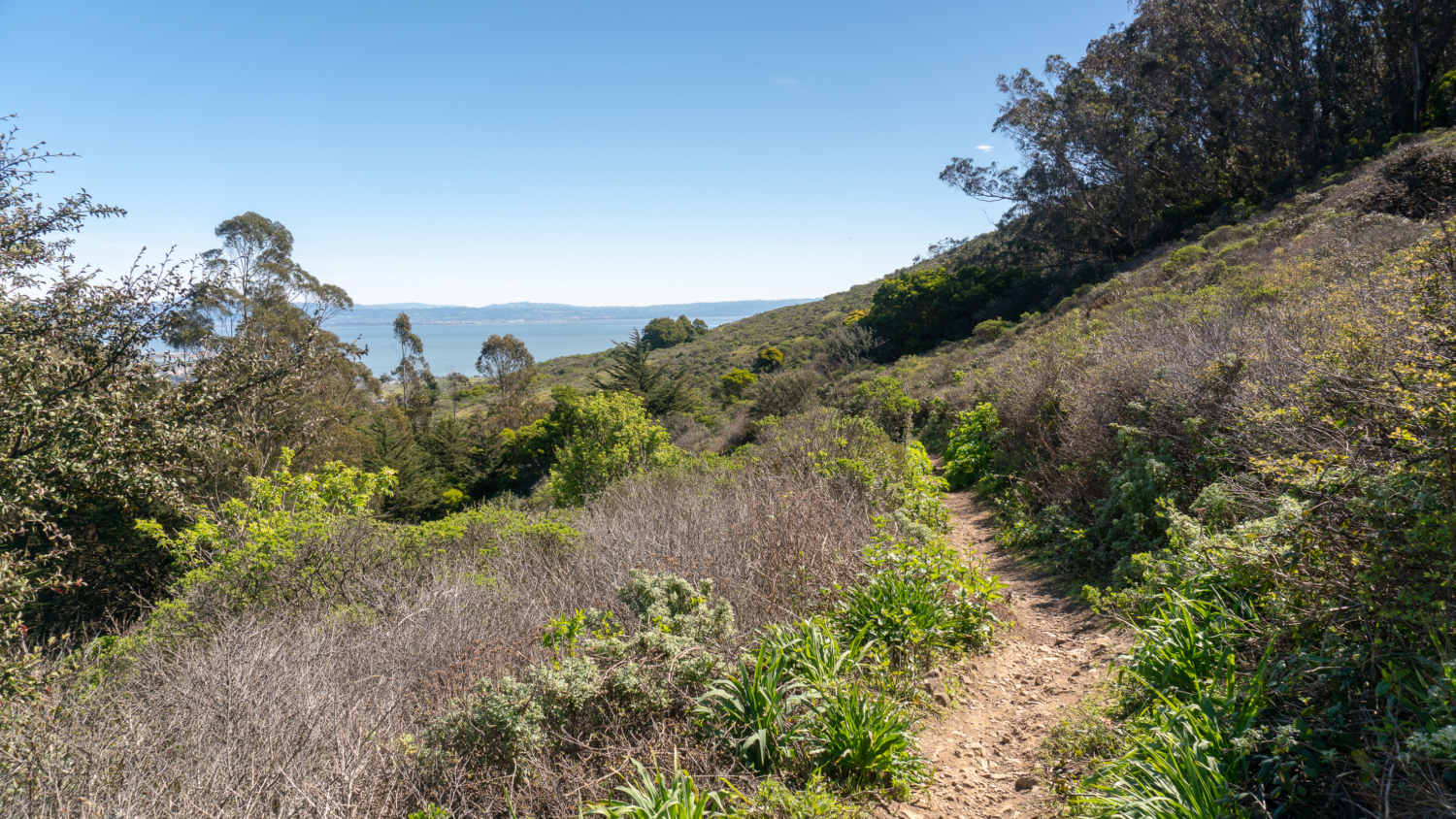
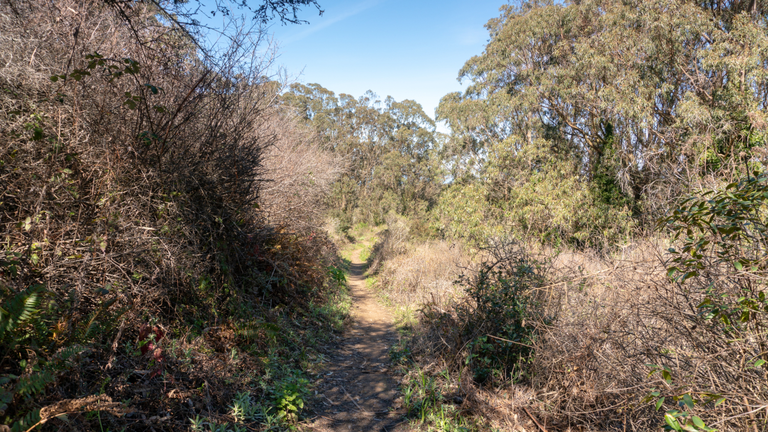
Turning right, cross Radio Road onto a dirt trail sprinkled osoberry and elderberry. A brief shady section of eucalyptus and cypress runs parallel to Colma Creek. Sword fern spills out of the hillside along with slender red petals of Chasmanthe. After a brief descent, veer southwest beside April Brook, switchbacking away from Guadalupe Canyon Parkway traffic (Huzzah!). Thick, brushy scrub, buttercups, milkmaids, and the occasional buckeye spring up beside the trail as you climb.


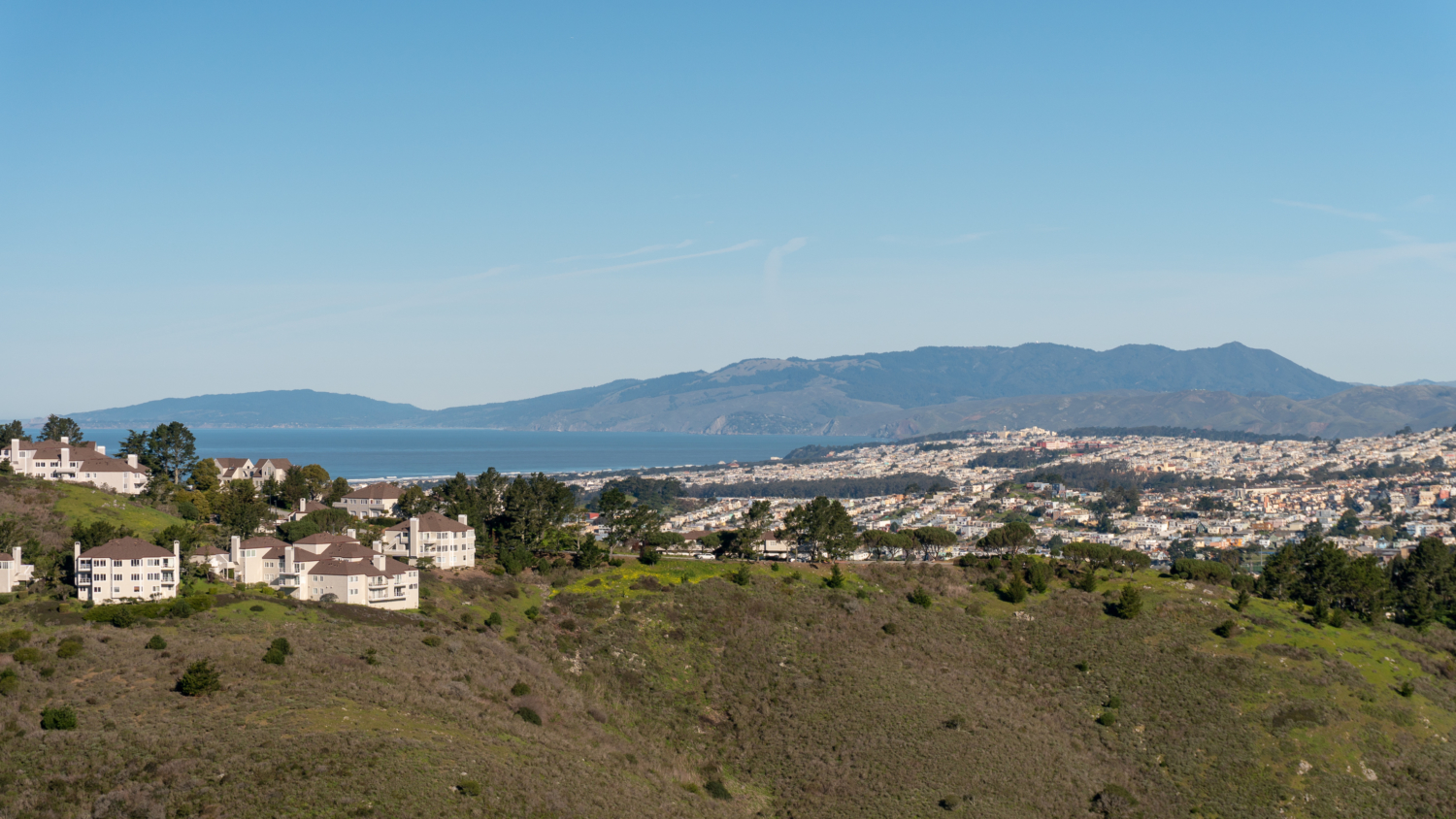
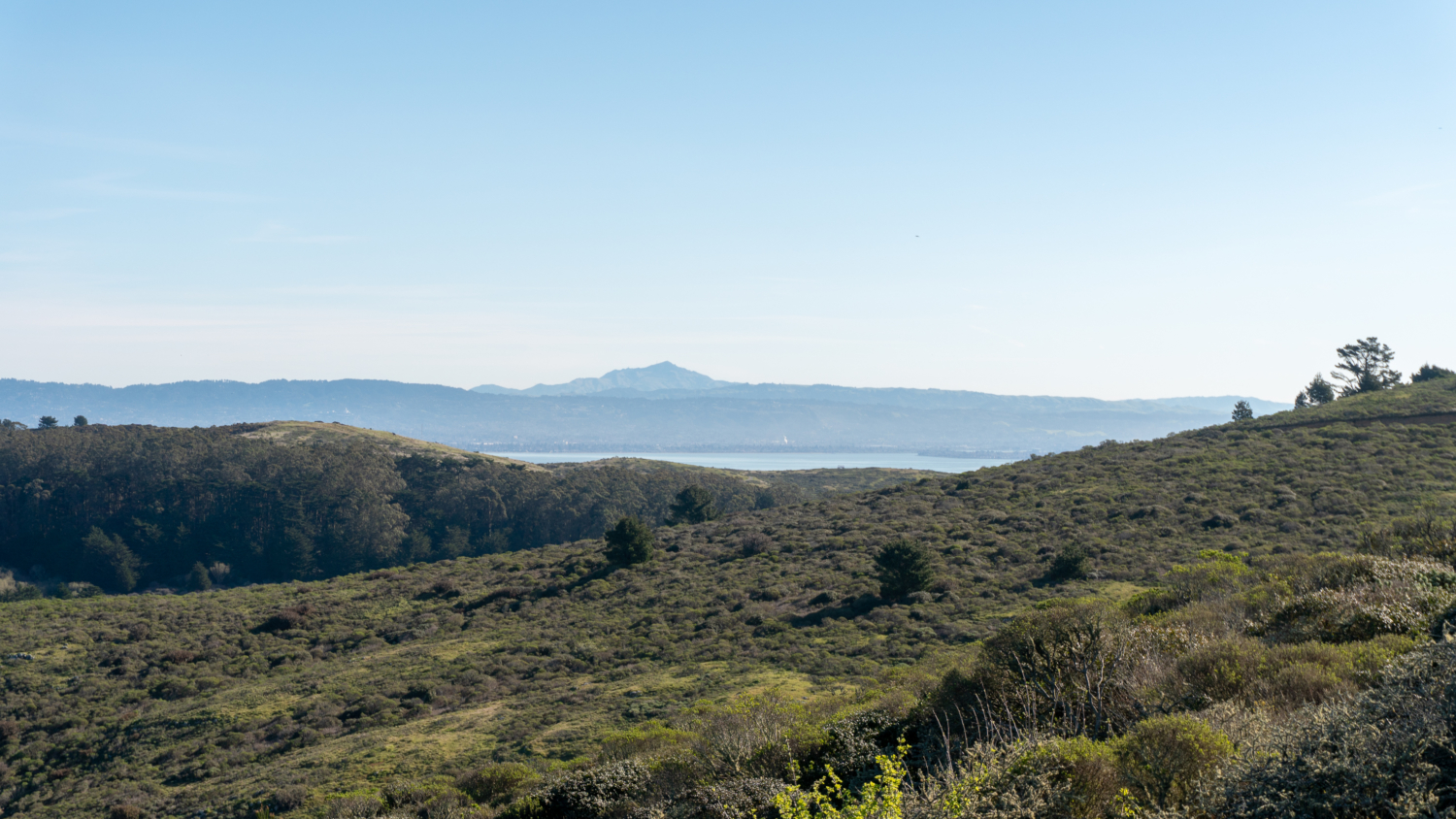
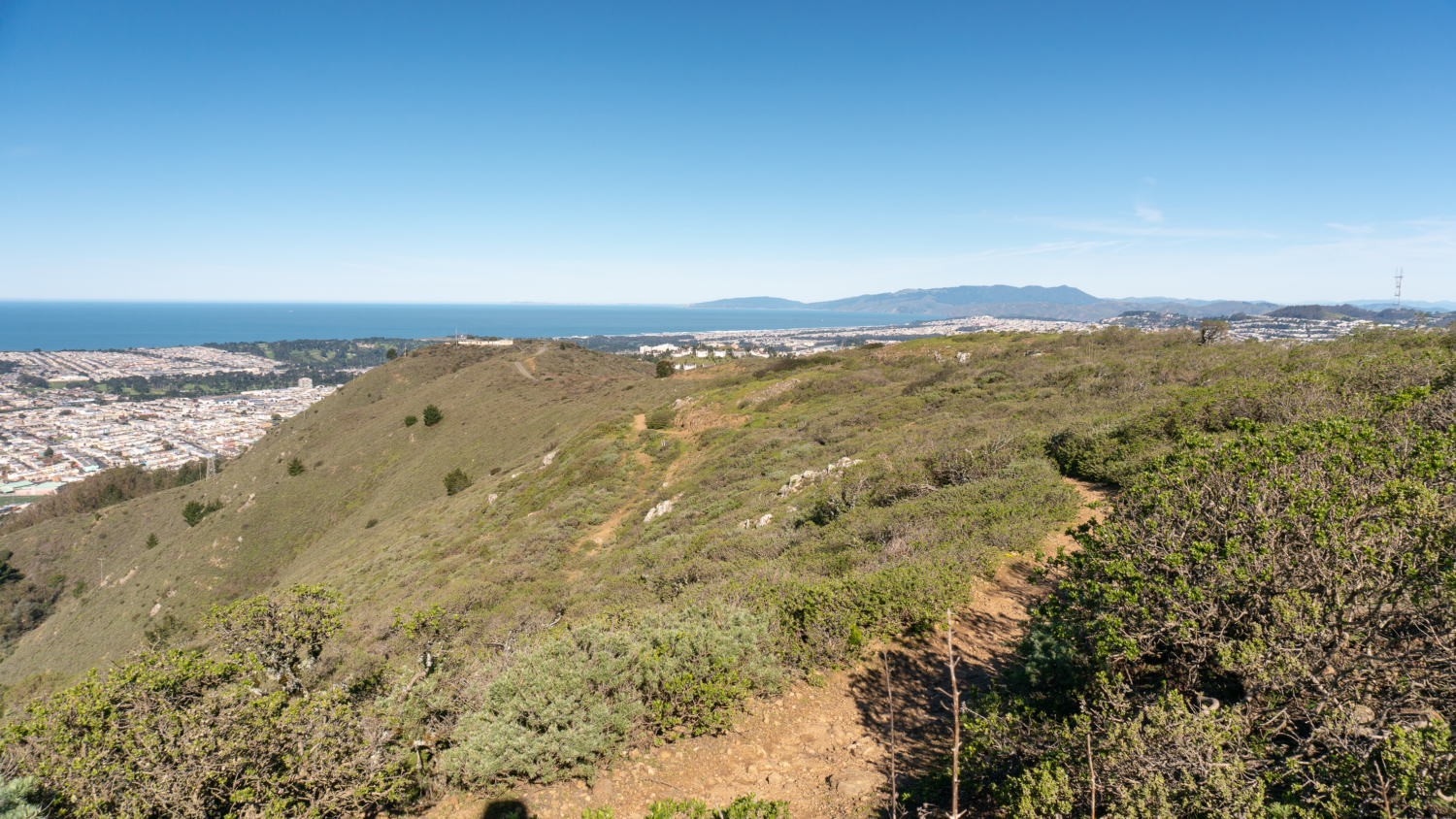
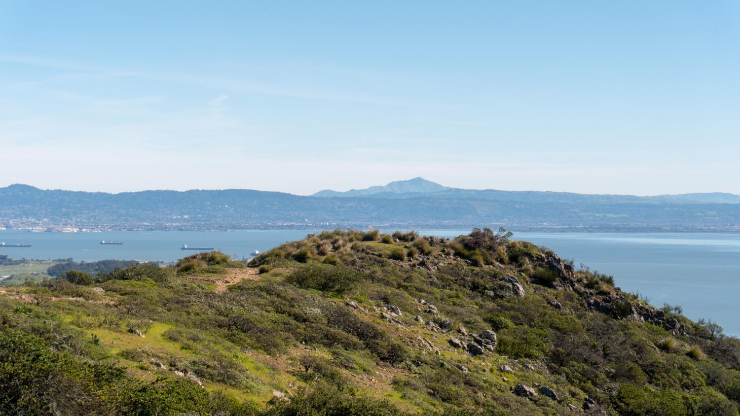
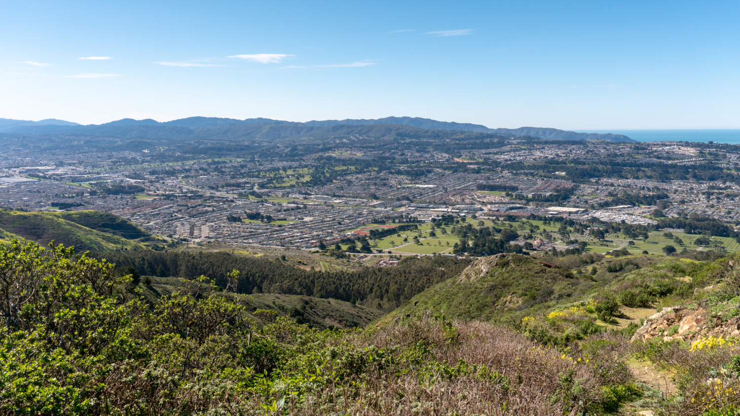
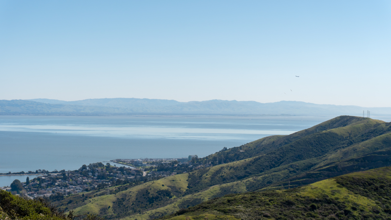
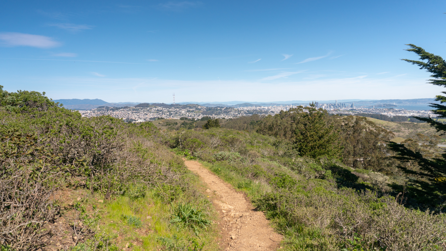
Reach an unmarked viewpoint of Mount Tamalpais and the Pacific Ocean at 1.2 miles. Behind you are Sutro Tower and Twin Peaks. The East Bay peaks are just beginning to peek out on the horizon. The trail becomes slightly rubbly here, very bright, exposed, and more arid, with rocky outcroppings. You can see the communication towers on the summit and the Bay Bridge as you climb higher. After crossing an access road, the Santa Cruz Mountains appear to the southwest, along with lupine and poppies.

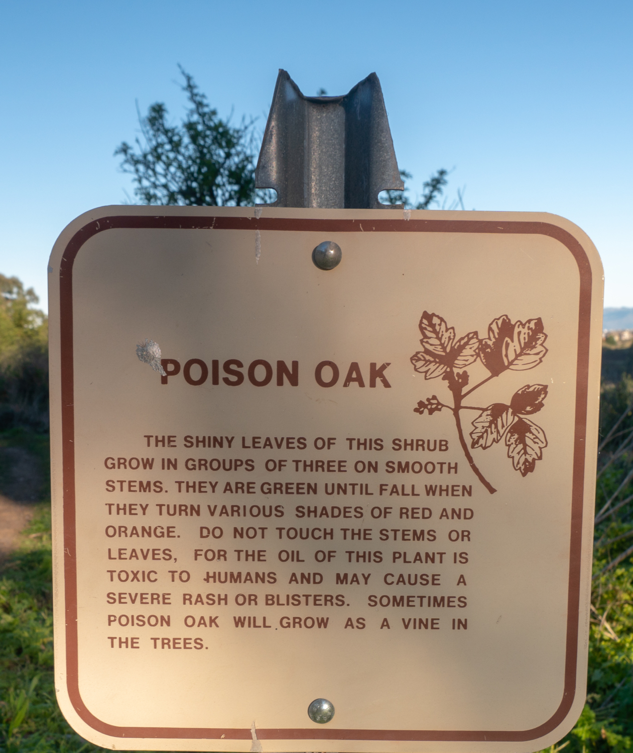
San Bruno Mountain is home to three endangered butterflies: the Mission Blue Butterfly, San Bruno Elfin Butterfly, and Callippe Silverspot Butterfly. They are endemic to California and host plant specific, meaning they use only one plant species—or a few closely related species—to lay their eggs and feed on as caterpillars. The Mission Blue Butterfly can use three different species of lupine while the San Bruno Elfin Butterfly and Callippe Silverspot Butterfly rely on the California Golden Violet and Pacific Stonecrop, respectively. Other butterflies are able to use many different plants as host plants, and so are able to move more easily from place to place. It is this narrow range of plants on San Bruno Mountain that makes protecting the butterflies and their host plants so important. The loss of a host plant can mean the loss of a butterfly species.

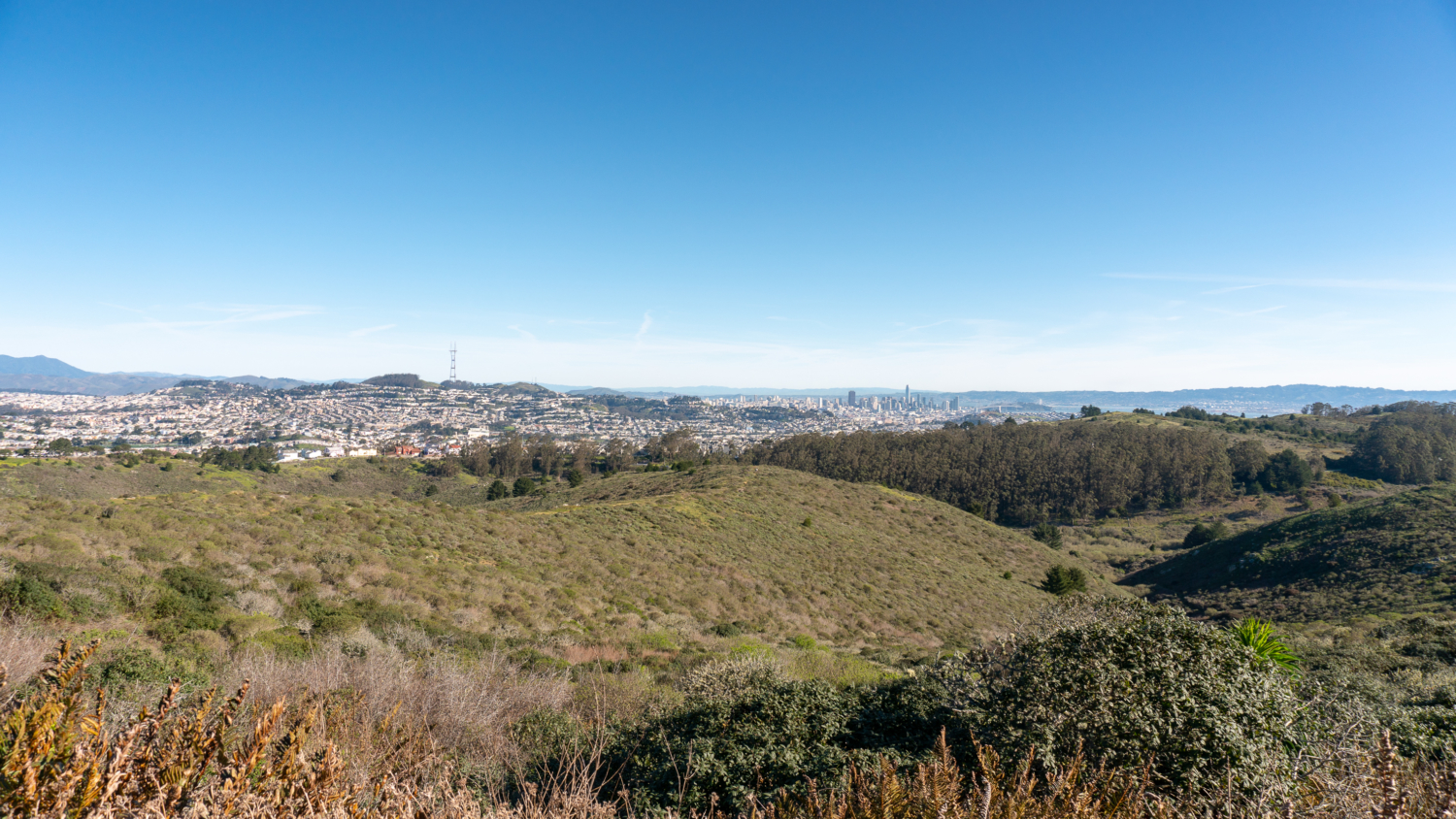
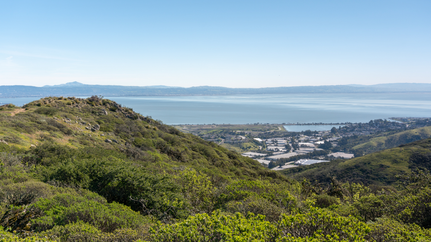
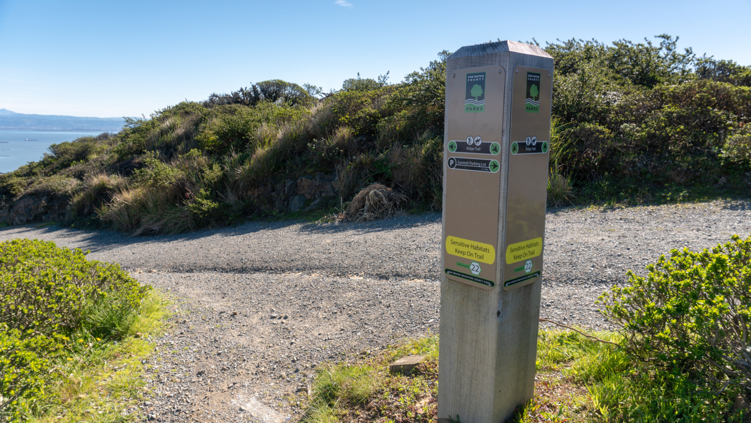
At the 2.4-mile mark, cross Radio Road to stay on the Summit Loop Trail towards the Ridge Trail. Radio Road on your right continues to the summit, where you might see cars and service vehicles heading. The wide-angle views of the San Francisco Bay, San Francisco, Bay Bridge, and East Bay, and rolling northeastern slopes of San Bruno Mountain, are pure eye-candy as you descend a gentle 50 feet. After 0.1 miles, turn right onto the Ridge Trail, heading towards the summit parking lot. The Ridge Trail parallels Radio Road along the mountain’s slope to views west of Mount Diablo, the Diablo Range, and San Francisco Bay.


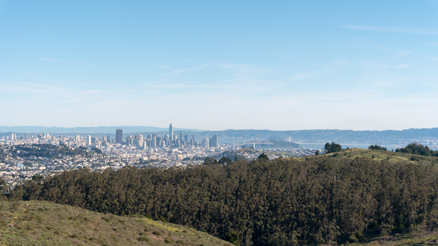
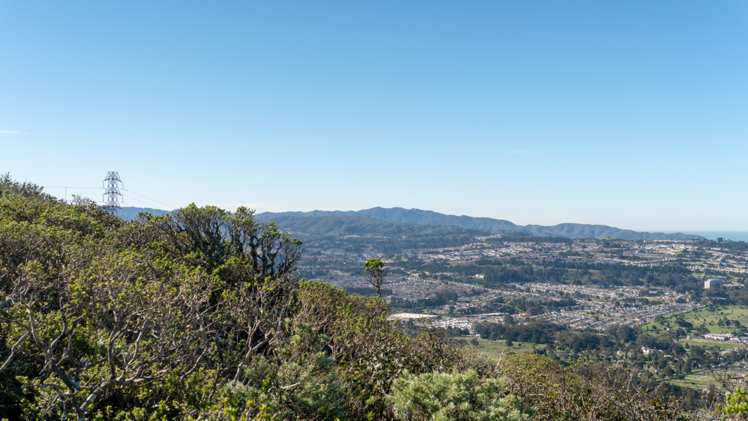
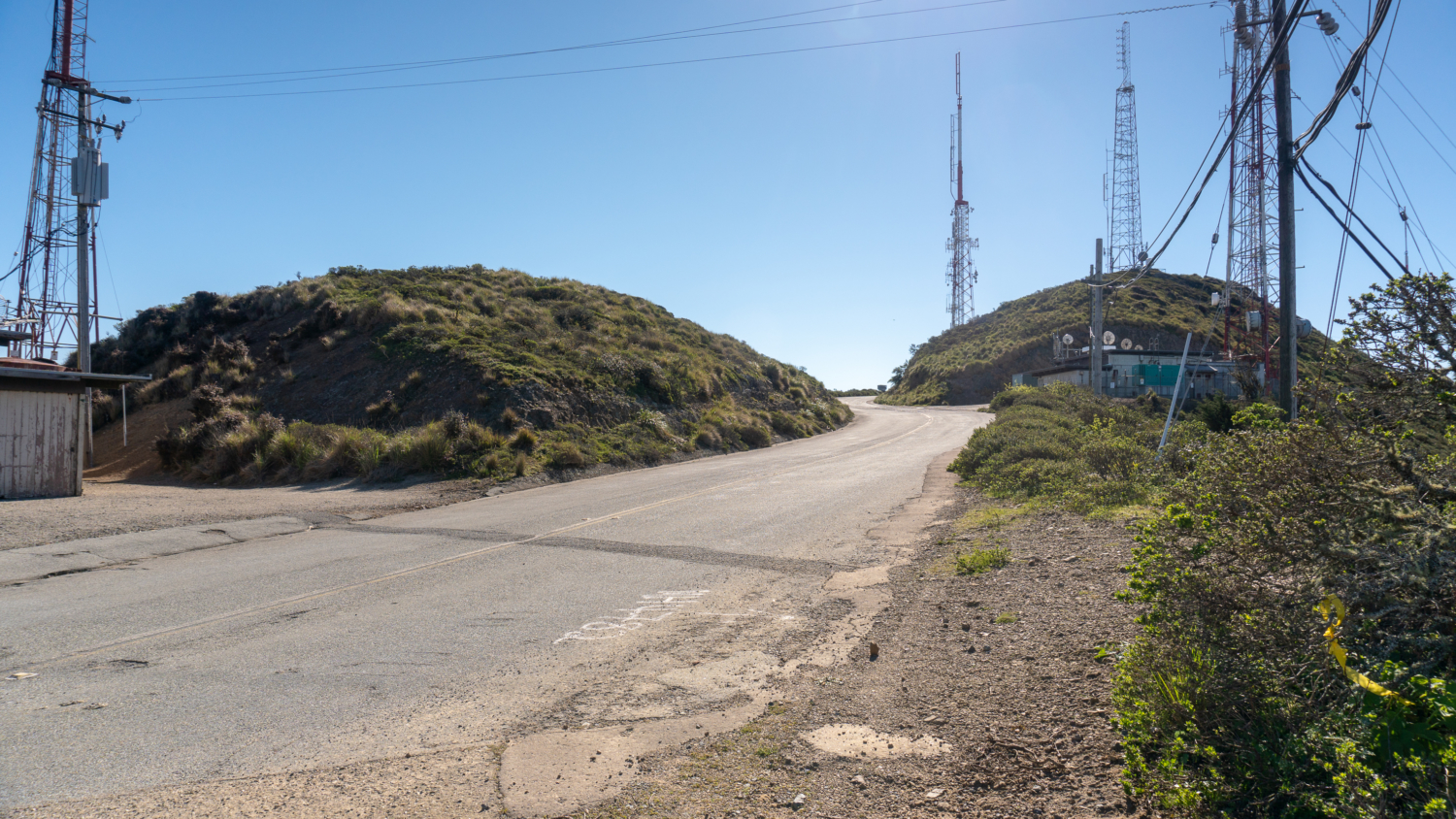
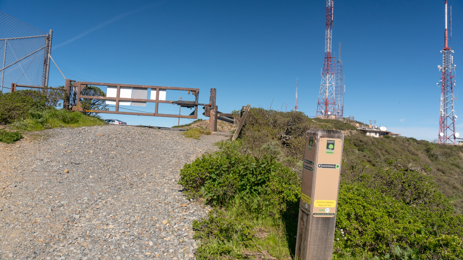
Ascending a gravel road, reach the summit parking lot at the 3.0-mile mark and 1,314 feet elevation. The southwest view faces Daly City, Colma, the Pacific Ocean, and the northern Santa Cruz Mountains. Across the parking lot to the northeast are San Francisco, the Bay Bridge, Oakland, Mount Diablo, and the San Francisco Bay. Some folks just come up here, park their car, and enjoy the view. As you descend, watch for planes taking off from San Francisco International Airport to the southeast (you probably already saw a few overhead during your hike) and the Santa Cruz Mountains extending southeast down the peninsula. It’s kind of cool that you can see the northern ends of two mountain ranges on this hike—the Santa Cruz Mountain Range and the Diablo Range. Along the summit ridge you may see footsteps of spring, lupine, and Bermuda buttercup in springtime.


Retrace your steps back the Summit Loop Trail at the 3.5 mile-mark. Turn right to continue the loop towards the trailhead parking lot. San Francisco Bay views linger on the descent among small patches of ceoanthus and poppies. After winding through ivy-covered eucalyptus, turn right to rejoin the spur trail towards the trailhead parking lot. Bermuda cups unfurl their petals towards the sun, and you may even see a California Tortoiseshell butterfly reveling in the warmth, among other creatures.


Notes:
- The park opens at 8:00 a.m. Closing times change seasonally and are posted.
- There is a $6 entrance fee, payable at the entrance kiosk. Cash and credit cards are accepted.
- Dogs and pets are not allowed.
- Bikes are allowed on the paved Radio Road to the summit.
- Yep, you can drive to the summit via Radio Road.
- View a trail map on San Mateo State and County Park’s website or pick one up at the trailhead kiosk.
- Restrooms and water fountains are available in the picnic area just beyond the park entrance.
- Sign up for a guided hike with San Bruno Mountain Watch at mountainwatch.org.
- An optional extension to this hike is to take the Ridge Trail southeast for 2.4 miles (one-way) from just below the summit.
Tags: california, san bruno mountain, san francisco, wildflowers