The Pyramid Trail is one of the newest hiking additions to the South Mountain Park and Preserve, located on the southwest side of South Mountain in the Phoenix neighborhood known as Ahwatukee. This route follows the ridgeline of the southern end of the park, gently easing you deeper into the Park and Preserve where you have the option to connect with other trails to extend your trip.
At the time of publication (early 2018), the parking for this trail is located at the end of Chandler Boulevard, which the city does have plans to extend in the future. That may affect future trailhead access, but for now, that’s where you’ll park your vehicle.
From the parking lot you will travel 0.4 mile to the actual trail head. This clear and wide path is located near the end of a quiet Phoenix neighborhood and it guides you toward the base of the mountain. Once at the trailhead you will continue straight on the path toward the mountain. This part of the trail is very flat and it kind of feels like you are walking on a dirt road towards the mountain.

Once you have reached 0.84 mile from the trail-head, buckle up because this trail is about to get intense! From this point you are heading for the top of the mountain and you will reach the peak when you’re at a mile and a half … so these next two-thirds of a mile are going to be a bit of work!

In this short span you’re hiking on varying lengths of switchbacks, which take you higher and higher along the mountain while hiding its actual summit from view. By the time you reach the 1.5 mile mark, you will turn around a curve and behold … you’re right on top of the ridgeline!
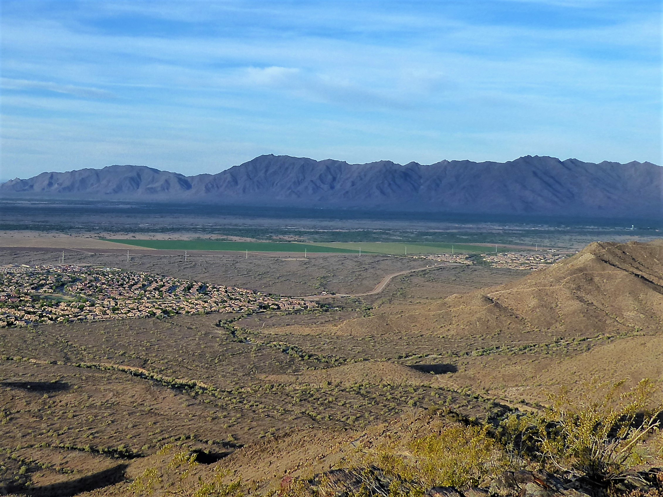
You now are able to relax and know that the hardest part of this hike is over! As you catch your breath you will be taking in the view of the Phoenix neighborhoods below, the fields of the Gila River Indian Reservation to the south, the Estrella Mountain Range to your west and the rolling mountain tops of South Mountain to the north and east.

View from top showing the Estrella Mountain and surrounding neighborhoods

View from top of the rolling tops of South Mountain
As you keep hiking, the trail leads you over and down the ridgeline of the southern portion of South Mountain. This part of the trail is relaxing as you flow along with the movement of the mountain, watching and listening to the birds sing as they land on the plant life nearby. It’s almost as if they are welcoming you onto their beloved home turf; the spot where they arrived so easily and effortlessly, while you had to take the hard way up.

The trail begins to flatten out and curve around the back of the ridgeline almost as if it’s a backstage hallway bringing you into the middle of the mountain range. There are portions lined with dark rock walls that create unique shapes against the skyline.


It’s also here in these rough rocks that you will be able to see cactus and other plants growing out of the cracks between. It’s an unbelievable sight to see life growing out of such an unexpected place.

Cactus growing out of the rocks
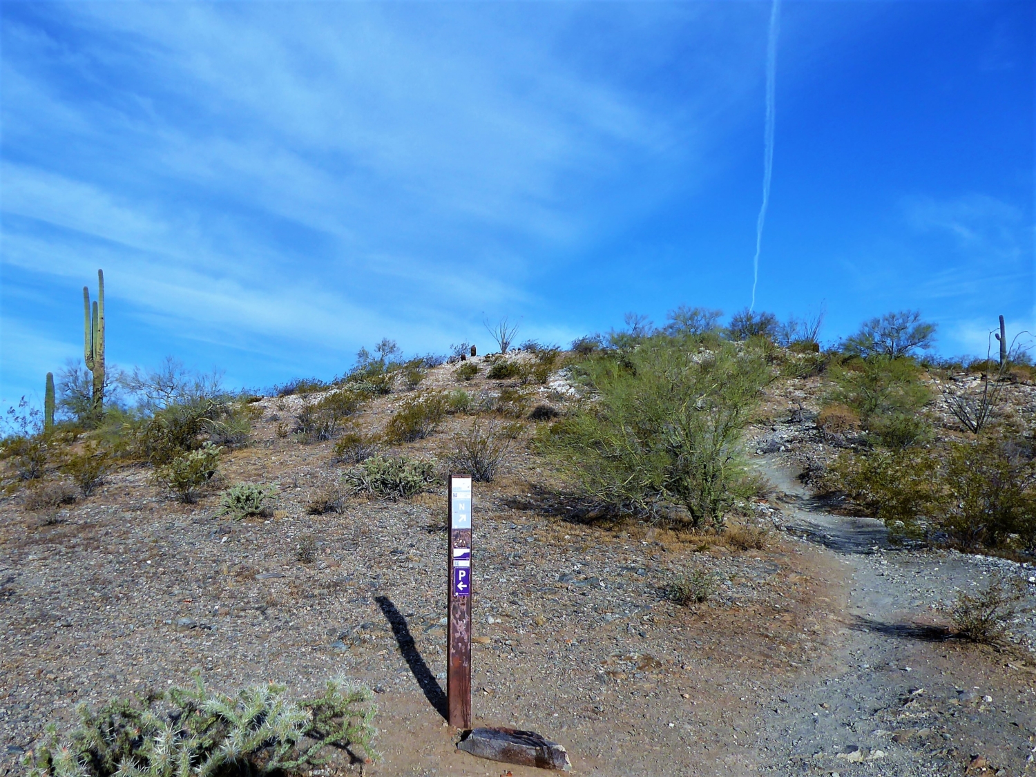
Pyramid Trail ends at 2.61 miles when you come across a marker that not only shows the junction with National Trail — a 15-mile trail that follows the entire length of South Mountain.

If you take the National Trail a short distance to the East (towards the antennas) there is a little lookout hut that offers you great views of downtown Phoenix and of the South Mountain Park. You will be able to see the hut from end of the Pyramid trail.
Note that the Pyramid Trail can get very busy and the parking lot might fill up quickly. There are additional parking spots available on Chandler Blvd for overflow parking. Due to the route’s popularity — and total lack of shade — I suggest hiking this early in the morning … and packing lots of sunscreen!
Tags: Arizona, AZ, hikes, Hiking, nature, outdoors, Phoenix, Pyramid, Pyramid Trail, South Mountain, South Mountain Preserve Park