This short, simple, and popular hike leads you through the forest surrounding the South Fork of the West Fork Gallatin River to a 35-foot cataract. The wide, well-traveled trail is easy enough for just about everyone, pets included, and the payoff is considerably greater than the effort required. If you only have the time for one hike in Big Sky, this is the one to take.

Also, because this route is located close to Big Sky in a relatively busy area, your chances of experiencing the usual Montana trail hazards – wildlife, thunderstorms, and hunters – are mitigated somewhat. While there’s always a chance a bear may come blundering through, the usual traffic on this trail will give them ample warning and sufficient apprehension about coming too close to humans. Thunderstorms are probably the most likely hazard, but since there’s so little exposure on the route, and because you’re so close to the trailhead, chances are you’ll only end up getting wet.

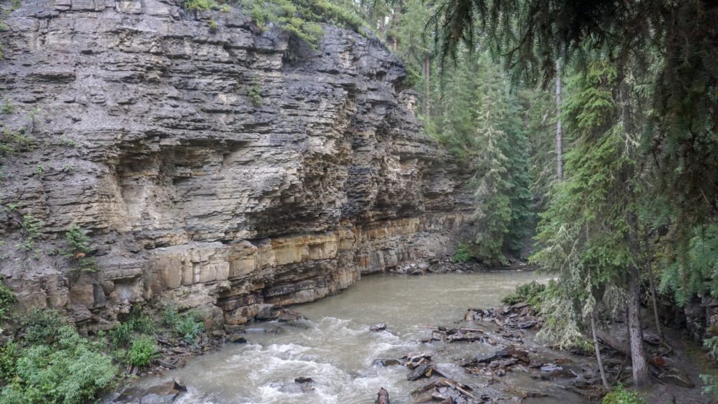
The route begins with a descent from the trailhead to the first of two river crossings at 0.3 mile. The remainder of the route weaves, bobs, and undulates along the banks of this river in a sort of slow motion dance with the topography. There are a handful of rest spots along the way, as well as junctions with side trails that are part of the Big Sky community trail network and a junction with the First Yellow Mule Trail at 0.5 mile, but the main path to the falls is always obvious.
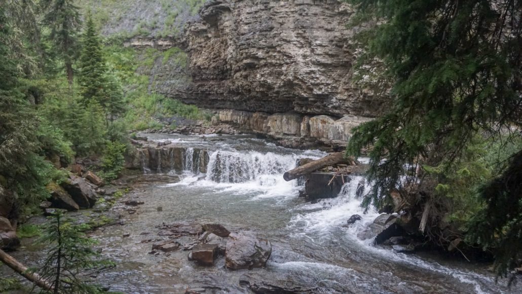
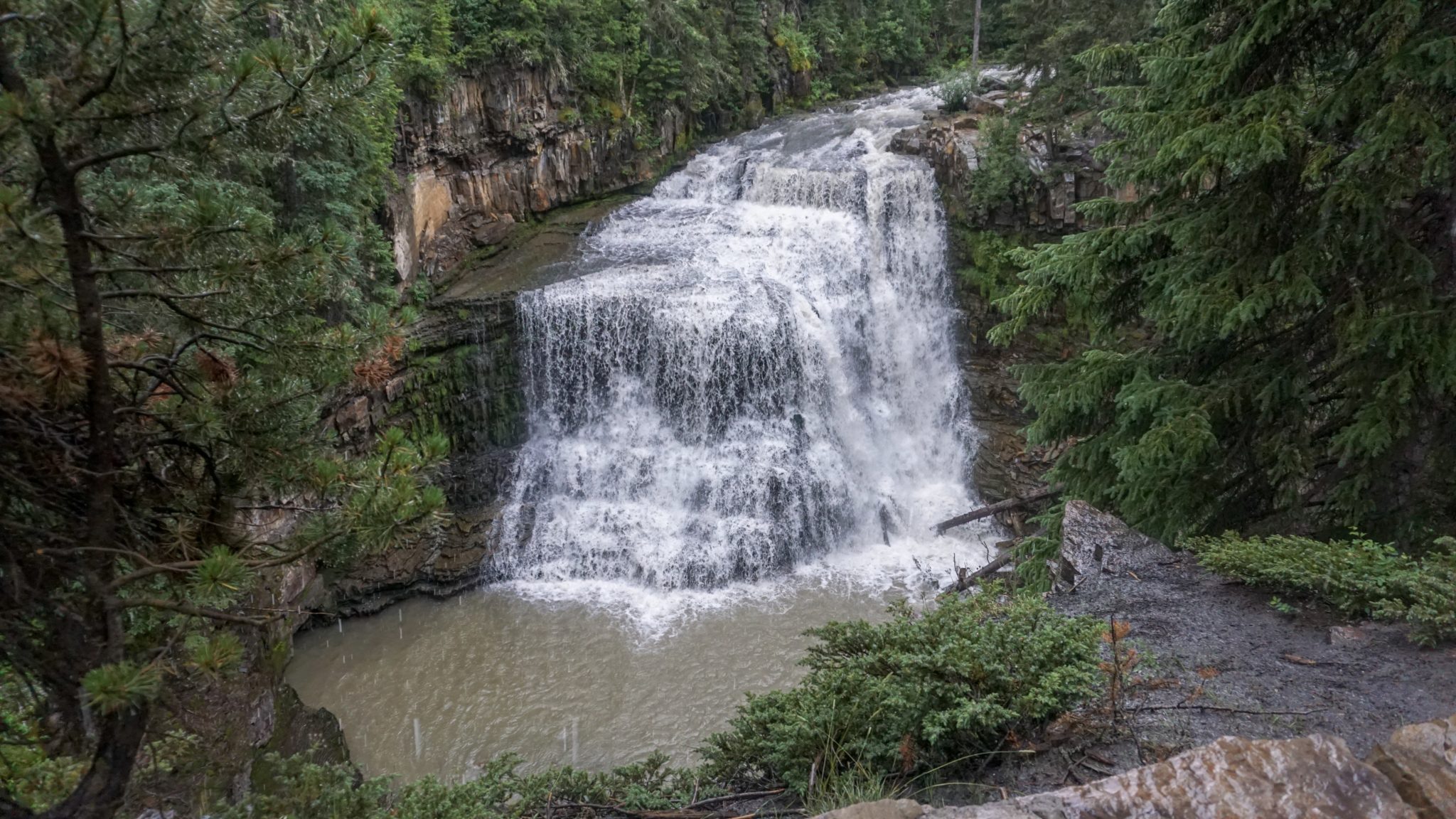
At 0.6 miles, the trail sidles up to the river at a spot where it cascades over a small ledge. Shortly after this cascade, the trail reaches the second river crossing. Beyond this crossing, the trail climbs up and over a ledge to avoid a narrow, rocky stretch of the river just below Ousel Falls. At the end of the route, you will arrive at a flat, shady area with a couple of picnic tables and two different viewpoints for the falls.
The area around the falls is a great place to relax and enjoy the falls. Families will enjoy picnicking, so long as they don’t let their younger kids wander too low to the vantage points for the falls. The higher vantage point looks down at the falls. The lower vantage point looks directly across at the falls to where it spills into a wide pool. Some people may try to climb down to the banks of the river to see the falls from below, but those rocks may be wet and slippery. Do so at your own risk.
Tags: Big Sky, Gallatin National Forest, Gallatin River, Ousel Falls, Ousel Falls Park, South Fork of the West Fork Gallatin River