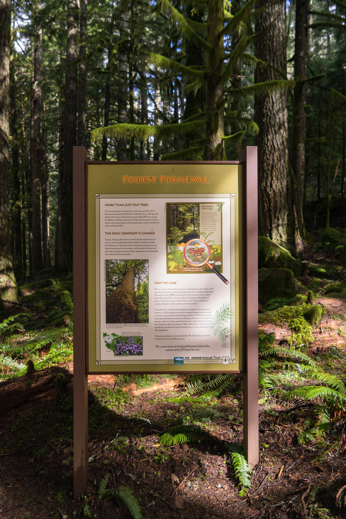
At 33.5 miles long, the Salmon is a scenic river originating on the southwestern face of 11,249 foot tall Mt. Hood, one of several impressive Cascade volcanoes. Designated in 1988 as an official Wild and Scenic River it, along with several other rivers in the area, offer countless opportunities to explore. Lush green canyons, basalt cliffs and deep clear pools (of extremely cold water) dot the path of the Salmon River, some of which is accessible by trail. Upwards in the Salmon River Gorge the Salmon-Huckleberry Wilderness is a 62,455 acre area of steep forested river and valleys. While this trip isn’t within the Salmon-Huckleberry boundary, it’s a phenomenal example of the environments one finds on the flanks of Mount Hood: where you can just possibly imagine mystical, ancient creatures creeping through vast, fern-covered old growth forests coated with moss. This trail is a great introduction to the area, and might just be the spark to get you further into the backcountry on future trips.
The Old Salmon River hike follows Salmon River Road, a more recent addition to the area compared to the footpath. It’s important to note that while this trip starts from the first parking area along the trail, there are numerous other entry points, allowing visitors to hop on any portion of the trail, space permitted (as you can guess, this can be a popular one on nice weekends). With only 200 feet of elevation gain for the entire trail, it’s a great option for families with children, or anyone who’s in the mood for a relaxed riverside meander.
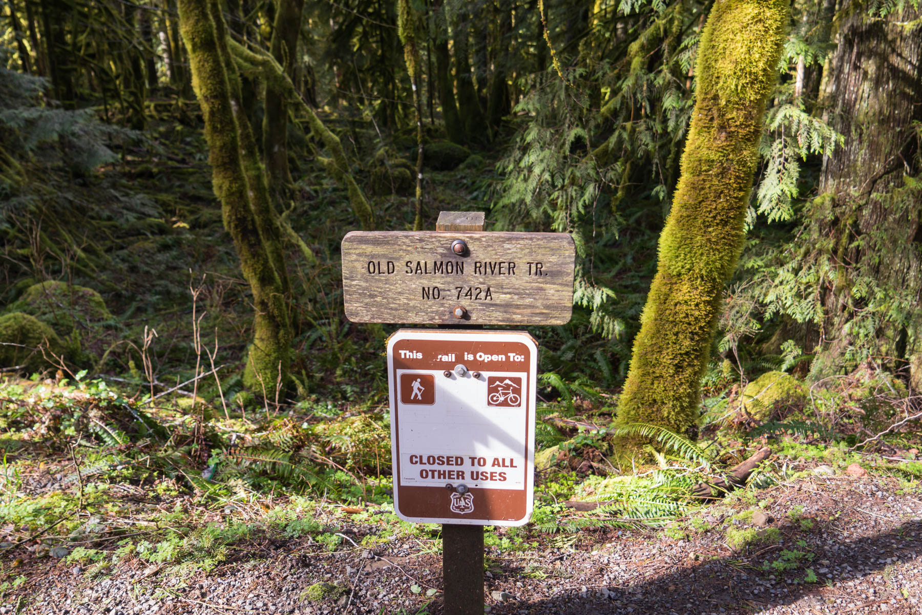
Beginning at the first trailhead, look for the well marked gravel parking lot with a wooden sign. The start of the trail begins just to the right.
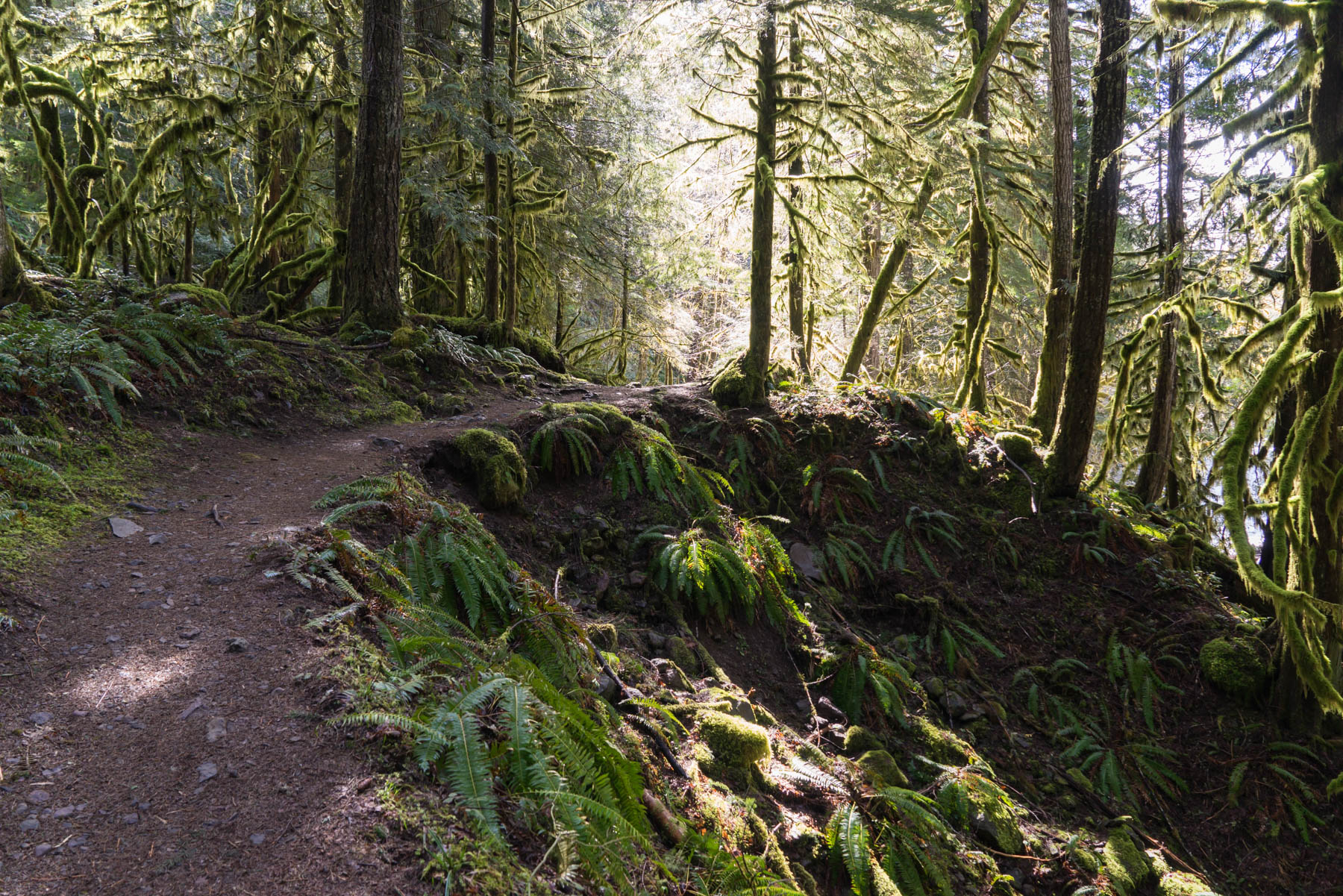
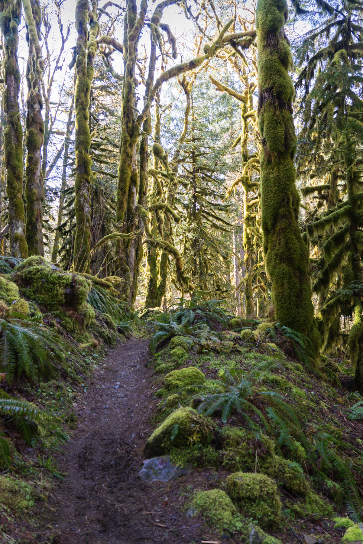
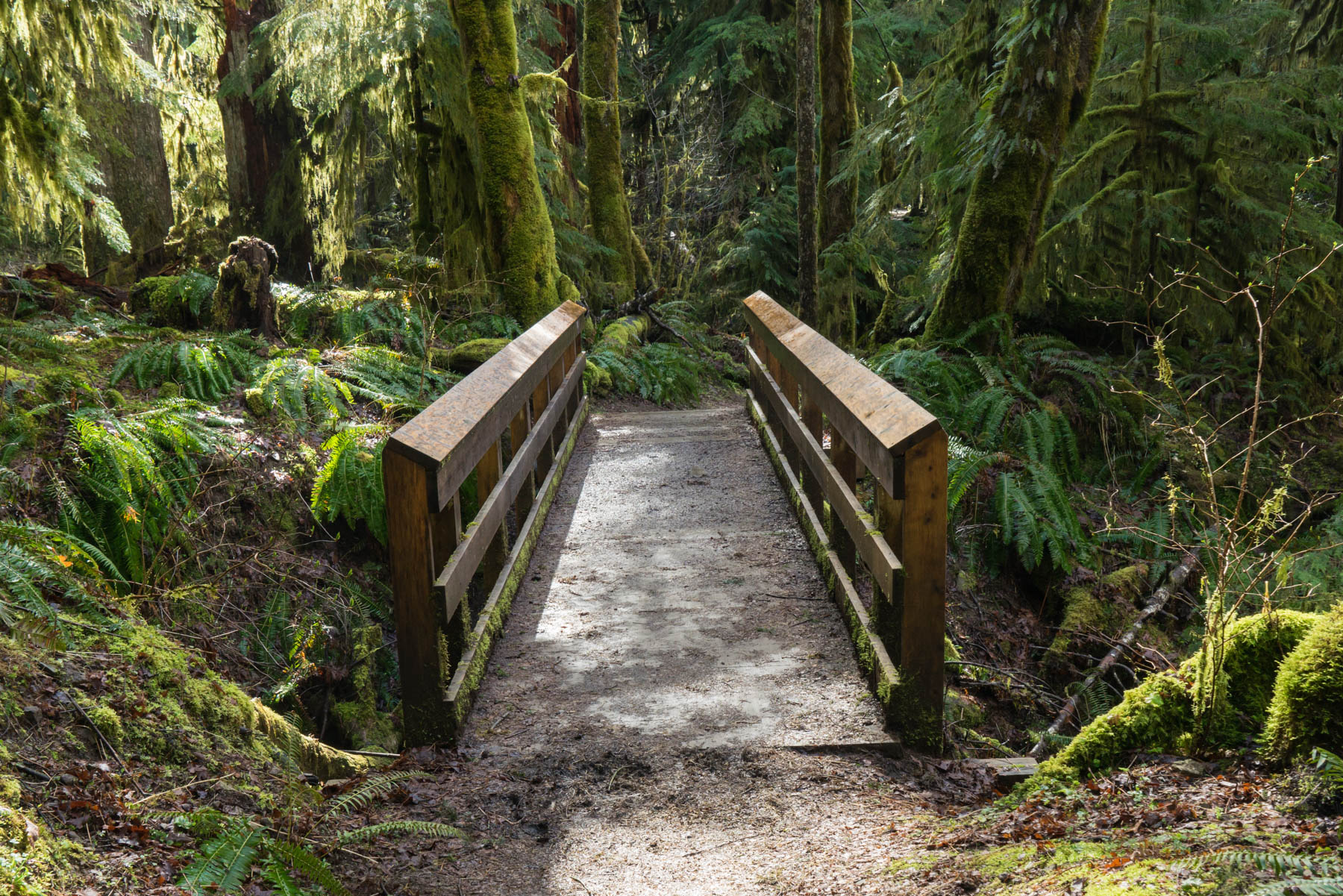
Immediately, the trail begins to head down a short hill towards the river, entering a dense forest of douglas fir, western red cedar and sword ferns, among other plant life. Most noticeably, moss carpets everything in a rich green layer.


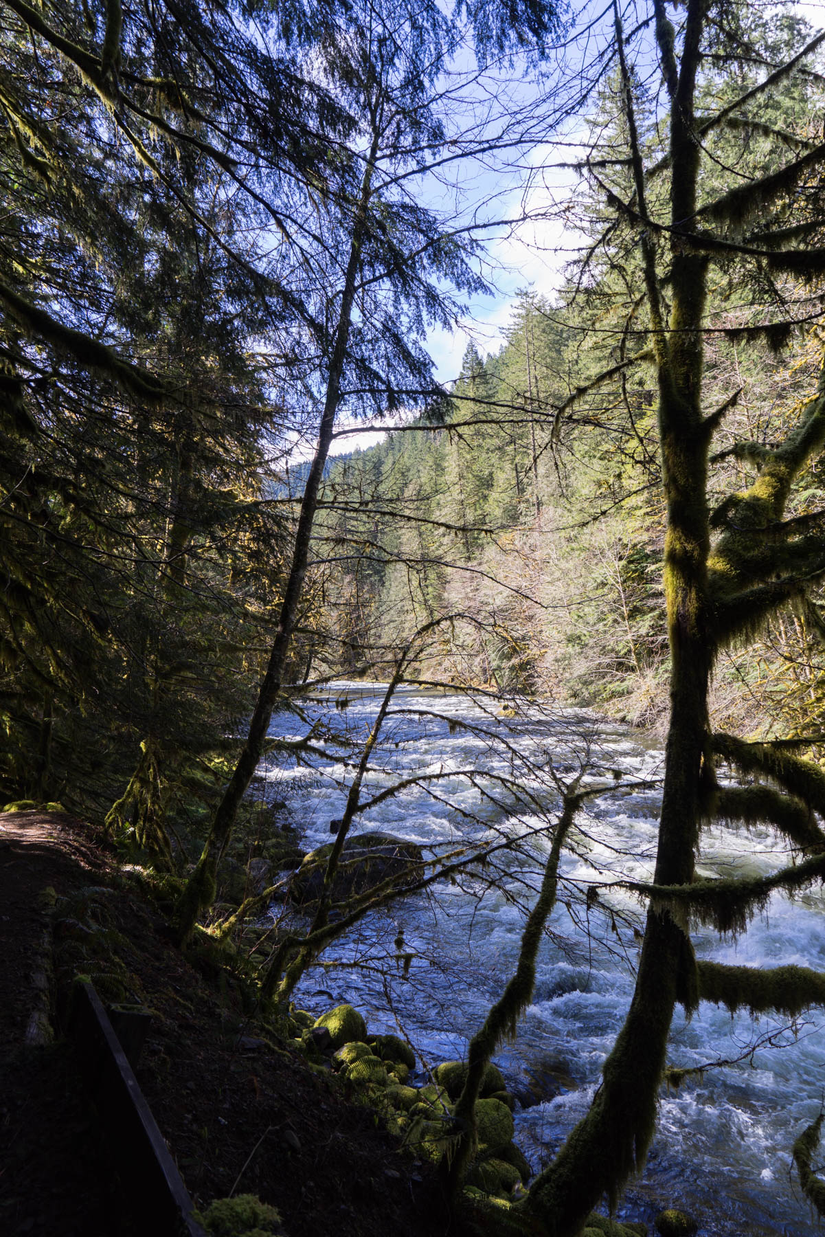
For the next roughly 1 mile, the trail is a mellow walk next to the river, with numerous options to easily drop down and enjoy the water via several small beaches.
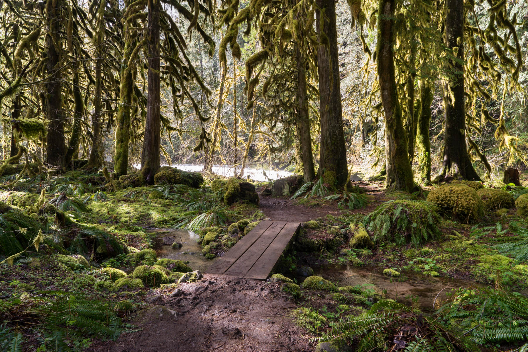

At around 1.25 miles, at the time of this write-up, you’ll encounter a larger seasonal stream (while there are many small crossings on this hike, this one can be a little bigger). During my trip, I decided to forgo walking across in the (VERY COLD) water, and instead took a well used trail to my left toward the road. This allowed me to simply cross the creek using the pavement, after which I dropped back down to the trail using another fairly obvious side trail. The road is wide, with good view distance for cars and hikers to see one another.

Fast moving seasonal stream!
Back on the trail, continue to make your way along the river, enjoying more fantastic views of the water and forest. Shortly, you’ll find yourself back out on the road, which you’ll follow for a short distances before re-entering at the signed trail. Throughout the hike, there will be several points where the trail will lead back to the road. All entry/exit points are well marked and obvious.

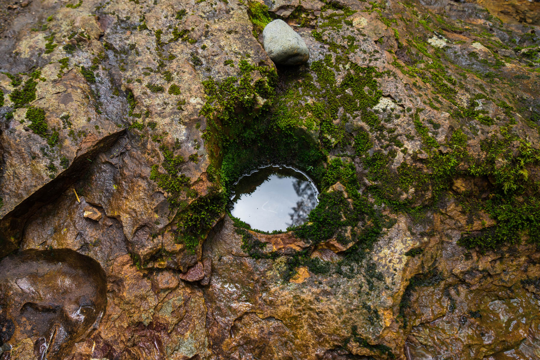
A little after the 2 mile point, you’ll encounter Green Canyon campground, a small first-come/first-serve car camping area next to the trail. Just beyond the campground is a day-use area with several picnic tables. Also of note: across from the campground, you’ll see several interesting brown/rust colored rocks along the water edge. If you look closely, you might notice a suspiciously rounded, bowl shaped indent in the rock face (see photo below). This is likely a metate rock, or indent created by grinding seeds or grains with a smaller stone (the rock you would use in your hand, called a mano or hand stone). Similar remnants of human activity are found throughout the world (turns out, rocks make great tools).


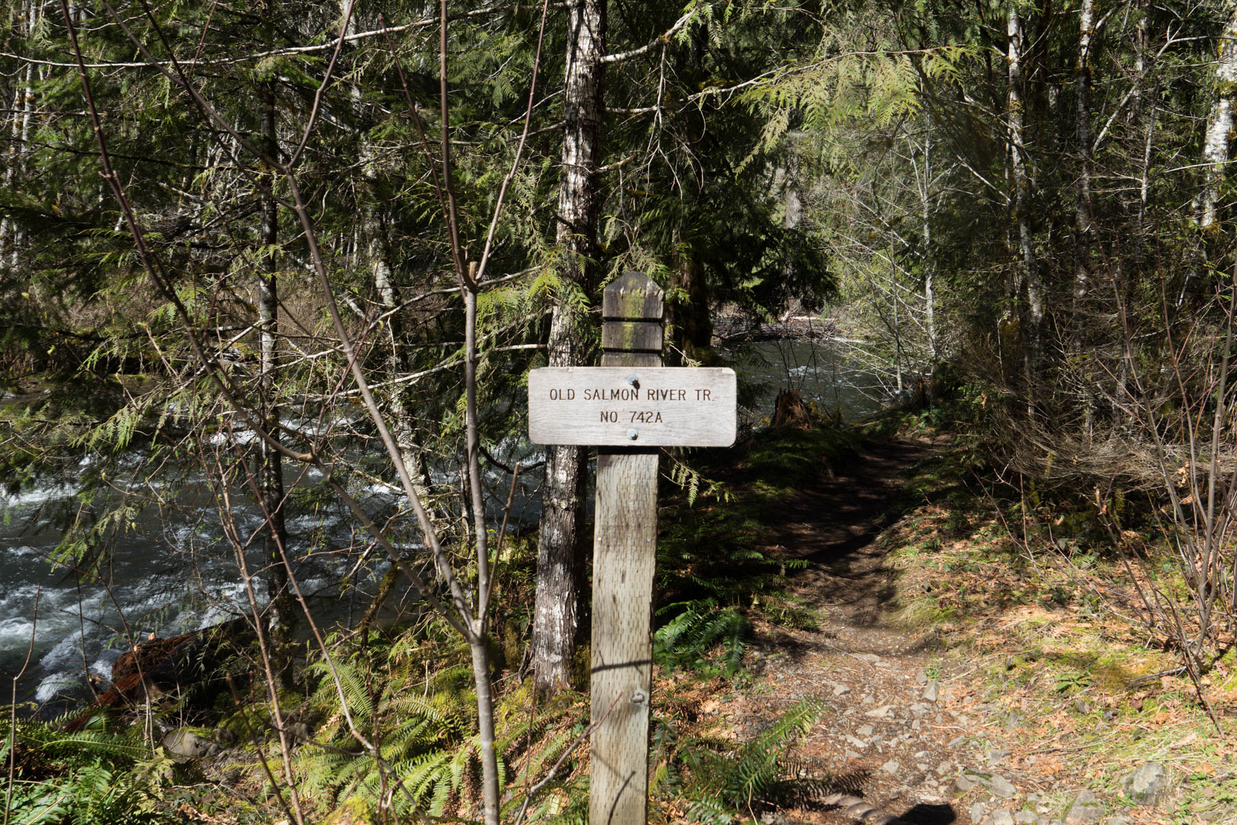
Continuing onwards next to the river, you’ll eventually again reach the road and the end of the old trail. At this point, you’ll see a bridge, and another trailhead on the other side of the road. This is the start of the similarly named Salmon River Trail (number 742, as opposed to the Old Salmon River Trail, 742A). This trail is the launching point for longer day and overnight trips into the Salmon River gorge, as well as several prominent buttes in the area. Alas, another trip for another day.
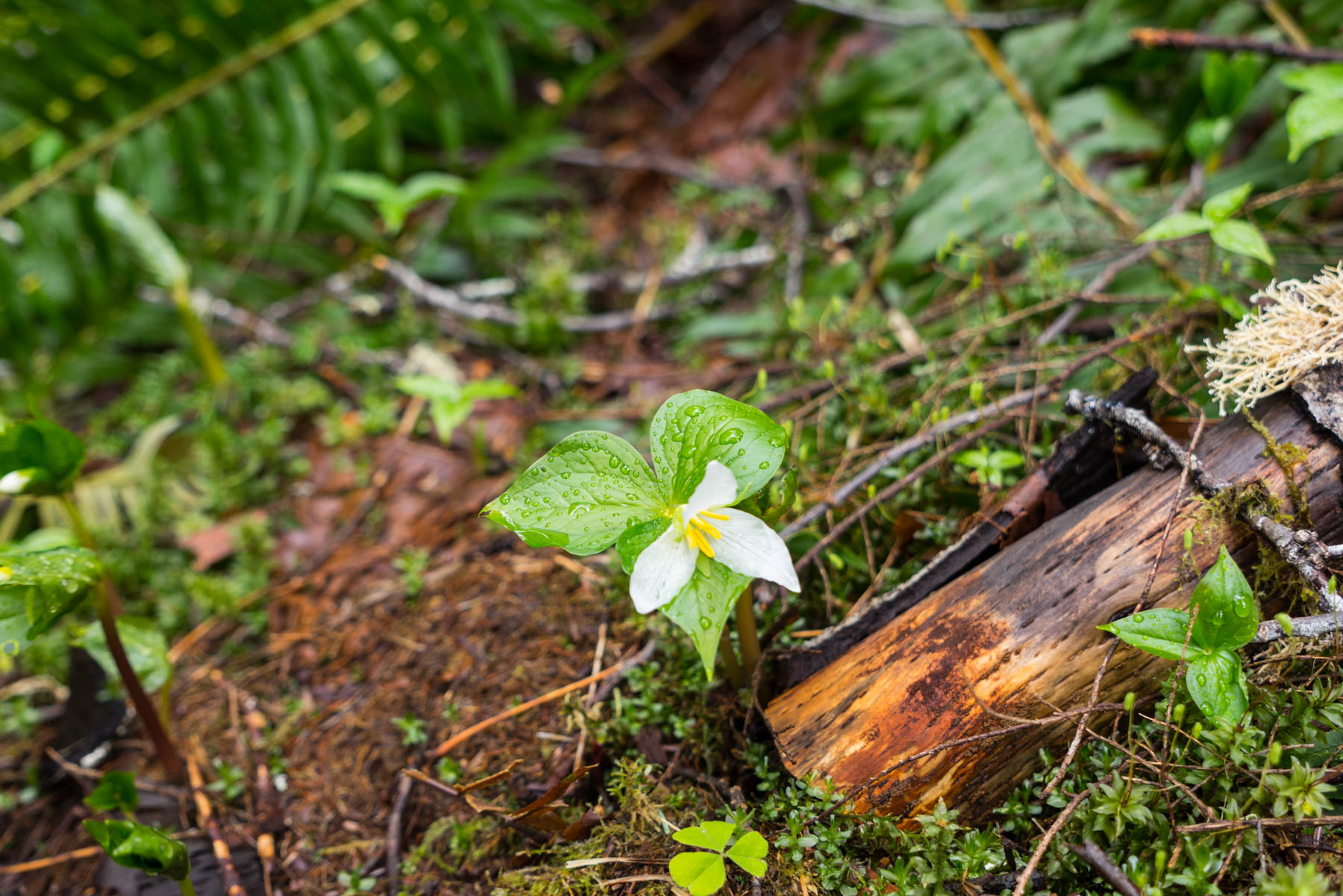
At this point, you’ll simply retrace your steps and head back the way you came, enjoying more great views and likely a few wildflowers along the way.


-

- Trillium
(Thank you to to Trailkeepers of Oregon for the great trail information for this hike. Not only do they offer great hike ideas, but also maintain an active user forum and even sponsor trail maintenance days).
Tags: Camping, dayhikes, dayhiking, dog-friendly, foliage, Hiking, mount hood, Mt. Hood, Mt. Hood National Forest, nature, oregon, outdoors, pacific northwest, Salmon River, wildflowers