The National Trail is the main artery that runs through South Mountain in Phoenix, Arizona. All other hiking trails along this range will eventually lead you to this alluring beast of a trail.
It is the longest direct hike on South Mountain and goes the entire length of the mountain, making this route 15.1 miles one way. (Technically, the trail is 14.3 miles, but you will need to hike an additional .8 mile to reach the trailhead.)
In 2012, the Phoenix New Times listed the National as the Best Hiking Trail in Phoenix and it’s no doubt that this hike isn’t just average, it’s a complete adventure — this gorgeous route exposes you to the evolving desert landscapes of the entire mountain, providing you with a rich range of scenery along the way.
However, there is a minor hurdle you have to get across before you can enjoy this trail. The road leading to the trail-head on the western end of the mountain is typically closed off to motorized vehicles. The only time the park allows cars to drive on it is the first weekend of the month. If your schedule doesn’t permit this, you’re going to be looking at a much larger mileage tally to hike back to your trailhead.
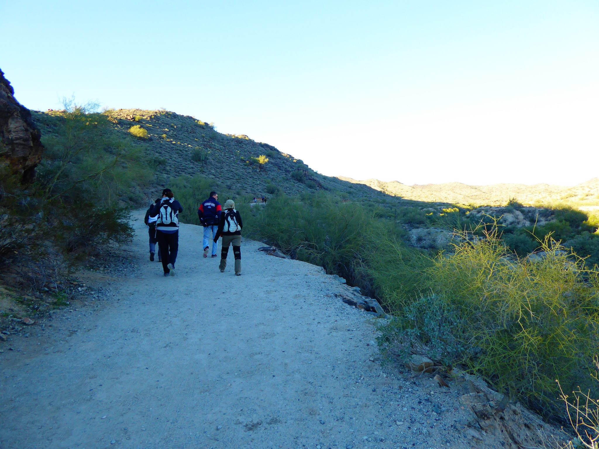
This trail is intended to start from the east side of the mountain and move along toward the west. This would mean that you will start the trail from the Pima Canyon trailhead and walk close to a mile along the dirt road. Toward the end of the dirt road it will split and you will want to stay towards the right where you will see a sign directing you up to the trail.

Taking the dirt road towards the beginning of National Trail
National Trail begins by taking you deeper and higher into the mountain range by gradually inclining and curving around the edges of the mountain. The early sections of this hike will be the toughest, but push through the steep climb near the trailhead and the views will get better and better as more of the inner mountain is exposed.
Once on top of the ridgeline, the trail begins to flatten out and the adventure really begins! From here you will see unique rock formations — boulders that seem delicately placed, leaning upon each other for support. It seems like at any moment, these heavy rocks could just easily slip away from each other and roll down the mountain. You will stroll through wash areas and pass Fat Man’s Pass from the secluded Hidden Valley Trail. For a while you might even forget that you’re walking along the top portion of South Mountain.


Hiking past the antennas along South Mountain
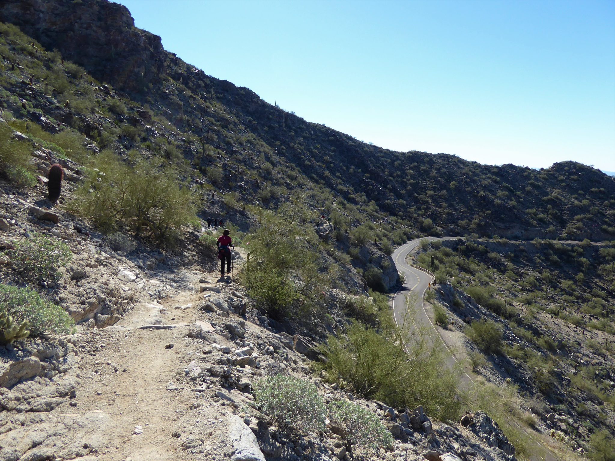
As you pass by the highest elevation point where you will see the towering antennas, the trail will begin to descend until you reach the 7-mile mark at Telegraph Pass. This is the halfway point and a good spot to take a break and eat some lunch.

Descent towards the half way point where Telegraph Pass is located

Heading towards Telegraph Pass you will follow along next to Summit Road
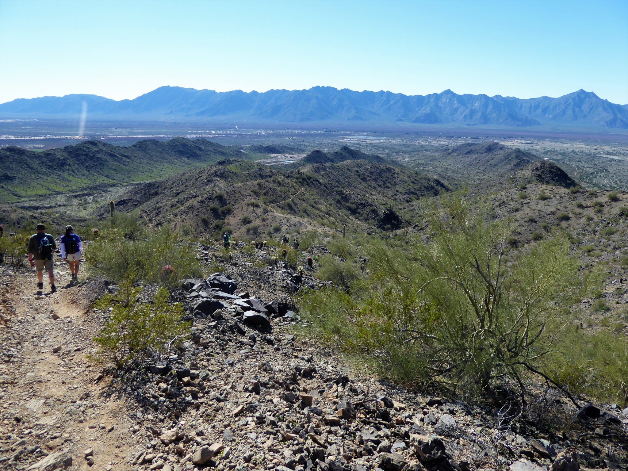
As you continue, follow the trail signs and make your way back up toward the Western end of the mountain. At this point you will notice the shift in the terrain. The mountain now seems a little bare and rugged compare to the previous section. Gone are the rock formations, which are now replaced with sleeker rocks and rolling hills with more green vegetation. It’s a lot quieter on this side– with a lot fewer people as well.

As you approach the top of the ridgeline, you will mainly be following along with the rim until you make the final descent down. The route will curve further to the west and the view of those mighty antennas you had previously passed will disappear behind you.


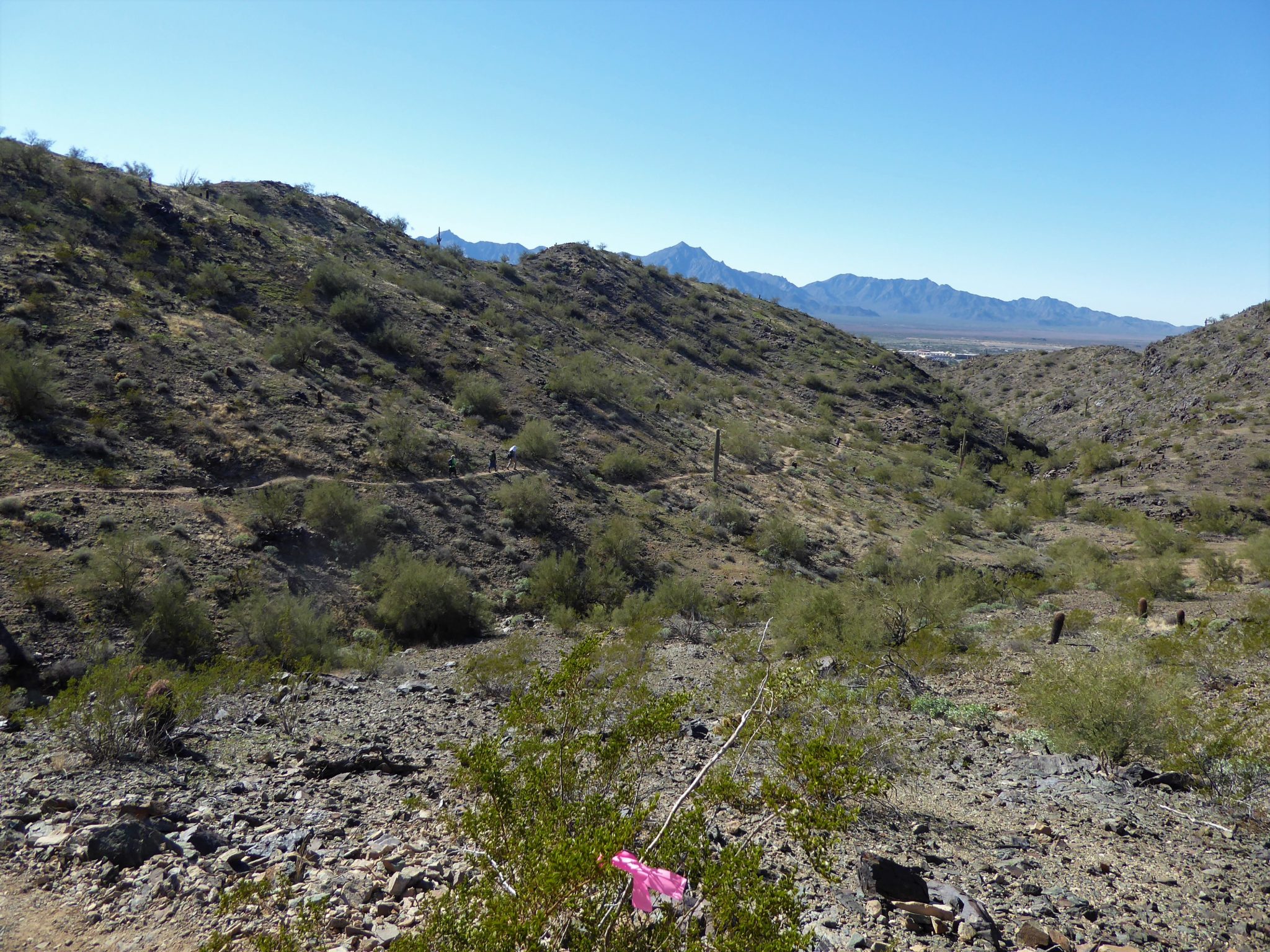
At around mile 10 the trail begins its final descent. For the most part this is a gradual process but at times there are steep areas, in which your tired legs and knees will really feel it (or at least mine did!)

As you approach the 12 mile marker, the trail is now back onto the desert ground and you will be following this flat path until you reach the end at San Juan Lookout.

Once at the lookout you are at the end of National Trail!

The end of National Trail

View from San Juan Lookout

San Juan Lookout
Be sure to bring along a congratulatory treat for yourself in honor of completing the longest hiking trail along South Mountain! While a lot of hikers have and will be on this mountain, only a select few can say they’ve hiked the entire trail.
Tags: Arizona, AZ, hike, Hiking, hiking trail, National, National Trail, outdoors, Phoenix, South Mountain, trail, Trail Write-Ups