Mount Williamson tends to get the short end of the stick from many day hikers in the Los Angeles area. It’s pretty remote — oftentimes literally at the end of the road coming from the city. The distance isn’t long so it might not justify that drive, and if you’re looking at a map, it looks like the peak is right next to the Angeles Crest Highway, leading you to think you’re not going to be that far away from civilization.
That’s a shame, because those hikers are missing out on a beautiful stretch of trail with stellar views of the central San Gabriel Mountains and the Antelope Valley — and on peaks where they’re likely to have those views all to themselves. Add to that Williamson’s odd three-bump summit ridge, the chance to hike on the Pacific Crest Trail, and options to extend this into a full-fledged backpacking adventure in one of the most remote parts of the mountain range, and now you’ve got yourself some great reasons to give Williamson a try.
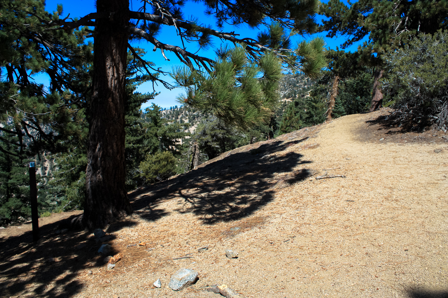
The trail kicks off at Islip Saddle – at the junction with the slowly crumbling CA-39. The hike to Mount Islip begins on the south side of the Angeles Crest but this route follows the Pacific Crest Trail north and west from the north side of the road, where a sizable parking area sits next to some picnic tables and a toilet. It’s clearly marked and signed, so look for the PCT emblem. Another trail – the South Fork Trail – also heads north from this trailhead but that will take you to the South Fork Campground on the north side of the San Gabriels.

the mark of excellence
The trail begins meandering through some lovely stretches of pine forest as it makes its way upward, paralleling the Angeles Crest on the north side of a large bump.

You’ll have really nice views on this route almost immediately after stepping off the trailhead. Looking to the southeast, you can easily make out Mount Islip right across from the Angeles Crest. On clear days looking east, you may also be able to make out Throop Peak and the long ridge to towering Baden-Powell, too (a quiet but long trek to the summit of Baden-Powell from Islip Saddle is described on the site here).

Rabbitbrush bounds the trail on both sides here, and will bloom (and remain blooming) from the late summer into the fall. In fact, there are lots of high altitude plants that fire off their blooms here long after the coastal “megablooms” have passed into memory and Instagram timeline favorites. The high altitude and shade up here also means you can usually find some cooler temperatures when the mercury is soaring down in the cities … but it also means you may find yourself huffing and puffing a bit more than you’re accustomed to. It’s OK – just take it easy, drink lots of water, eat snacks, and know the signs of altitude sickness just in case.


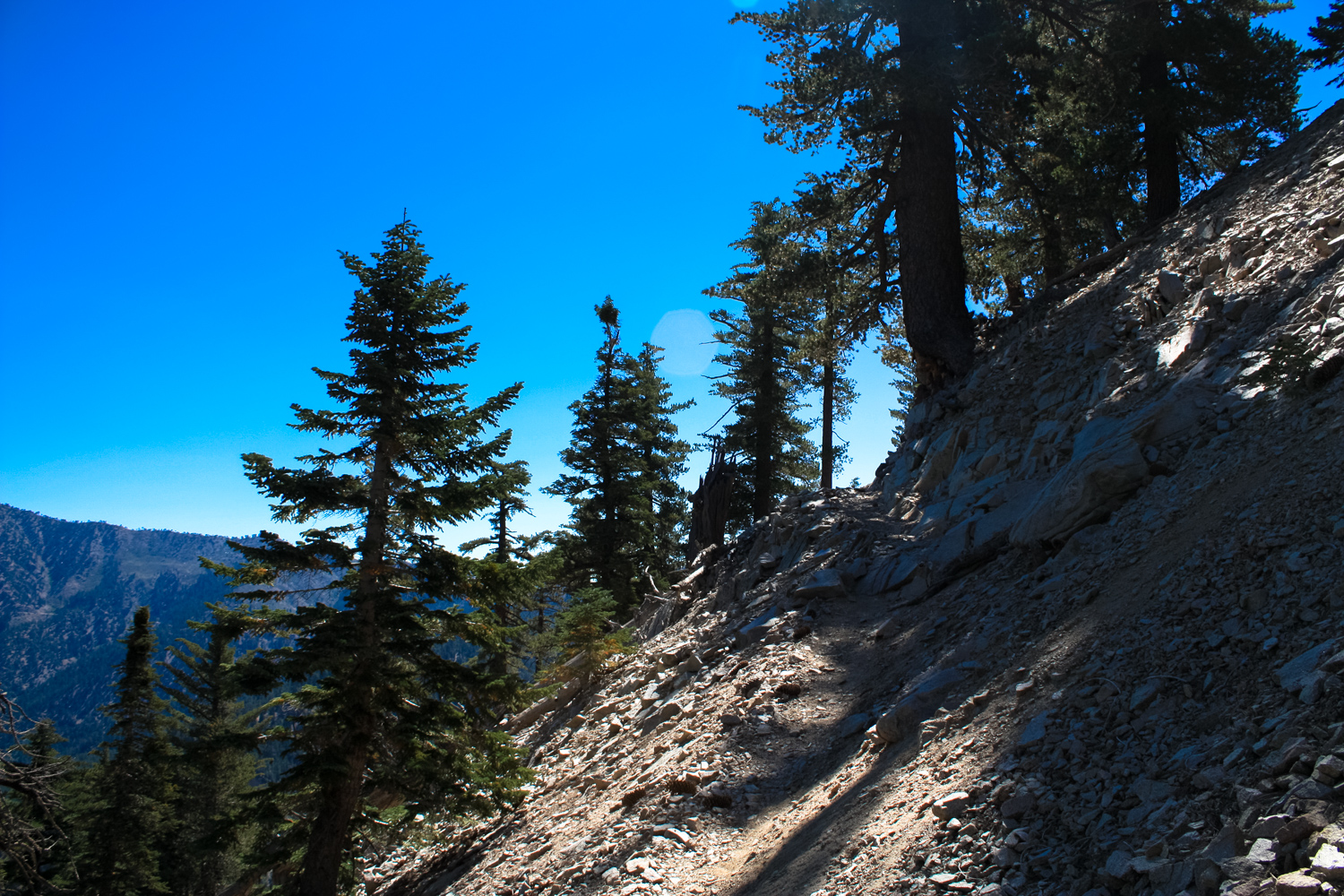
At 1.1 miles, the trail makes a sharp switchback to the west on the south slope of Williamson, which will be looming almost directly above you. The trail gets a bit rockier and more narrow here and the slopes are fairly steep, so watch your footing as you continue the climb upward.

By the 1.4 mile mark, the trail turns north just after a section of truly exemplary views of San Gabriel Canyon, directly to the south. You will not find any better views of this incredible canyon in the San Gabriel Mountains:

I mean, come on, right?
You’ll reach a junction with the Williamson spur trail at 1.7 miles (there’s a nice, shaded little grove just off the trail right before this that’s a perfect spot for a picnic, too). The PCT continues straight, heading west back down to the Angeles Crest Highway in 1.5 miles — a nice alternate option if the trailhead at Islip Saddle is full, just note that section of the trail is a bit more steep and narrow than the one you’ve come up. Keep right at the junction here to head north toward Mount Williamson.

Twin Peaks and Waterman Mountain from the junction
The trail here definitely gets more rugged than the PCT-route you’ve been on so far, but it’s still passable for most hikers. There are some tight switchbacks up rocky, slippery slopes and you’ll have excellent views of Goodykoontz Peak and the Pleasant View Ridge to your northwest.

Just before 1.9 miles, the trail gets pretty steep and narrow. Watch your step and keep on climbing up and at 2.1 miles, keep right at the junction to finish this climb up a short scree slope to the bald peak of Mount Williamson.

Although there isn’t much shade to be had on this summit, the lack of trees do make for some spectacular views in nearly every direction. It’s also a great place to see the transition from the forested San Gabriels to the more barren Antelope Valley to the north, where you may also be able to spot the scarred terrain around the San Andreas Fault, too.

looking toward Baden-Powell and Mount Baldy

meanwhile, in the Antelope Valley …
Although this peak is the named summit of Williamson (as well as the location of its USGS marker), there is another, slightly higher bump on the mountain just to the northwest that the Sierra Club maintains as their summit for their Hundred Peaks section. Even if you aren’t interested in bagging all of their peaks, that particular summit also happens to be more secluded and shaded and has a fun, short trail to reach it, too. So if you’ve come all the way up here, why not head on over to the second summit?
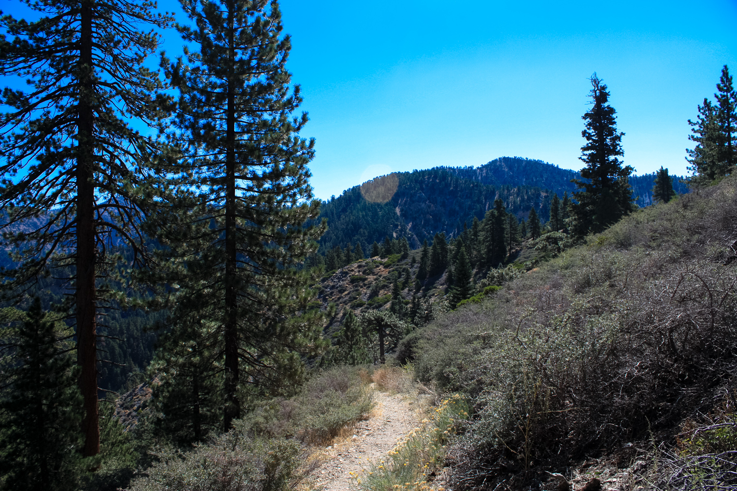
Backtrack to the last trail junction and continue along the ridge to the northwest. This stretch of the trail is narrow, rugged, and really fun!

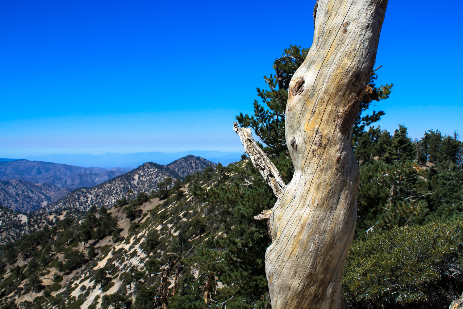
At the 2.5 mile mark, you’ll see a small cleared spot just off the trail, at the slightly higher section of Mount Williamson. There are also some great windswept logs here, which add an element of weathered moodiness to the landscape.

If you’re done for the day, return back the way you came in.
If you’re up for a longer adventure, you can continue along the rough ridgeline trail all the way across Pleasant View Ridge. From here, you can access Goodykoontz Peak, spot the wreckage of a C-119 that crashed on Pallett Mountain, or even trek all the way to Burkhart Saddle where you can trek up to Will Thrall Peak or head north to the Devil’s Punchbowl on the High Desert National Recreation Trail (it’s about 2.8 miles one-way from the high point of Williamson to Burkhart Saddle and it’s rough, steep trail, so only tackle this if you’ve got the time and the stamina!)
Tags: Burkhart Saddle, goodykoontz peak, mount williamson, Pacific Crest Trail, pallett mountain, Pleasant View Ridge, Pleasant View Ridge Wilderness