In the remote, desolation of the White Mountains, amidst some of the oldest trees on the planet, hearty and determined settlers fought isolation and brutal weather conditions to eke out an existence digging holes in the ground looking for mineral wealth.
Just a short distance from the Schulman and Methuselah Groves of bristlecone pines, the first non-native explorers in the region established the small Reed Mine in 1863 with the hopes of striking gold and silver.
The shiny stuff never came out of the mountains here, but enough zinc and lead were around to encourage folks to keep digging for a while.
The mining operations changed hands and stopped completely in the 1950s, but several structures still remain and are easily viewed on this quick out-and-back (note: you can also continue on the Cabin Trail and join the Methuselah Walk, although you will miss a section of exemplary views on that route if you hike this way).
Begin your hike at the Schulman Grove / Ancient Bristlecone Pine visitor center and head south on the trail toward the Mexican Mine.

This trail meanders near the parking area and then makes a quick climb up on a fairly straightforward route. As with all trails in the Ancient Bristlecone Pine Forest, please stay on the established route — bristlecones have surprisingly shallow and wide-reaching root systems that can be easily damaged by hikers’ boots compressing the soil around them.
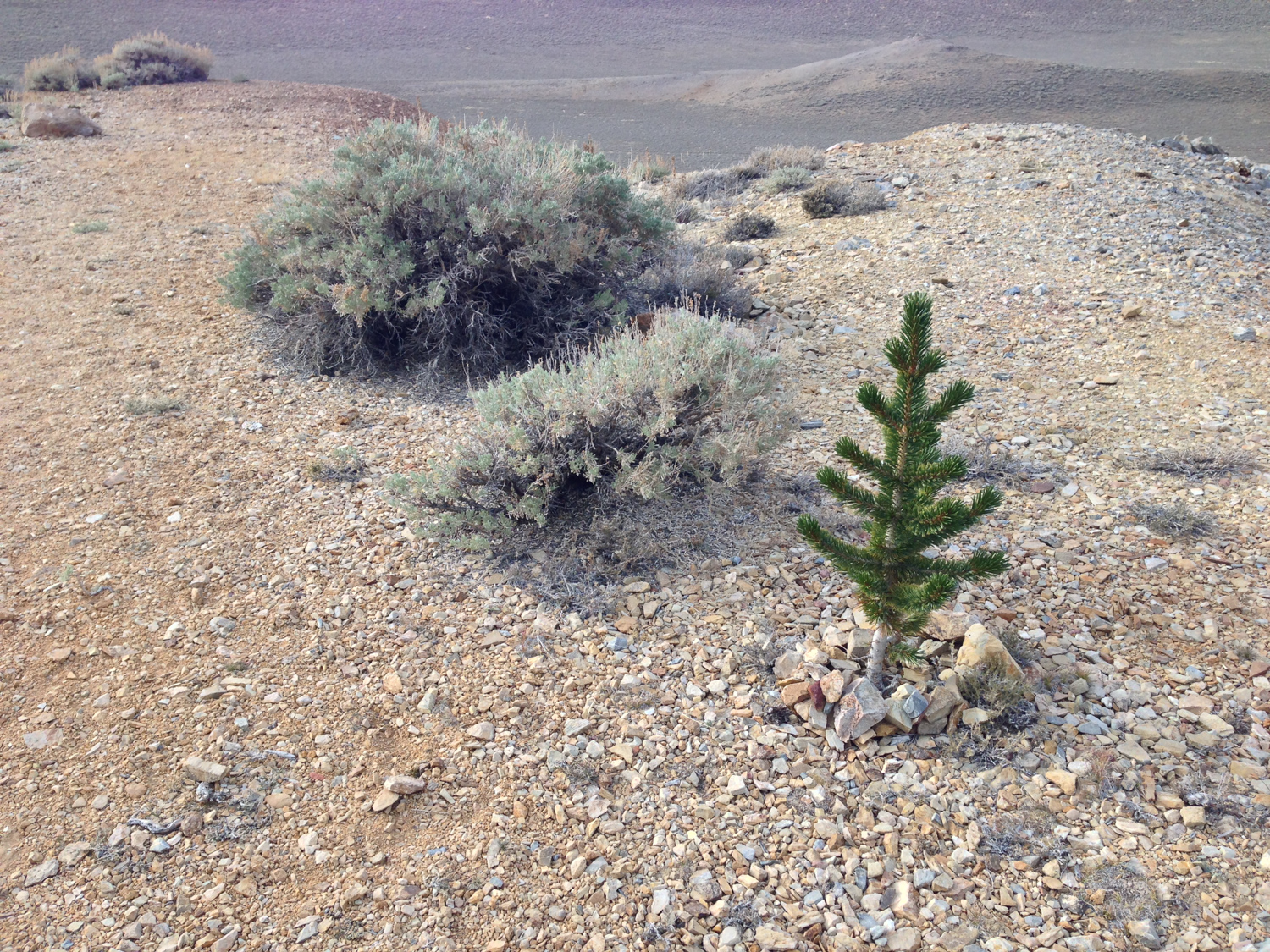
Just north of the mine itself, you’ll notice an area with an unusually large number of young bristlecones, which some believe is a result of machinery disturbing the soil here and burying the bristlecones’ pinecones, which usually just rest on the surface.

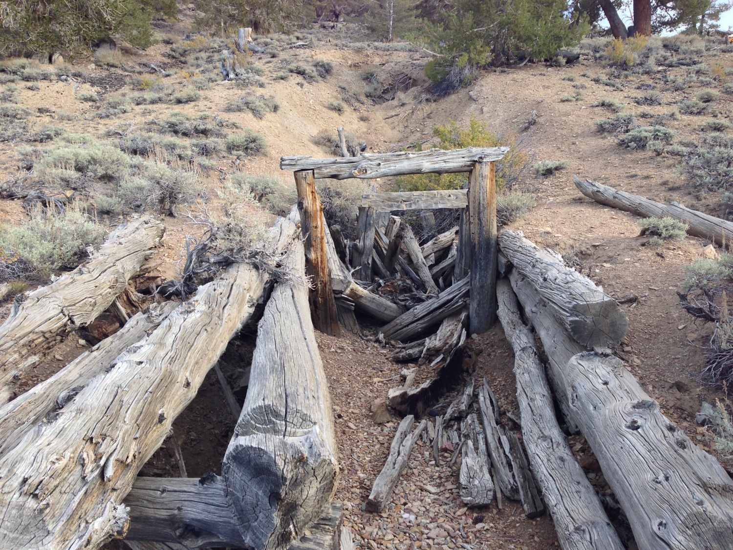
At just 0.5 mile, you’ll reach the remaining buildings and mine shafts of the Reed Mine, which was sold to the Mexican Mining Company and renamed the Mexican Mine (hence the trail name). None of the mine’s shafts or buildings have been reinforced, so please just enjoy them from the exterior.
All of the wood you see in the remaining construction came from these bristlecones and limber pines.

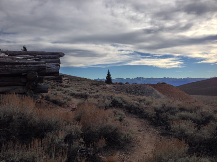


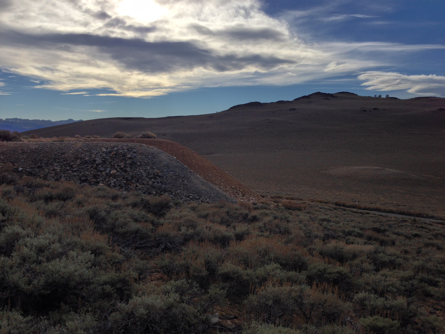
You can easily make out signs of old tunnel entrances and piles of extracted rock in the area.
Despite some modest success here, there was never enough to warrant the “intense development” the Mexican Mining Company planned for the area when they purchased it. A nearby interpretive plaque shows an image of an ‘intensely developed’ site in Nevada that has highlights a significantly higher level of disturbance in the natural environment.
When you’re done exploring the old mine grounds and gawking at the views of the Sierra Nevada to the west, return back the way you came or continue on the Cabin Trail to join the Methuselah Walk.
Tags: ancient bristlecone pine forest, Inyo National Forest, mexican mine, reed mine, White Mountains