The Mahana Ridge Trail is the crown jewel of the Kapalua Village trail network. The 6.5 mile one-way route heads uphill on Mahana Ridge before connecting with the Honolua Ridge Trail and the Maunalei Arboretum. Dense forests of native and non-native trees and views across the channel toward Molokai reward hikers who attempt to follow the trail’s moderate grade high into the West Maui Mountains.

In the recent past, the best way to hike the Mahana Ridge Trail was downhill from the Maunalei Arboretum. A shuttle once ferried hikers and sight-seers uphill to the arboretum, allowing for a relaxing downhill shuttle walk. Unfortunately, the past tense conjugation of my verbs indicates that the shuttle no longer runs, and the only way to follow the trail is to walk it uphill from D.T. Fleming Beach.

A few mild cautions apply on this route. First, the trail can become slippery following heavy rains. Trekking poles may help, but if you’re here on vacation you may not have thought to pack poles. Take it slow if it has been raining recently. Also, many chunks of the trail are overgrown. It’s not so badly overgrown that the route is impassable, but hikers who aren’t fond of pushing through brushes may want to sit this one out.

Most annoyingly, if you hike this route in the early morning, be prepared to encounter a lot of spider webs spun across the path. The spiders themselves are harmless, but taking a spider web in the face is never a recipe for a good time. Grab a stick and wave it in front of your face whenever you pass through a particularly dense section of vegetation. It will break up the spider webs, but the spiders will get over it. Job security, you know.

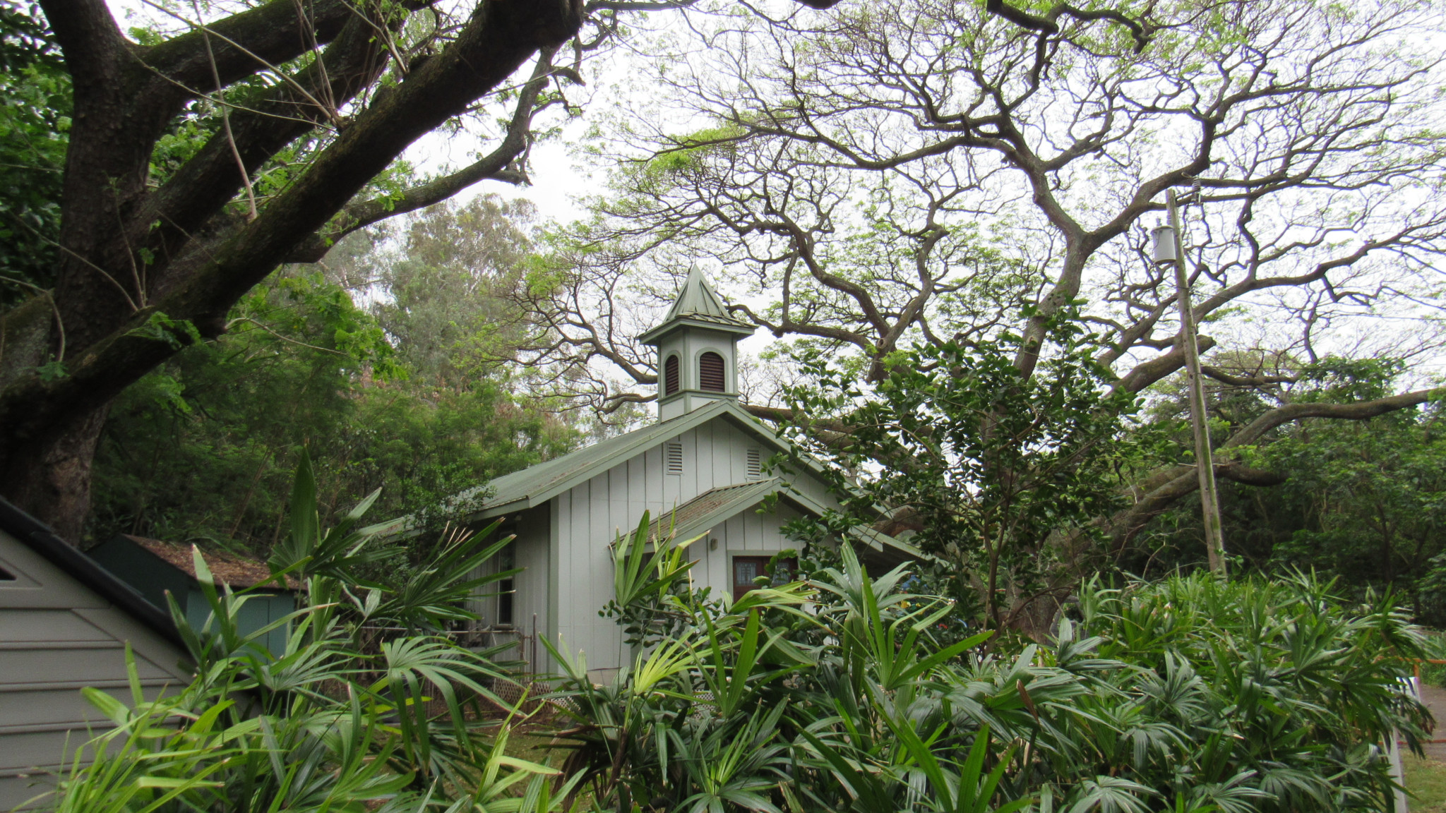
From the parking area for D.T. Fleming Beach, walk out onto the access road toward a charming building that houses a preschool. Continue past the school to find the beginning of the Mahana Ridge Trail. Turn right to proceed uphill on the narrow single-track. You’ll continue along a moderate grade through overgrown grass and a corridor of 15-foot high kiawe trees.

The trail passes under a Honoapi’ilani Highway and then continues above some out-buildings for the Kapalua golf courses. At 0.8 mile, the trail hits a paved access road. Turn left to follow the access road for 150 yards to a continuation of the Mahana Ridge Trail on the right.

The trail continues climbing until it reaches the obstacle of a gulch draining in from the west. There’s no easy way around this gulch, and so the trail drops down into the gulch before climbing out again to regain the ridge. The climb out is the steepest, most challenging part of the route. Stone steps have been placed into the steep slope to aid you in the climb. You’ll also get some good views toward Molokai from the small barren spot where the forest cover yields long enough to offer a vista.

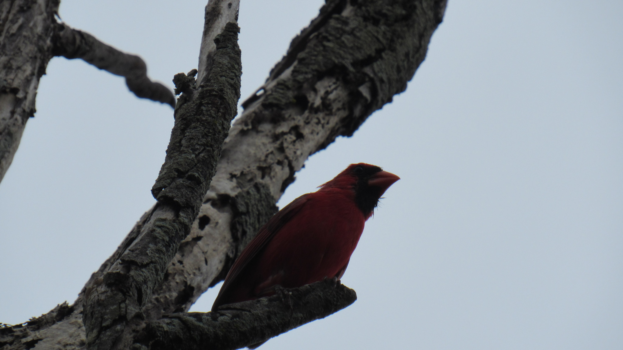
Beyond the steps, the trail settles into a mild-to-moderate uphill climb along the ridge. Like most wild places, the best way to experience is on foot, and from here on you’ll get a taste of Maui’s wild side. The dense forest soothes the senses as it drips with life and reverberates with bird song. Here is the wild side of Maui that few people get to see from the comfort of their resorts or their automobiles.

At 2.6 miles following a series of broad switchbacks, you’ll reach a junction with the overgrown Pineapple Loop. A casual glance at the understory of the forest reveals a smattering of feral pineapple plants left over from the time when this area served as a pineapple plantation. The Pineapple Loop, along with the Akia Loop just beyond are poor options for side trips due to how badly overgrown they are. Skip them unless you love the punishment of a good bushwhack.

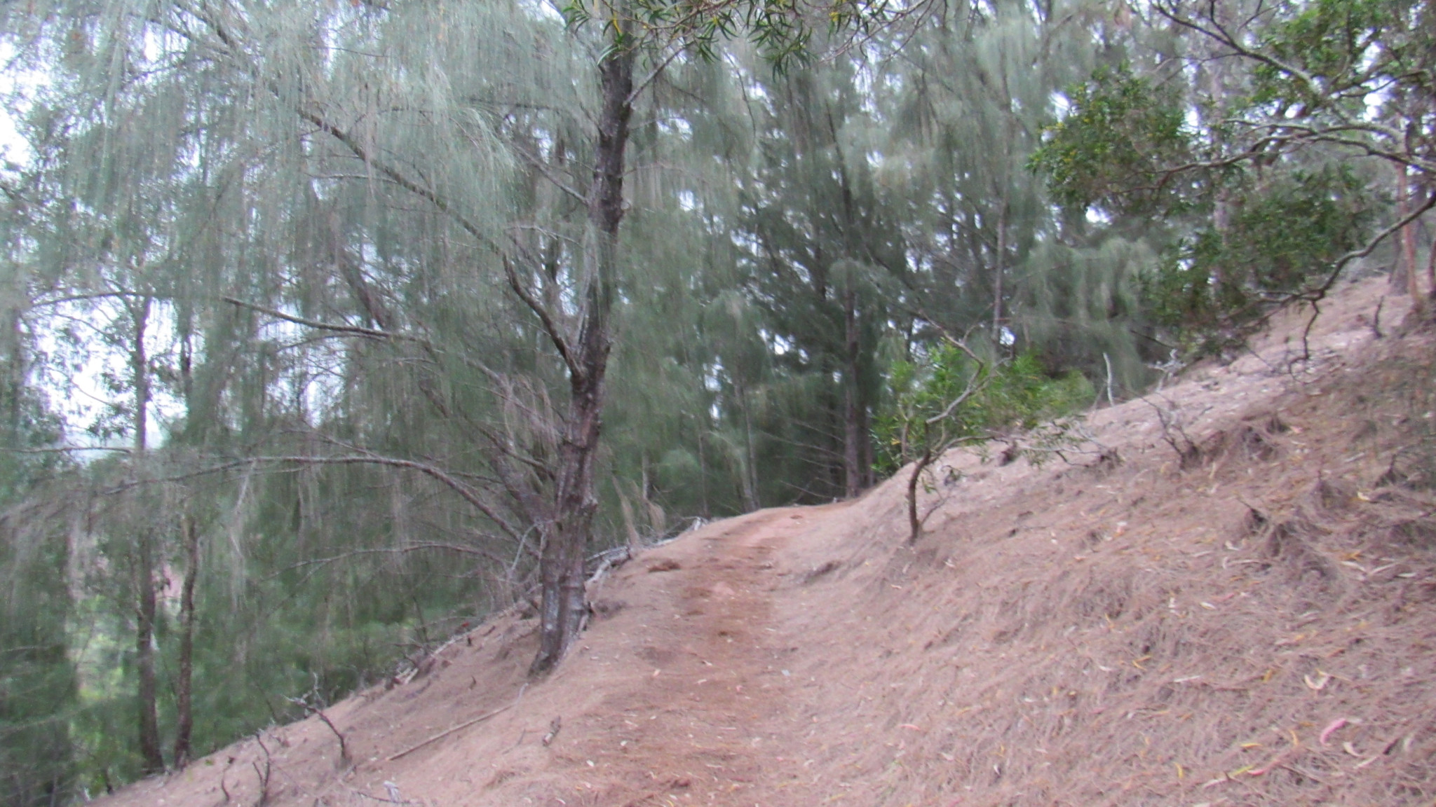
At 3.1 miles, you’ll cross a dirt road and quickly come upon a junction for a side loop that is not overgrown. This is the Pine Loop, a brief diversion that travels through an impressive grove of non-native Cook Island Pines. The pines were planted long ago, and they have since naturalized to the environment to form a dense forest.

Although the Mahana Ridge Trail continues on beyond this point, it becomes gradually more and more overgrown due to lack of use. If you want to continue, you’ll encounter the Sugi Pine Loop (a planted grove of Japanese cedars), Pu’u Kaeo, and finally the trailhead with the Maunalei Arboretum. Remember that no shuttle will bring you back down the hill, and you’ll have to re-trace every step you took on the way up. The Pine Loop is therefore a good spot to turn back.
Tags: D.T. Fleming Beach, Kapalua Resort Trails, Kapalua Village, Mahana Ridge, Pine Loop, Pineapple Loop