The vast, corrugated region known as the Carrizo Badlands comprises a significant portion of the southern half of Anza-Borrego Desert State Park. This fascinating wonderland displays the geologic history of tens of millions of years in the form of layers of sedimentary rock sliced and diced by fault action and carved and smoothed by erosion. This bewildering landscape has a longstanding reputation for being a major navigational challenge, but hikers adept at desert navigation can work their way north through June Wash to Diablo benchmark, also informally known as Diablo Peak, to get a bird’s eye view of this beautifully austere region.

A few standard warnings come with this sort of desert hiking. First and foremost, any hiker attempting this route should possess a reasonable amount of confidence in their ability to navigate by map and compass. While there is a GPS track available for reference, relying on a GPS track and the necessary electronics means that a failure in your equipment could land you in some very serious trouble – particularly for an area with a reputation for being hot, dry, and confusing.

Additionally, you will want to avoid this long, exposed, and arid hike if temperatures are forecast to rise above 80-85 degrees. Even if it’s a cool day, come prepared with at least a gallon of water; sun protection in the form of loose, light-fitting clothes, a wide-brimmed hat, and sunscreen; and abundant nutrition to keep you going.

Finally, as with most of Anza-Borrego Desert State Park, there are no trails here. You will be following a wash for most of the way before tracing the course of a short canyon and then working your way across open desert to reach the summit of Diablo Peak. If you are new to this type of hiking, or if this type of hiking intimidates you, enjoy this article for its nature porn aspect until you can gain some confidence and skill in cross-country desert navigation by taking one of the Sierra Club’s assorted Wilderness Basics Courses.
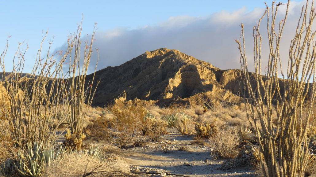
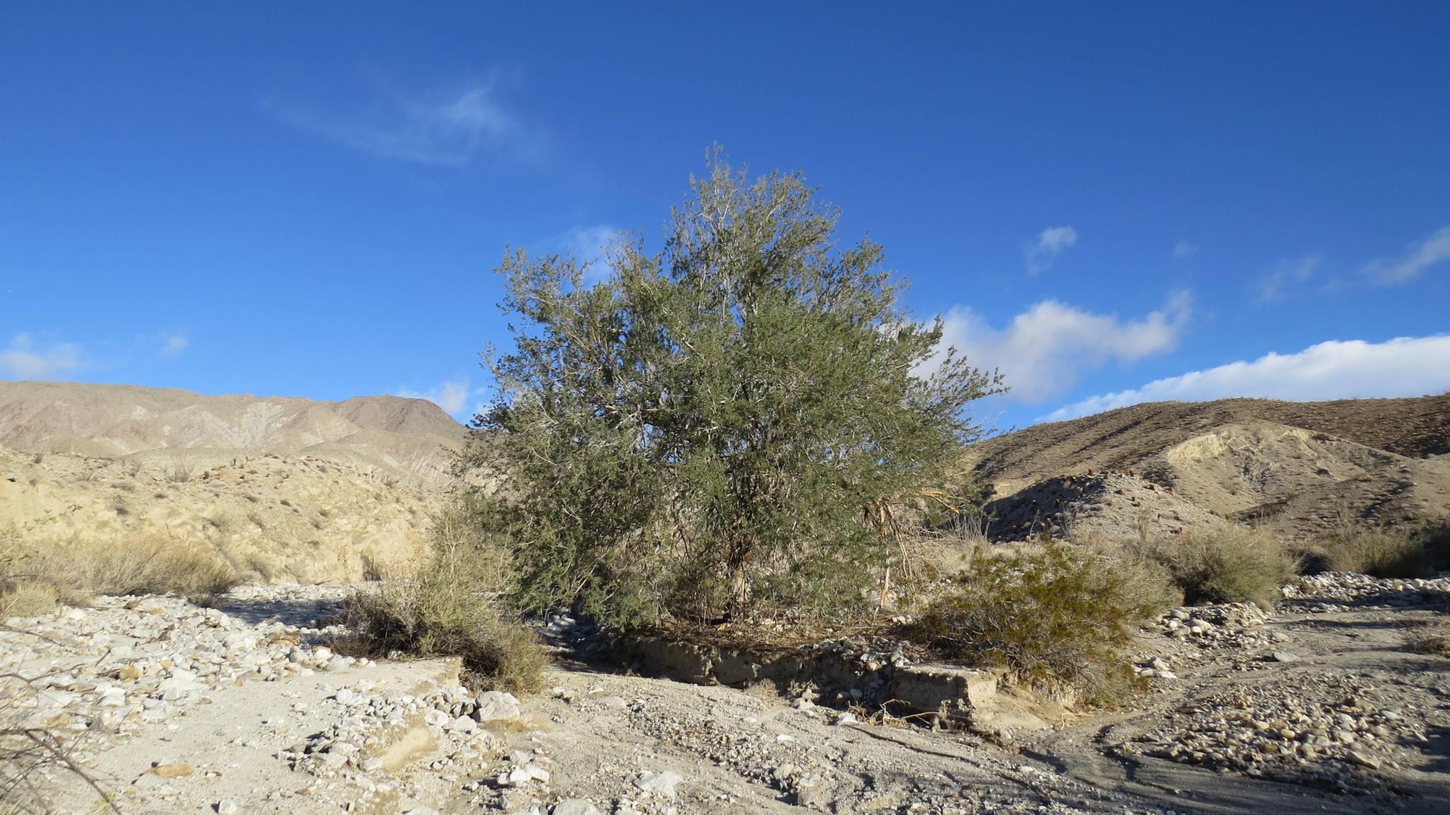
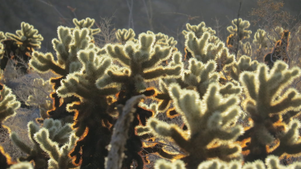
The start point on this hike is a somewhat arbitrary point largely determined by how far your vehicle can get up the soft, sandy road. This road may be difficult for 2WD highway vehicles to navigate, so if you are driving one of those, be prepared to park further down the road and follow the road to the official starting point. For reference, the starting point marked on the GPS track is the point where the dirt road breaks away from June Wash. At this point, begin walking north through the sandy wash past an assortment of low desert plants, including desert lavander, cholla cactus, catclaw, the occasional ironwood tree, creosote, and many more. March and April bring wildflowers to this area, which graces the landscape with a brilliant palette of color.

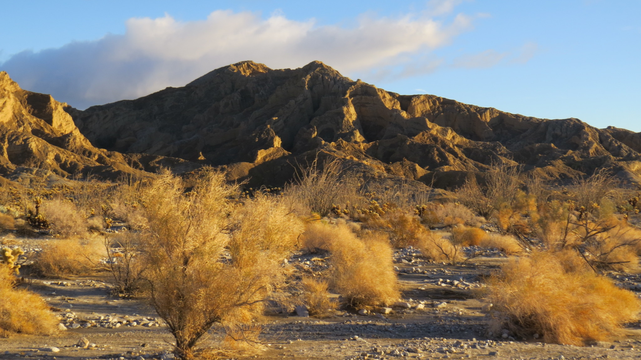
After 0.4 mile, keep to the left to avoid wandering off in a tributary wash that joins from the northeast. The wide spacious walls of the wash remain relatively far off, but some beautifully eroded buttes and ridges hint at the interesting geology to come. The wash narrows somewhat at 1.0 mile, and at a short 0.2 mile beyond the narrowing, you will need to again choose the left branch of the wash where it splits in order to remain on track.

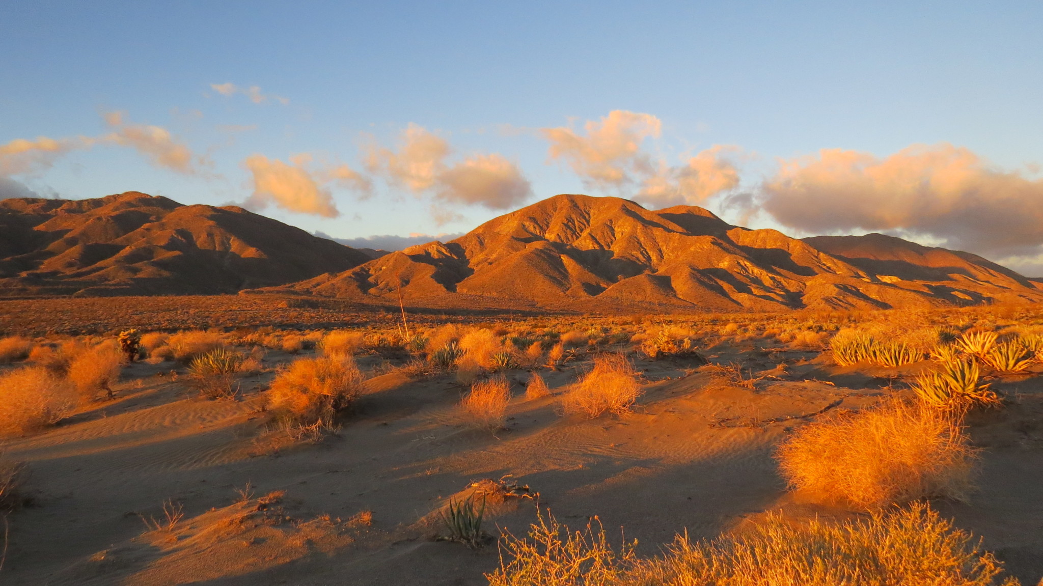
From this split, you will enjoy a nearly 2 mile stretch of pleasant, gently ascending walking through the twisting, braided wash hemmed in on both sides by beautifully eroded sandstone and gardens of cacti and ocotillo. Another more obvious point where the wash splits at 3 miles will have you choosing the wider right branch this time, which you will follow for another 0.4 mile to a point where you will depart from June Wash to follow a sinuous tributary branching away on the right to head roughly north/northeast.

This narrow, rocky wash climbs sharply as it approaches a saddle separating the June Wash watershed from the Sandstone Canyon watershed just to the east. This saddle, located at 3.7 miles from the start, is your goal. Once upon the saddle, you will have the additional option (time and energy permitting) to cross over and begin descending into Sandstone Canyon. This marvelous canyon composed of, you guessed it, sandstone, is one of the most beautiful sedimentary canyons in the park and merits consideration and exploration on its own. Combined with June Wash, it is one of the better long distance/all day routes in the sourthern half of the park. But I digress.

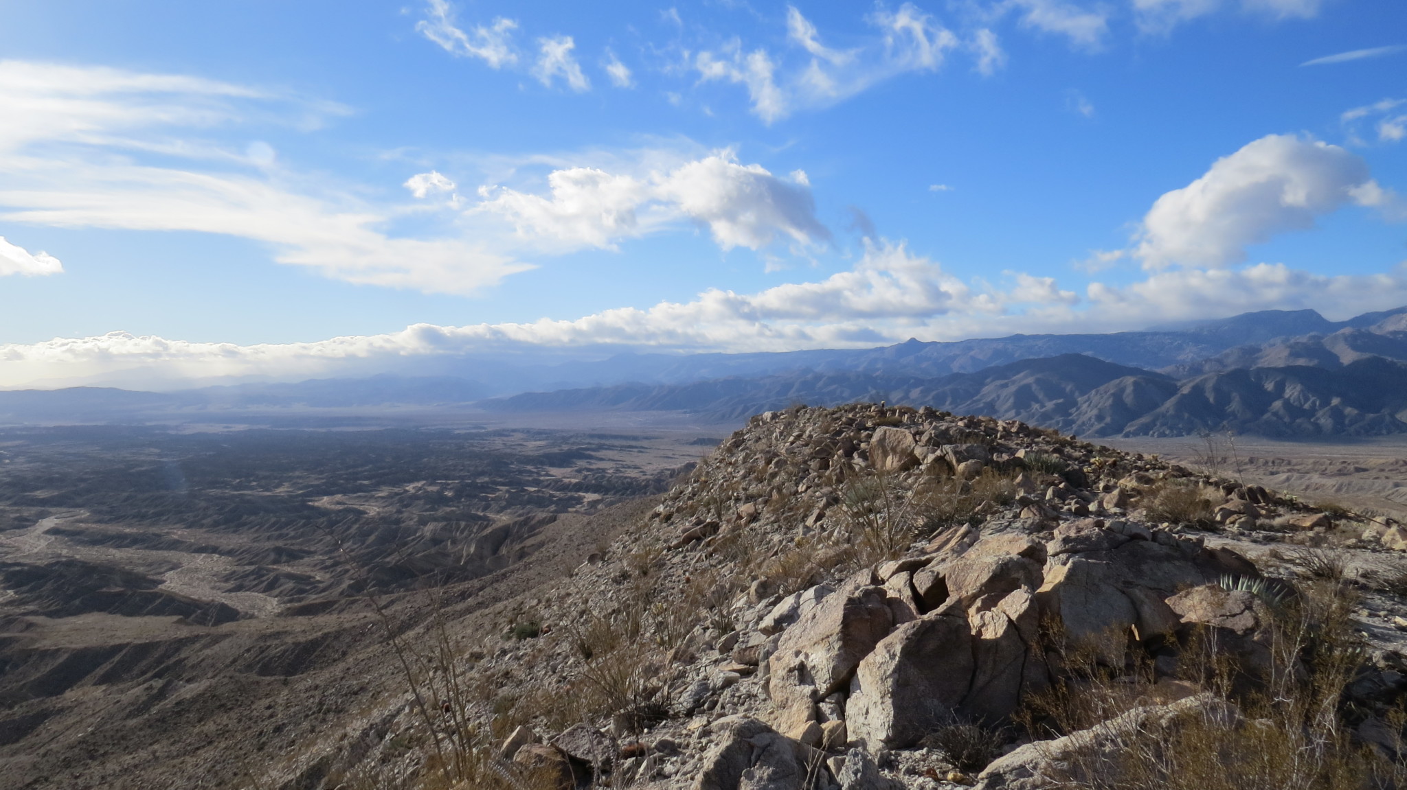
At the saddle, head due southeast up the steep slope populated by a variety of anger bushes. The grade eases somewhat at a point where you will want to take a more easterly turn as you approach Diablo benchmark. At just over 4.1 miles, you will find yourself standing upon the rocky summit. From here, the vista before you includes not only the June Wash and Sandstone Canyon watersheds, but also the vast, convoluted landscape stretching east toward the Vallecito and Fish Creek Mountains and south toward the Coyote Mountain. This bird’s eye vantage emphasizes just how much of a maze this landscape is.

It’s also worth noting that Diablo Peak divides not only the June and Sandstone watersheds but also the Arroyo Tapiado watershed. This makes Diablo Peak a “triple divide” peak, which also emphasizes just how much landscape is visible from the summit. Also visible is the rugged wall of receding mountains that melt into the desert floor from McCain Valley and the Laguna Escarpment. Prominent among them is Sombrero Peak, a conical nob that rises up from the Bow Willow Canyon area.
When you have fully absorbed the magnificent desert vistas, retrace your steps back through June Wash toward your car.
Tags: Agua Caliente County Park, Anza-Borrego Desert State Park, Carrizo Badlands, Diablo Peak, Great Overland State Road, June Wash, Sandstone Canyon