Perched on the southeastern flank of Cuyamaca Peak, the gently-sloping hillsides comprising West Mesa offer a pleasing mixture of grasslands tapering off to impressive views of rugged peaks, recovering chaparral and woodland vegetation, and abundant wildlife. This natural feature is not a mesa in the traditional sense, although the relatively flat hillside of West Mesa is bounded on all sides by relatively steep slopes.
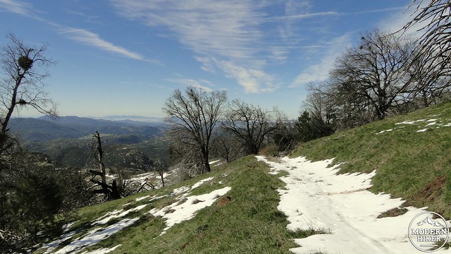 Transitional seasons on this moderate route bring a number of pleasing colors; springtime brings emerald fields, kaleidoscopic wildflowers, and the emerging pink leaves of black oaks. Autumn causes a subtle transition in the vegetation to a warm palette of golds, rusts, reds, creams, whites, and yellows. Occasional snowfalls blanket the hillsides in a shroud of white, although snow rarely lasts long at this elevation. The warm months of summer are generally the least appealing, although the occasional summer thunderstorm may add a dash of excitement.
 From the parking area, cross Highway 79 and follow West Mesa Road past a gate to ascend through recovering pine and oak woodlands. At .6 mile, turn right onto Fern Flat Fire Road to head northwest through more recovering forest and woodland. At 1.5 miles, turn left onto the West Mesa Trail. Once you step onto this single-track, you will have entered the largest state wilderness in the park. Mountain bikes are not allowed beyond this point.
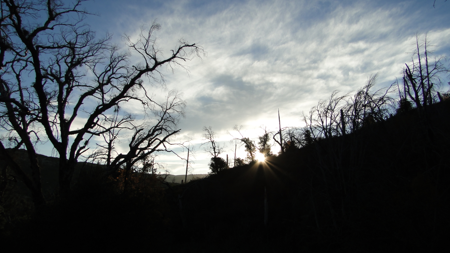
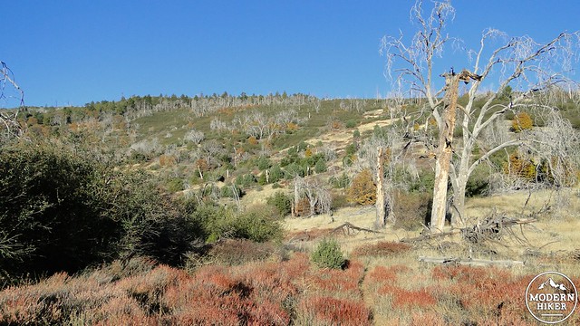 The West Mesa Trail takes one more left turn as it merges with the California Riding and Hiking Trail. This section of the trail travels through an untidy landscape of dead or downed trees. The pine trees here are making a slow recovery, but the oaks are having more success. Seemingly dead black and canyon live oaks show re-sprouting vegetation emerging from the surviving root systems. After a few decades the dead portions of the tree will rot away, while the emerging new growth will continue to grow into a “new” tree.
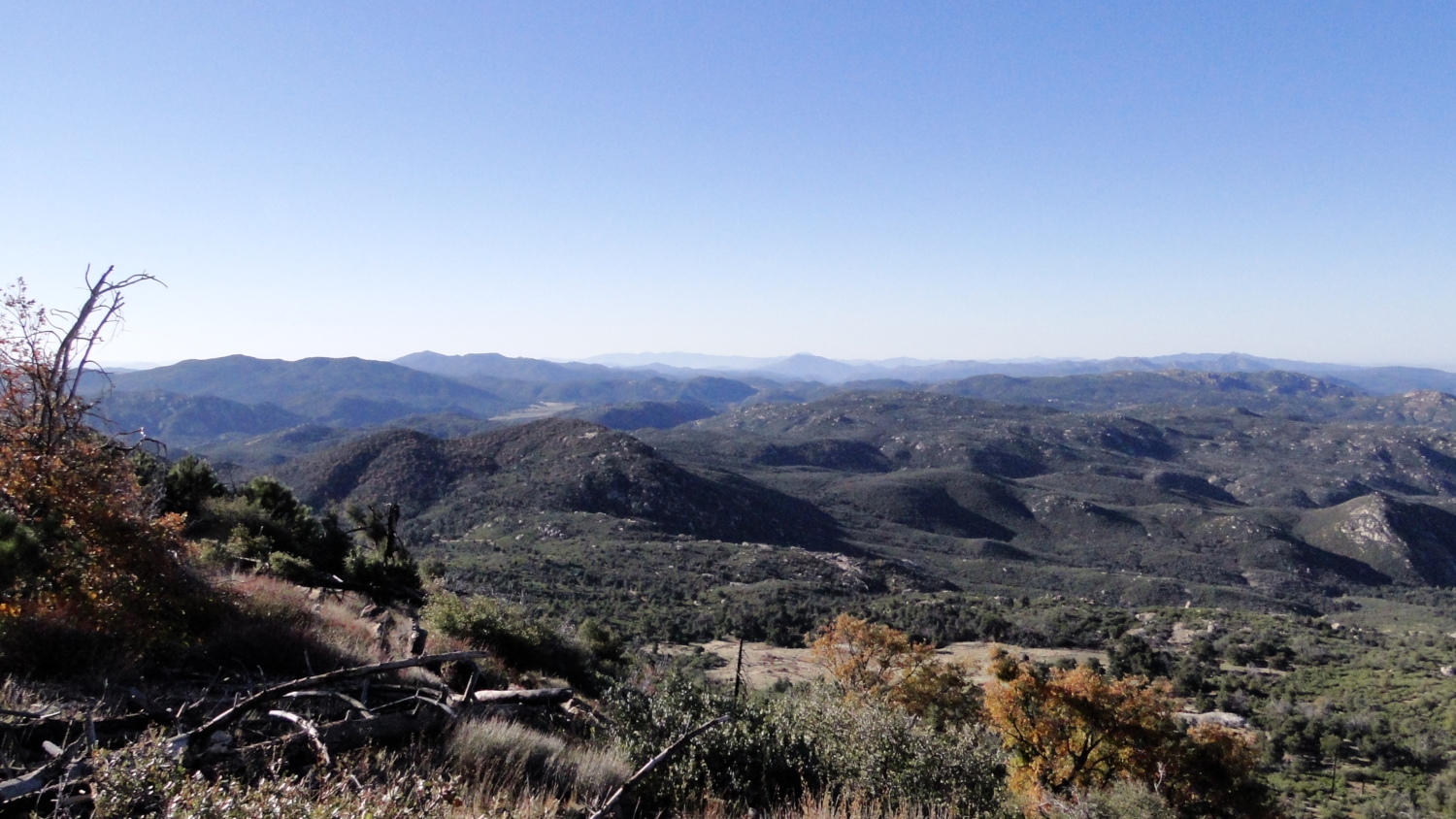
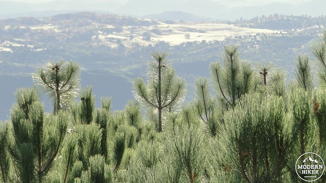
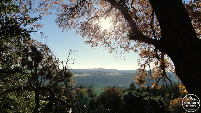 At 2.4 miles, the trail levels off around the 5,200’ contour before passing in and out of some small, shaded ravines. The trail also passes through a patch of unburned forest that offers a glimpse of what the slopes of Cuyamaca Peak once looked like. Views to the east reveal the vast plains of East Mesa shimmering in the distance across Green Valley, while thickets of Coulter pine saplings suggest at least a partial recovery of the Cuyamaca forest.
 Continuing on, you’ll pass the Burnt Pine Trail at 2.8 miles, which offers a possible route to the summit of Cuyamaca Peak. Travel on the Burnt Pine Trail is tedious, as there are numerous sections through heavily overgrown vegetation.
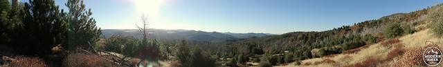
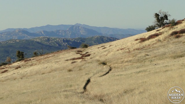
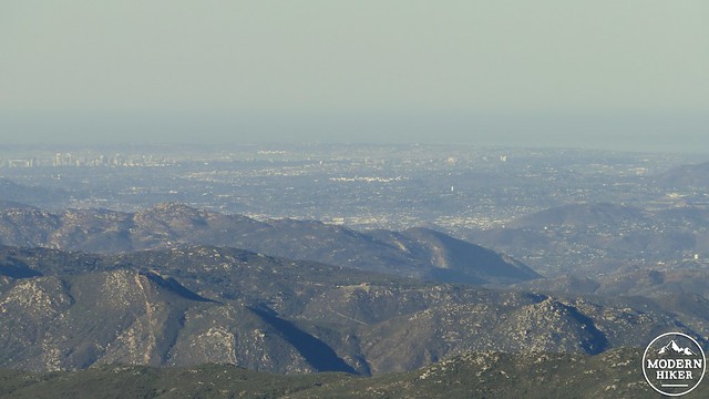
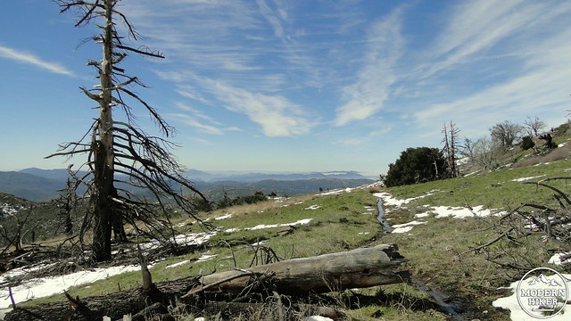 Beyond Burnt Pine, the West Mesa Trail enters its most scenic and impressive stretch of scenery. Directly in front of you, looking south, lies a sloping, grassy plain that stretches infinity-pool-style toward a chain of rugged peaks. Any spot along this brief segment is fine for a stopping point to admire the view, but if you’re willing to do a bit of off-trail scrambling, you can climb a small rise on the right to obtain a view west over coastal San Diego county.
 Once you reach the Monument Trail, turn left to begin a gentle descent toward the Airplane Monument. Backpacking enthusiasts can turn this into an overnight trip by turning right onto the Arroyo Seco Trail, which drops into the Arroyo Seco backcountry campground. Hikers wishing to stay overnight must register for a campsite at the park office just south of Paso Picacho Campground. This will also alter your parking area, as the West Mesa Trailhead is day-use only. Backpackers can park at Green Valley Campground and follow the West Side Trail north along Highway 79 to the junction with West Mesa Fire Road to commence this route.
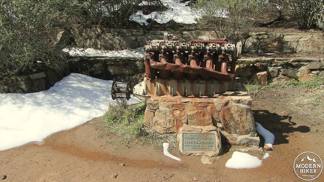
 You’ll come to a junction with another branch of the West Mesa Trail. Turn left here, and keep an eye out for a spur trail leading off on your left. This spur will take you to a curious monument: a 12-cylinder airplane engine mounted upon a stone block. The monument memorializes two pilots who crashed on this spot in 1922.
 Continue on the spur past the monument to rejoin the West Mesa Trail. Once back on the West Mesa Trail, continue traveling northeast to rejoin West Mesa Fire Road. Just before this junction, you’ll pass Japacha Spring on your right. Beyond the spring, it’s a short stretch of easy downhill hiking back to Highway 79, which you will re-cross to return to your car.
Tags: Airplane Monument, Arroyo Seco Campground, cuyamaca peak, cuyamaca rancho state park, Green Valley Campground, Japacha Peak, Japacha Spring, West Mesa