Distance (round-trip)
6.4 mi
Time
3 hrs
Elevation Gain
1225 ft
Season
Summer
Fall
Weather
–
6.4 mi
3 hrs
1225 ft
Summer
Fall
–
A 6+ mile, moderate loop on and off-trail in the middle High San Gabriels. While low on sweeping vistas, this hike features large stands of incense cedar, boulder formations typical of the area, ski slopes, and a great sense of remoteness.
Waterman Mountain is a large, broad, forested peak that sits just on the northern border of the San Gabriel Wilderness. It’s deep in the Angeles Forest and can be approached from several directions — a nearly 14-mile leg-buster from Three Points, a quick 4+ mile in-and-out, or this meandering 6 mile loop which, in my opinion, offers the best balance for a moderate day-hike. Plus, you won’t have to repeat any scenery.
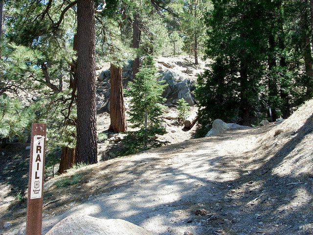
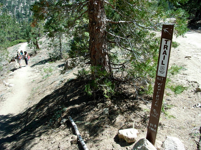
The trailhead lies just beyond the Waterman ski lift, just under 34 miles from the 210. Park at a small lot on the east side of the road at Mile 58.02, cross the road, and look for a large, tattered trail sign.
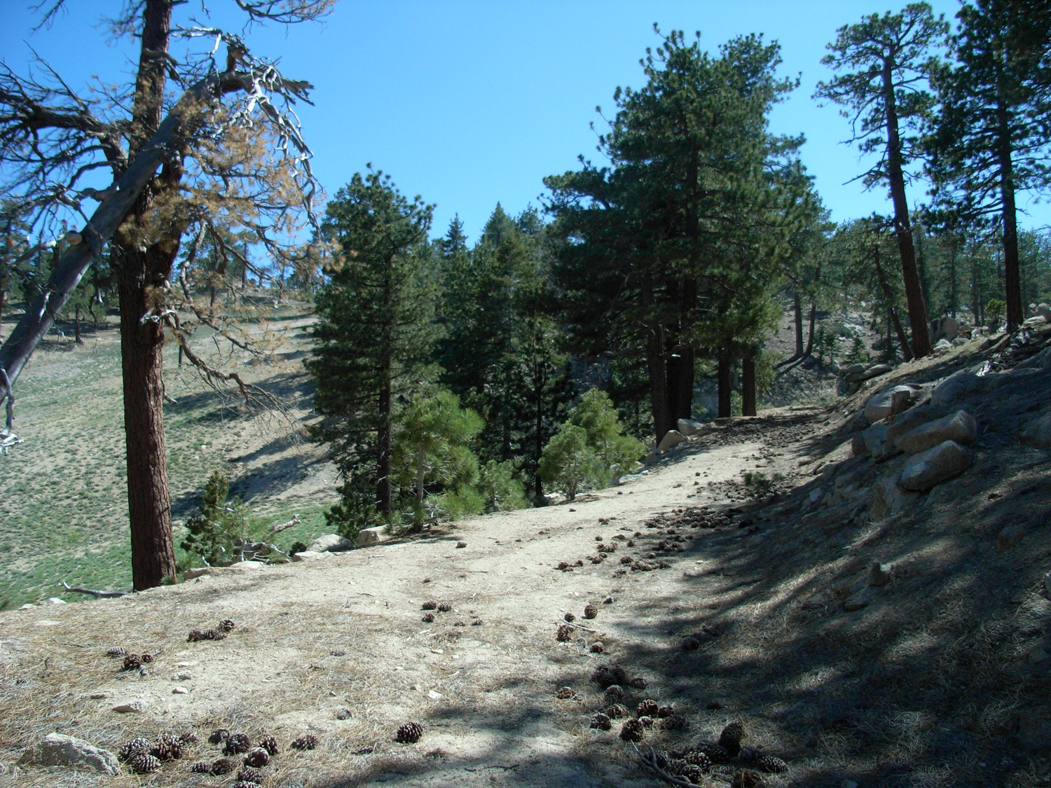
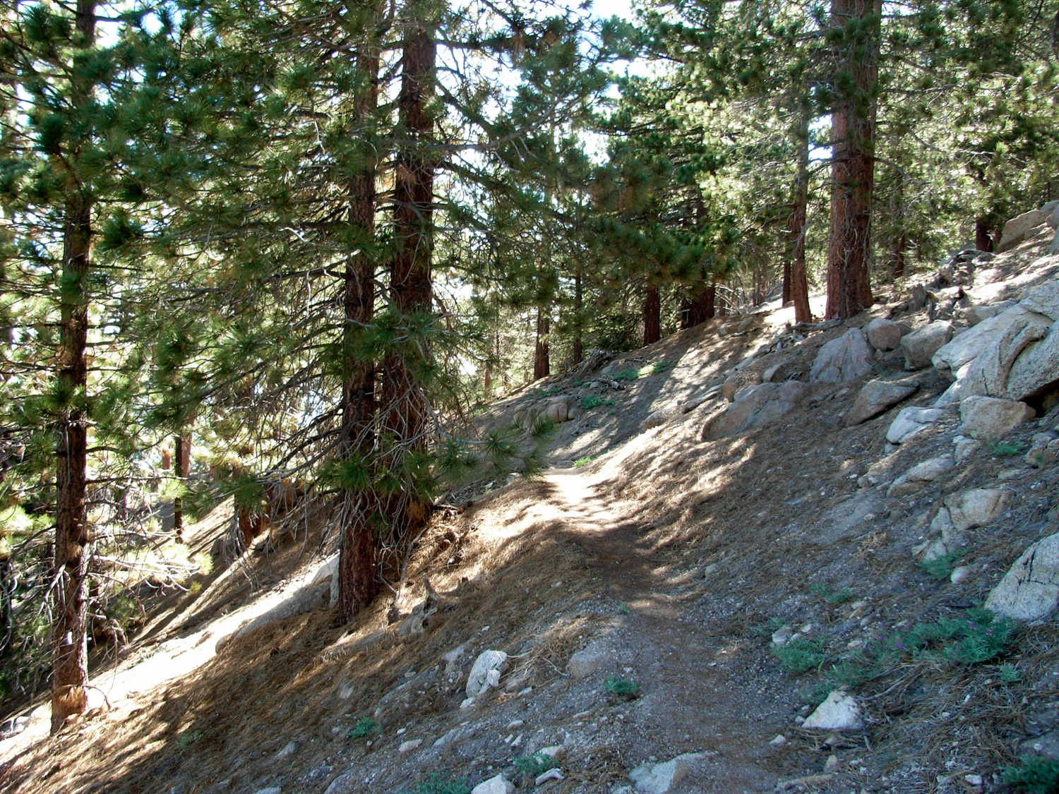
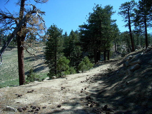
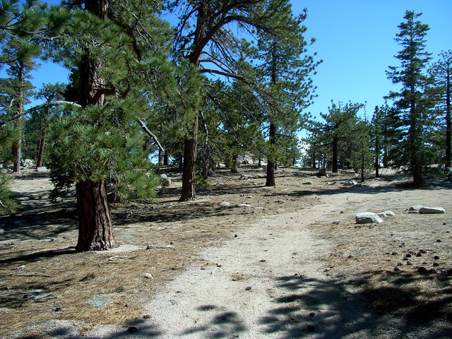
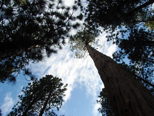
Instead of thinking about how you’d probably rather be on a single track trail, focus on the amazing, tall incense cedars and pines that flank your path.
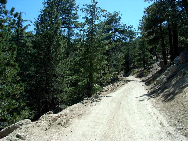
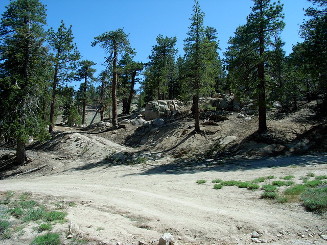
Continue on the fire road for about two miles. There are multiple junctions and spur roads, and they can get confusing if you’re not sure of where you’re going. A good rule of thumb is to always stick to the well-maintained looking road. The only time where you might be at a loss is at a fork at about 1.7 miles:
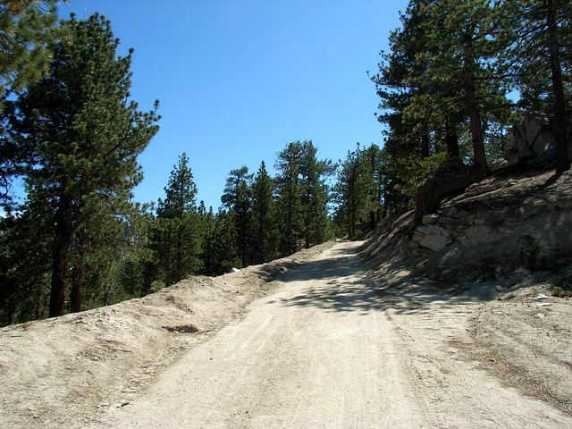
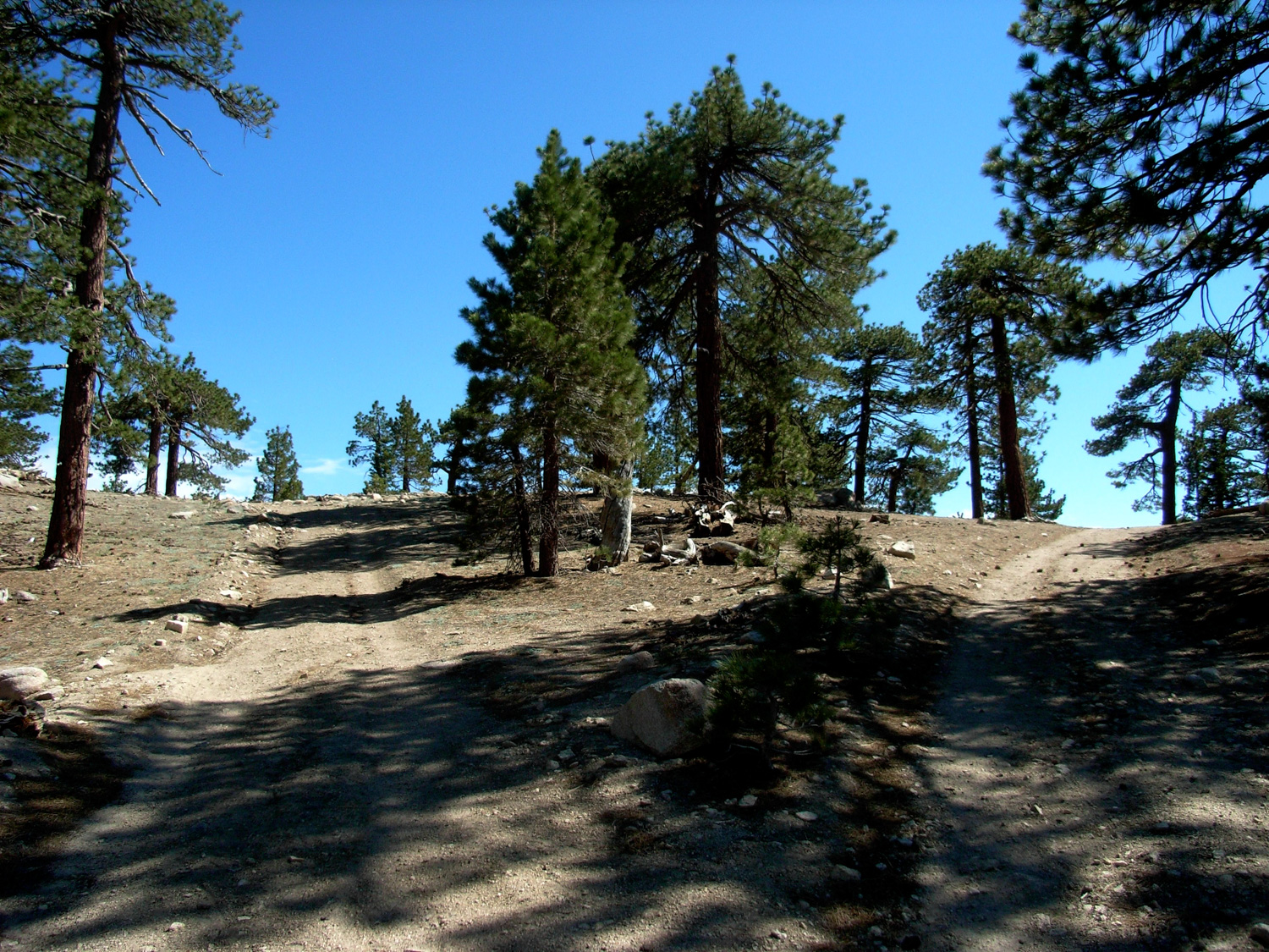
At 2 miles, you will reach a multiple-trail and road junction, and have a few options. If you’d like, you can stick to the right and continue on the jeep road as it winds past some trailers and into the ski resort proper.
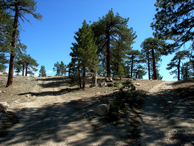
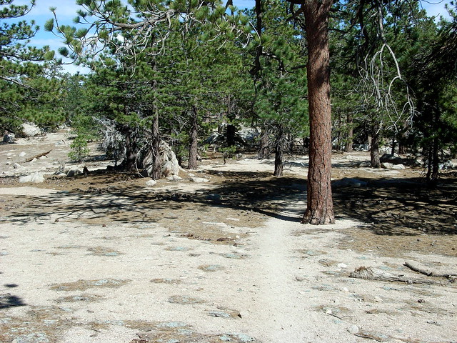
Here, the path gets more and more indistinct and tricky to follow. Just look for a faint footpath and continue in a southerly direction.
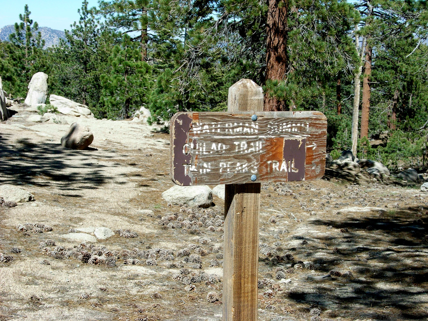
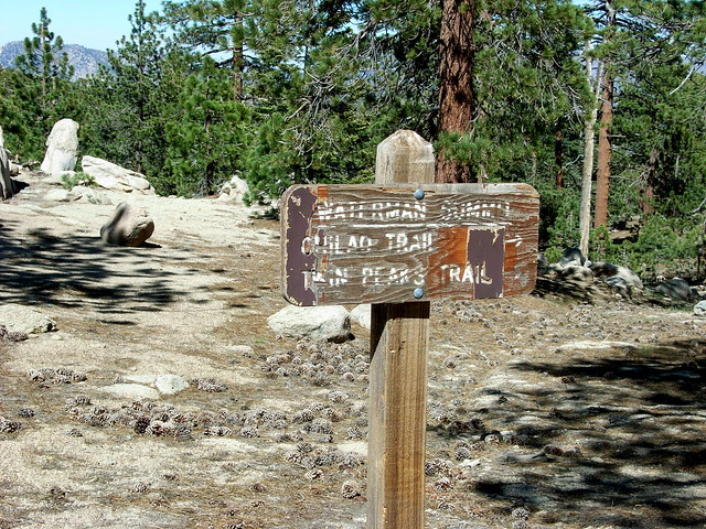
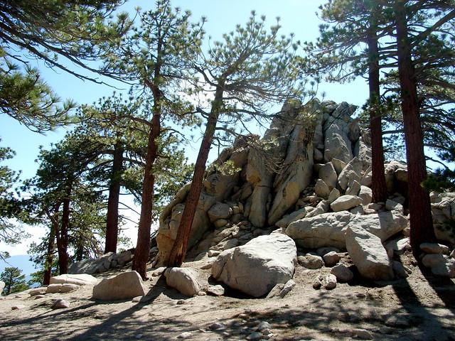
You’ll see a Wilderness Boundary marker on your right, and that means you’re in the right place. The trail makes a bend toward the east here, and follows the ridge of Waterman Mountain just north of the high points. You will see a battered sign (you should be used to it by now), telling you you’re at the Waterman Summit, and pointing you toward Twin Peaks and the Chilao Trail.
First, you’re not standing at the summit. Second, the high point and large pile of boulders you can see from here is not the summit, either. And third, there’s no clear path to the actual summit, either.
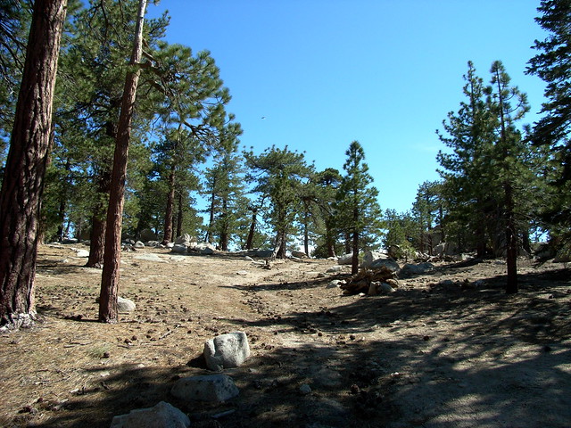
To find the actual summit, turn south and walk toward the ridge. When you reach the drop off, follow the ridge east until you see the next bit of high ground, elevation 8038.
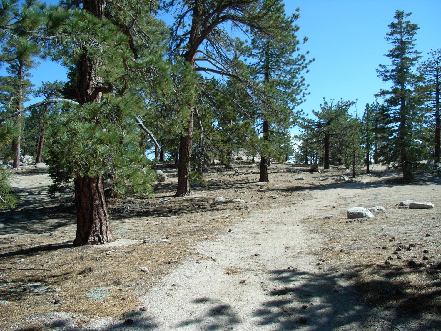
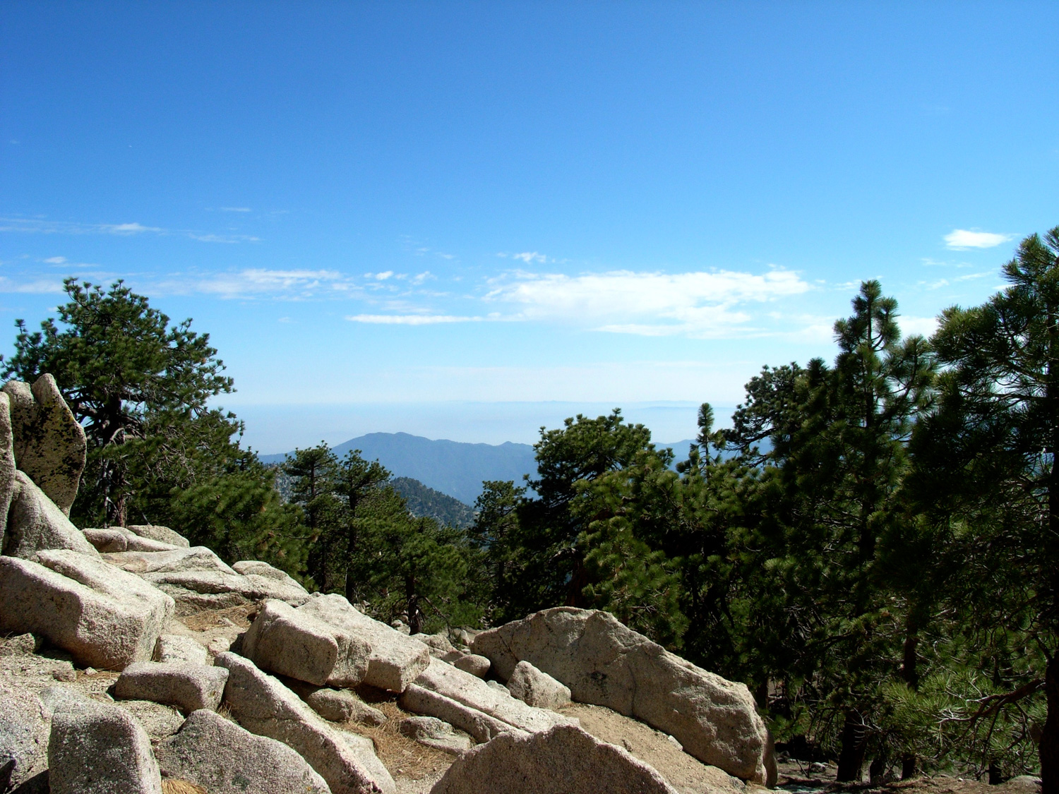
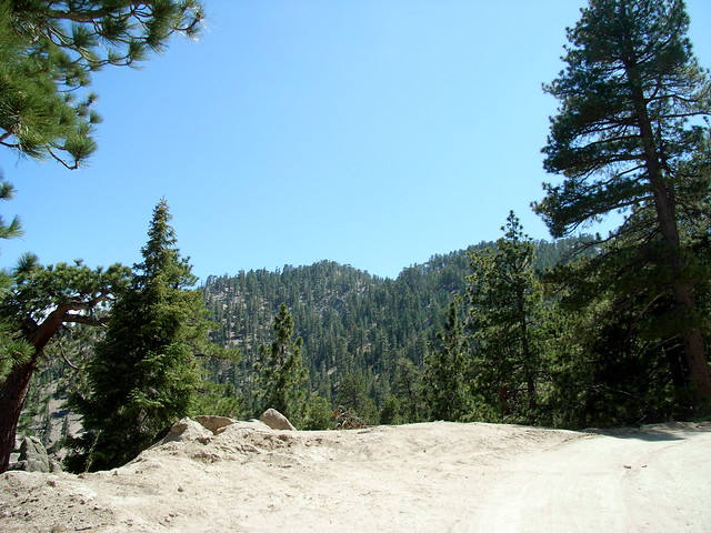
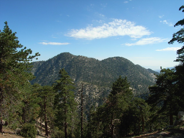
This hike is definitely one of those “it’s the journey, not the destination” routes. The summit of Waterman is heavily forested and doesn’t really offer any distinctive views. To get anything resembling a postcard scene, you’ll have to continue to a small promontory just south of the summit.
Instead, turn back and rejoin the trail, heading east toward Twin Peaks and Chilao. Keep moving so the flies don’t get you, and breathe through your nose so they don’t become airborne protein supplements. The side benefit of that is that you also get to smell the incredible cedars in the area. It’s one of my favorite things about the entire forest.
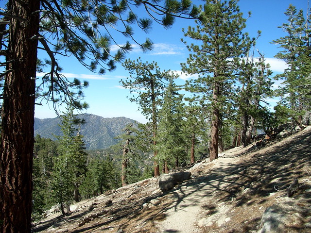
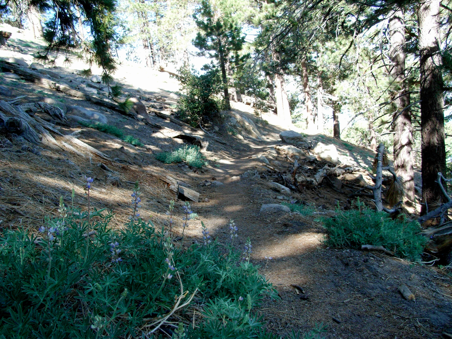
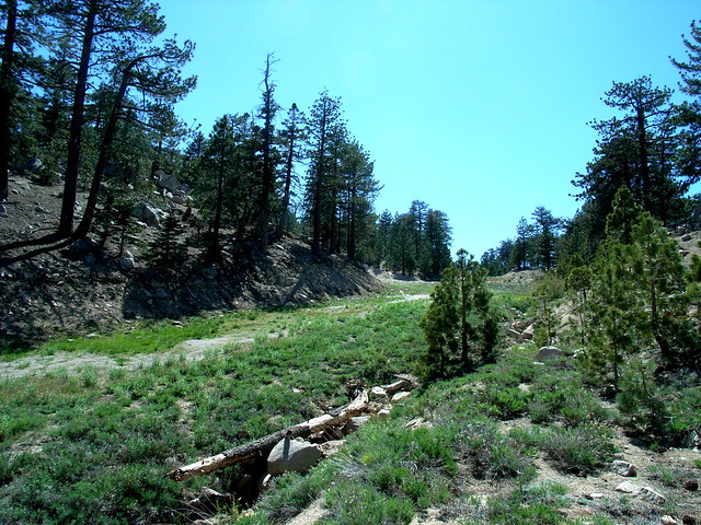
The trail back to the camp gives the occasional view of Twin Peaks, and crosses three seasonal streams before catching back up with the trailhead. In the late spring, it’s lined with lupines and other wildflowers — but snow sticks around here for a long time, too.
Fire roads and well marked trail for most of the hike, although there is a section near the western summit that is very faint. Some of the fire road and ski trail junctions may be confusing without a map.
Seasonal Buckhorn Campground is the closest place to camp. It can be extremely popular during the summer weekends, and is first-come, first-served.
From the 210 in La Canada Flintridge, take the Angeles Crest Highway 33.8 miles to marker 58.02. Park at the turnoff at the side of the road and display your Adventure Pass. There are two entrances to the Waterman Trail - one directly across the 2 near a Wilderness signpost and the other just a bit further south along the 2 at a fire road.
7 Comments
Hiked this (2 humans/1 canine) on June 7th. Perfect weather. Have to say all were enthused. This is a lovely hike that's not too strenuous but still gives you the feeling of having accomplished something at a bit of altitude. We both found the open nature of the trail beautiful. Lots of caramel pines to smell, lots of lizards to chase. The sign halfway, e.g. at the more or less top of Waterman, indicates 3.5 miles in either direction. My companion's Fitbit also registered 7.4 miles on the entire day, with not that much more walking involved.
Final tally: Lizards - 9,874. Dog - 0
I've done this loop a few times and just wanted to add a word of encouragement to folks who may be feeling meh about doing it. I actually think the views are pretty great, and I haven't had any bug problems at all. I always do the loop clockwise, with the single track trail first. Maybe that makes the difference.
Thanks, Casey, for your fantastic blog. Such a resource for us all.
Those trails in the middle of the San Gabriels already feel epic and remote - add a little bit of snow to the mix and you've got yourself a killer adventure.
Agree with this! I went today and the snow takes this hike to another level. Just gorgeous.
For people who are a bit underwhelmed by this hike. Grab some snow shoes and do it in the winter. It is amazing. The manicured roads make it great for beginners and the trail is great for the more intermediate. Did it a few weeks ago and had a blast. Did it again yesterday and slogged through slush due to recent warm weather. Still beautiful though, and secluded on a sunday afternoon.
My wife and I did this hike on the 14th. There was nothing spectacular about the hike, yet for some odd reason we loved it. I think the remoteness factor is huge. Also there is a nice elevation gain is some sections that offers up a moderate workout. The trail is a little confusing in sections and the bugs are a pain in the A$$.
I think we might have crossed paths on the trail. Small world.
Great Blog. Keep it up.
With recent wildfire damage and ongoing waves of COVID-19 infections and restrictions, National Forest, National Park, and other public land closures, restrictions, or social distancing guidelines may be in-effect.
If infection rates are on the rise, please do your best to remain local for your hikes. If you do travel, please be mindful of small gateway communities and avoid as much interaction as you can. Also remember to be extra prepared with supplies so you don't have to stop somewhere outside your local community for gas, food, or anything else.
Please be sure to contact the local land management agency BEFORE you head out, as these conditions are likely to change without enough notice for us to fully stay on top of them. Thanks, and stay safe!
Click here to read the current CDC guidelines for traveling during the COVID-19 pandemic.