

Torrey Pines Reserve Extension is an addendum to the more famous and more heavily visited main reserve. This little pocket of wilderness is often overlooked, although the peace and quiet adds considerable charm to the beautiful habitat. This diminutive parcel of land features mature trees, some of which are enormous, ocean views, and a sense of solitude nearly impossible to find on most of San Diego’s coastal trails.
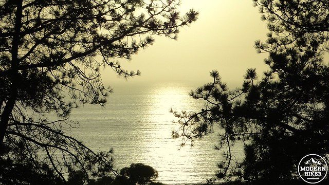
From the Ridge Trail
After the main reserve was officially established in 1959, another 11 years would elapse before the establishment of the the extension. The sandstone bluffs on which the main reserve stands managed to remain undeveloped, aside from the golf course, due to widespread conservation efforts. Sadly, this was not true of the more heavily-wooded northern bluff. After the establishment of the main reserve, conservation groups (Sierra Club, Torrey Pines Association, Citizens Coordinate) turned their attention to the northern bluff, which had lost a significant amount of Torrey pine habitat to development. The tiny 197 acre parcel set aside saved 1,500 trees either from destruction or ornamental use in landscaping for high-value homes. While 1,500 trees sounds like a whisper in the forest, bear in mind that there are an estimated 3,000 Torrey pines remaining in the natural habitats of San Diego (there are more on Santa Rosa Island in Channel Islands National Park). The extension, while being much smaller than the main reserve, holds half of the trees.
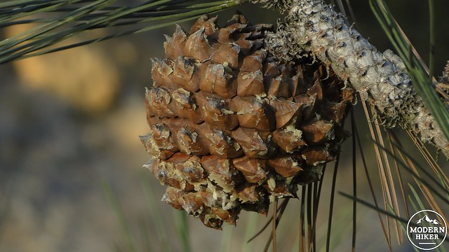
Torrey pine cone
This write up will guide you through the two main trails into the extension. Start by parking your car in the cul-de-sac at the end of Del Mar Scenic Drive. This trail begins a moderate climb through dense coastal scrub, richly aromatic with scents of three varieties of sage, as well as the sweetly spicy coastal sagebrush. Occasional Torrey pines punctuate the low scrubs before the trail arrives at junction that climbs away on the left. Turn left here.
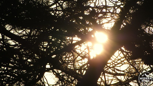
Sun setting through the branches
After passing beneath a massive Torrey pine, the trail ascends to the top of a ridge. Views open up south and west across the Penasquitos Lagoon to the main reserve on a bluff to the south. A junction on the left with follow the ridge south to a viewpoint with a bench tucked beneath a Torrey Pine. A second junction on the right will lead north on the DAR Trail. Continue straight through these junctions to follow a spur trail through a grove of Torrey pines decimated by drought and bark beetles that comes to an abrupt end after a small bridge. A handful of small side canyons offer some geological interest, and a bench allows you to sit in silent contemplation.
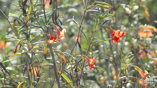
Monkeyflower
After you’ve backtracked to DAR Trail junction, turn left and continue along the northern extension of the ridge through more Torrey pine and sage-scrub habitat. Countless wildflowers blossom here in spring, most conspicuous of which is the yellow sea dahlia. This trail descents to culminate at the main trail that runs through the heart of the extension. A left turn leads to a neighborhood; turn right and begin descending back to the cul-de-sac.
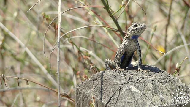
Fencepost lizard
Just before you return to the cul-de-sac, look for the Margaret Fleming Trail on your left, and turn left to join it. For those curious, Margaret Fleming is the daughter of Guy Fleming, who did for these trees what John Muir did for the Sierras when he advocated for the creation of Torrey Pines State Natural Reserve. Margaret Fleming worked hard to establish the extension, leading to her name being adopted for one of the trails. This trail climbs through more open Torrey pine woodland dominated by sage and lemonade berry before reaching an eroded staircase that leads to the reserve’s eastern ridge. As you reach the top of the ridge, note the transition from soft, beige sandstone to hard, red sandstone. This is the junction from the Torrey Sandstone Formation to the Linda Vista Formation, the latter of which caps the coastal bluffs with a hard, iron-rich layer.
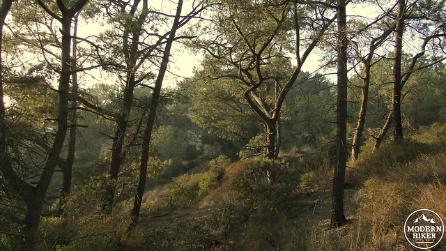
Heavily wooded D.A.R. Trail
Continue north, and then northeast, and then east through a scruffy stubble of chamise. This trail meets a junction with a trail that runs south toward a viewpoint overlooking the Penasquitos Lagoon. Follow it south through more woodland to its terminus, from which point views south, west, and east across Sorrento Valley and La Jolla juxtapose against beautifully eroded formations below.
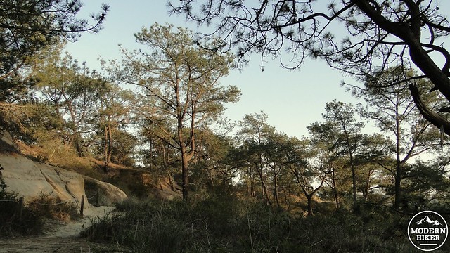
D.A.R. Trail
This viewpoint marks the end of the journey, and by this point you will have explored the bulk of the reserve’s trails. Backtrack to the Margaret Fleming Trail and follow it all the way back to the trailhead.
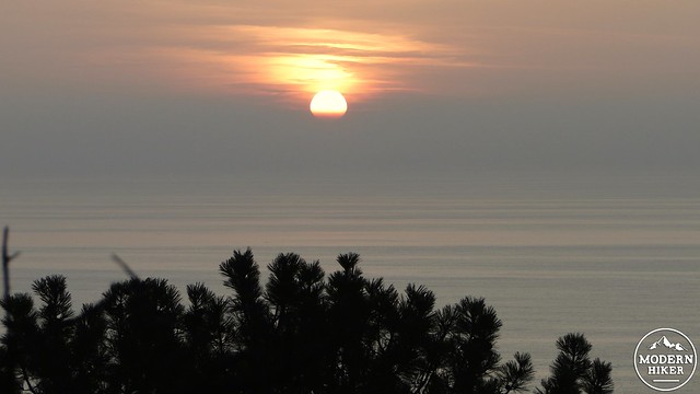
Sun setting from the lookout
Tags: coastal sage-scrub, DAR Trail, Del Mar, La Jolla, Los Penasquitos Lagoon, Sorrento Valley, Torrey pines, Torrey pines reserve extension


