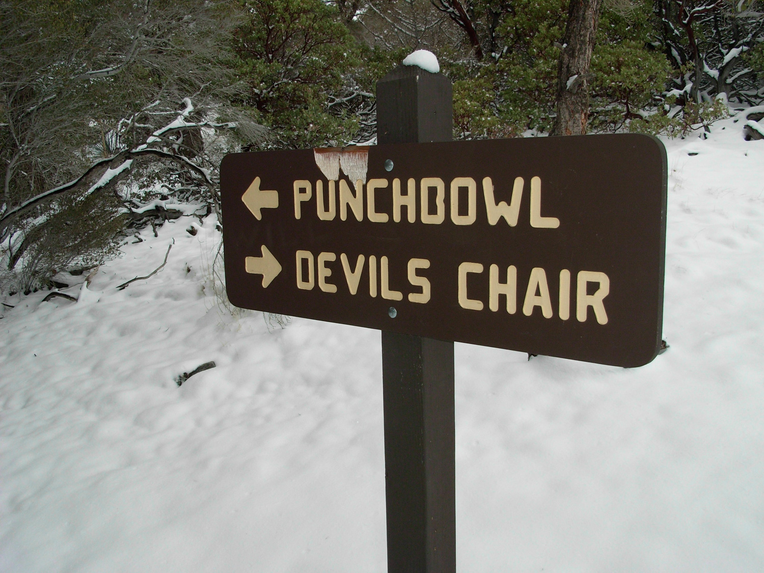
A moderate trek around one of the most breathtaking natural landmarks in the region. A hike to Devil’s Chair gives you panoramic views of what happens to the ground near one of the most active seismic zones in the world. With the right gear, this is a beautiful winter trek – especially after the Punchbowl and San Gabriels get a dusting of snow.
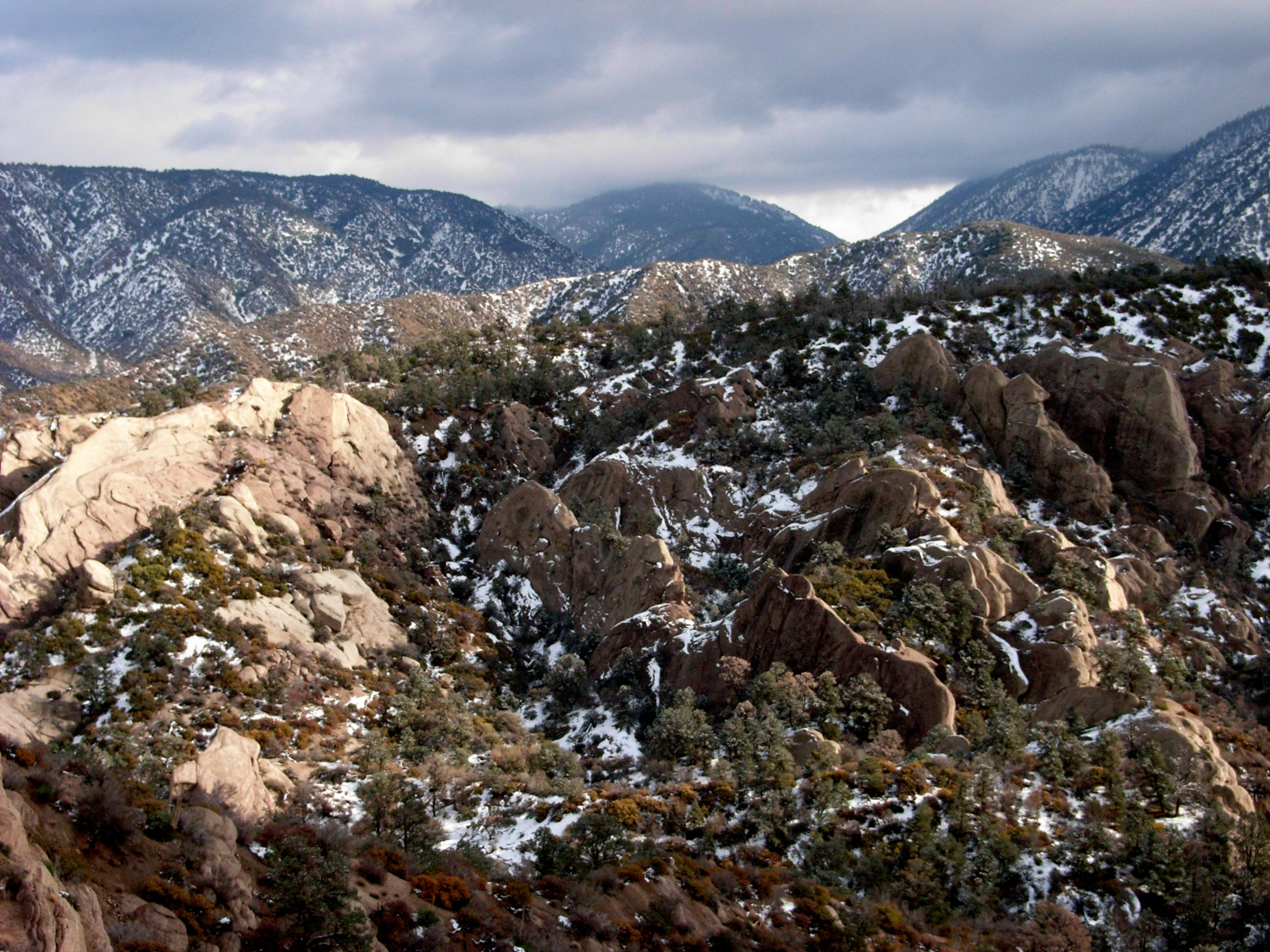
The Devil’s Punchbowl Natural Area is one of my favorite parks in the San Gabriels. Hidden on the northeastern range of the San Gabriels – far away from us city slickers – the otherwise flat high desert is slowly being ripped and bent into odd angles by the tearing of the San Andreas and Punchbowl Faults, with the resulting canyons further eroded by the wind and water from the 8000+ft peaks right to its south. I’ve never seen anything like it before, and every time I catch the first glimpse of the formation from the road, I’m still awestruck.
Devil’s Punchbowl Recreation Area Post Bobcat Fire Update
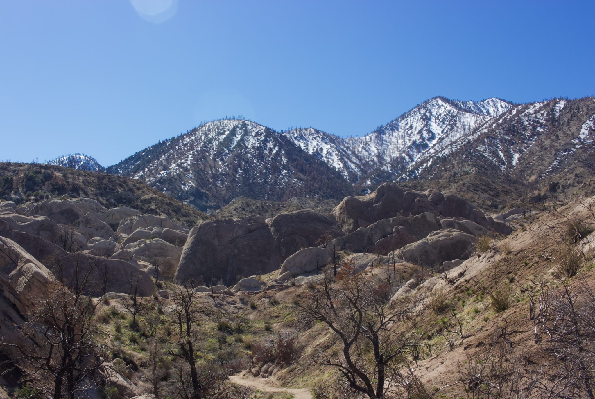
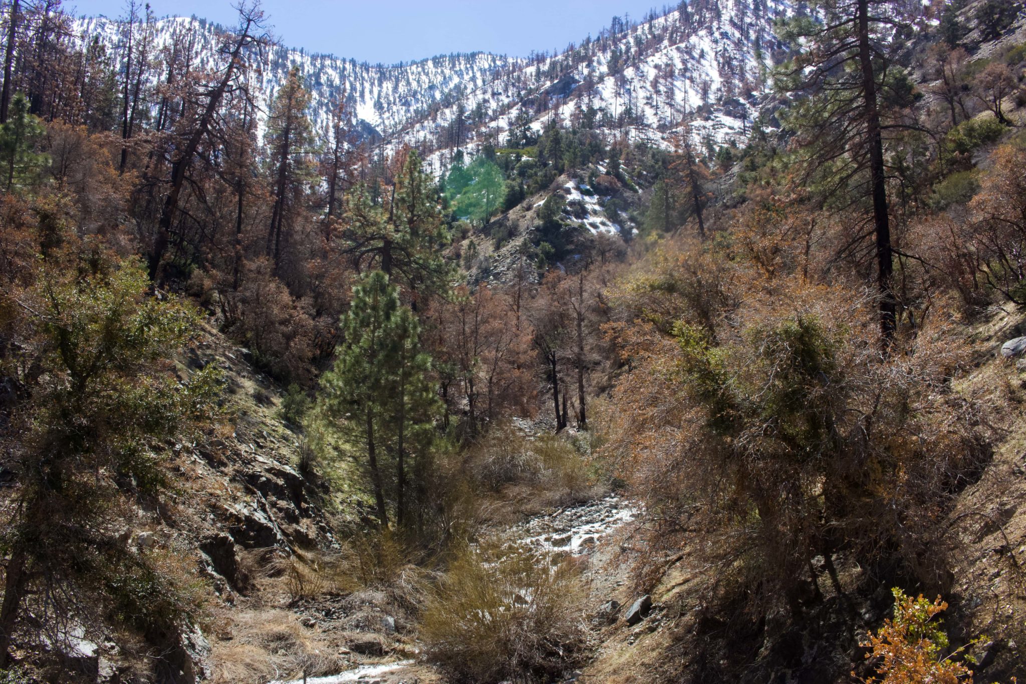
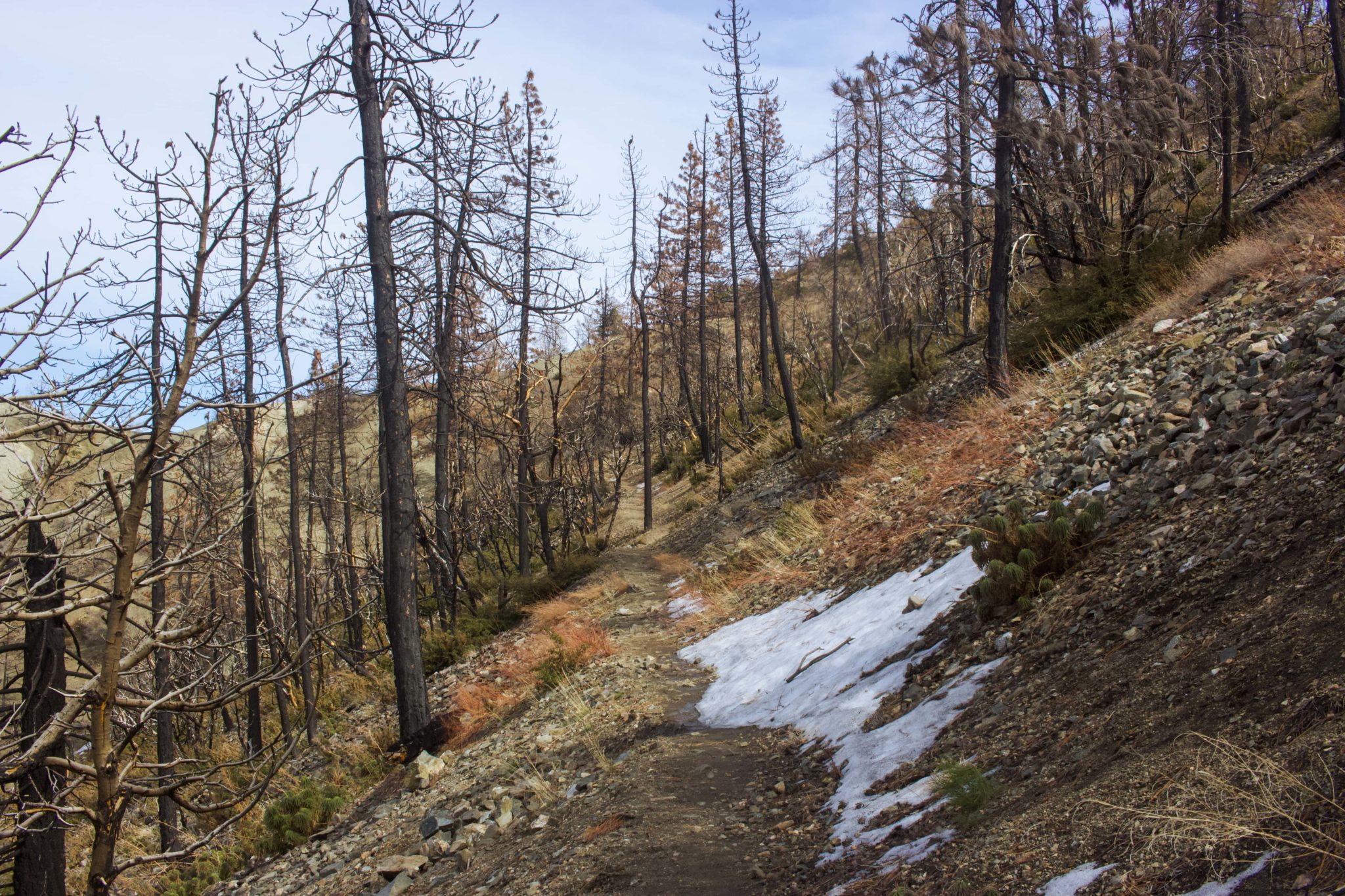
Since reopening on April 1st, 2022, the Devil’s Punchbowl Recreation Area bears many scars from the Bobcat Fire that torched much of the San Gabriel Mountains in September 2020. As of March 2023, many of the large trees and bushes are still lifeless and charred. Mercifully, there are several, less pine-heavy sections of the Devil’s Chair trail that evaded the worst of the flames. Even looking at the mountain peaks south of you, it is prominent which sections were affected the most by the fire. Overall, a solid 80 percent of these hiking trails are still clearly burned.

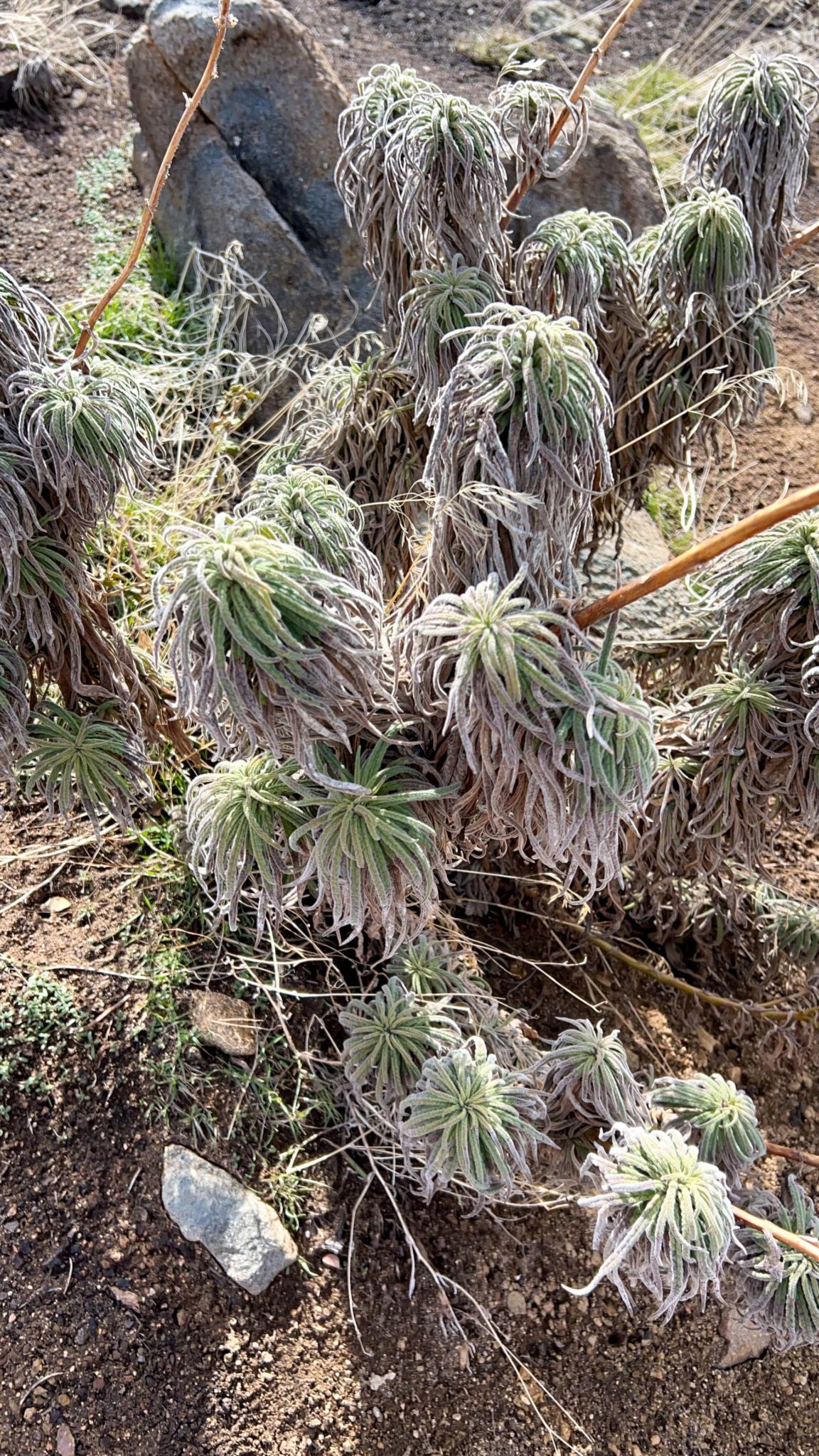
In the aftermath of the Bobcat fire, several native Southern California plant species are beginning to poke their heads through the soil. Aside from the seasonal grasses, Hairy Yerba Santa, Poodle-dog Bush, and Chaparral Yucca were growing in the burned sections. And although many perished, there were also several Pinyon trees that survived the flames. If there is any consolation from the fire, it’s that the rainbow of color that highlight the hillside is now in clear view, reminding me of Death Valley’s painted canyons.


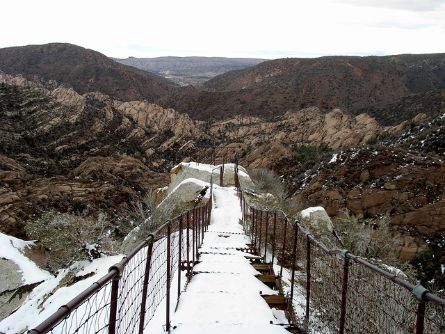
Trail conditions were surprisingly great. Both trails were well-maintained and easy to follow, with markers throughout. A new map board, four pit toilets, and picnic tables are available for hikers to use at the trailhead. Sadly, the nature center was destroyed and is not yet rebuilt.
Despite the many burn scars, the Devil’s Punchbowl Recreation Area is still a fascinating and otherworldly place to explore. However, as listed on the Los Angeles County Parks and Recreation website, this is still an active recovery zone, so please stay on the trails to help the new growth thrive.

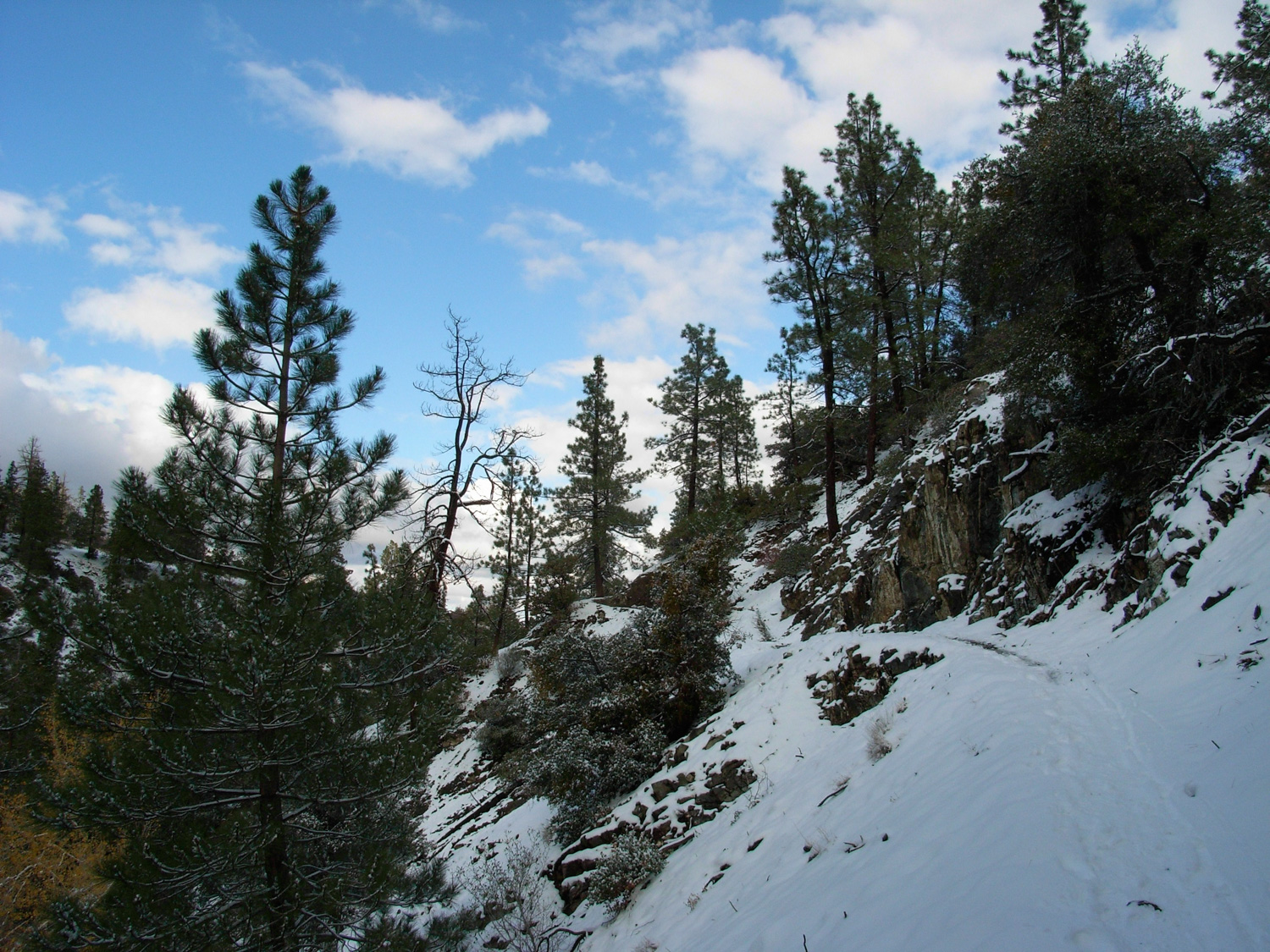
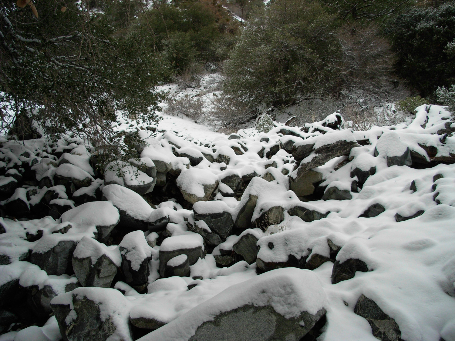
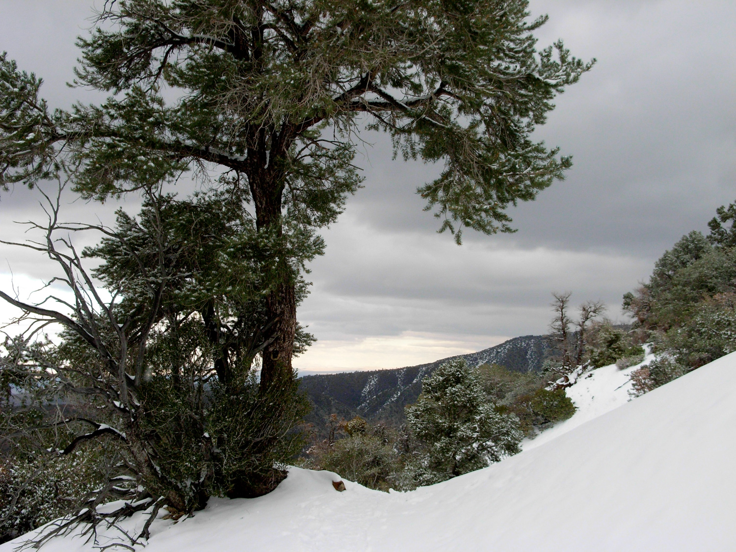
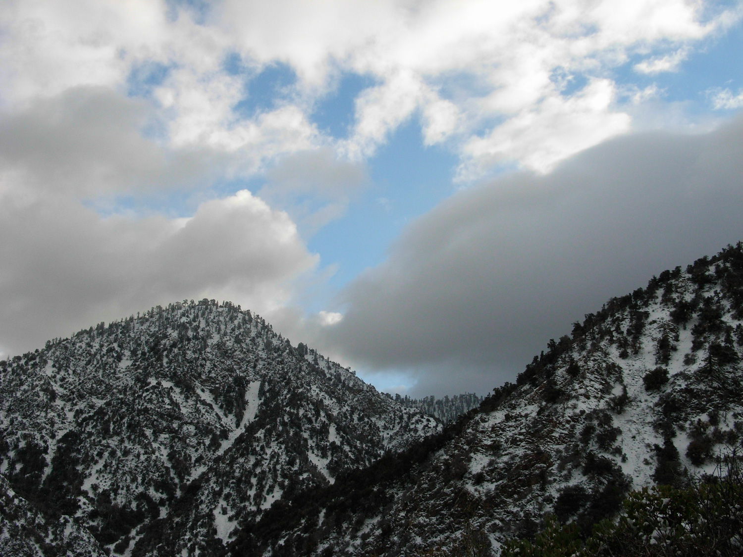
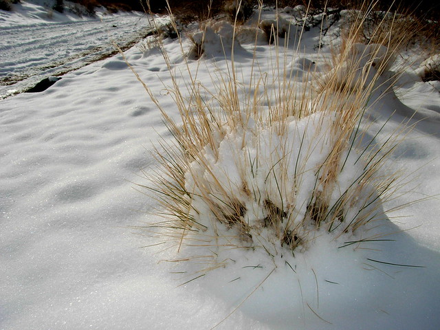
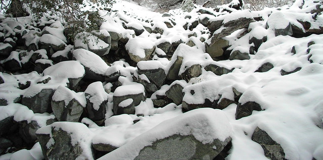
On this particular day, I came after a weekend of on-and-off precipitation, which at this elevation was snow. The Punchbowl was lightly dusted, which served to highlight the jutting slabs of sandstone.

Here, there was about an inch, maybe an inch-and-a-half of snow. The sound under my boots was soothing, and the cold air filling my lungs was better than any cup of coffee I’ve ever had.


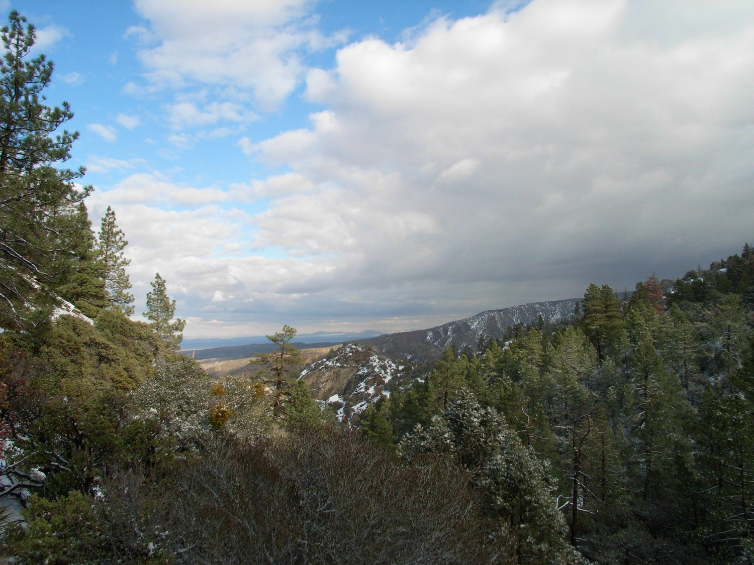
As the trail continued, it seemed like every time I had a stretch of elevation gain, it’d be immediately countered by a quick decline … which makes sense, as the trail was basically hugging the lower north face of the mountains as it crawled eastward. The scenery and fresh air were great, but I’m not sure how much of that just had to do with the fresh snowfall …
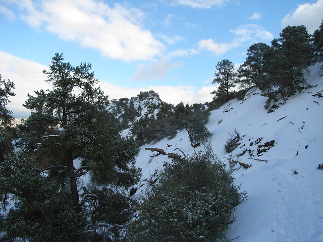

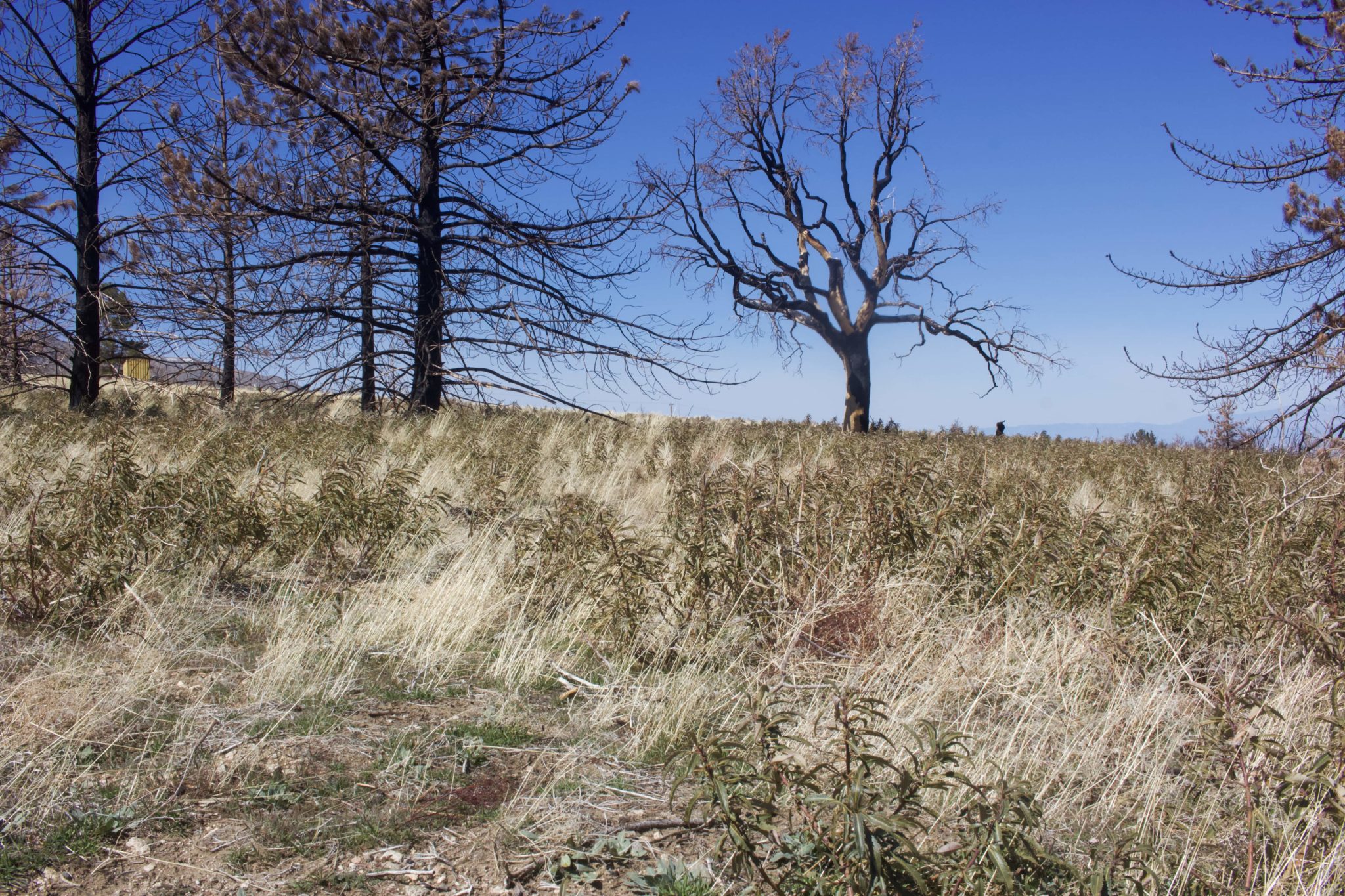
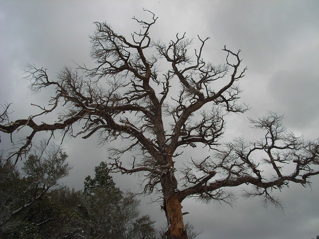
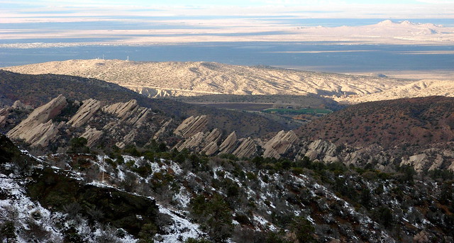
After reaching and passing several mini-summits that seem like they’re the end of the trail, the pathway finally peaks out just in front of Holcomb Canyon. From here, you won’t be able to see the Devil’s Chair itself, but you will get broad, sweeping views of Holcomb behind you and the Punchbowl in front of you. You’ll also see a beautiful, gnarled old tree husk that a certain Northern California hiker/blogger would definitely stop to take a snapshot of.
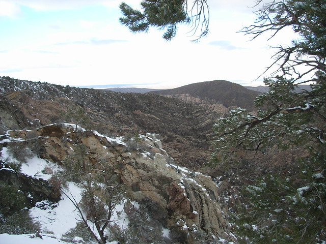
Wherever you are on this trail, make sure you stop every once in a while to take a look down at the Punchbowl formation. You never know when you’re going to get those angles just right.
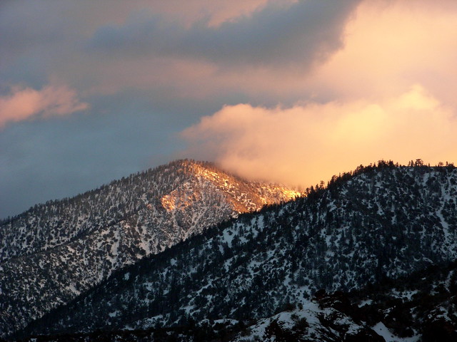
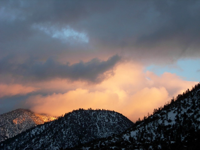
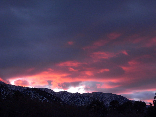
And then, as I returned to the trailhead, I was treated to another beautiful sunset. I’ll have to say, the decreased daylight hours are a drag, but if I keep getting these brilliant sunsets at the ends of my hikes, I think I’m sold on winter hiking.
Tags: Angeles National Forest, devil's punchbowl, geology, Hiking, Los Angeles County Hiking, Los Angles Hiking, Palmdale, Pearblossom, wrightwood