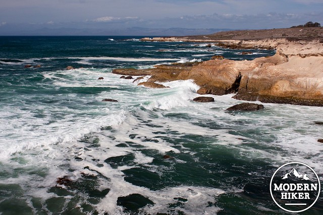
Montaña de Oro’s Bluff Trail is a sanctuary of observation and discovery. Visit this trail at different tides, times, and surf conditions for a variety of very unique and worthwhile experiences. One day you might see surfers riding an incoming swell, and the next you may find thousands of tidepool creatures going about their business during a low tide. Either way you will be rewarded with fantastic scenery and abundant wildlife, well worth the stroll.
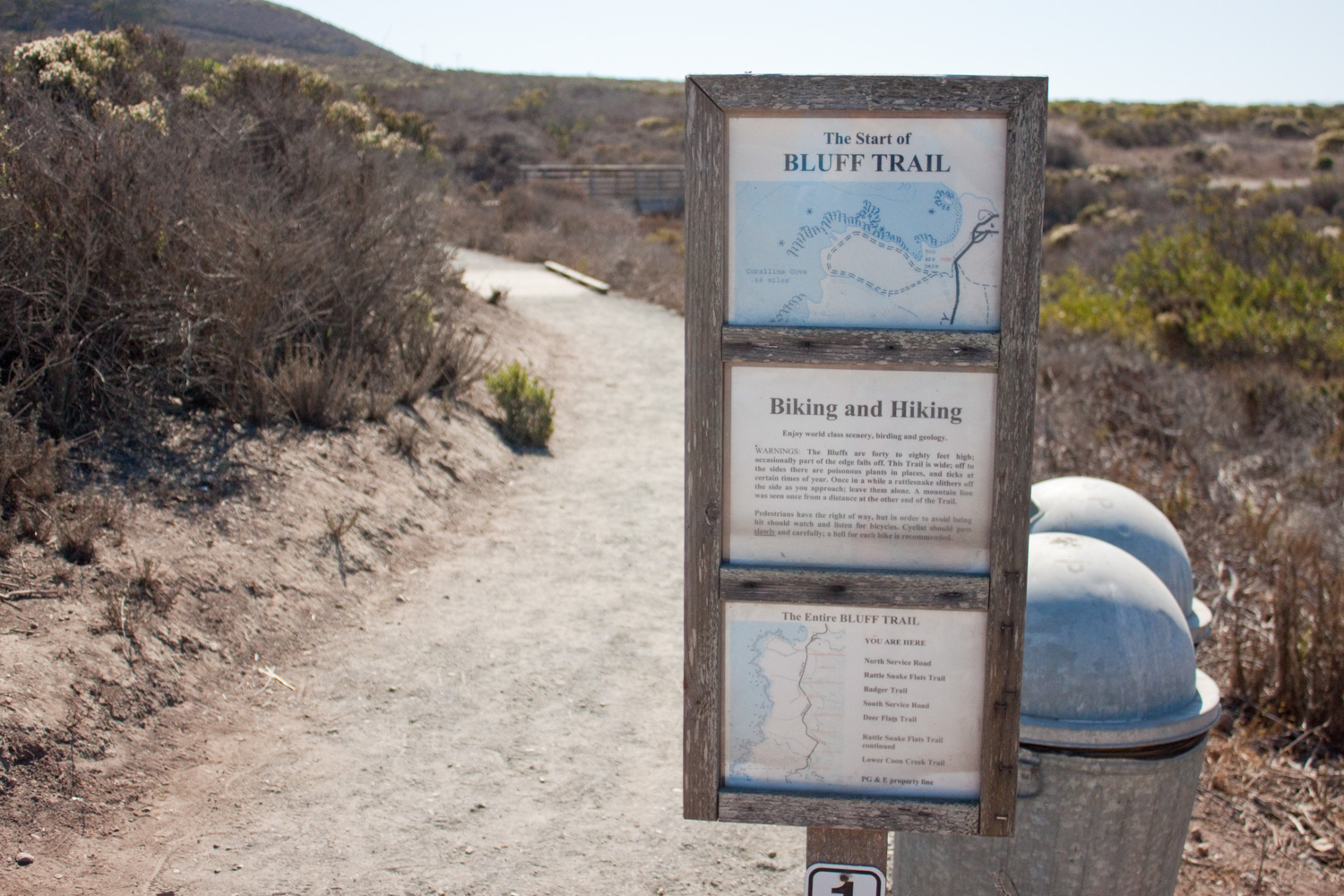
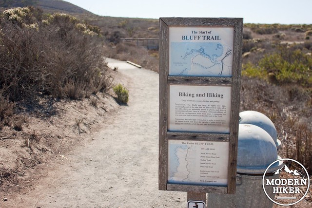
From the trailhead, get started by staying right to hug the coast leading out the south side of Spooners Cove. This trail was upgraded throughout 2014 and is now ADA accessible. While these improvements have set portions of the trail farther back from the bluffs, they have also created a much nicer trail that will handle the high traffic long term. This area is laced with social trails leading to the bluff edges. For your safety and preservation of the area, please stay on the main portion of the trail. The bluffs can unexpectedly slide into the water and the new trail provides many opportunities to see the bluffs up close.
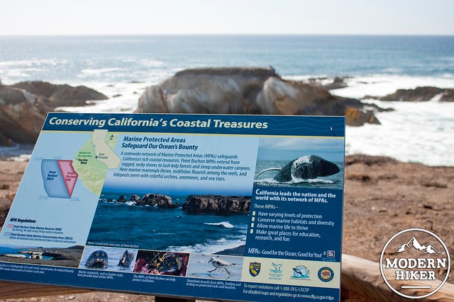
The first half-mile takes you past two interpretive viewpoints which discuss the marine life and conservation currently happening throughout the central coast. Looking north you get an excellent view of the sandspit protecting Morro Bay and Morro Rock.
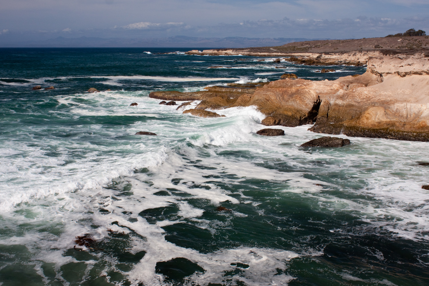
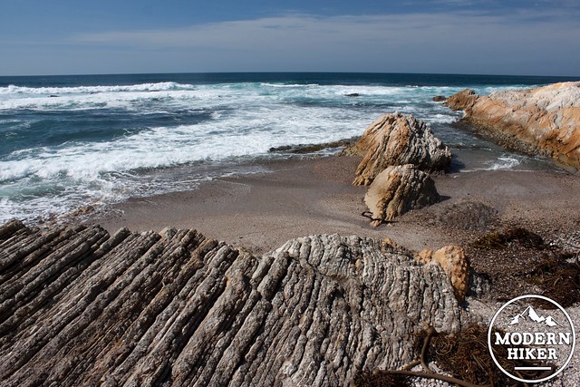
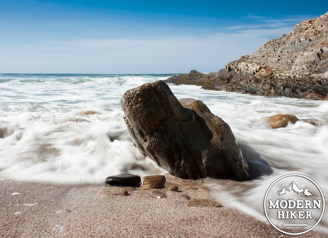
At mile 0.5 take the side trail on your right which goes down a flight of stairs to Corallina Cove. Look for a pack of harbor seals and the occasional sea otter diving for food in the bay. Try to time your arrival so that the tide is at +1.5 ft or lower. You can find upcoming tide levels and download a tide table here. Corallina Cove is a great spot for tide pooling. A large, flat, shelf becomes exposed at around +1.5 feet. On this shelf you can find a whole array of tide pool creature.
The intertidal zone (the coastline which resides between the highest high tide and the lowest low tide) consists of three levels; the high tide (upper mid-littoral) zone, the middle tide (lower mid-littoral) zone, and the low tide (lower littoral) zone. Above the high spring tide level is the splash (upper littoral) zone. Each zone houses it’s own set of creatures which have adapted specifically for that environment.
The splash zone receives a lot of spray from wave action but only gets submerged during storms. To survive in this zone animals must deal with prolonged periods of direct sunlight, the potential beating of waves, and aerials attacks from birds. Shield limpets, periwinkle snails, lichens, and barnacles can be found living here.

Shield Limpet, Periwinkle Snail, Lichen, and Barnacle
The high tide zone gets flooded twice a day and is exposed the rest of the time. Creatures such as aggregating anemones, leaf barnacles, mussels, and hermit crabs have adapted ways to stay moist even while out of the water for extended periods of time.

Aggregating Anemone, Leaf Barnacle, Mussel, and Hermit Crab
Most of the rock shelf at Corallina Cove sits at the mid tide zone. Giant green anemones, surf grasses, ochre sea stars, and chitons deal with the constant pounding of waves and occasional threats from above.

Giant Green Anemone, Surf Grass, Ochre Sea Star, and Chiton
In the low tide zone animals are only exposed twice a day and often remain in pools of water. You can find purple sea urchins, sunflower sea stars, sculpins, and corallina algae (from which this cove gets its name) living here.

Purple Sea Urchin, Sunflower Sea Star, Sculpin, and Corallina Algae
Here are five tips and reminders when exploring tide pools:
- Wear Good Shoes. The rocks are often wet and covered in vegetation. Flip flops are not a good choice when heading into the tide pool zone.
- Be Patient. Give yourself time to move slowly when exploring the tide pools. Often you can discover hidden creatures just by sitting and watching.
- Move Slowly. Anytime you walk into a tide pool zone you are likely going to crush something. Try to step on bare rock to minimize your impact. Move slowly to plan out your route. Some creatures, such as the aggregating anemone, look almost like sand when exposed. Move carefully for your safety and for the creatures’.
- Watch the Water. Sneak waves can come rolling in unexpectedly and easily knock you off your feet. Take a few minutes to watch the water before heading out so that you can observe the set patterns. As you continue, always keep one eye on the water.
- Leave It Be. It’s okay to lightly touch tide pool life, but don’t pick it up.
Once you have received your tidepooling fix head back up the stairs and continue as the trail briefly heads inland. In one-tenth of a mile a bridge crosses the ravine to your right. Cross the bridge to continue down the Bluff Trail, or go straight to complete a shorter (1 mile) loop of this route. A pit toilet is located in the eucalyptus grove just past the bridge.
The next half mile of trail hugs the edges of the bluff. Down below you can see a series of inlets carved into the weaker layers of rock. At mile 1.3 you will reach a solitary picnic table sitting above Quarry Cove. This is another good spot for tide pooling if Corallina Cove was too busy. Explore the small beach below for an up close look at the tilted layering of sedimentary rocks that make up the bluff terraces.
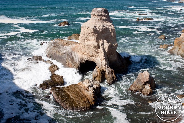
Continue following the coast as the trail winds up a low rise. At mile 1.7, after the trail parallels very closely to the bluff edge, take two steps off the trail to catch a cool view of Grotto Rock. You’ll get a good show here if the waves are coming in and it’s at least mid tide.
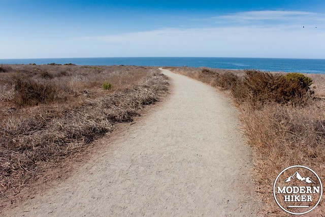
Another tenth of a mile ahead leads to a final viewpoint looking up the coast. This is the end of the worthwhile sections of this trail. You can continue ahead as the trail heads inland paralleling Coon Creek. This will lead to a large parking lot in a quarter-mile, then you can follow a series of lower-quality trails to make a loop. My recommendation is to retrace your steps instead: the Bluff Trail is just as good heading back. Keep the ocean on your left and 1.5 miles of retracing your steps will take you back to the trailhead.
When you return make sure to swing by Spooners Cove and the visitors center if you have extra time.
Tags: ADA Accessible, Central Coast, Montana de Oro State Park, tidepools