A network of old mining roads in the Providence Mountains, closed to vehicles and being reclaimed by nature, wanders through this scenic corner of desert. On the furthest eastern end of the road network (still open to high clearance vehicles), you can find the Hidden Hill Mine’s windmill, headframe, and cabin remains. They are quietly wearing away in their sunny and windswept location. On the western end where this trail begins, the roads wander through wind-sculpted rock and cactus gardens. The Mojave National Preserve doesn’t have many actual trails, so hiking on these clearly defined old roads seems like a luxury. Despite the ease of access and loveliness of this hike, Quail Basin is a quiet and isolated place. I haven’t seen another hiker out here.
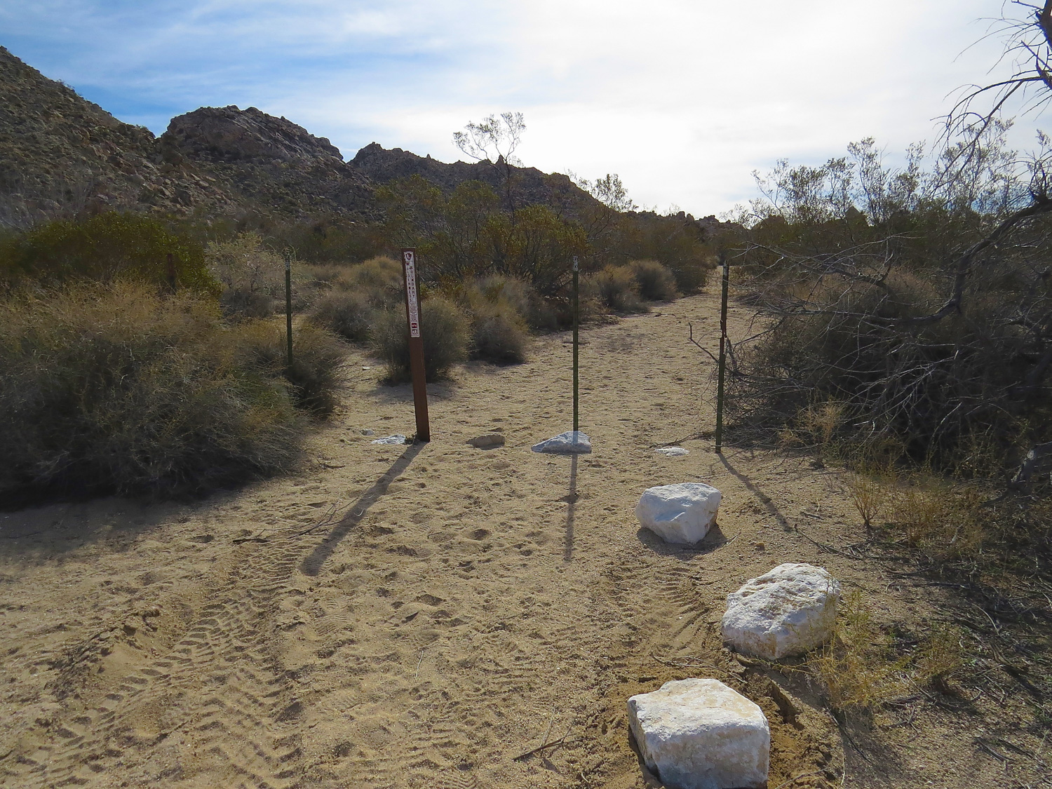
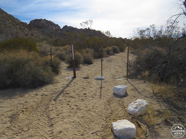
Start the hike at the small parking area. White rocks and metal posts mark the trailhead. The metal posts indicate that the road has been closed for wilderness rehabilitation.
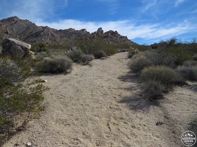
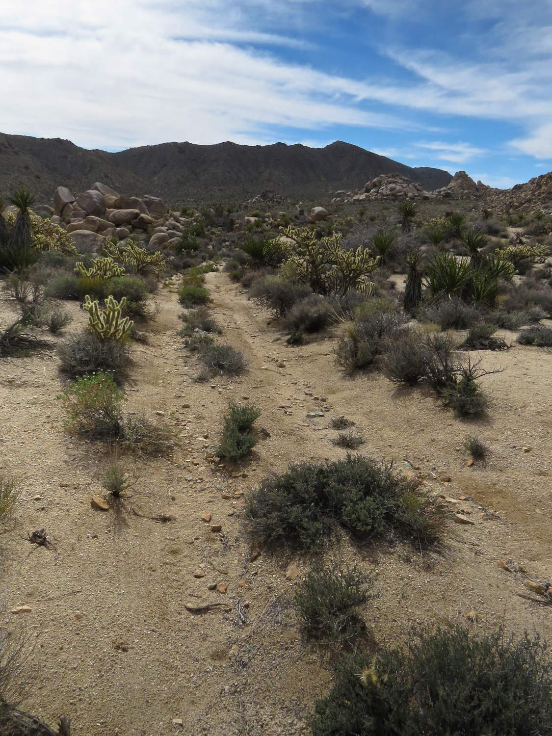
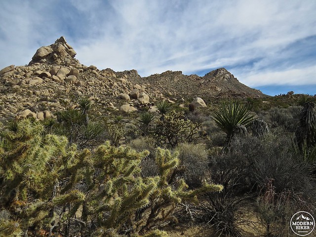
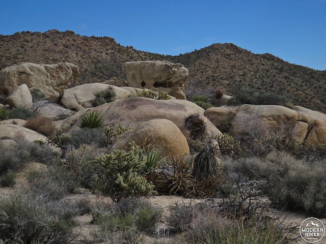
For just under two miles, the sandy trail climbs a gentle grade to the low pass into Quail Spring Basin. Make sure you turn around to look back from time to time for striking views of the Kelso Dunes in the distance. In addition to the views, weathered granite boulders, a profusion of plants, and sharp hills keep the hike interesting. The elevation gain isn’t extreme, but it’s enough to make a noticeable change in plant life. Creosotes are plentiful along the first section of hike, but the plant community changes quickly with cholla cactus and yucca dominating the scene.
The pass to Quail Spring Basin is about 1.8 miles in. You’ll know you’re there because the trail stops climbing and you will be looking east across the basin, a broad valley ringed by worn hills. Just beyond the pass, a short spur road on the left (north) leads to a scenic viewpoint in .25 miles. The viewpoint has 180-degree views looking north toward the Kelso Dunes and Providence Mountains and is worth adding in as a quick detour. Alternately, if you’re looking for a shorter hike, you can cut the loop and check out the viewpoint instead.
After the viewpoint spur, the main road continues all the way to the Hidden Hill Mine. Assuming you’re hiking the Quail Basin Loop, look for the loop junctions on the left (north) side of the trail at about 2 miles and 2.5 miles. I hiked this loop starting from the upper junction (2.5 miles). Take a left turn and follow an overgrown track that forms the loop.
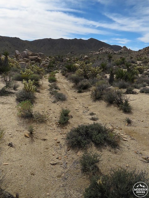
The loop road is easy to follow through Quail Spring Basin.
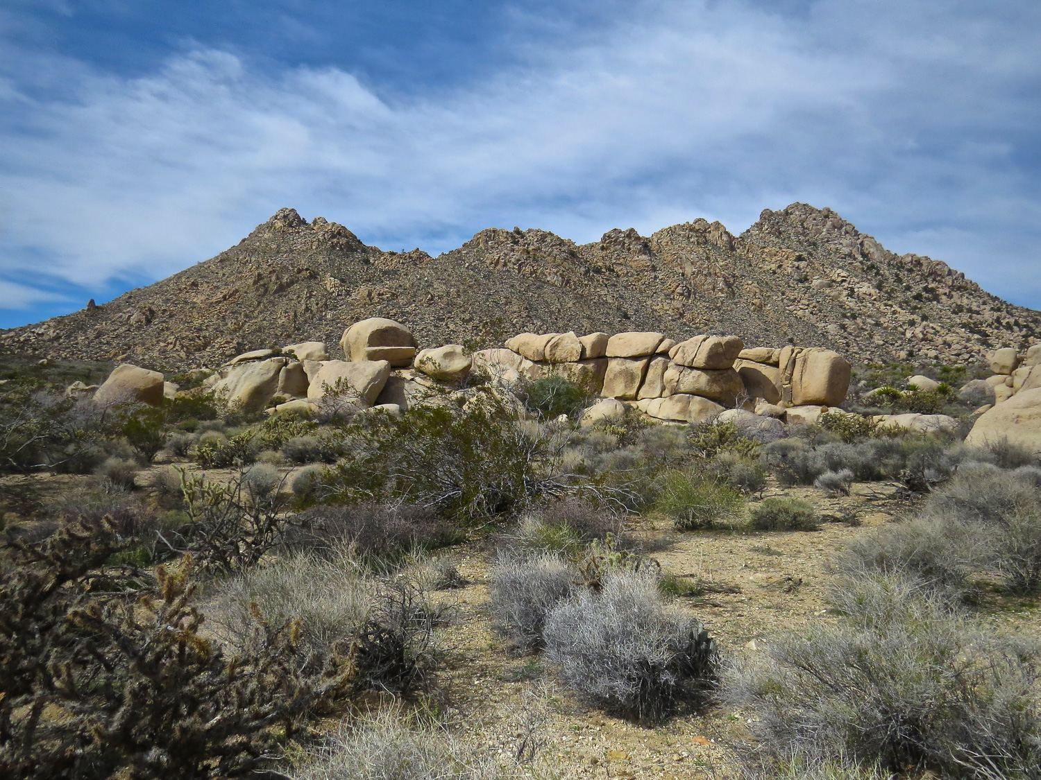
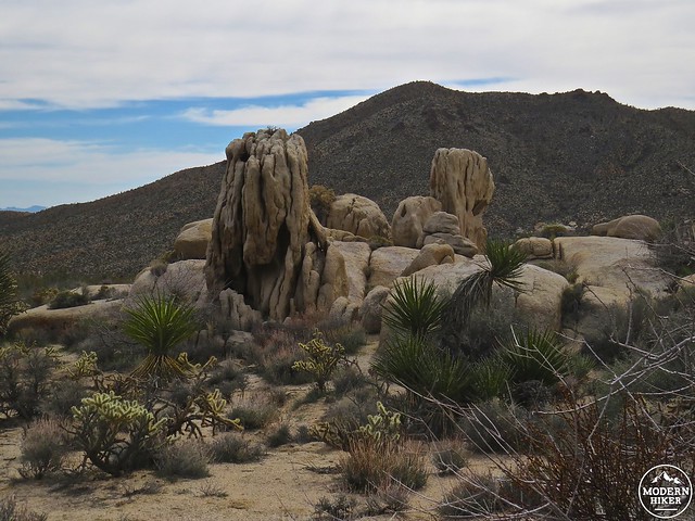
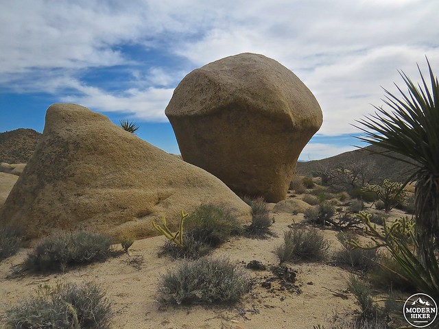
After the left turn, the trail wanders through the basin past eroded boulders and exuberant plant outcroppings before it reconnects with the main road. The rock formations here are wild, looking less like eroded rocks and more like ancient alien sculptures left over from some secret civilization. It’s entertaining to figure out what they resemble–giant mushroom and melted cassette tape anyone?
Once back at the main road, take a right to head north back the way you came in. It will be about 2 miles to the parking area.
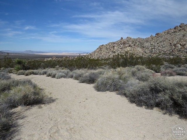
Views of the Kelso Dunes looking north.
This is a perfect hike to include on a day tour of the Mojave NP. Since it is located at the southern end of the preserve less than 8 miles from the Kelso Dunes, Quail Springs Basin is a great hike to combine with a visit to the dunes. The dunes are popular – the most heavily visited part of the park – but here, just a few miles away, you’re likely to have solitude.
Hike At a Glance
- Trailhead: Mile 0.0
- Pass: Mile 1.8
- Spur road to scenic viewpoint: Mile 1.85 (.5 miles r/t to viewpoint)
- 1st loop junction: Mile 2.0
- 2nd loop junction: Mile 2.5 (1.1 mile loop)
Tags: Camping, Granite Mountains, Hidden Mill Mine, Kelso Dunes, Las Vegas, Ludlow, Mojave National Preserve, Providence Mountains, Quail Springs Basin, Route 66