This 6.1 mile out-and-back travels over one ridge of the front range of the San Gabriel Mountains to get to Mount Lowe, part of old, sprawling land of the nearby Echo Mountain Resort. Mount Lowe was planned as the site of a grand alpine tavern and aerial tramway for the resort, but geography and money woes kept it from being fully developed – although there are still remnants of the resort on the summit, including some viewing tubes that can help identify nearby peaks. This trail’s multiple ascents and descents in both directions make it a decent workout trail but the mostly moderate grade, history, and views make it an attractive option for just about anyone. And if you’re feeling extra feisty, there are plenty of nearby peaks to add to the journey!
The collection of mountains near San Gabriel Peak is one of my favorites in the San Gabriels – it’s close enough to the city to accomplish as a day-hike, approachable enough for moderately experienced hikers to enjoy, and far enough away from the crowds of nearby Mount Wilson and Echo Mountain to almost guarantee long stretches of hiking solitude. There’s turn-of-the-century history, Cold War history, and several nearby peaks to add to the hike should you feel some extra energy on the return trip.
The trailhead for the Bill Reilly Trail begins at a small turn-off off the Mount Wilson-Red Box Road (called Mount Disappointment Road on Google Maps). Park your car just off Mount Disappointment Road or off the Mount Wilson Road if there isn’t any room. Be sure to display your Adventure Pass.
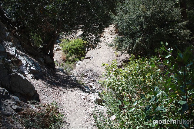
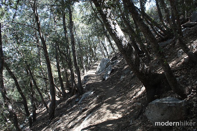
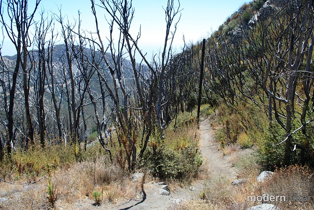
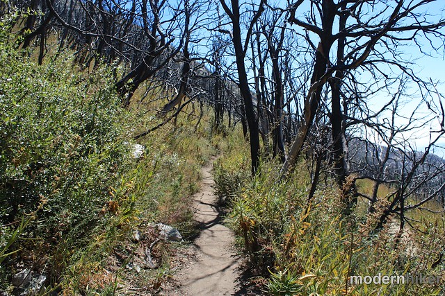
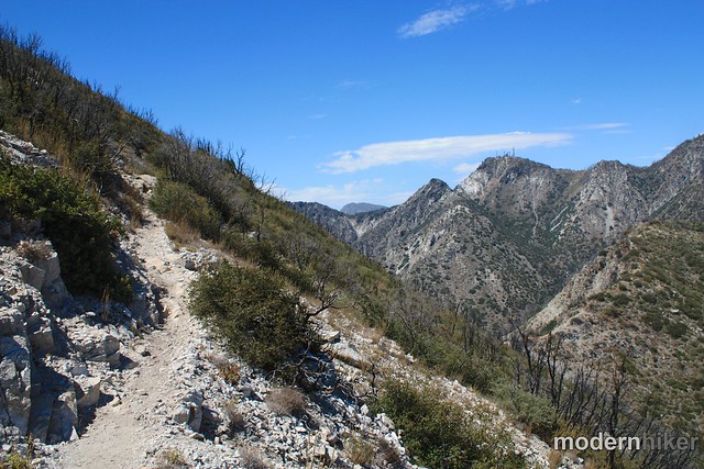
The Trail begins on a slightly-eroded hillside and makes a steep, switchbacking ascent up some loose talus. There are a few very small patches of poison oak near this part of the trail, so just keep your eyes open for it.
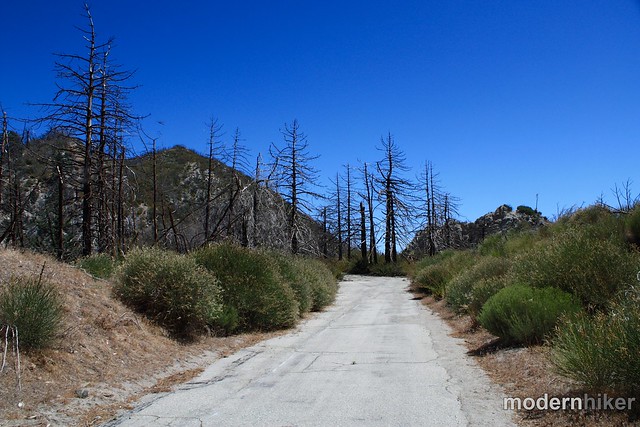
At the 1.1 mile mark, the trail ends and joins Mount Disappointment Road (Forest Road 12W24) and continues south until about the 1.3 mile mark.
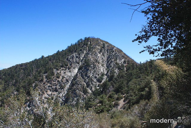
The mountain’s unusual name has an interesting history – when the San Gabriels were first being mapped by the USGS in 1894, surveyors viewing the ridge from the San Fernando Valley believed Disappointment to be the highest peak in the region. When they actually reached the peak, however, they found it to be 167 feet shorter than San Gabriel Peak, so they named it Mount Disappointment.
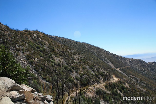
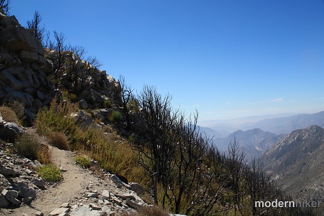
Even with the fire damage, the views are still very nice and it’s a fun trail to hike on as it drops just under 400 feet in 0.6 miles.
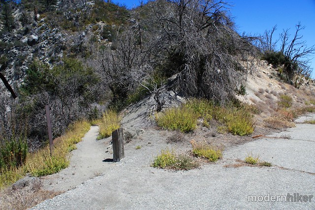
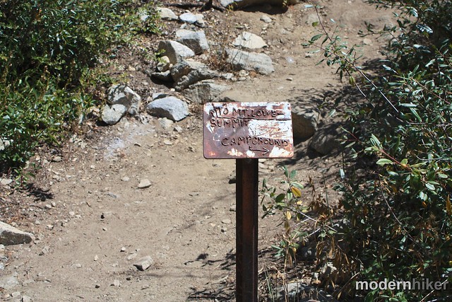
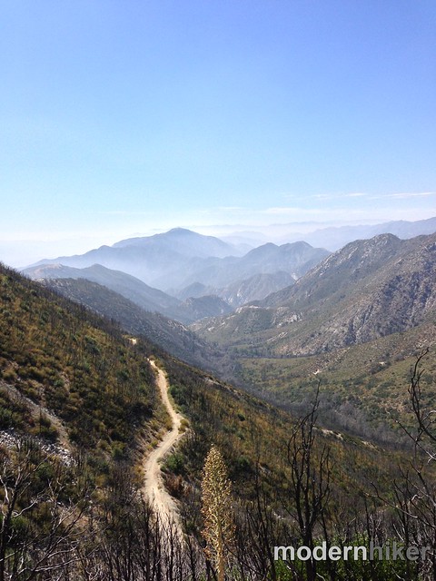
At about the 2 mile mark, the trail meets up with the Mount Lowe Motorway. Cross the dirt road and look for a smaller single-track trail that rises parallel to the Motorway, marked by an old metal sign.
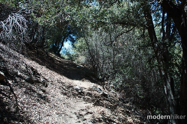
For now, though, continue on the established trail as it starts to climb up the slope of Mount Lowe.
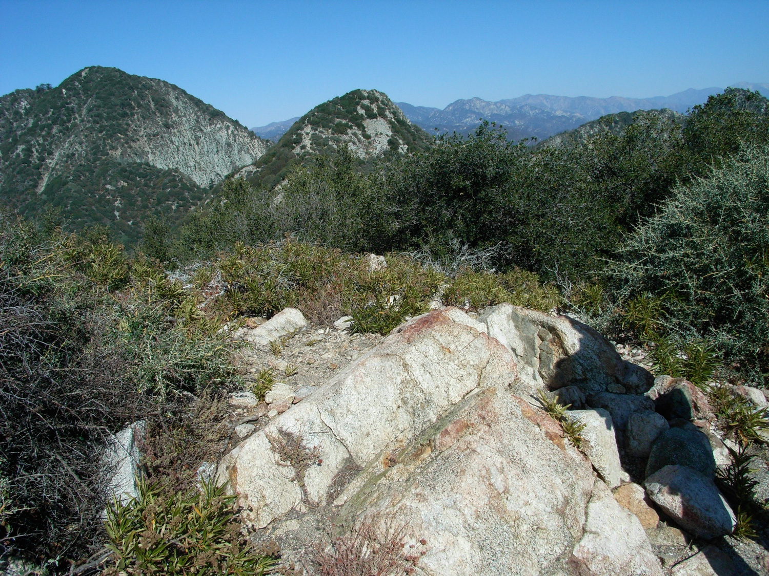
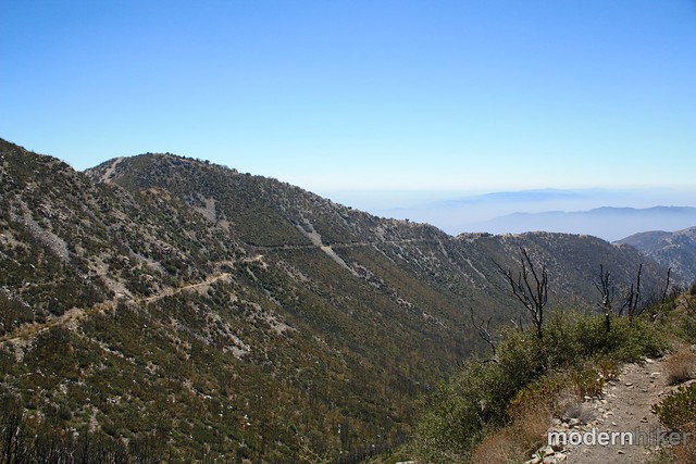
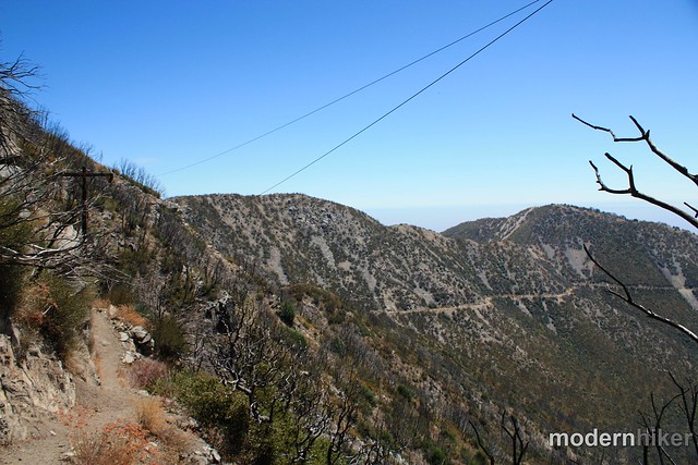
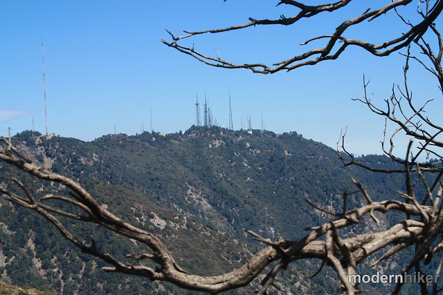
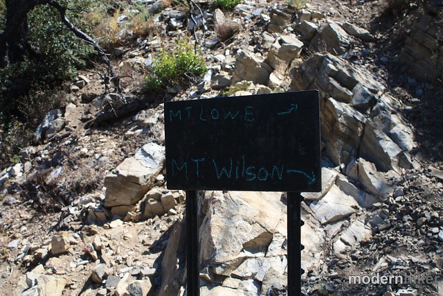
At about the 2.8 mile mark, the trail splits at a three-way junction. There’s a metal sign that will point you in the direction of Mount Lowe or, if you went back the way you came, to Mount Wilson. There are some good views of the latter mountain from this vantage point – so soak them in, then keep climbing upward.
Look for a trail junction near the 2.9 mile mark, and make a sharp left for a short final ascent up to the summit of Mount Lowe.
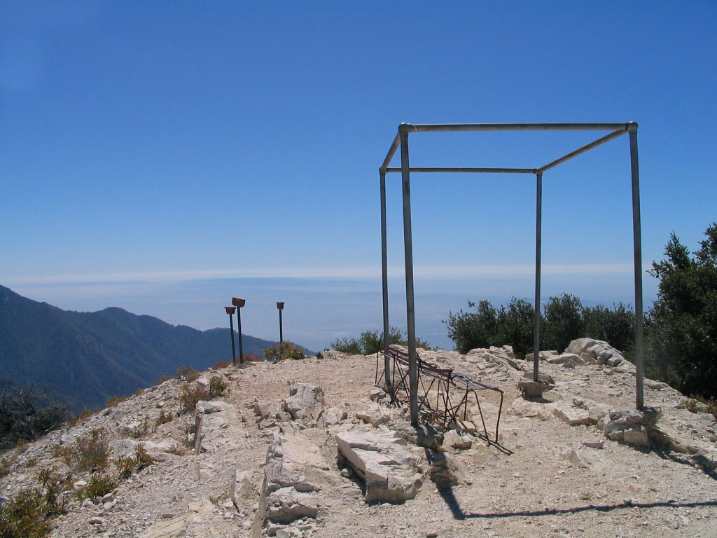
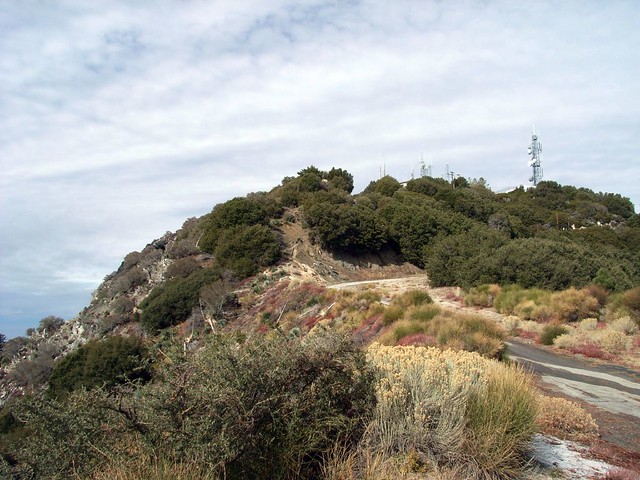
In his original plans for the San Gabriels, Professor Lowe planned to extend the Mount Lowe Railway from nearby Echo Mountain all the way to the summit of this peak, where he planned to build another large hotel and an aerial tramway to San Gabriel Peak … where he also planned to build an observatory and research institute (can’t say the guy wasn’t ambitious!). Unfortunately, he was plagued by money woes and the railway only made it to the Alpine Tavern, about 1100 feet below and 2 and a half miles away.
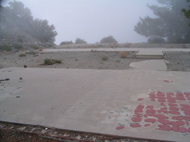
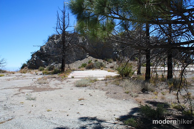
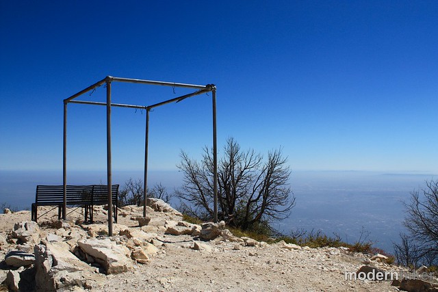
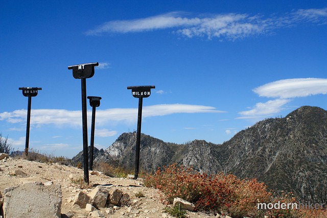
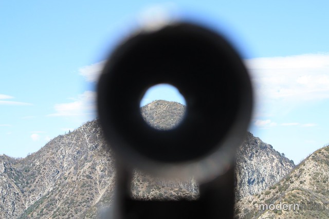
From the Tavern (now gone), visitors could hike or take a horseback ride up to Mount Lowe, where a large flag flew and viewing tubes allowed people to easily spot and identify other local peaks. When the railroad closed in 1937, they left the tubes, flagpole, and a hitching post for horses on the summit – which are all still there today.
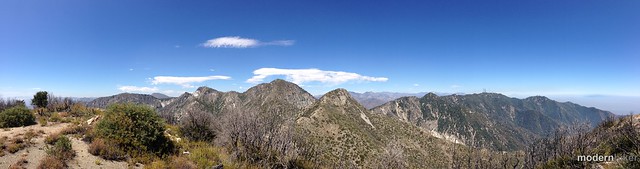
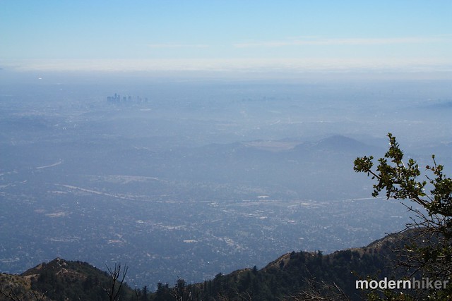
The views from the summit are still awe-inspiring, especially on clear winter days or after a rain. But even through some summer haze, I love coming up here to gaze at the Great Sprawl of Los Angeles – its millions each chasing their own dreams just like Professor Lowe did more than a hundred years ago.
Tags: altadena, dog-friendly, echo mountain, Hiking, Los Angeles, Mount Disappointment, Mount Lowe, Mount Markham, Pasadena, professor thaddeus lowe, San Gabriel Peak, white city