The 784-acre Harmony Headlands State Park north of Cayucos in San Luis Obispo County preserves and protects grasslands and a coastal marine terrace overlooking a beautiful section of the Central Coast. From the terrace, one can observe steep hillsides sloping toward a rugged coastline unfurling to the south as far as Montaña del Oro State Park south of Morro Bay.
This easy 4.2 mile trail offers access to the rocky coastline after passing through a brief riparian zone and through rolling grasslands that come alive with wildflowers and vivid hues of green during wet winters. This property used to be cattle pasture that was later slated for development until the American Land Conservancy purchased the land and deeded it to the state for protection.
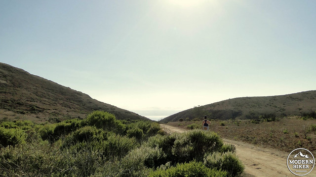
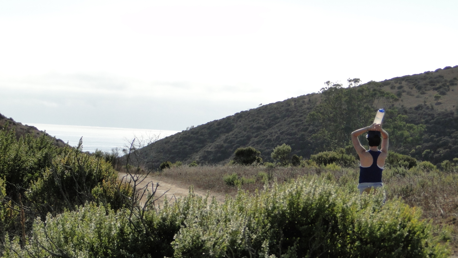
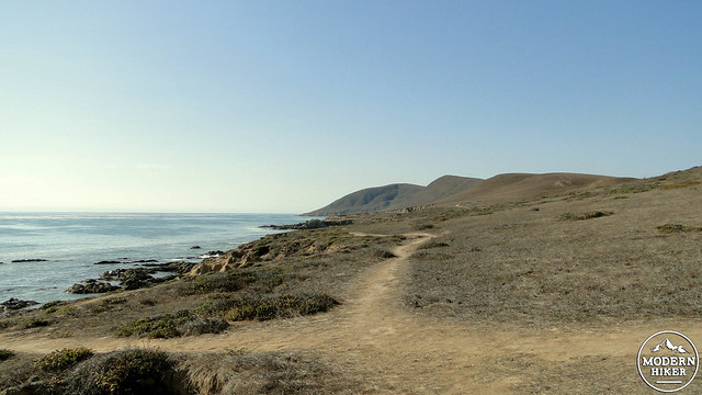
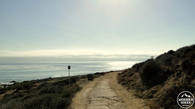
Starting from the Harmony Headlands parking area, climb about 100 feet heading west along the Headlands Trail over a gentle rise. Once on the other side of the rise, a view of a shallow valley opens up ahead of you. The trail splits with one branch heading right toward a bathroom. Keep to the left to continue traveling west toward the coast. Along the way, you’ll pass a handful of benches spaced out along the trail to provide resting spots. There’s no shade, but on a cool day it may be nice to watch the grass rippling in the breeze.
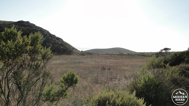
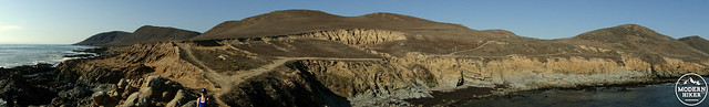
The trail bends to the northwest and the bends back southeast to skirt a prominent hill before approaching and then entering a ravine. The trail follows the course of the ravine down toward the grassy terrace overlooking the ocean. Once onto the terrace, the trail bends north before splitting into a pair of parallel trails.
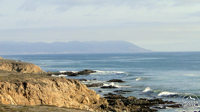
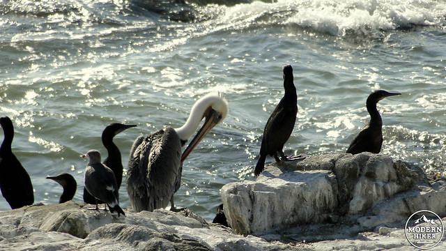
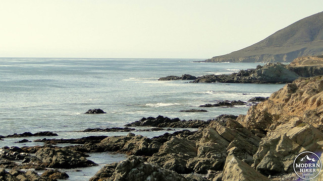
The trail further from the rocky shoreline is an official trail, while the trail closer to the shore appears to be a use trail. Given that the use trail approaches the edge of the cliff, we advise discretion lest the trail pass over any unstable terrain. The coast here is very rocky, and a number of sea birds will be found resting on the rocks. While this is a poor place to attempt to do any swimming, it is a great place for bird watching.
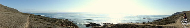
As you continue northwest, you will eventually reach a point where the trail approaches a fence indicating private property at the edge of the Harmony Headlands. At this point, the trail approaches a rocky outcrop upon which you can climb and take in the full expanse of the view south. The view north is less impressive given that there’s a poor angle to observe the coastline looking north. Southward, however, you can see the coast as it curves down toward Moro Bay and the rocky headlands south of Moro Bay.
This is your turnaround spot, and from here you can retrace your route to the return. Plan to time your hike for sunset on a clear day so that you can observe the sun sinking into the ocean and the sinking light’s effect upon the golds and greens of the hillsides.
Tags: Cayucos, Central California coast, Harmony Headlands, Paso Robles, San Luis Obispo County