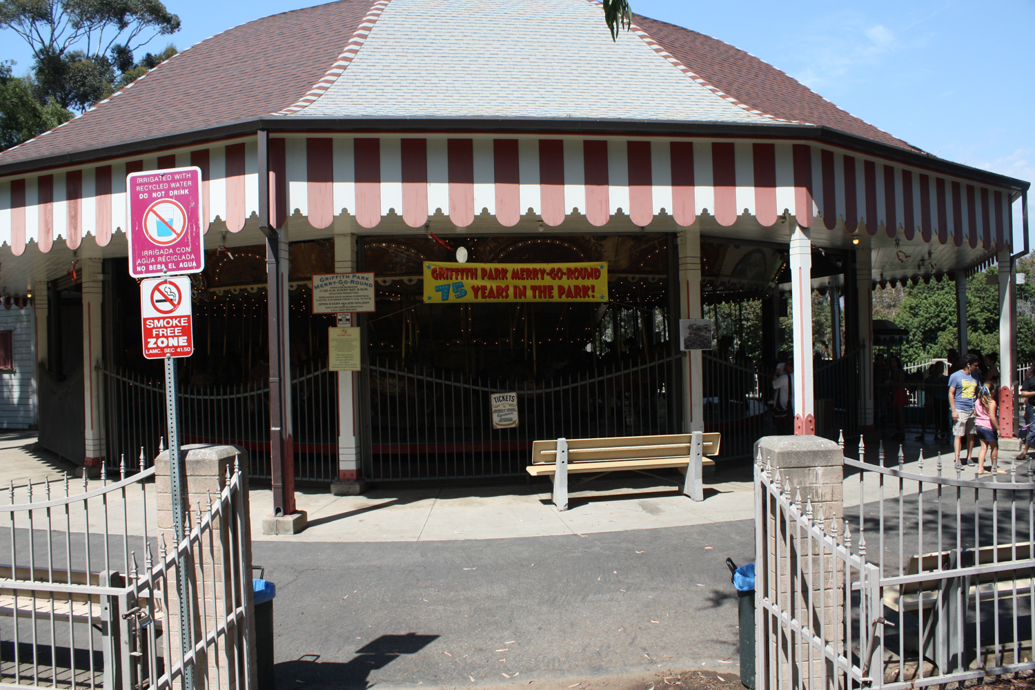
A just-under four mile loop through a seldom-used section of Griffith Park. This hike will take you up to the fenced promontory of Bee Rock for tremendous views of Glendale and the San Gabriels, then back down through the ruins of the old Los Angeles Zoo before ending up at an historic carousel.
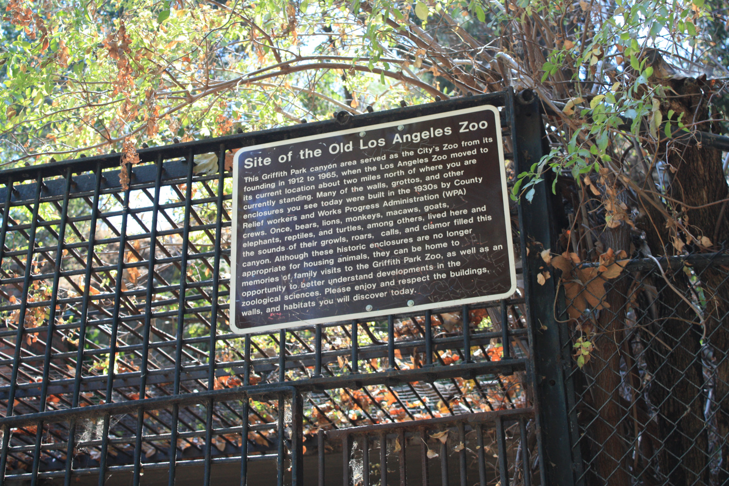
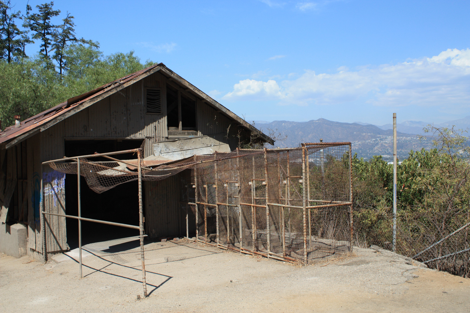
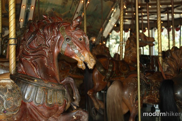
From 1912 to 1966, the original Los Angeles Zoo was housed in Griffith Park, just a few miles south of where the current zoo stands. Its grounds are fairly small and many of the buildings are gone, but there are enough remaining structures to make this a worthwhile (and very unique) hike. I mean, how many other trails do you know of that let you climb around old lion dens AND finish the hike with a ride on a carousel built in 1926?
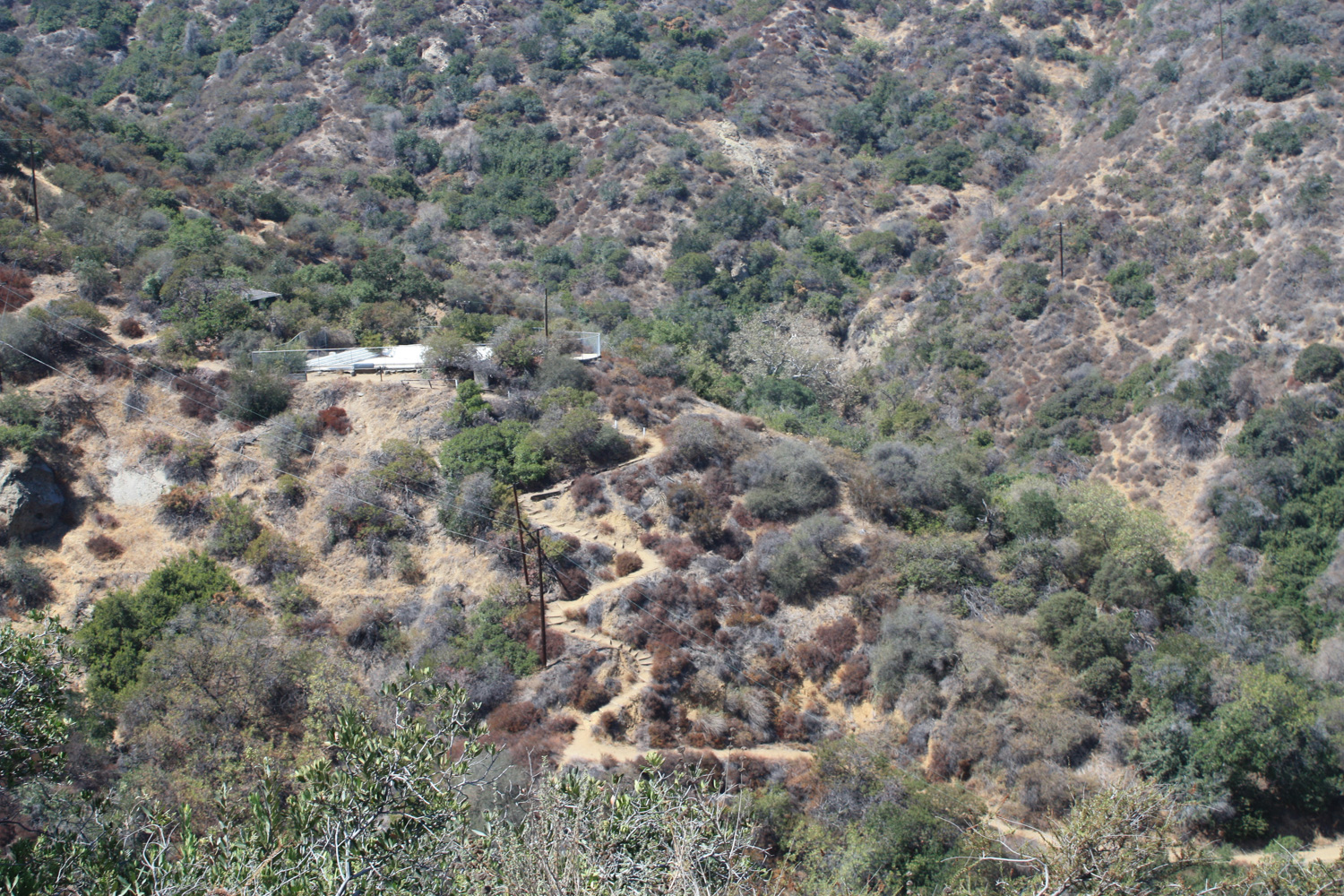
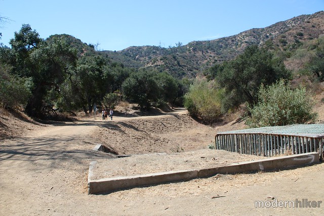
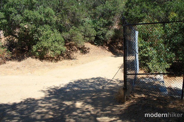
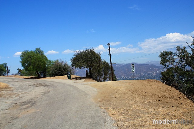
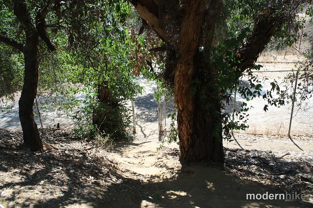
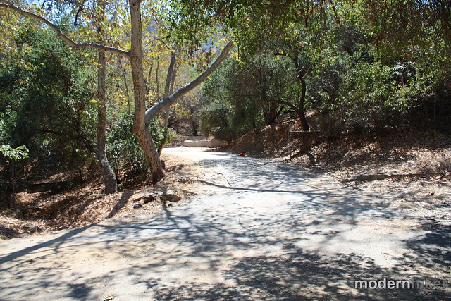
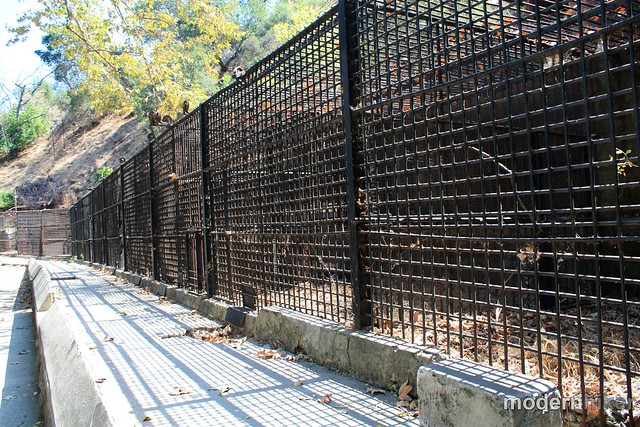
After you park in the lot for the carousel, head southwest and continue hiking past the gate. I counted at least four other trailheads in this area – none of them marked. If you want to just get going on the trail, hike on the paved road past this caged water debris basin and look for the broad, short fire road that hits a three-way junction within a stones’ throw of the paved road (and proceed in this write up to the paragraph beginning with ***). If you want to follow my route, which, was admittedly a little confused at the get-go, turn up the fire road pictured here and look for the small trail ascending off the main path (look for stairs).
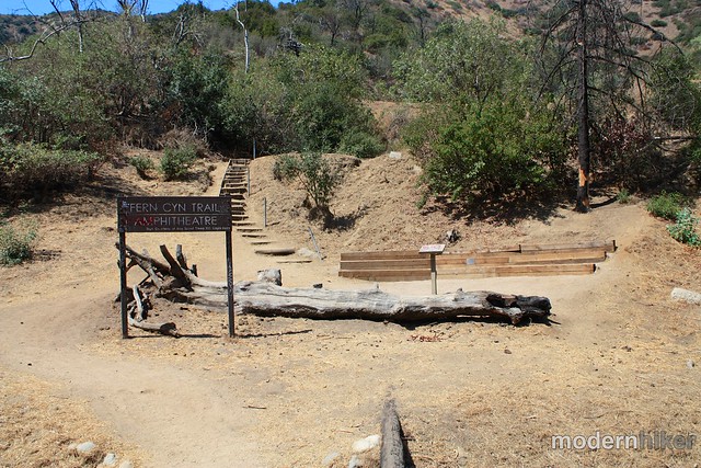
After you walk through the amphitheater, climb up the steps and hang a sharp right onto the fire road. Continue walking about a tenth of a mile until you get to this junction:
Since that whole area is potentially really confusing, here’s an overhead of the two routes from the parking area:

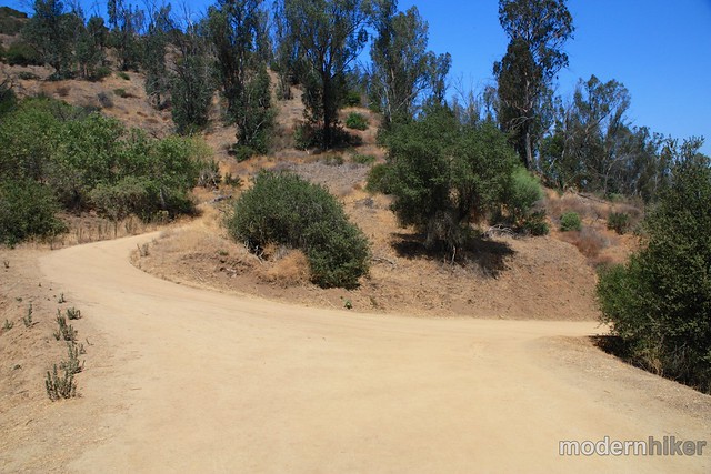
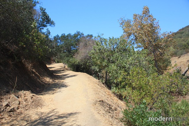
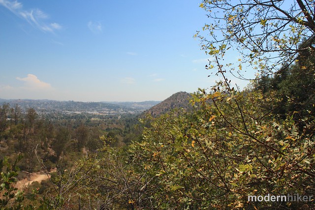
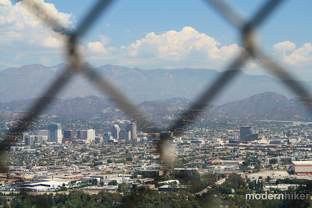
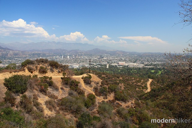
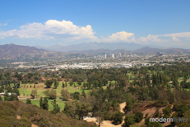
The road makes a small quick ascent here – about 120 feet in 0.2 miles – then makes a long, gradual descent. Almost immediately, you’ll have some great views northeast into Glendale – and if it’s a clear day you’ll be able to see the San Gabriels, too. At this point, you’ll also probably be able to hear the carousel music.
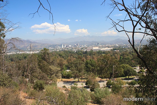
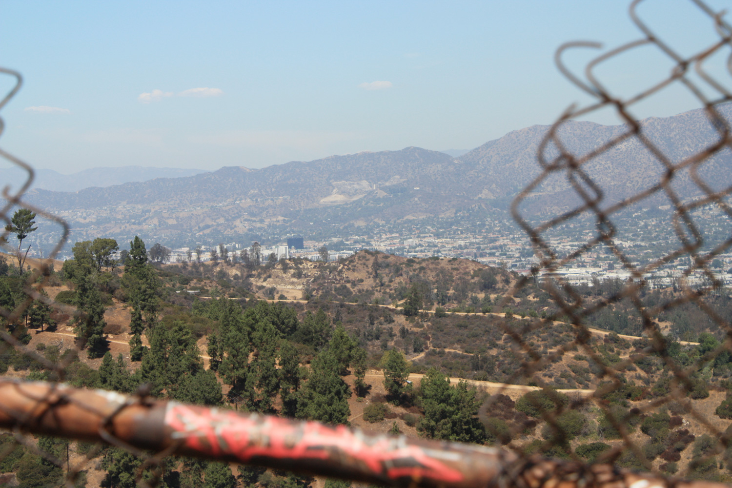
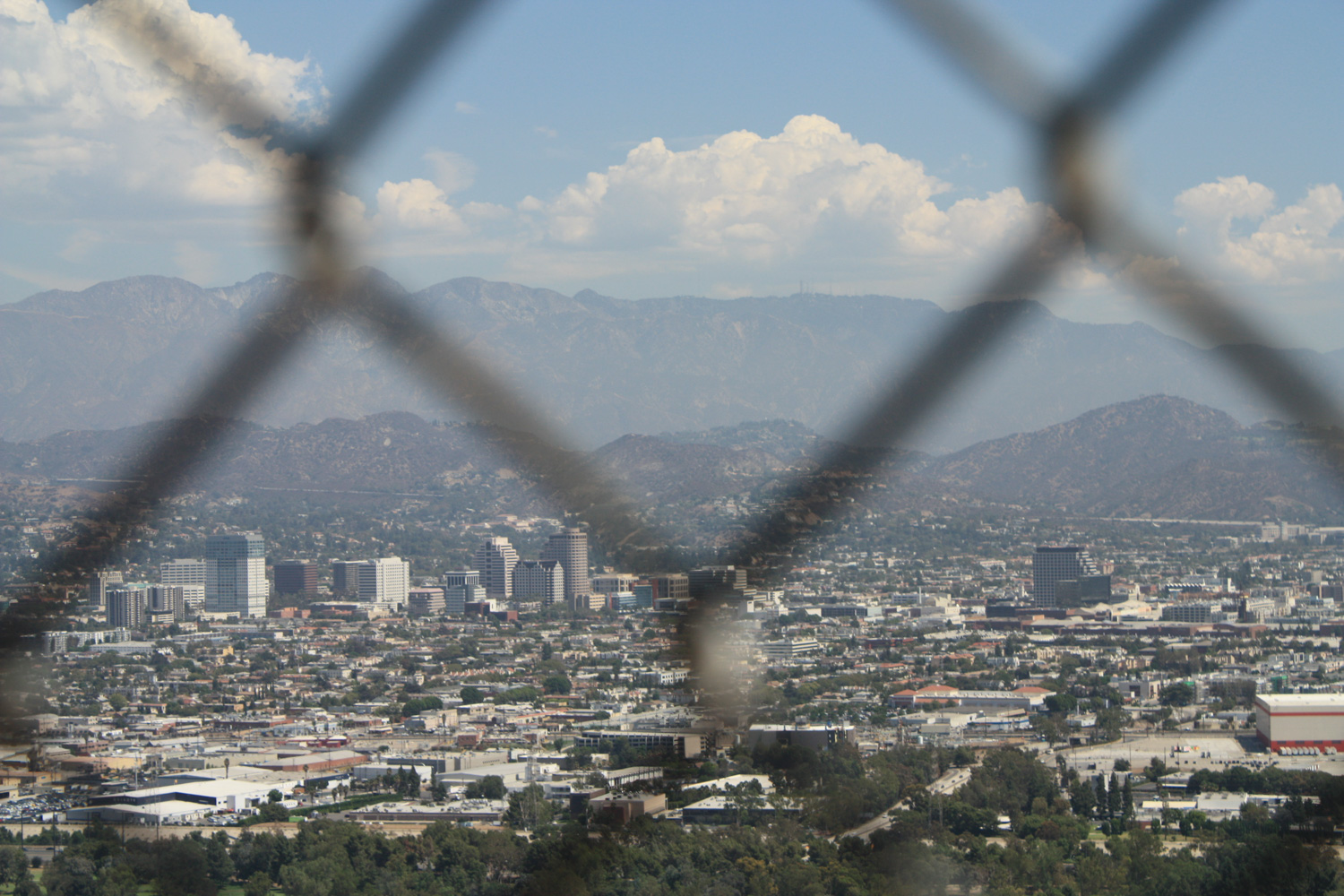
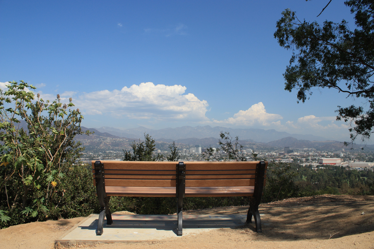
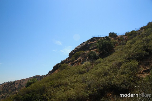
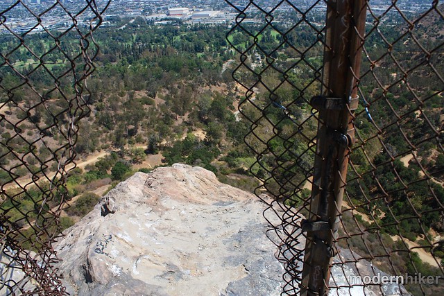
Soon, the road opens up a bit and you’ll be able to make out Bee Rock – it’s pretty hard to miss, actually. If you look closely, you’ll be able to see a small chain link fence at the very top of this rock formation. This is your view-point goal for this hike, but you’ve still got a little ways to go to get there.
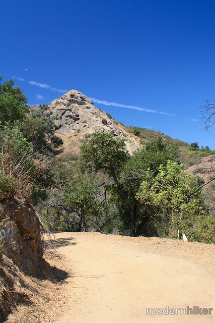
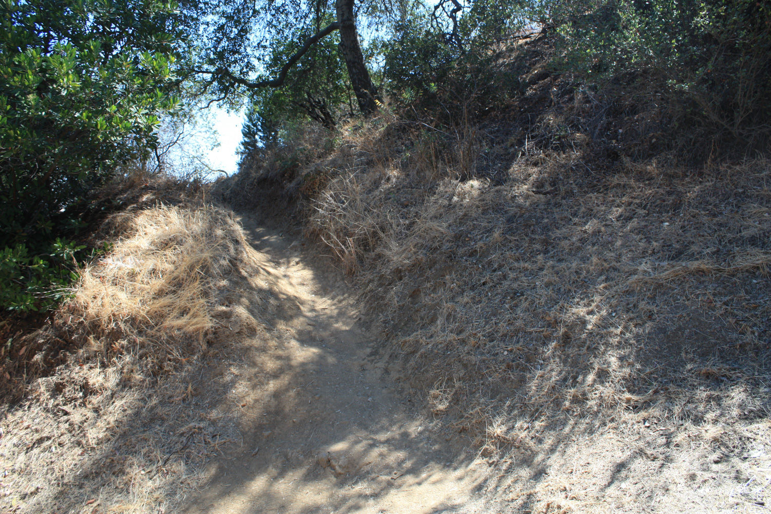
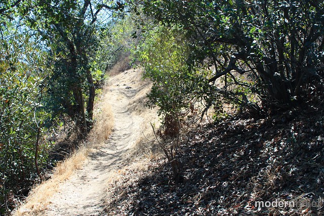
This is the start of the first major ascent on the trail – and there isn’t much shade here other than the occasional glancing shadow from the brush. If you’re doing this hike in the mid-day, get ready to sweat.
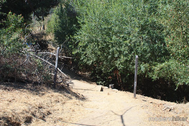
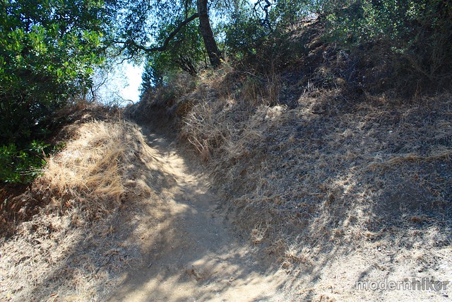
Just past the 1.3 mile mark, the fire road makes a sharp left turn and abruptly ends – but the trail keeps going. Look for a small single-track that jumps off the road and into the brush – then follow!
Just before the 1.4 mile mark, you’ll come to a fork in the trail – and both routes look well-traveled. Either route will get you to the top, but the path to the right is the “official” trail, so stick to that one. Continue your ascent for another tenth of a mile, working your way up some tight switchbacks and enjoying the views of approaching Bee Rock.
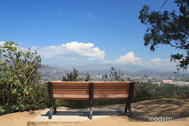
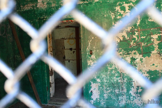
It’s unfortunate that the entire view is blocked by a chain link fence – but once you step out to the end of the Rock you’ll understand why. The rock is pretty slick and it’s a looong way down. If you REALLY want to risk your life, there are some holes in the fence you can get through, but the view’s pretty good looking through the chain links, too …
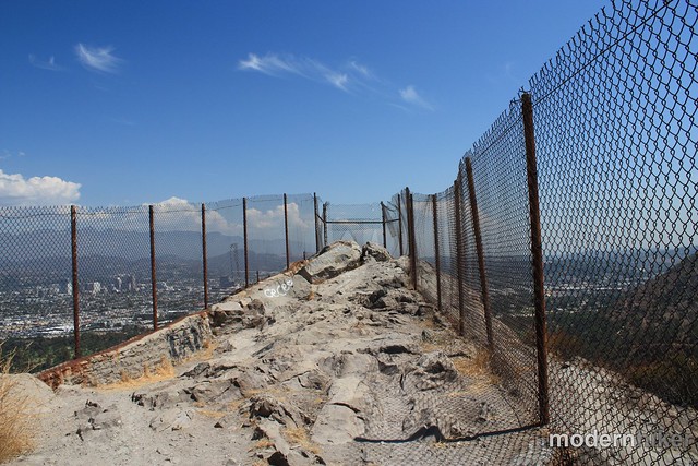
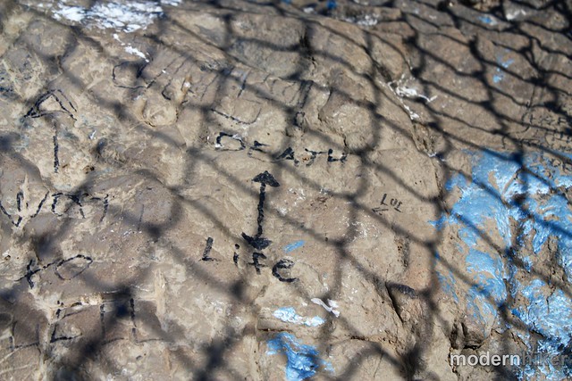
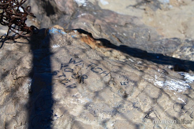
If you do decide to try to climb through the holes in the fence, some previous hikers have left some graffiti making your decision pretty clear:
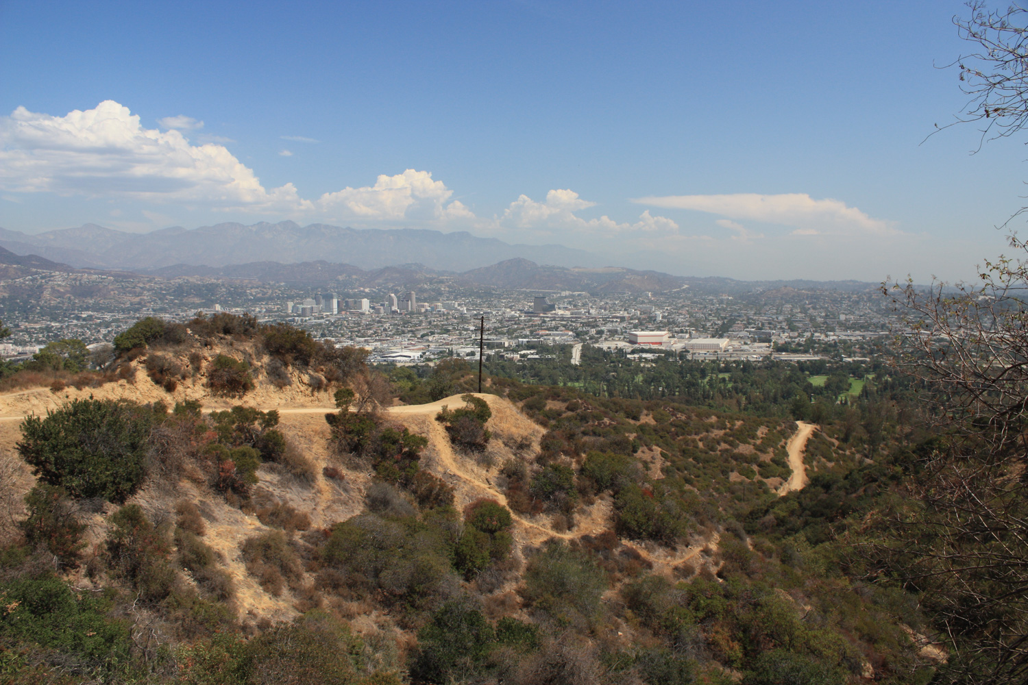
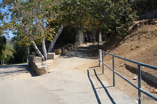
When you’re done soaking in the views, turn around and follow the ridge all the way past the Bee Rock Trail until it hits the Vista del Valle Road. Take a right onto this broad paved road and follow it until you reach the 2 mile mark.
At the end of the trail, you’ll see a large sign with Bill Eckert’s name on it. When you get here, hang a sharp right to continue descending, then look to your left for a break in the chain link fence. Walk through this fence then continue straight across the paved road to continue into the zoo grounds.
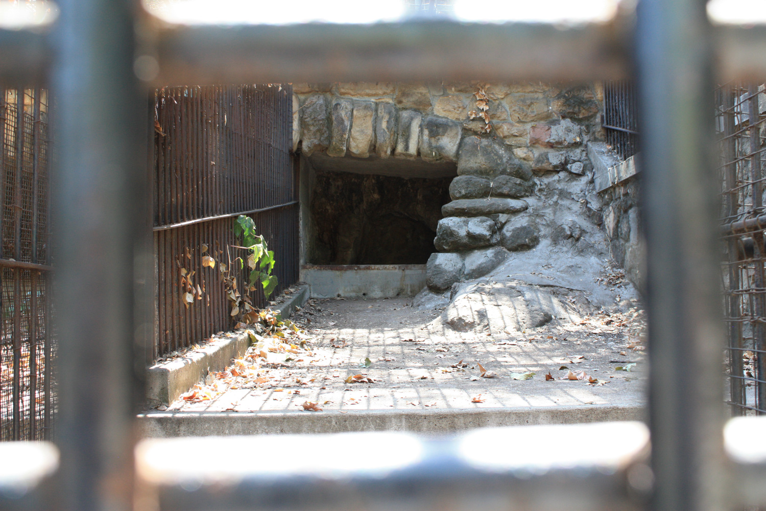
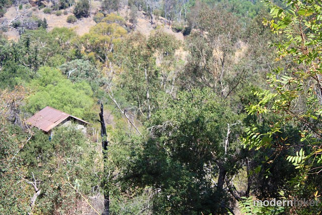
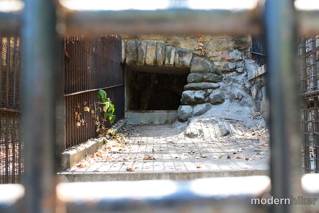
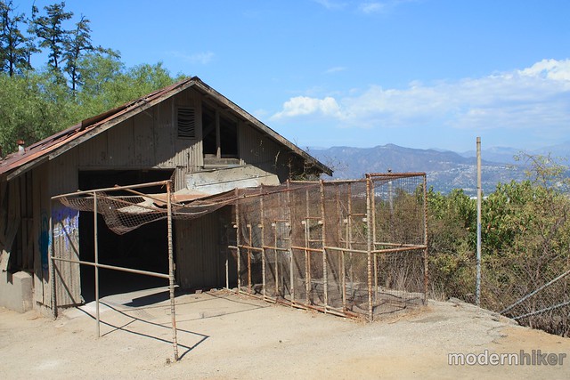
You’ll stay on this old paved road through the zoo and walk by a number of old exhibits and animal cages. The wide green picnic area should be on your left. Most of the buildings you’ll see were built in the 30s by WPA workers, but by 1965 zoos had progressed beyond these basic metal cages and the animals were moved to the more modern grounds of the current L.A. Zoo. But it’s still fun to wander around the ground to see where tigers, macaws, and monkeys once lived:
Eventually as you wander the grounds, you’ll come across this fork in the paved path:
Backtrack to the upper path and walk along the few remaining ruined buildings on your way back to the trailhead. Then, maybe reward yourself with a quick ride on the historic carousel near the parking area … there aren’t many trails in L.A. where that’s a possibility!
Tags: bee rock, carousel, Griffith Park, Hiking, nature, old la zoo, ruins, transit accessible