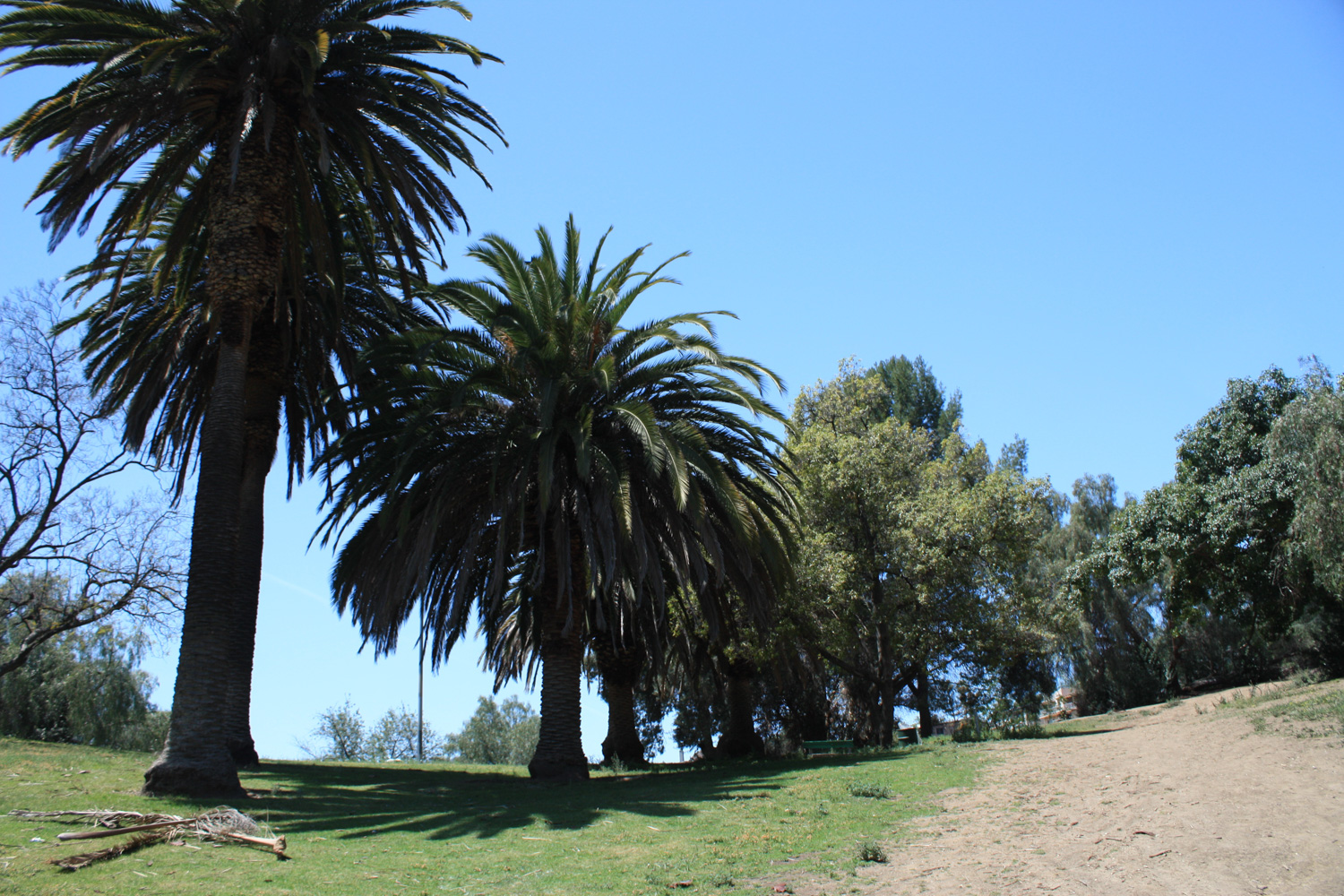
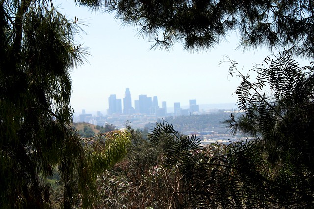
This route in Ernest E. Debs Regional Park is a lovely 5+ mile loop through almost every section of this lovely green space near the Arroyo Seco. Birds are abundant here, and the air will probably be filled with birdsong as you hike its mostly easily-graded trails and fire roads. This park is mostly dog-friendly, has facilities for picnics and fishing, and a top-notch Audubon Center with plenty of activities for kids and kids-at-heart. It’s a great family destination or a place for a quick hike when you can’t make it out further — and it has some of the best views of downtown L.A. you’ll find anywhere.
Ernest E. Debs Regional Park is a 300 acre gem on old ranch land in the Arroyo Seco neighborhood just northeast of downtown L.A. Chances are, you’ve driven past this place dozens of times already and never even knew it was there – and that’s mostly reflected in the park itself, too. For being completely surrounded on all sides by the city, there were long stretches I hiked in this park where I was the only person on the trail.
There are a few different entrances to this park. Surprisingly, for such a small green space, Debs does have several very different feelings depending on what part of the park you’re in. For this route, start in the park’s western entrance near the Audubon Center.
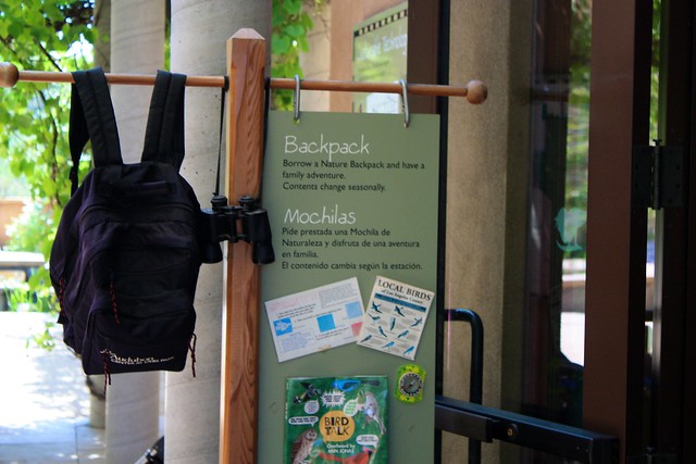
The Audubon Center at Debs has the distinction of being the very first carbon-neutral building built in the United States. It’s worth a stop here before you head out onto your hike – the building is beautiful and the volunteer staff is very helpful. They’ll have maps and recommendations for you … and – in one of the coolest things I’ve seen at any park – free backpacks! If you leave your ID or car keys, you can borrow a backpack for your hike and stuff it with bird guides, notebooks and binoculars!
Please note that the Center is open from 9AM to 5PM, Tuesday through Saturday. When the Audubon Center is not open, the gate to their parking area is closed but the area is still accessible to pedestrians.
If you’re an amateur ornithologist, you’re going to love this park. Not just because of the free binoculars – but I can’t remember a time I’ve ever heard so much birdsong while on a hike. This place is full of the flying, feathered guys – which is even more surprising because it’s so close to the city.
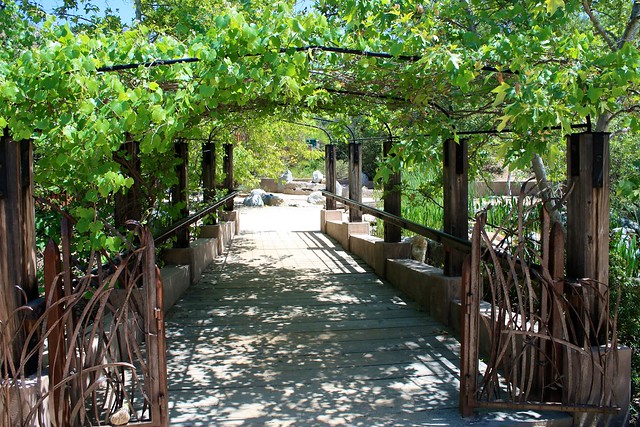
If you’re hiking with kids, you may want to explore the Audubon Center a bit further. There’s an extensive play and exploration area just behind the building with plenty of activities for kids to do – as well as a short Butterfly Trail. It’s a very pretty area that’s definitely worth seeing. The Center also occasionally leads short group hikes and nature walks from here, and you can ask about that at the information desk.
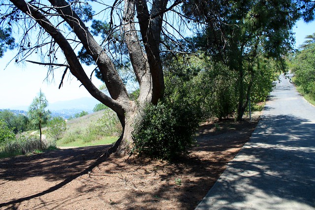
Once you’re done getting your bearings, double back toward the main street and look for the unused paved road and small trail on the right hand side of the road. This will get you onto the Scrub Jay Trail.

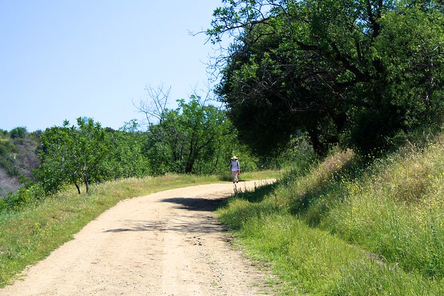
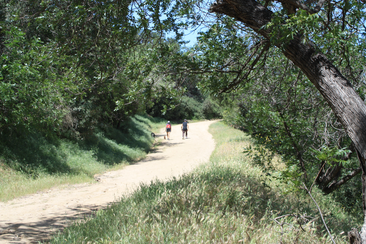
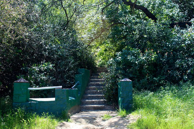
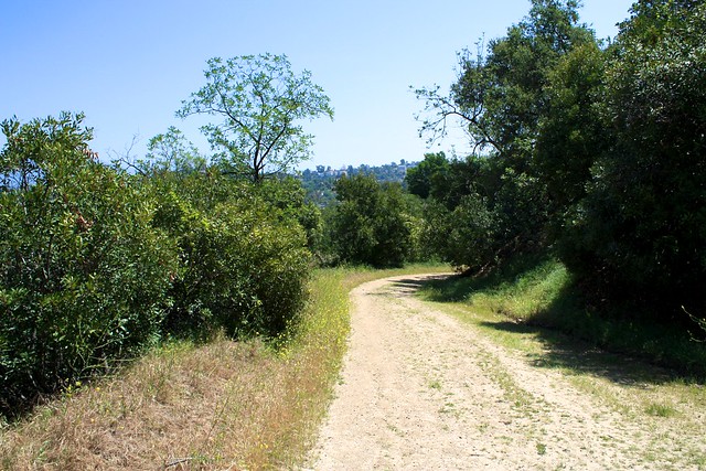
This starts out as a very brief single-track trail just to the east of the unused paved road before joining the road. From here, it’s a well-graded dirt road. Continue on this road. At the 0.4 mile mark (including the distance walking up the entrance road from the street), the trail hits a three-way-junction at a short green staircase in the woods:
Keep as far right as possible and round the sharp corner to stay on the trail, which will keep up a slow but steady incline for another 0.2 miles.

Along this stretch, you’ll start to see some of the great views to the north. Assuming it’s a clear day, you’ll be able to see north past Pasadena and well into the San Gabriels from Debs Regional Park.
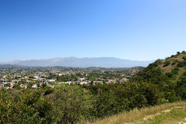
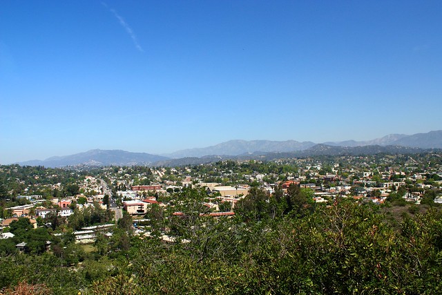
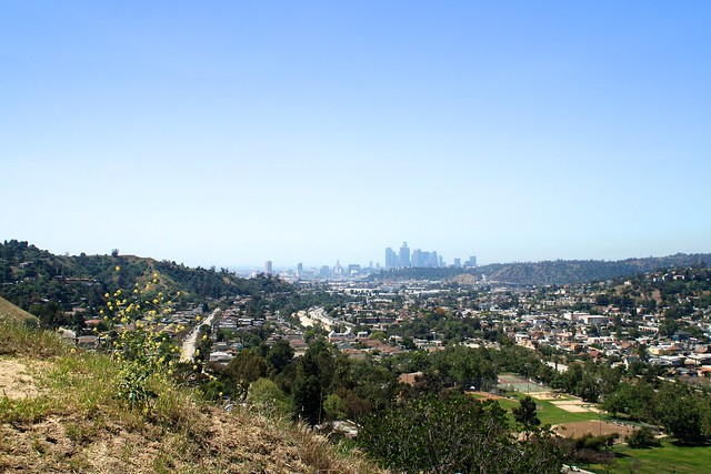
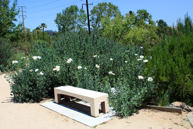
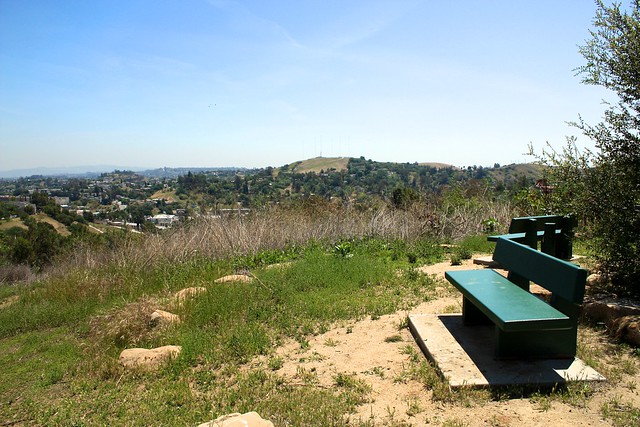
At the 0.6 mile mark, you’ll reach another three way junction at a bench … and you should have a pretty tremendous view south of the skyscrapers in downtown Los Angeles, too.

Backtrack down to the intersection and continue east on the dirt Walnut Forest Trail, again keeping left at the two-way junction with the single-track Oak Grove Trail. This dirt road descends to about 770ft at the 1.4 mile mark, at which point you’ll want to keep right to turn into the Seco View Trail.
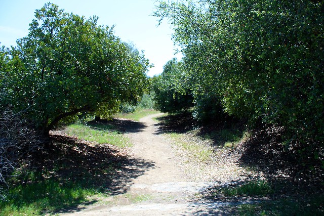
So by now you’re probably getting sick of hiking on fire roads. Well, you’re in luck, because at 1.6 miles you’ll come to a junction with the Oak Grove Trail that looks like this:
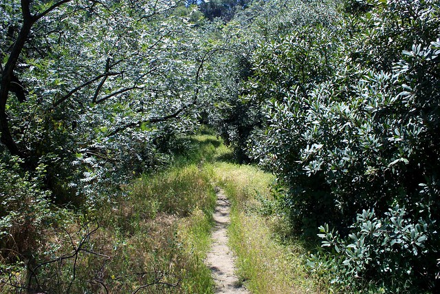
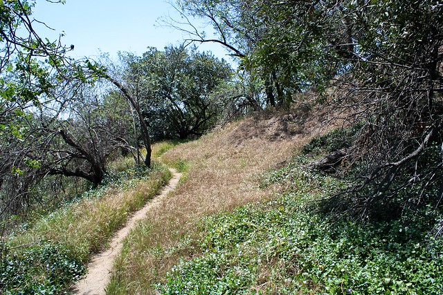
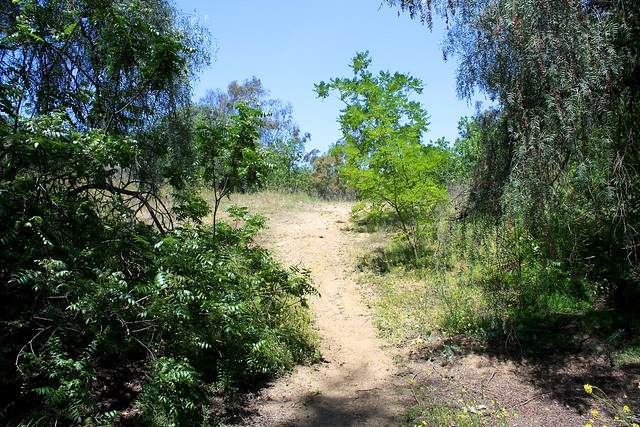
This trail will loop around the northeast corner of Debs Regional Park (and actually leave the park boundaries for short while), but it very quickly turns into a lovely little single-track that hugs the side of the hills.
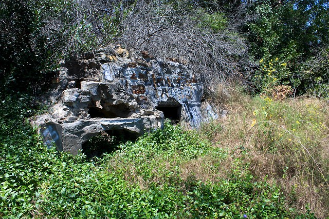
It’s a bit overgrown in some places – and you’ll definitely want to check for ticks if you’re hiking in shorts – but it’s a very well routed and serene stretch of trail. You’ll even pass some old wells and chimneys from the ranch days along the way.

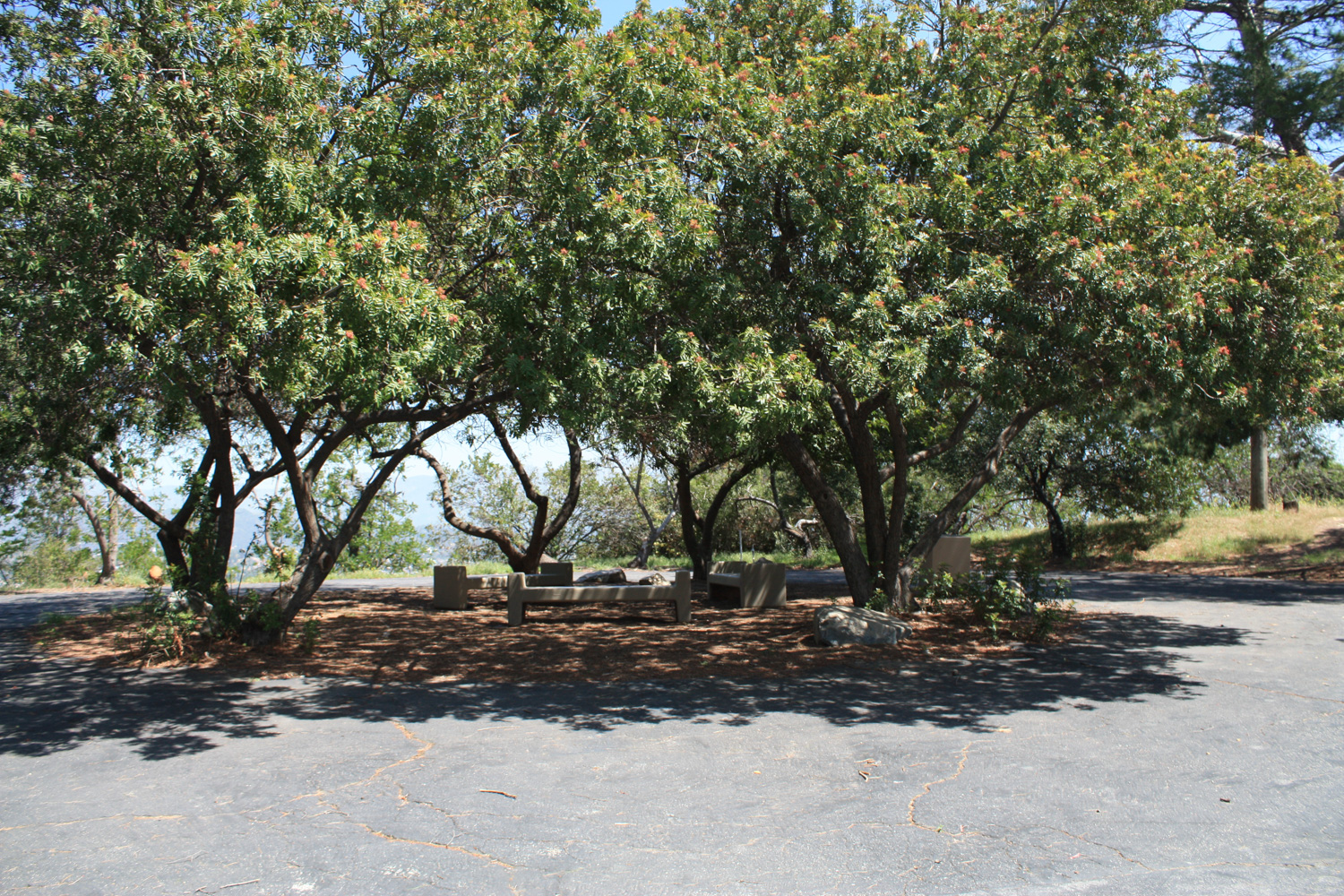
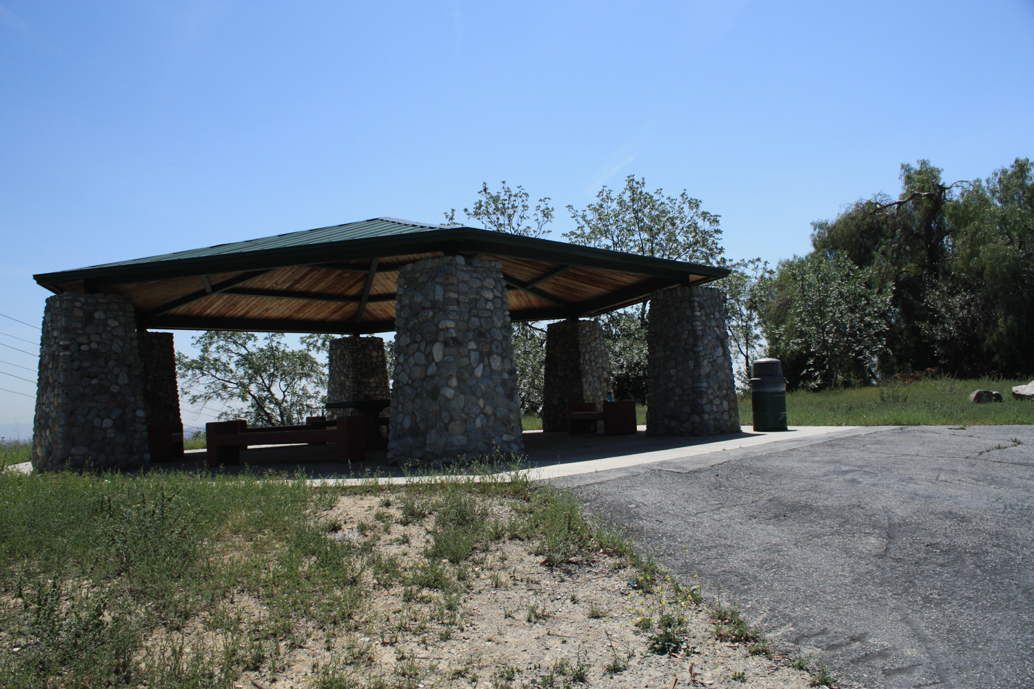
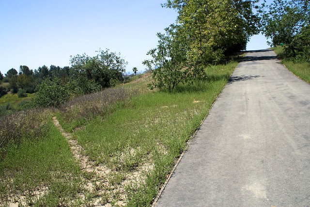
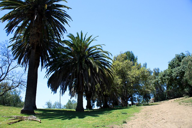
The trail drops you back off near the junction with the paved road to the high-point. This time, head south on the paved road, passing a sizable gazebo along the way. Just past the gazebo, you’ll notice a faint use-trail heading off the paved path. Save your boots some wear and tear and hop onto this – the Valley View Trail.
The Valley View Trail pretty much parallels the paved road for the entire route south but it’s a much nicer path. Not only is it close to single-track in most places, but you’ll also get a lot of nice views of the hills to the east and – if you’ve got good weather – a ton of birdsong, too.

This uncrowded stretch of trail does go all the way to the southern parking lot of the park, but at about the 2.6 mile mark I encountered a few large downed trees. The trail seemed to peter out here, save for a short spur that joined back up with the paved road. You can continue down the paved road to the southern parking lot, which you’ll hit in another 0.2 miles.
The southern end of Debs Regional Park is very different than the north. Here, a large parking lot sits directly next to two large, open, grassy picnic areas – stocked with benches and tables, roofed structures, and lots of barbecue pits. You’re much more likely to find ice cream trucks, sunbathers, and birthday parties down here than anywhere in the northern part of the park.
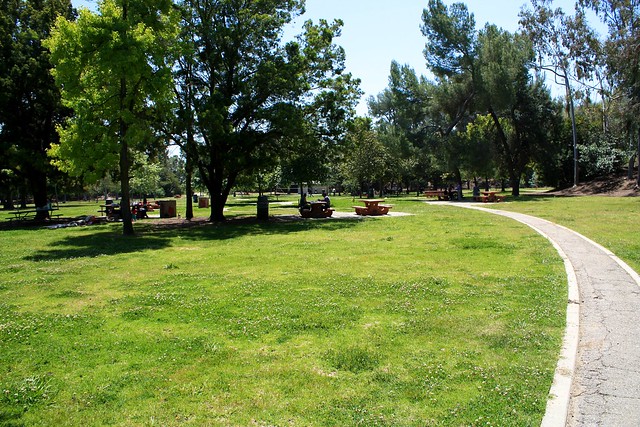
Head south along the paved trails through the first picnic area and you’ll spot another short trail to a second, slightly quieter picnic area. While I saw a few birthday parties in the upper picnic area, the only company I had in the southern section was a couple playing fetch with their dog and a few kids talking to each other on a bench.
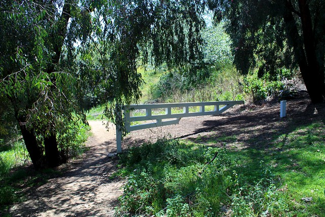
There are a number of trails in the southern end of the park, but they’re not nearly as well traveled as those in the northern end and are therefore a bit tougher to find. I read about a Native American Terrace Garden on the park’s southern boundary and headed toward the southwest corner of the second picnic area, where my map told me a trail began. Look for this white gate near an old dirt road grade and head south.
This short path travels another 0.2 miles to the park’s southern entrance, where the Native American garden is. I’m not sure if I was just too early in the season to see anything or if the garden had fallen victim to slashed park budgets, but what I saw was not definitely not worth the extra journey to this corner of the park unless you’re just looking to get the maximum mileage.
Backtrack to the second picnic area and look for this small dirt path that climbs up a ridge.
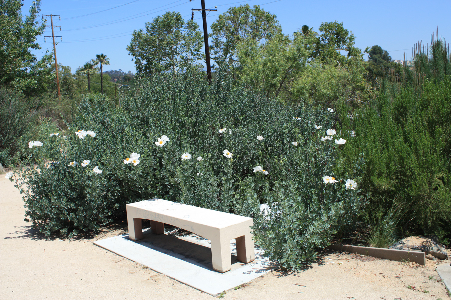
Keep right at the junction just up the first hill to stay on the Rose Hill Trail. This single-track trail winds its way through some brush before climbing another hill and passing an excellent bird-watching bench at the 3.7 mile mark.
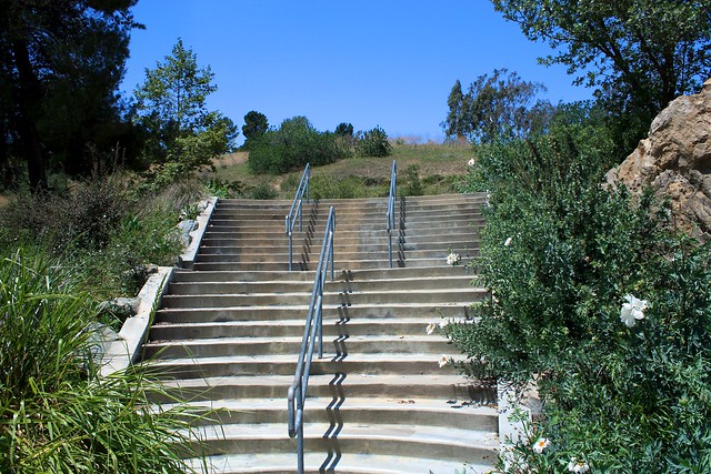
This trail continues to skirt the park’s western boundary before it drops back down another hill to rejoin the northern picnic area’s parking lot. From here, look for a small staircase at the western end of the lot and climb up that to meet up with the Lake View Trail at about the 4 mile mark.
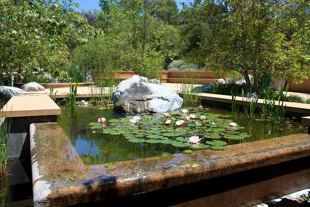
Shortly above the stairs, there’s a junction between the trail and a fire break. For a more direct and steep route, hike up the firebreak, which will spit you out right at the edge of a small pond surrounded by pine trees.

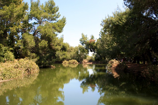
Do a quick loop around the pond or take a seat and relax for a bit. Rejoin the paved path and head north. At about the 4.4. mile mark (or slightly less if you just headed north on the road instead of backtracking a bit like I did), you’ll pass a small bathroom facility. Just north of that, you should see another small single-track on the west side of the road. Hop onto this trail heading west and you’ll quickly find out why it’s called the City View Trail.

At 4.8 miles, the City View Trail rejoins the Scrub Jay Trail. From here, retrace your steps back to the Audubon Center or your parked car.
Tags: arroyo seco, birdwatching, echo park, ernest e debs regional park, garvanza, highland park, Hiking, Los Angeles, montecito heights, mount washinghton, Pasadena, transit accessible