Daley Ranch is a 3,058 acre park perched on the hillsides north of of Escondido. Originally, this land was peopled by the Kumeyaay Indians, who used the area for hunting game and gathering acorns from the abundant oaks throughout the park. As European Settlers accumulated larger portions of land during the middle and late 1800’s, this region fell into the hands of Robert Daley, who established a ranch to which he gradually added more and more property. The city of Escondido purchased the ranch in 1997 and now maintains it as a more or less natural habitat with 25 miles of hiking trails and a few historic buildings for seasoning.
On any given weekend, the park will be full of mountain bikers, hikers, and equestrian enthusiasts seeking to enjoy this rich and varied park. Popular as it is, the park loses little charm from high visitation as its size and scope allow a measure of serenity and solitude to anybody who explores beyond the ranch house. Adding to the park’s accessibility, the Friends of Daley Ranch and the city of Escondido both maintain informative websites that features trail maps (with distances), human history, natural history, and general information.
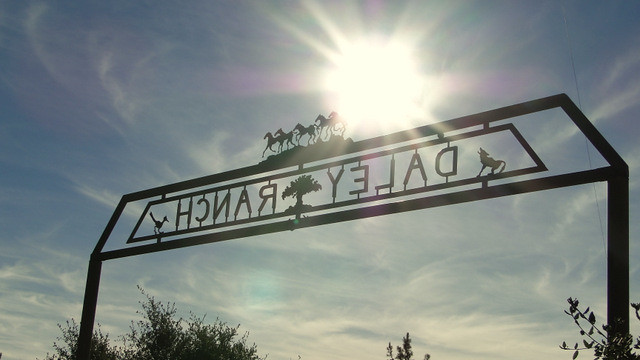
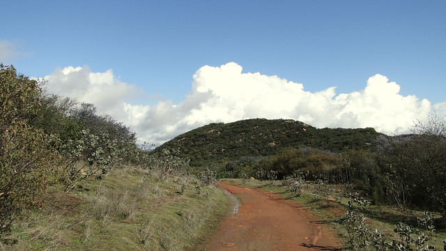
Begin at the parking lot at the end of La Honda Road adjacent to Dixon Lake Park and pass through the ornate wrought-iron gate. Immediately, you have the option of continuing on the paved road or turning right onto the Creek Crossing Trail toward the Sage and East Ridge Trails. Take the right and enjoy the emerging views south over Escondido as well as the spicy aromas emanating from abundant white and black sage. This segment comes alive with a host of wildflowers during wet years.
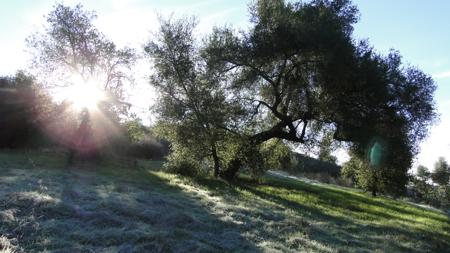
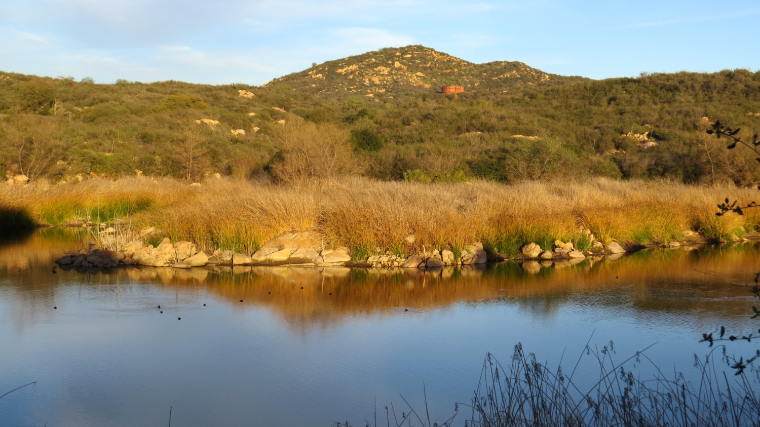
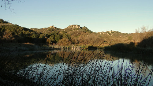
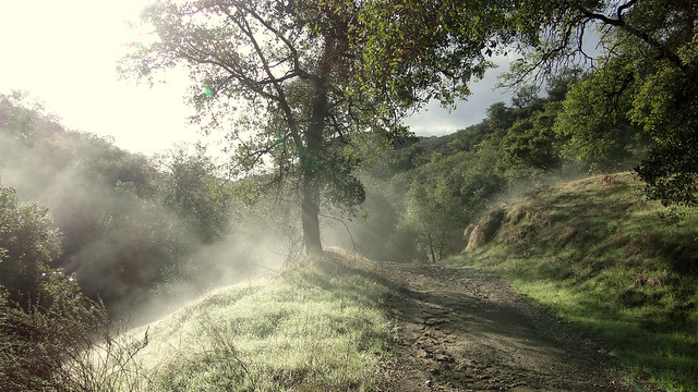
Hang a left on the East Ridge Trail and keep left as the trail undulates somewhat severely for half a mile. Ignore the right turn to the Coyote Run Trail, which will take you far off the track. Soon, you’re passing through a handful of man-made ponds created by the Daleys which now present an inviting habitat for birds and frogs. The amount of water in the ponds usually correlates to how wet the last few winters are, and during a dry year these ponds can dry up altogether.
Now 2 miles in, you will come to a junction with a large ranch house and several smaller buildings, which the city maintains the buildings here as part of Escondido’s historical heritage. An information kiosk that provides information regarding the natural history of the park, warnings about rattlesnakes and mountain lions, and a schedule of guided hikes led by docents. These guided hikes provide a good opportunity to gain a more intimate and extensive understanding of the park’s history and ecosystem.
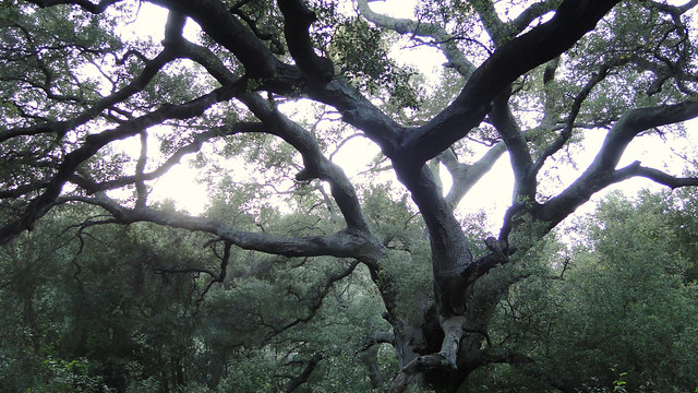
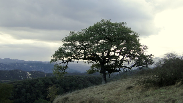
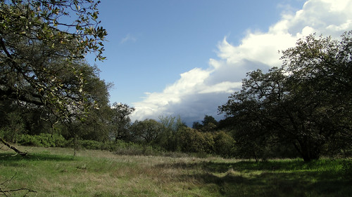
Moving due north, find the trail marker for the Jack Creek Meadow Loop. Both spurs of the loop will get you to where you wish to go, although following the GPS track will lead you off to the spur on the right, which is the more scenic of the two. After quickly passing the junction for the Sage Trail, you will enjoy views west across Jack Creek Meadow, where it’s not uncommon to see deer or coyotes eyeing you shrewdly. Meanwhile, the first specimens of the rare Engelmann oak, once formerly known as the Pasadena oak before urban and suburban development made the name obsolete, begin to appear along more common coast live oaks.
After reaching the end of the meadow, the trail makes a hard, nearly-180 degree turn to join the other branch of the Jack Creek Meadow Loop. Instead of returning to the ranch house (a nice option for a shorter hike), take a right on the Hidden Spring Trail for a grueling ascent that will surely be exhausting on a hot day.
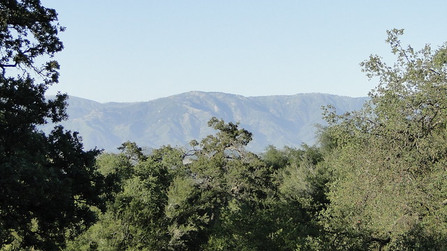
Your reward for all of this climbing comes when you reach the Engelmann Oak Loop Trail, which is a highlight of this hike. This looping segment of old ranch road features many fine specimens of the aforementioned Engelmann Oak. The trail levels out, allowing you to stroll casually beneath a park-like spread of old, twisted oaks shading a thick carpet of grasses. Views toward Valley Center and Palomar Mountain open to the northeast, and, on clear days, Mt. Baldy can be seen in the distance.
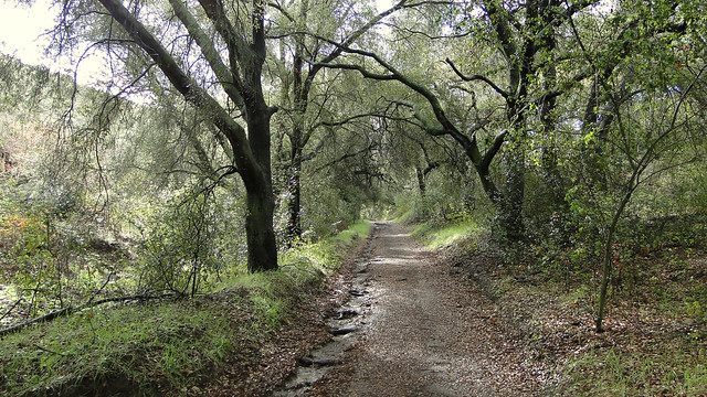
Two options emerge for completing the Engelmann Oak Loop. The fire road labeled “Engelmann Oak Loop” is satisfying in its own way, but the Bobcat Trail which veers left at a junction marked by a sign and a bench is another highlight that should not be missed. This shallow ravine features a dense woodland of oaks along a usually dry watercourse. All evidence of the outside world disappears, and the gentle downhill grade makes this some of the most enjoyable hiking in the park. The Bobcat Trail re-emerges at the Engelmann Oak Loop, where, slightly discouragingly, it begins another tortuous climb up a sun-blasted slope before re-emerging at a junction with the Cougar Ridge Trail.
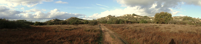
Breathe easy knowing that the bulk of the uphill climbs in Daley Ranch are only a memory. The remainder of the trail undulates occasionally but generally keeps to a ridge overlooking Escondido and, when clear, the ocean to the west. The long stretch on the Cougar Ridge Trail passes through more fine grassy meadows and patches of oak woodland, with occasional bursts of fragrant chaparral. Ignore the rugged and rocky Crest Trail to the left and keep on for another mile before coming to a junction marked by a shaded bench with more views over the east side of the park through which you had been recently strolling.
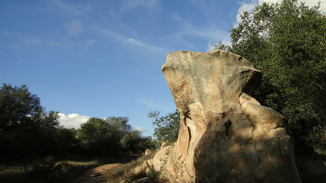
From here, you can go either of two ways along the Boulder Loop. Going left will bring an immediate descent and return to the area near the Ranch House – a shorter route back to the trailhead if you’re feeling fatigued. The right fork passes through a “rock garden” featuring the granite boulders so common throughout much of San Diego east of I-15. These boulders were formed due to millions of years of subsurface geologic activity and became exposed through erosion, and they now punctuate the many chaparral-covered peaks in the center of the county.
After a grassy expanse with more good views south over Escondido, the Boulder Loop Trail begins a precipitous descent before connecting with the main Ranch Road just south of the Ranch House. Turn right to return to the lot where you parked, and wrap up your day at Daley Ranch.
Updated with 1st revision: 3/19/2018
Tags: Boulder Loop, Cougar Ridge, Daley Ranch, dog-friendly, Engelmann Oak, Engelmann Oak Loop, Escondido, Hiking, Jack Creek Meadow, Photography, Sage Loop, San Diego County, southern california, Trail Write-Ups, wildflowers