Hugging the coastline just off the PCH, Malibu’s Corral Canyon has the distinction of being the last canyon in the Santa Monica Mountains that has a completely undeveloped watershed that flows freely into the Pacific Ocean. And yes, that sound like a very specific thing, but you don’t need to memorize the honorifcs if you’re headed here – all you need to do is enjoy the 1000 acres of surprisingly solitary terrain, tremendous views of the canyons and Pacific Coast, cool ocean breezes – and at the end of the hike – maybe some post-hike seafood.
There are more trails planned for this region, but for now the only trail in Corral Canyon is the Sara Wan Trail – a 2.5 mile loop that has a decent climb and some very nice views along the way. Park at the trailhead lot ($5 self-pay) or along the Pacific Coast Highway, paying attention to the sporadic “no parking” signs along the road.
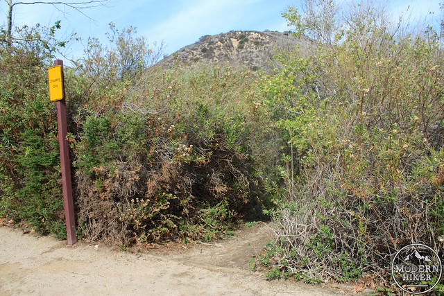
For as small a park as this is, the actual trailhead is a little unclear to spot. The most prominent walkway leading away from the trailhead lot is a short path underneath the PCH to neighboring Dan Blocker State Beach. On the north side of the lot just beside a parking spot reserved for loading there is a small clearing in the brush that quickly descends to a creekbed – that’s the start of the trail.
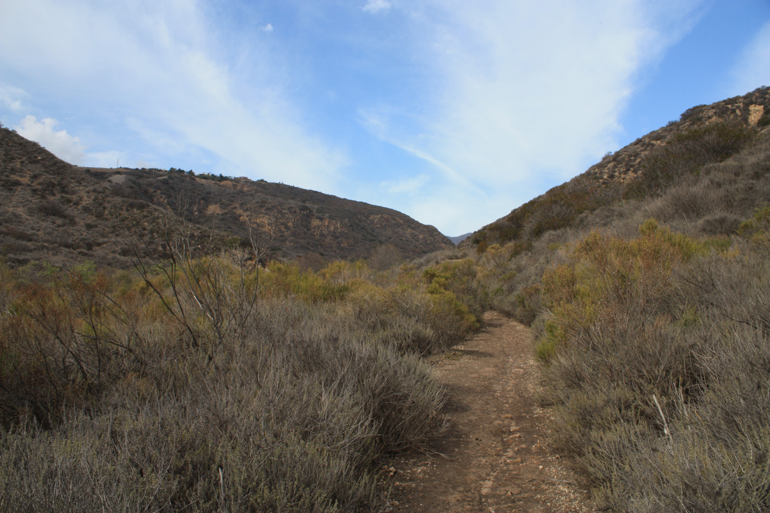
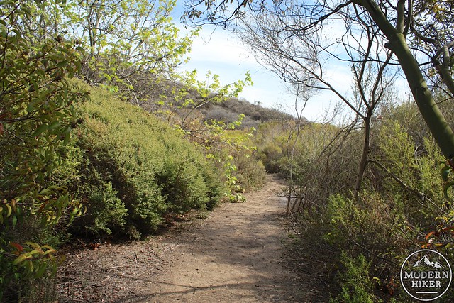
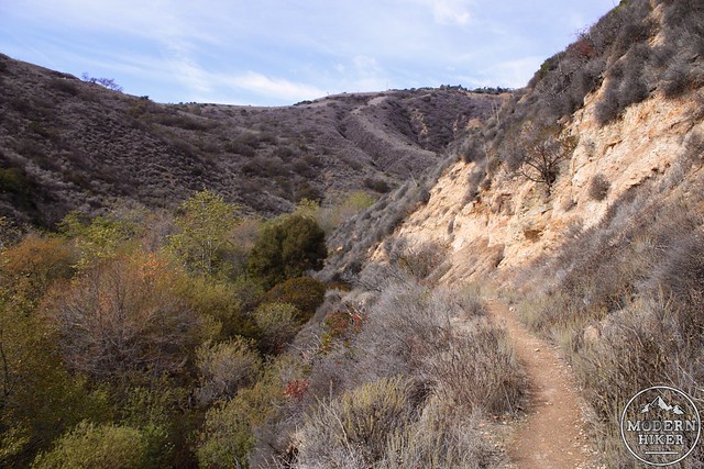
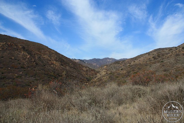
The trail hops over Corral Canyon Creek and then starts to become a bit sunnier as you turn north into Corral Canyon – here, some coastal scrub starts to take over and California Bay Laurel shows up in the mix, adding even more wonderful scents to the area.
Stay left at the junction to continue the loop trail in a clockwise direction. Although both approaches are fairly similar in terms of elevation gain and difficulty, there are more pay-off views near the end of the route if you go clockwise.
The trail makes a slight drop before starting its 486 foot switchbacking climb here. As you continue, the views of the interior canyons will slowly open up – but also be sure to turn around every once in a while to get some very nice views of the Pacific Ocean through the mouth of the canyon.
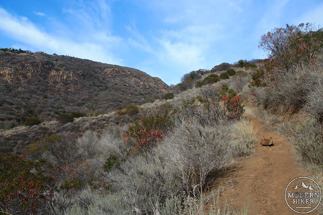
The Corral Canyon trail makes five long switchbacks as it climbs up the east slope of the canyon to the high point of the trail at 525 feet. The trail here isn’t overgrown but the borders are fairly grassy. That, combined with the fact that the trail appears to be not quite as popular as other nearby routes, means that the edges of the trail may have some ticks waiting for you if you’re hiking in the warm months. There were quite a few of them out when I hiked this in early March – so just keep your eye out for them or better yet, roll your pant legs into your socks just to be safe.
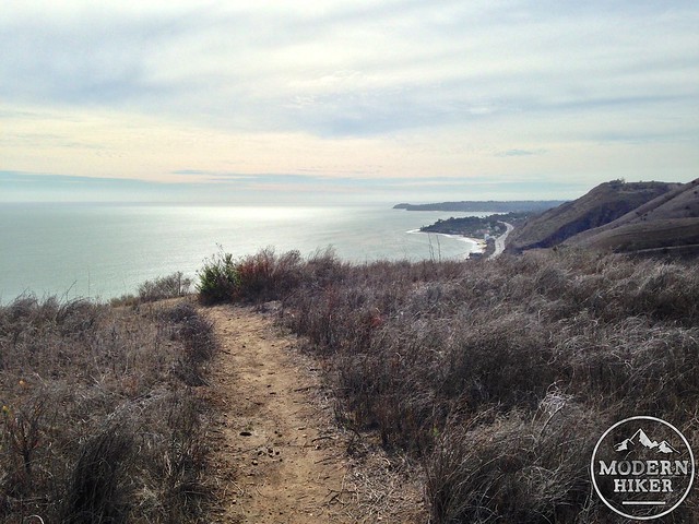
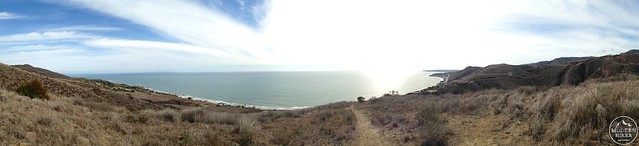
At just past the 1.5 mile mark, look for a short spur trail that leaves the main trail. This will take you up to a flat section of a nearby firebreak that’s also an incredible viewpoint – with a full vista of the coast from Point Dune all the way to Palos Verdes.
From the vista point, return to the main trail and follow it as it makes some broad switchbacks down the southern slope of the hill and back to the canyon.
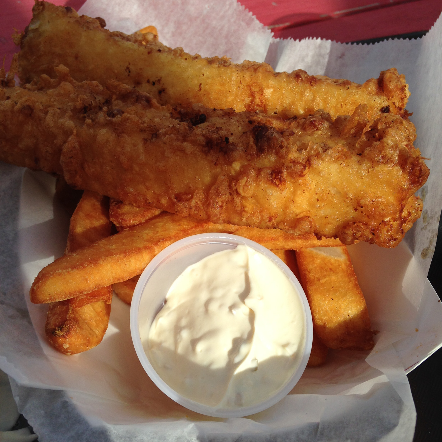
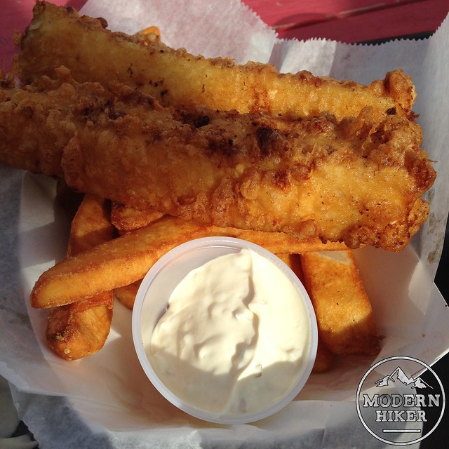
When you’re done with the hike through Corral Canyon, you may also notice the smell of fried seafood mingling with all those coastal sages. If you do end up getting hungry, the trailhead parking area is directly next to Malibu Seafood – and the fish and chips are pretty darn good after a day of hiking.
Tags: california, corral canyon, dog-friendly, Hiking, Los Angeles, Malibu, Pepperdine University, Santa Monica Mountains, Sara Wan Trailhead, transit accessible