Beautiful San Mateo Canyon lies in the heart of one of the few coastal California wilderness areas. This deep and rugged gorge occupies the southern third of the Trabuco District of Cleveland National Forest, and it protects one of the largest undisturbed watersheds in Southern California. The canyon’s remote location and relatively small number of visitors means hours (or days) of solitude for adventurous day hikers and backpackers.
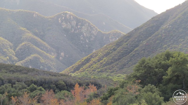
This 6.6 mile trip travels along the shortest route to the bottom of the canyon and continues on a partial traverse west toward the boundary between public lands and Camp Pendleton. Along the way, you will pass through miles of undisturbed old-growth chaparral, riparian woodlands, trickling creeks, shallow ponds, and a number of excellent backpacking campsites that make the canyon an excellent location for overnight camping.
There are several ways to enter San Mateo Canyon, including the Bear Canyon Trail – which doubles as the trailhead for Sitton Peak, the Tenaja Falls Trail, the Tenaja Canyon Trail, and the Fishermans Camp Trail. This route focuses on the shorter, no-nonsense Fishermans Camp Trail, which drops about 500 feet to Fishermans Camp at the confluence of Tenaja Canyon and San Mateo Canyon. Each of the other routes is a satisfying endeavor in its own way, but all represent a considerably larger expenditure of time and energy.
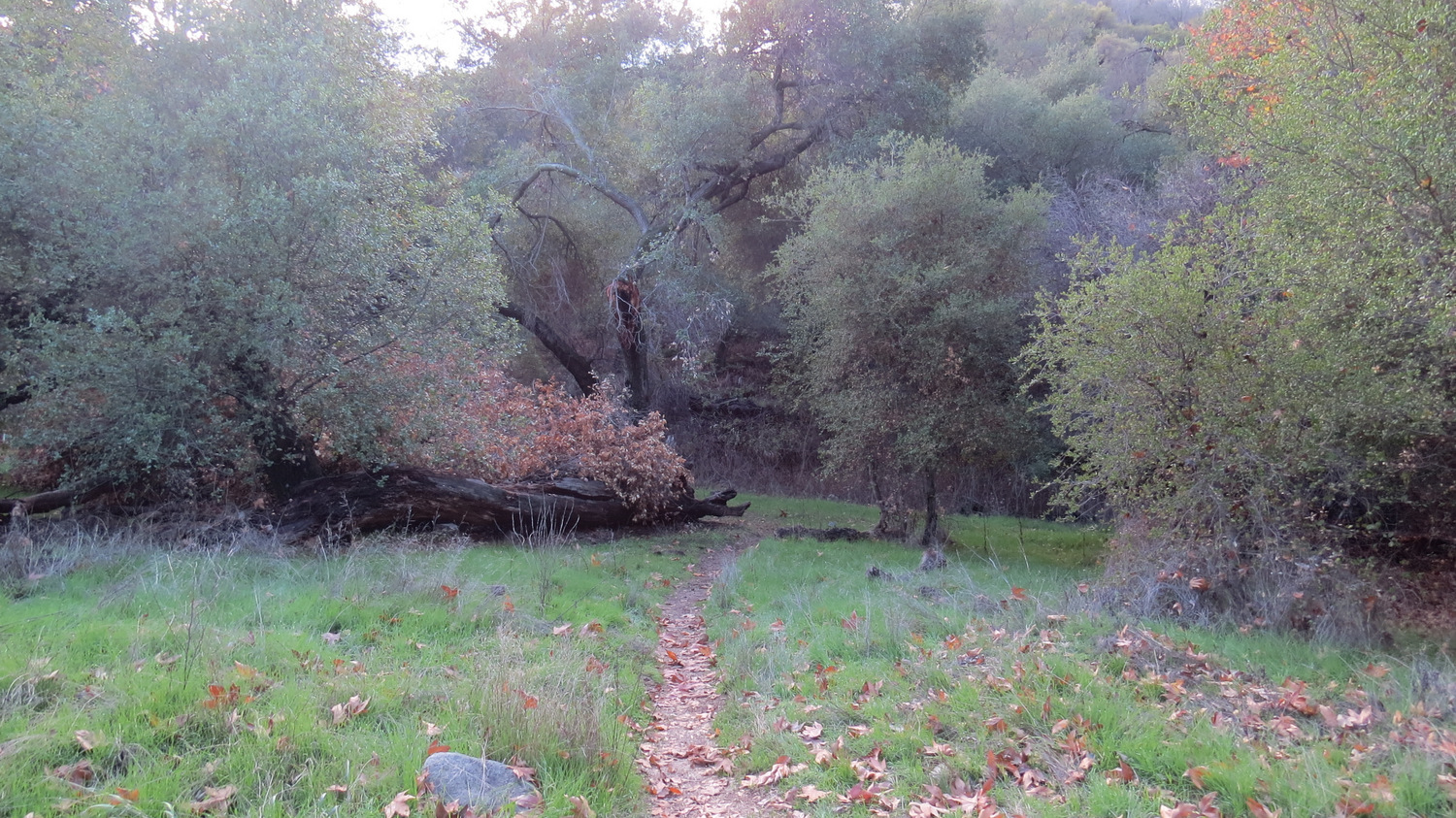
Fishermans Camp
After parking and displaying your Adventure Pass at the Fishermans Camp Trailhead, pass the large boulder in the middle of the old road bed and commence contouring along the southern wall of San Mateo Canyon. This trail occupies an old road bed that once served as an access road to Fishermans Camp. The camp used to be a drive-in site that catered to fishermen looking to catch steelhead trout in the canyon. After the conferral of wilderness status, the Forest Service began maintaining the road as a trail. Now, the only camping done at Fishermans Camp is backpacking. No fires are allowed.
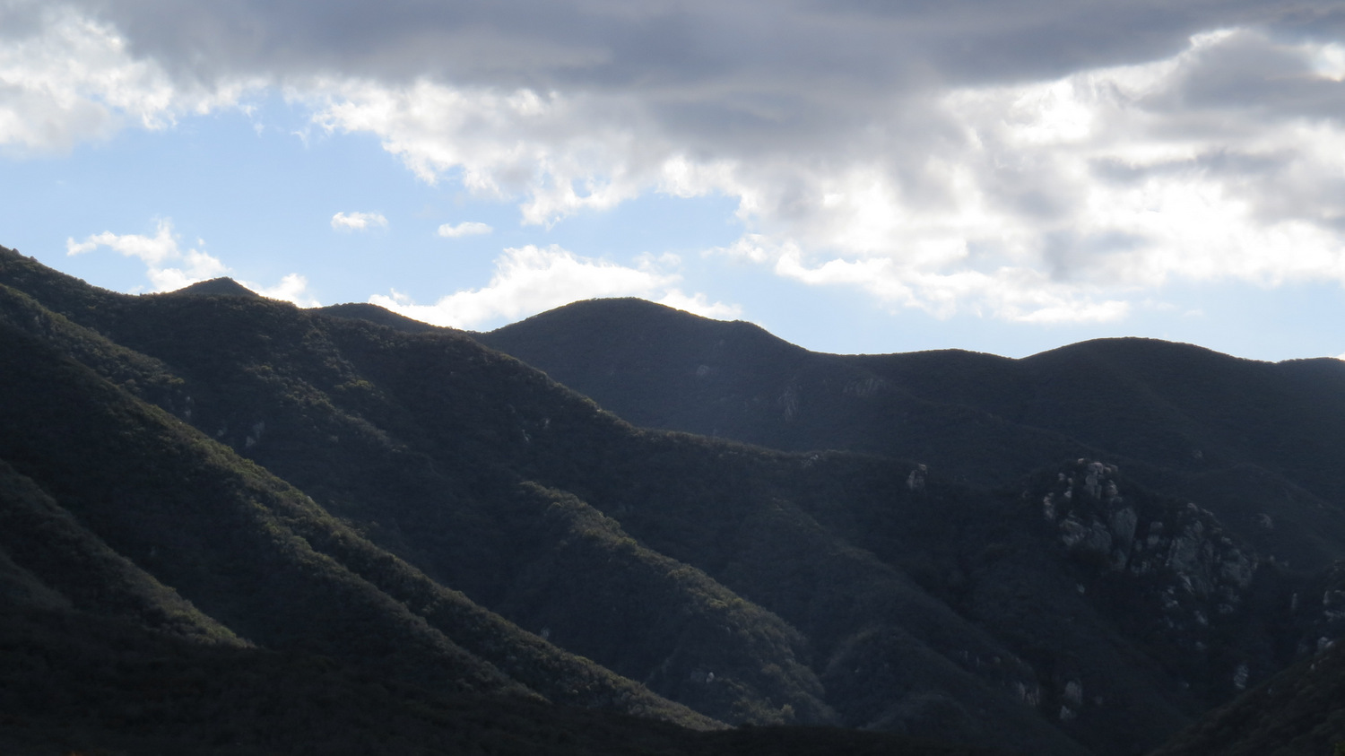
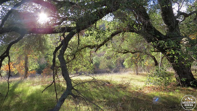
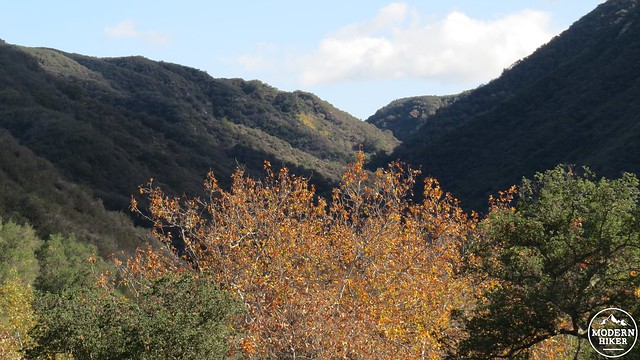
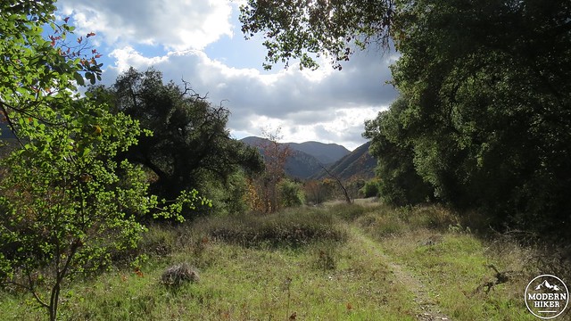
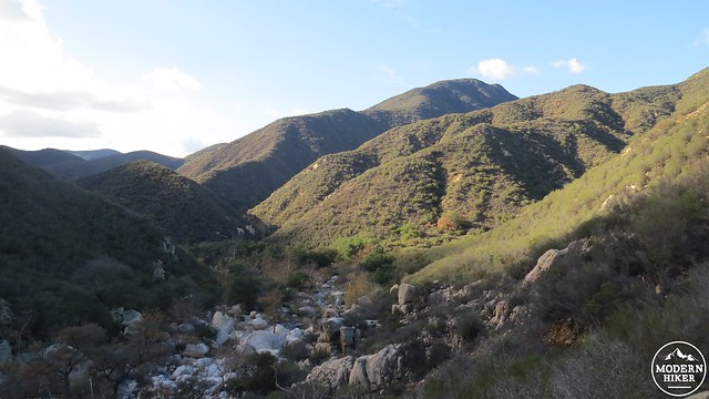
San Mateo Canyon on the descent from the trailhead
Fishermans Camp, which is 1.7 miles down from the trailhead, is one of three excellent backpacking sites along this route. Fishermans Camp lies at the confluence of Tenaja and San Mateo Canyons, and during wet years, this area can hold all the water you can hope for. During drier years, backpackers will have to walk a ways down or up canyon in order to find water. Day hikers will enjoy the cool shade and lush green winter grass or spring wildflowers at this beautiful spot. Fishermans Camp also offers the option of a relatively easy side hike over to Tenaja Falls, which is one of the more dramatic physical features of the wilderness with a 150 cascade over a rocky cliff.
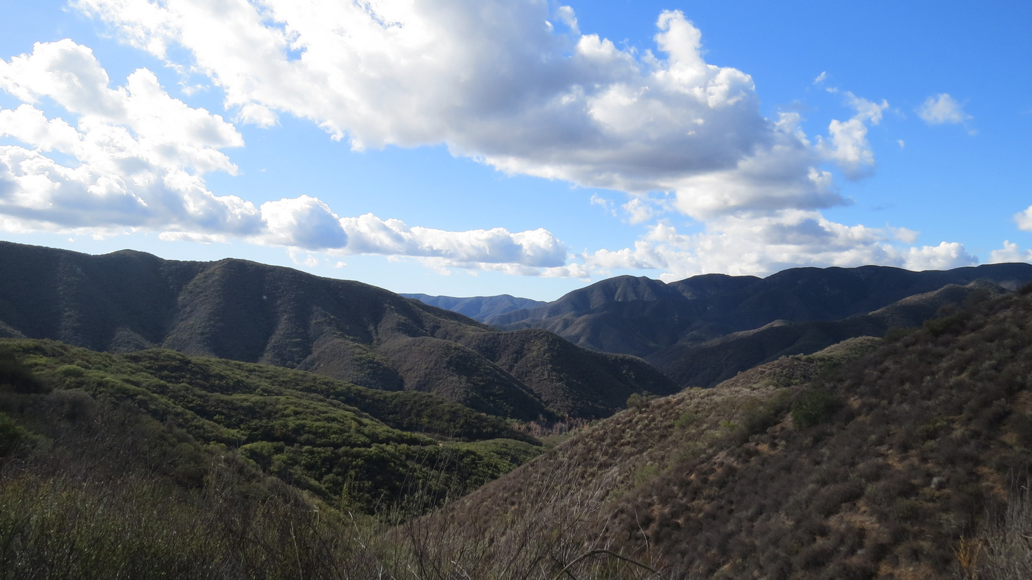
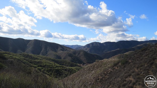
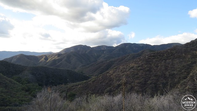
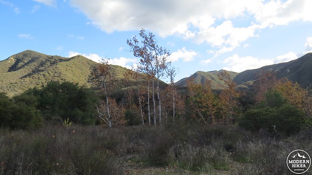
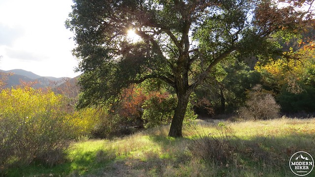
View up Tenaja Canyon climbing out of Fishermans Camp
Fishermans is a good spot to stop and get a sampling of what the canyon has to offer, but if you are looking for a more involved adventure, continue through the camp to come to the junction with the Tenaja Canyon Trail/South Tenaja Trail. The continuation of the San Mateo Canyon Trail will be off to the right. Take the right and commence a gentle ascent that climbs up along the south wall of the canyon to avoid a particularly rocky stretch of the creek. Along the way, you will enjoy views of the canyon wall towering up to 1,000’ above your head while the chaparral around you releases pungent scents from abundant black sage and coastal sagebush.
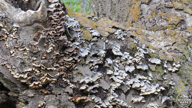
Fungus on a rotting oak
The trail reaches a crest and descends a handful of switchbacks to return to the bottom of the canyon. At the bottom, you will enter a dense and overgrown section of trail that runs along the creek. I suggest you be on the lookout for ticks during the wet season when passing through as this is just the sort of place where a tick will look to hitch a ride. After passing through the tall grass shaded by alders, sycamores, and live oaks, cross a section of the creek that usually holds water before coming to a junction with the North Tenaja Trail.
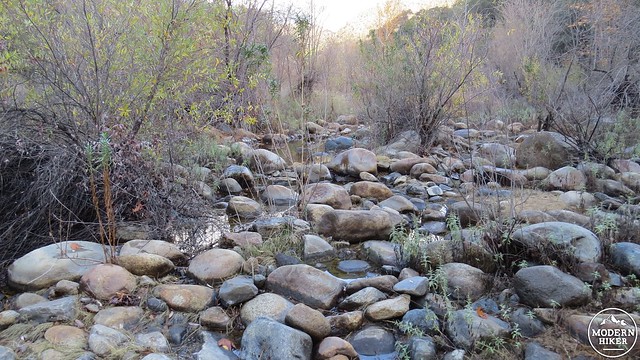
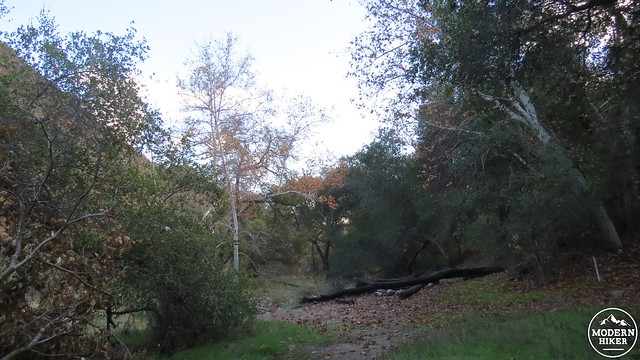
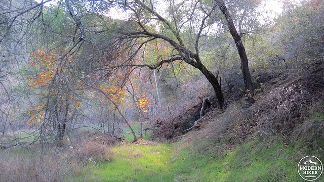
Creek crossing just before the second camp
Directly across from the North Tenaja Trail is the second of the three backpacking locations along this route. This spot is also the most beautiful of the three sites contained in this trip. This sandy spot sits along a bend in the creek that pools up after a few decent rains, providing an abundant water source for your camp. I once spent a cool, moonlit February night at this spot serenaded by a chorus of frogs.
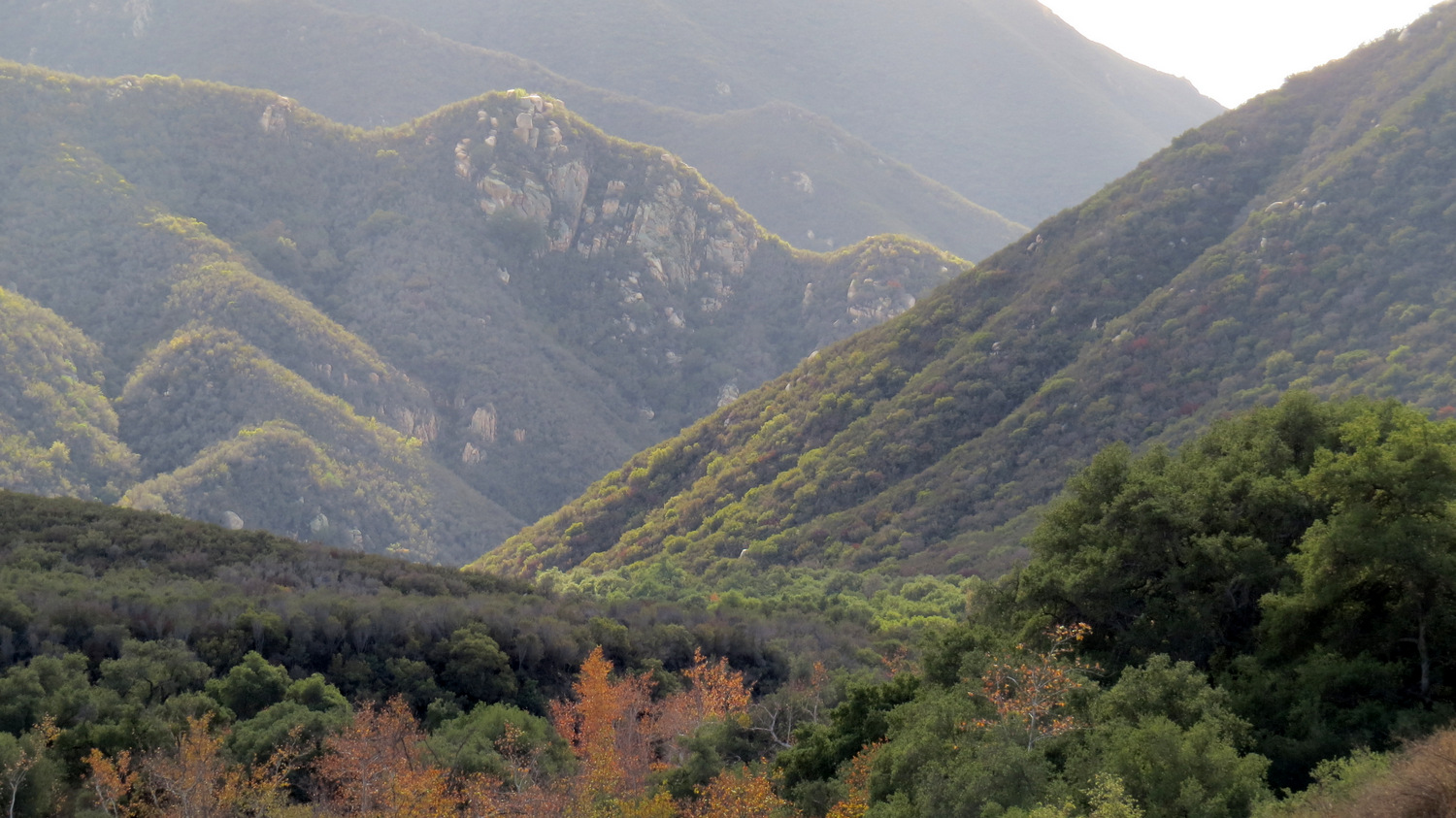
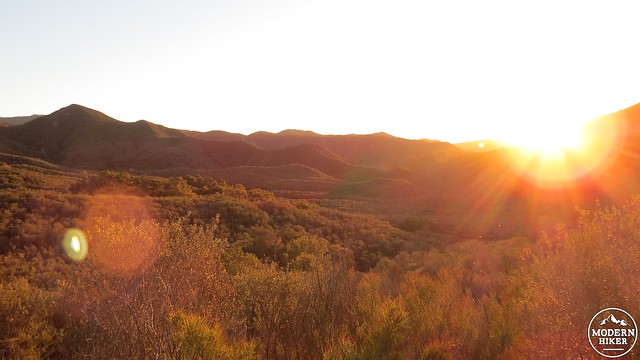
Just before the canyon opens up
The trail continues past the junction and does a touch more climbing before emerging at a spacious segment of the canyon where the floor widens into an expansive and attractive savanna. The trail gets a bit rougher and overgrown, but the scenery compensates as you will be passing under spreading oak boughs and tall sycamores with their papery leaves rustling in the breeze. You’ll spot more pools down below, and a side trail drops down to the pools to allow you to tank up on water or cool your feet.
The trail approaches the entrance of another significant tributary canyon that also features a junction with the knee-murdering Bluewater Trail. Bluewater Trail drops down from Four Corners in what is initially a gorgeous passage through grassy plains and oak woodlands before dropping down a slippery, treacherously steep descent. You won’t have to worry about this, as the final camp is along the San Mateo Canyon Trail just past this junction. Follow the trail a mere .10 mile past the junction until reaching an overgrown use trail branching off to the left.
This trail leads to another sandy spot that is more open and less secluded than the second campsite, but only slightly less beautiful. In fact, the views here are more enjoyable. A large rock, commonly referred to as “Lunch Rock,” offers a nice vantage point from which to admire the rolling walls of the canyon carpeted in chaparral rising up all around you. There may or may not be water here, depending on recent rains, but water is only a half mile back the way you came.
Down canyon
You have the option to continue down San Mateo Canyon from here if you want more options for exploration. The trail gets progressively rougher as the canyon gets narrower and wilder. This trail continues for another 3 miles past the Bluewater junction before it junctions with the poorly maintained Clark Trail. After that junction, the trail more or less disappears, but more adventurous types can follow the canyon up until the boundary with Camp Pendleton, where access is forbidden. From whichever point you choose to stop at, turn around to retrace your route back to Fishermans Camp and then back up to the trailhead.
Note:
– An overnight backcountry permit is required to camp in the San Mateo Canyon Wilderness. This page has the form, which you can download, print, fill out, and fax to Cleveland National Forest at (951) 736-3002. They will mail the permit back, and you will be good to go.
Tags: Bluewater Trail, Fishermans Camp, Lake Elsinore, Murrieta, San Mateo Canyon, San Mateo Canyon Wilderness, Santa Ana Mountains, Tenaja Canyon, Tenaja Road