Corte Madera Mountain is a fine introduction to the Pine Creek Wilderness, which occupies a substantial portion of Cleveland National Forest’s Descanso District south of Interstate 8. While the most prominent feature of the wilderness is Pine Valley Creek and its attendant canyon, Corte Madera and its sister peak Los Pinos Mountain form high points from which to survey the wilderness and much of the rest of San Diego.
In addition to the fine views, Corte Madera’s dramatic south face plays host to a number of nesting birds of prey, including falcons, hawks, and golden eagles. These birds tend to nest during the late fall, winter, and early spring months. Cleveland National Forest has introduced seasonal closures along the mountain’s sheer cliff – a temptation for rock climbers – and those closures extend to the extreme edge of the summit. If you are lucky, you may spot one of these raptors soaring over the canyon below.
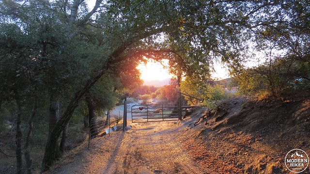
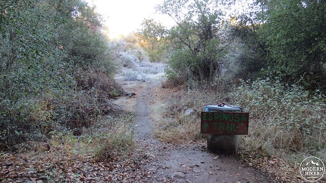
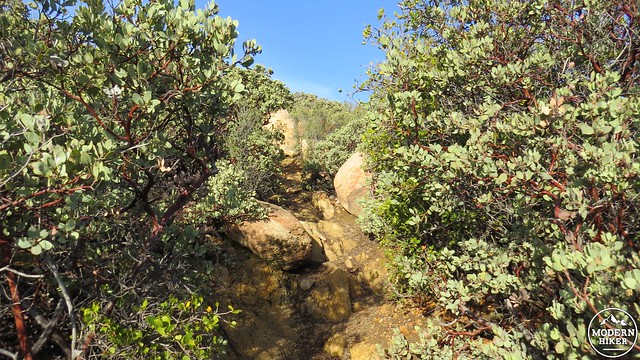
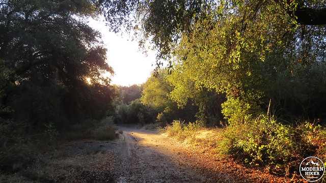
Starting from the smattering of parking spots along the shoulder of Corral Canyon Road, make your way past the locked gate to follow an old dirt road through a dense woodland of coast live oaks. This road ambles along pleasantly for a stretch past more oaks and a patch of tree-sized manzanitas before coming to a hairpin turn and a junction for the Espinosa Trail. Continue straight on the Espinosa Trail – the hairpin turn to the right will take you to private property – and begin a moderate climb through chaparral. Views back over the Lake Morena area and the desert beyond will open as you climb toward a saddle between Los Pinos Mountain and Corte Madera.
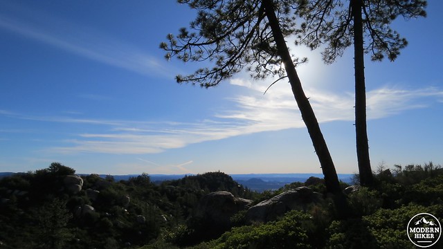
Corte Madera Mountain
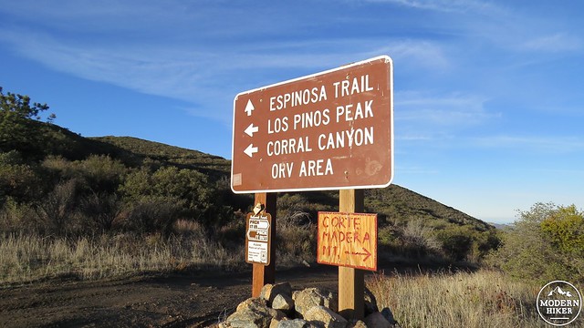
At the junction, the Espinosa Trail continues straight ahead, while Los Pinos Mountain Road veers off to the left. Turn right to continue climbing along the northern extension of Los Pinos Road, which will eventually dead-end. As you walk this road, the impressive cliff on the south face of Corte Madera looms on your left, while the pine-studded ridgeline beckons you on. Before the road ends, you will reach the single-track, user-created trail to the summit branching off on the left. You can identify the trail by looking for a sign advising you to be mindful of nesting raptors.
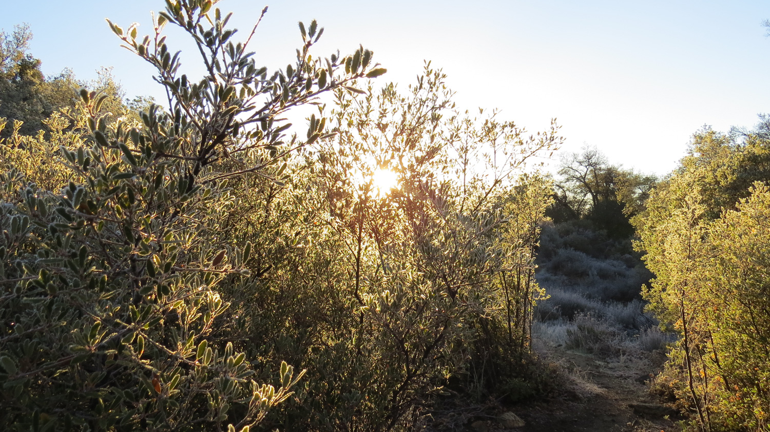
This is pretty much what the trail is like from here on out
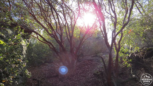
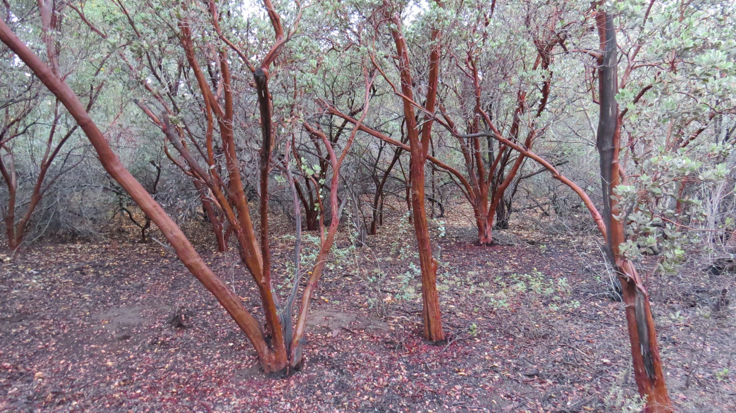
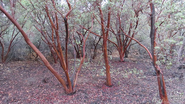
Some gorgeous manzanitas
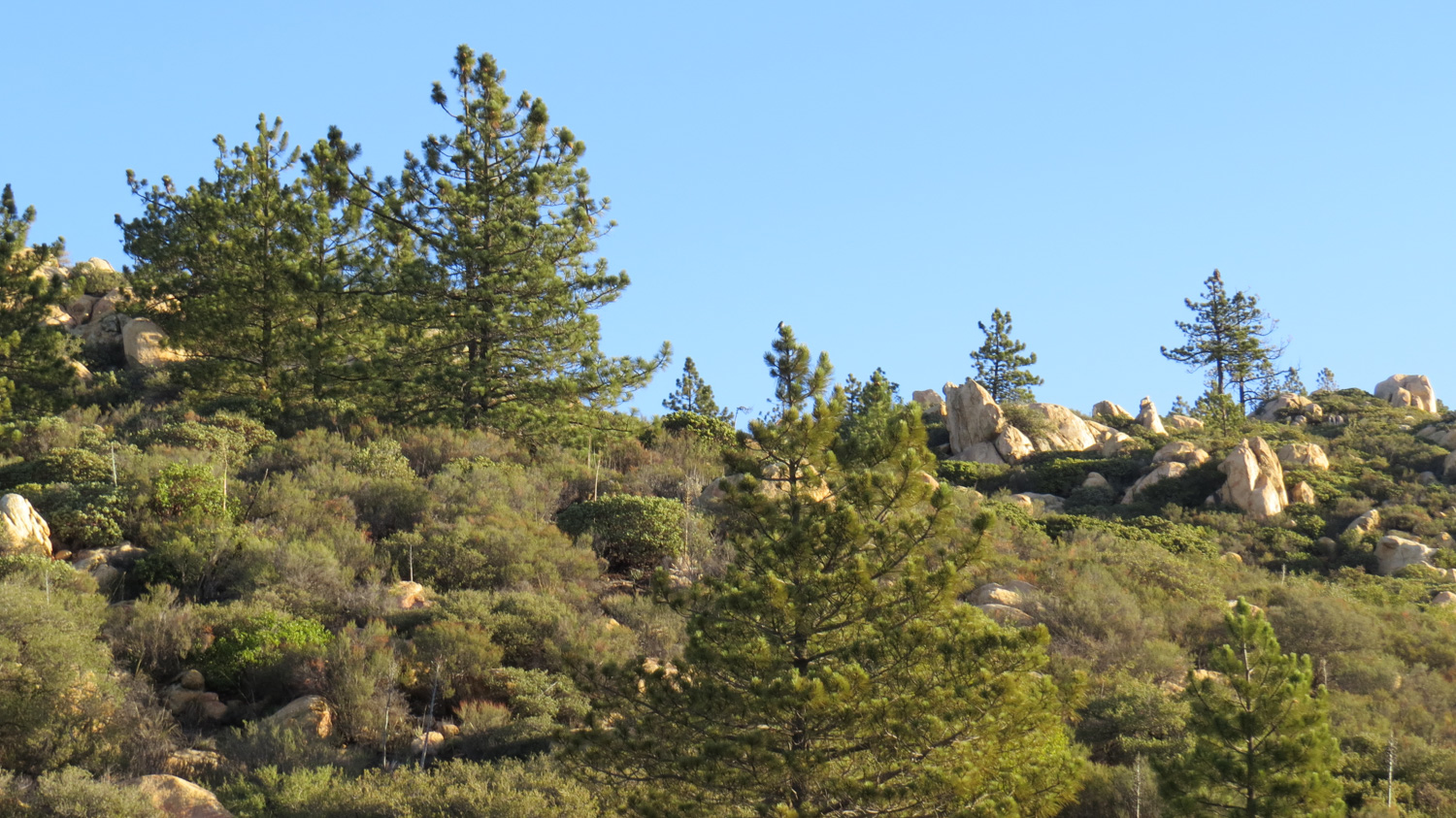
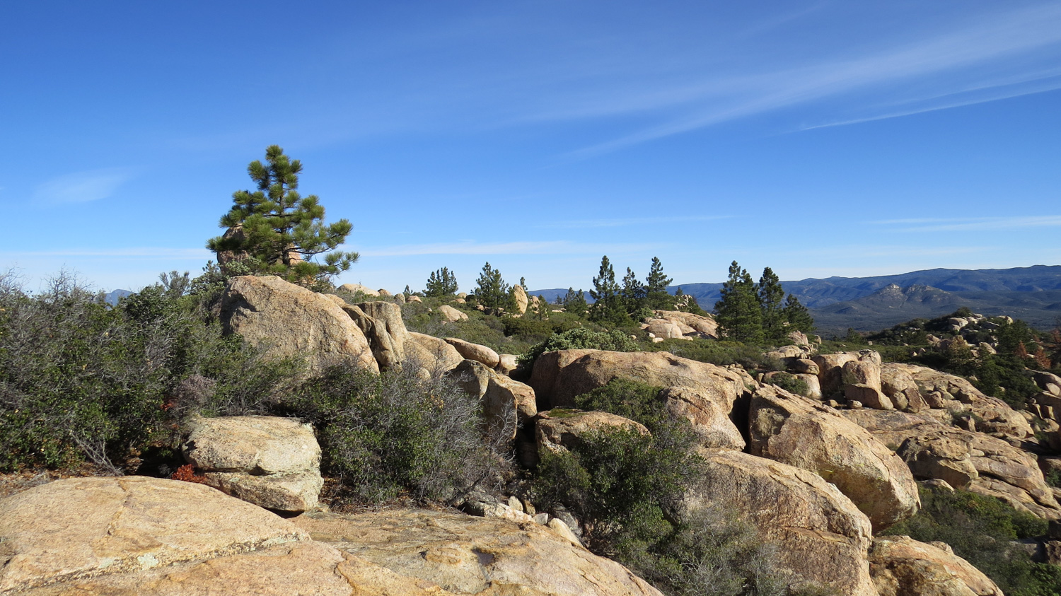
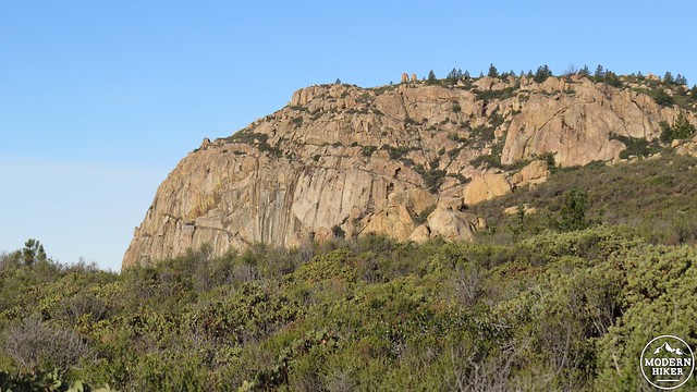
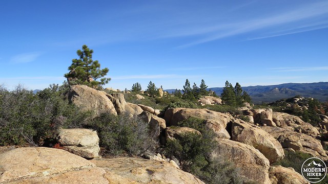
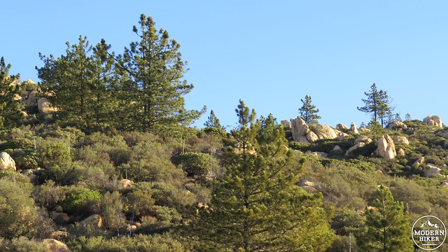
The condition of this unofficial trails varies from decent to poor. Hikers have kept it maintained through frequent use, but the trail is still rough and difficult in a few spots. You will continue to climb through dense chaparral dominated by manzanita. Scattered Coulter pines rise out of the pale green carpet of shrubs with their menacing pine cones clinging to their branches. The trail rises toward a boulder-studded, pine-crowned peaklet and then passes around its north slope to plunge into denser, shadier vegetation.
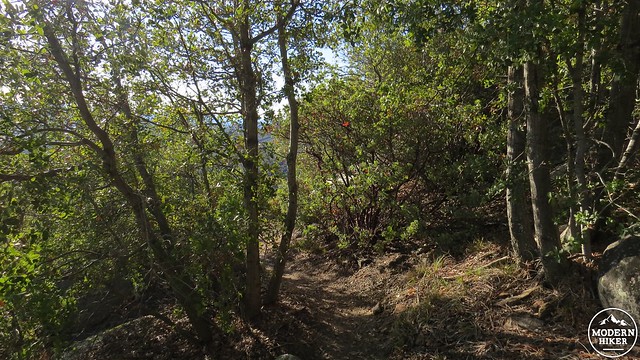
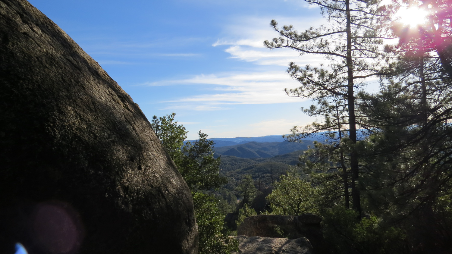
The trail wraps around this peak before dropping through a somewhat sketchy section along a cluster of massive granite boulders. When it emerges from the other side of the peaklet, you will see the undulating ridgeline laid out before you. The next 1.5 miles include gentle undulations through thick growths of chaparral with numerous Coulter pines and boulders punctuating the mountain’s rugged spine. Views north and south will invite your gaze, even though the trail is fairly rough through this area and will demand your concentration.
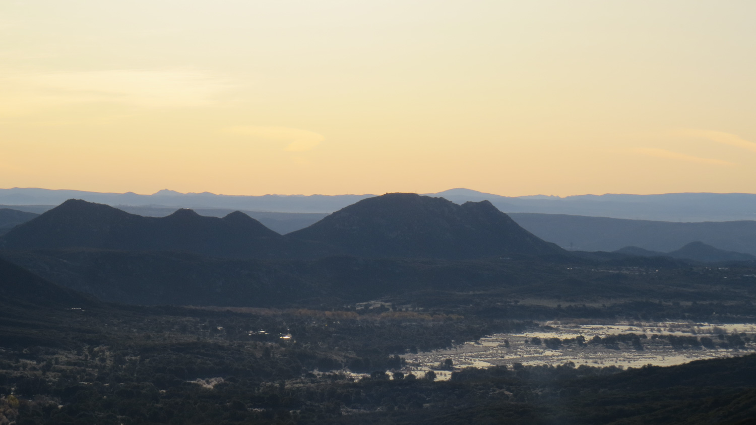
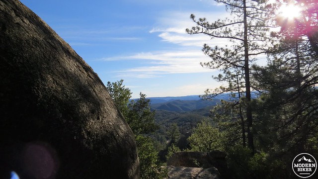
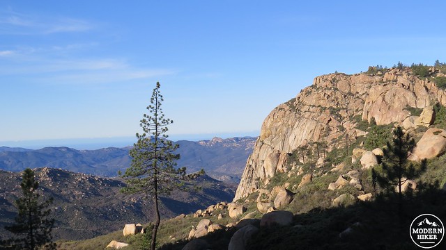
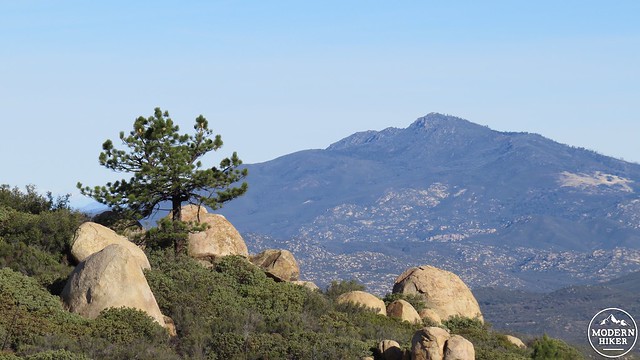
From the summit
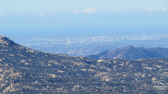
Downtown San Diego
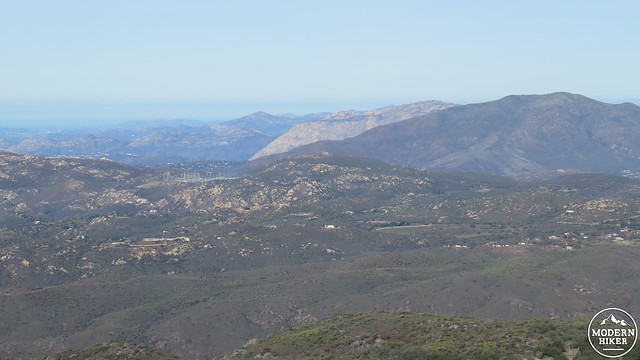
Slightly left of center is Iron Mountain. The beige ridge is El Cajon Mountain. The dark green mountain on the right is Viejas Mountain
The trail terminates at a cluster of boulders just before the edge of the cliff. There are a number of places to sit and enjoy the spectacular view unfolding below you. Looking west, you will see a string of noteworthy peaks parading into the shallow canyonlands along the coast. This includes Viejas Peak, El Cajon Mountain, Black Mountain, and a sliver of the antenna crowned summit of Mt. Woodson. Downtown San Diego lies due west beyond a rumpled network of canyons and rugged ridges, including Horsethief Canyon and Pine Creek Canyon. Looking further north, you will see the Laguna Mountains, Cuyamaca Peak, Guatay Mountain, Palomar Mountain, and possibly even a sliver of Mt. San Gorgonio, provided the weather is clear. Looking south is Mexico, a mere 15 or so linear miles away.
There are a couple of decent campsites for backpackers near the summit which make this an enjoyable, albeit dry camping spot. This would be an inspired spot to watch a sunset or to glimpse the lights of San Diego while a full moon sinks into the sea.
When you have had your fill of the views, retrace your route back to the saddle and down the Espinosa Trail to Corral Canyon Road.
Tags: Alpine, Corte Madera Mountain, Descanso, Espinosa Trail, Pine Creek Wilderness