Note: We strongly recommend stopping by the Rincon Mountain Visitor Center for a paper map of the area if you don’t already have one. This region of the park has an elaborate system of trails, and while they are often well-marked, a map will help you keep your way and not accidentally wander down a wash.
Note: Although this is a moderate route and hiking can be done year-round here, if you’re hiking in the summer months in any desert it is best to get your trail time in during the early morning or evening hours. Mid-day temperatures can easily exceed 100 degrees here, and the low humidity can dry the sweat from your body before you realize how much water you’re losing. That 700 foot elevation gain may not look like much on paper, but if you’re out of water in full sun on a 100 degree day, it might be deadly.
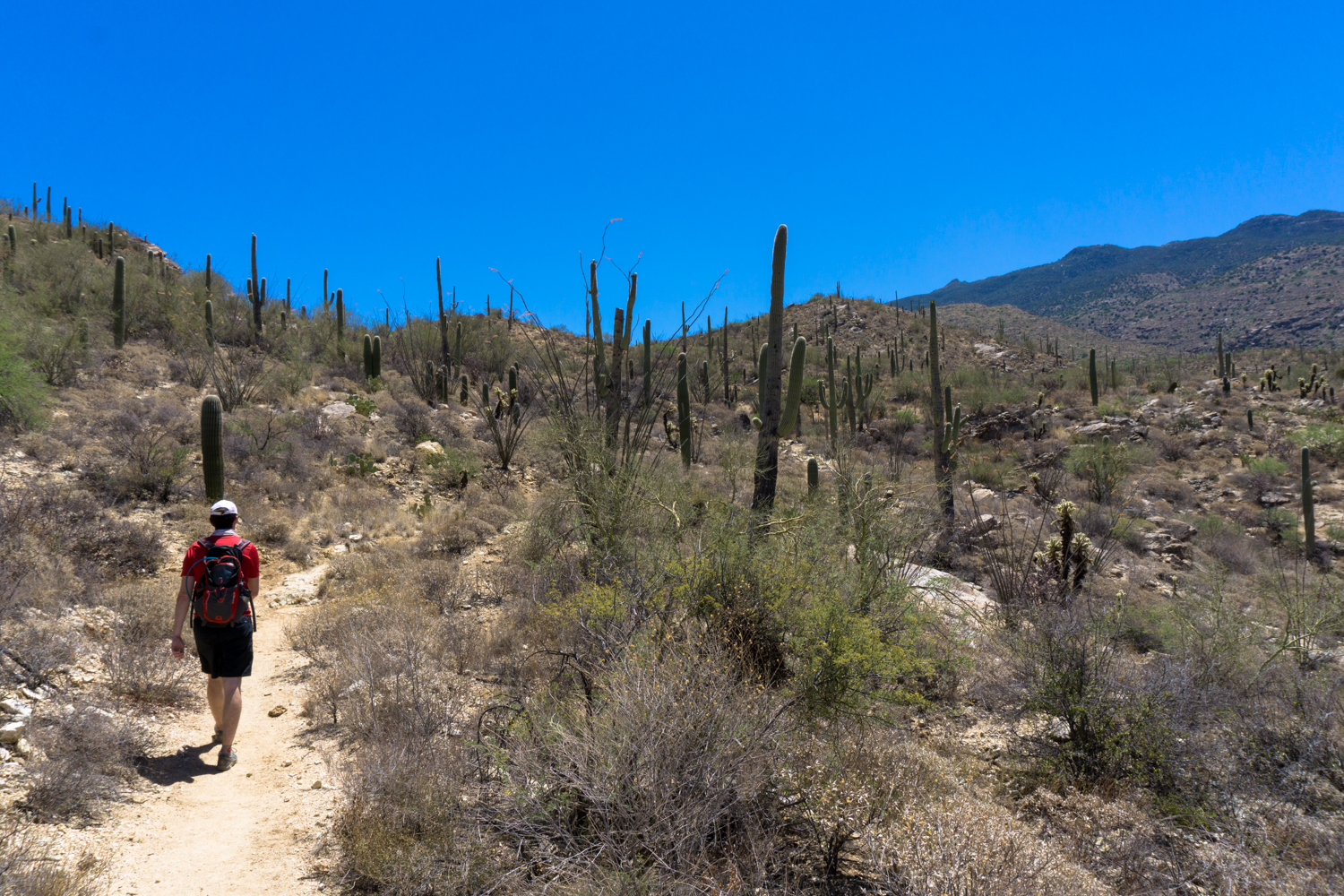
The Garwood Loop is a fun and rugged trip into the less-traveled Rincon Foothills in Saguaro National Park East that climbs up into the low peaks for panoramic views, meanders through exquisite saguaro forest, and even takes you to old relics from the region’s ranching past. If you’ve hit up the Rincon Visitor Center and done the Cactus Forest Loop Drive (which you should!) but wanted to spend some time in the park at a place where you felt like you had it a little more to yourself, pack up some extra water and head to the Douglas Spring Trailhead at the end of Speedway Boulevard and get going!
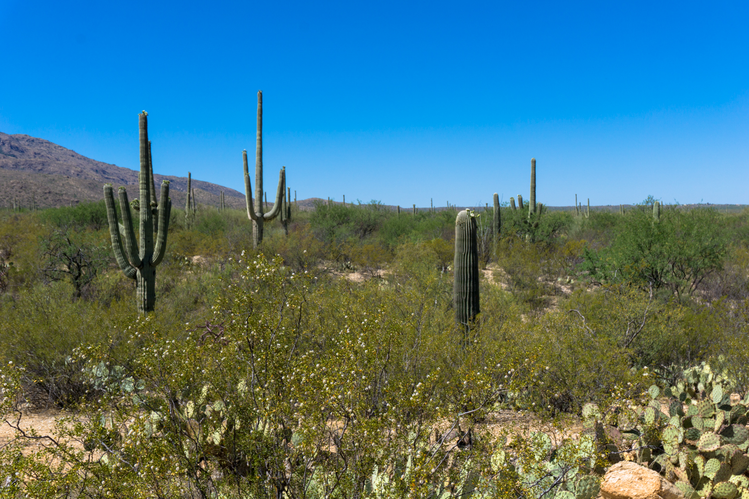
Pass the shaded picnic area and head east on the Douglas Spring Trail for about 0.2 mile. The trail quickly leaves the road and all signs of civilization behind you, welcoming you instead to the wonders of the saguaro cactus forest.

The Rincon Mountains are in the distance — and if you’re in the mood for a return trip later, you can use this same trailhead for a backpacking trip up into the cooler, higher-elevation climate of those mountains. The hike-in Douglas Spring Campground is 6.2 miles one-way from this trailhead, but since you’re here for just a day-hiker’s sampling of the region, keep to the right at the four-way junction to head south on the Garwood Trail.
Although you can hike this loop in either direction, the clockwise route on the Douglas Spring and Carrillo Trails is significantly steeper and rockier, so odds are you’ll prefer to come down that route rather than trudge up it.

You’ll stay heading south on the Garwood Trail for the next 1.6 miles, ignoring the Converse Trail in 0.3 mile and the Bajada Wash Trail 0.4 mile later. As with many of the trails here, they’re well signed but you definitely want a paper map to keep track of the system as a whole.
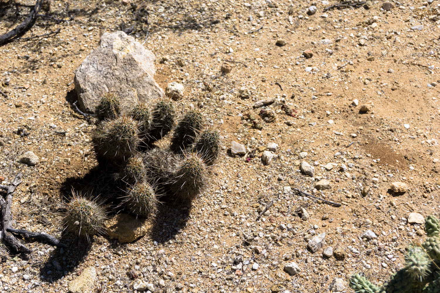
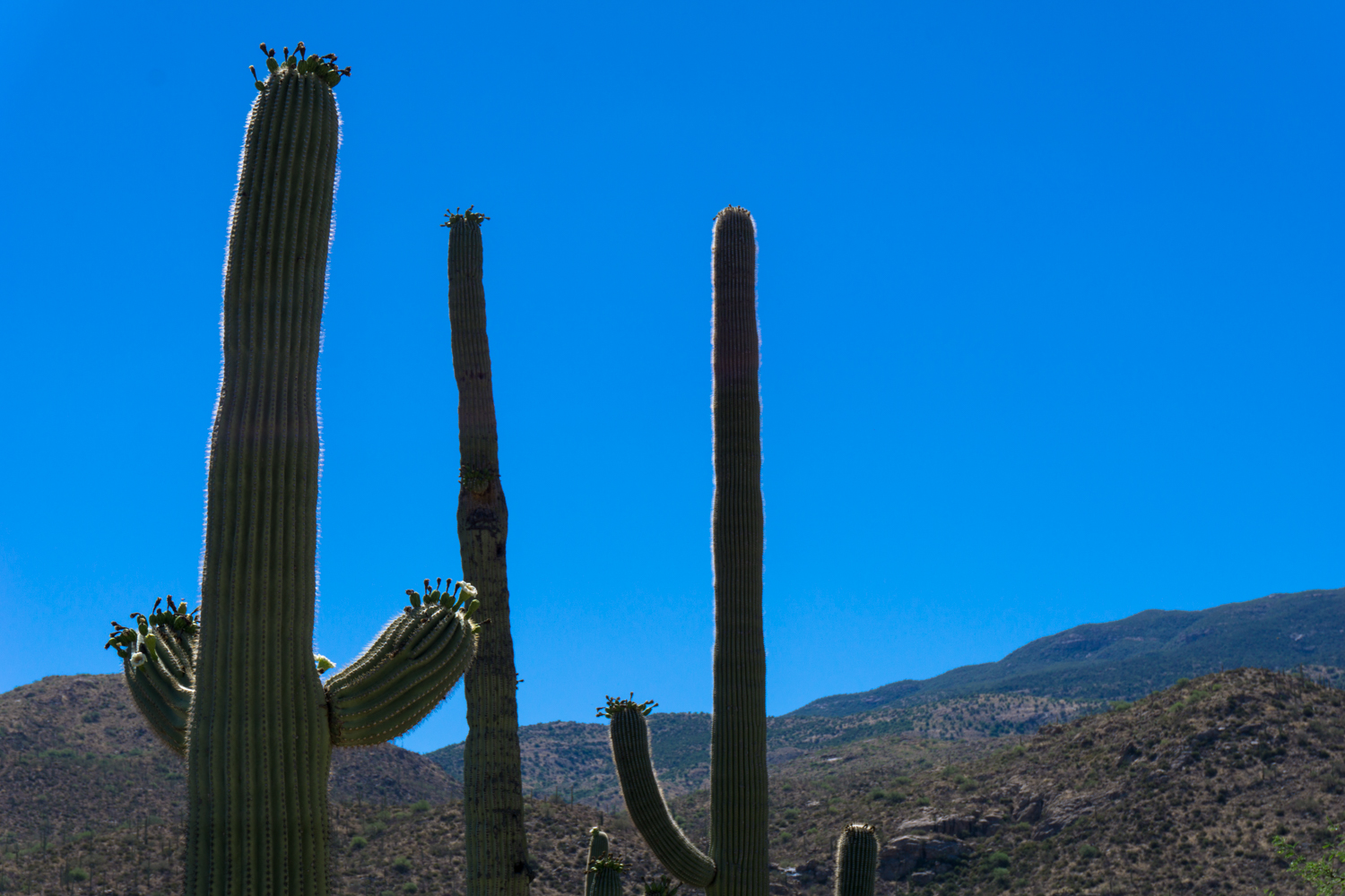
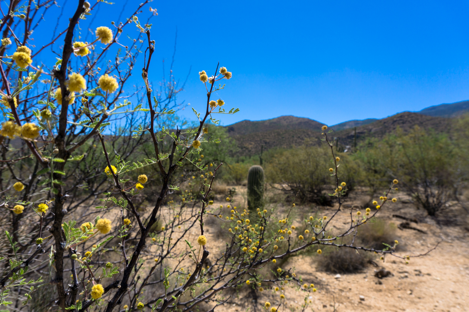
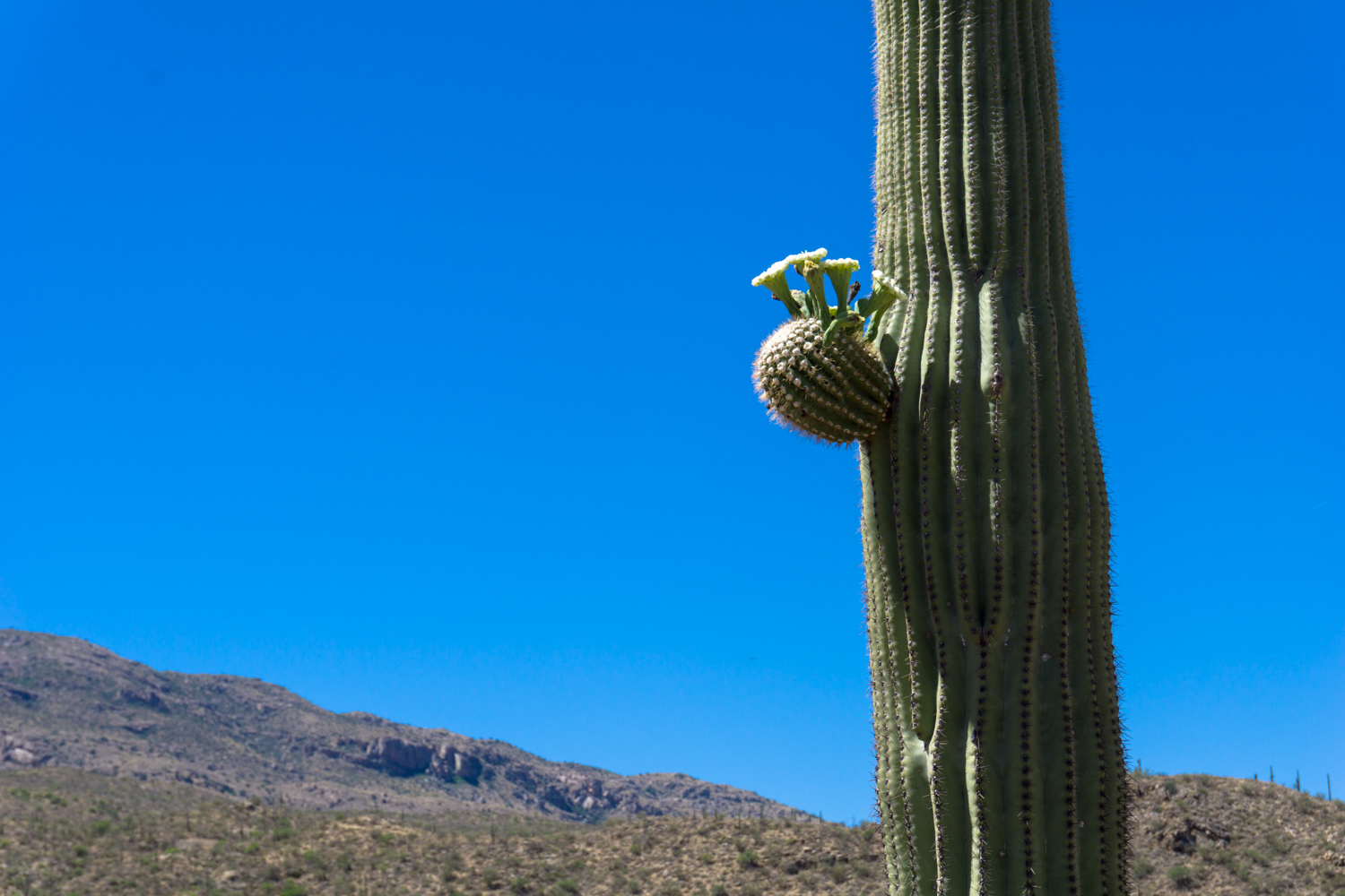
The trail here is relatively flat, and meanders through a beautiful stretch of the cactus forest where saguaros tower over mesquite and palo verde trees, as well as creosote bushes, ocotillos, brittlebush, cholla, and prickly pears.
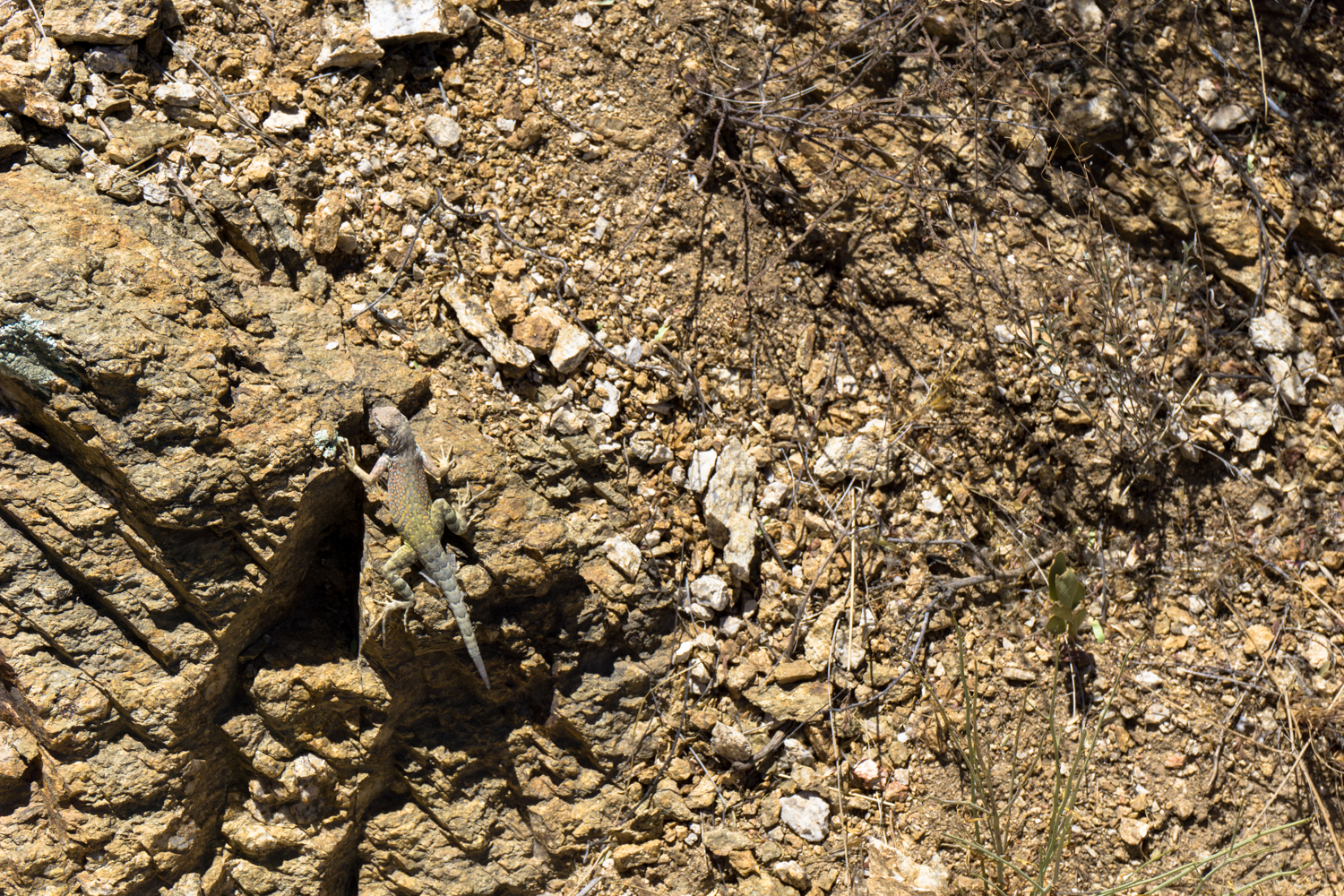
In the spring, you’ll spot lots of blooms in this area — while later in the spring and early summer the saguaro will be blooming for you.


At about the one-mile mark, there’s a large trail junction with the Wildhorse and Bajada Vista Trails. Stay straight to continue on the Garwood Trail, where you’ll meet a short, sharp incline before the trail levels out again.
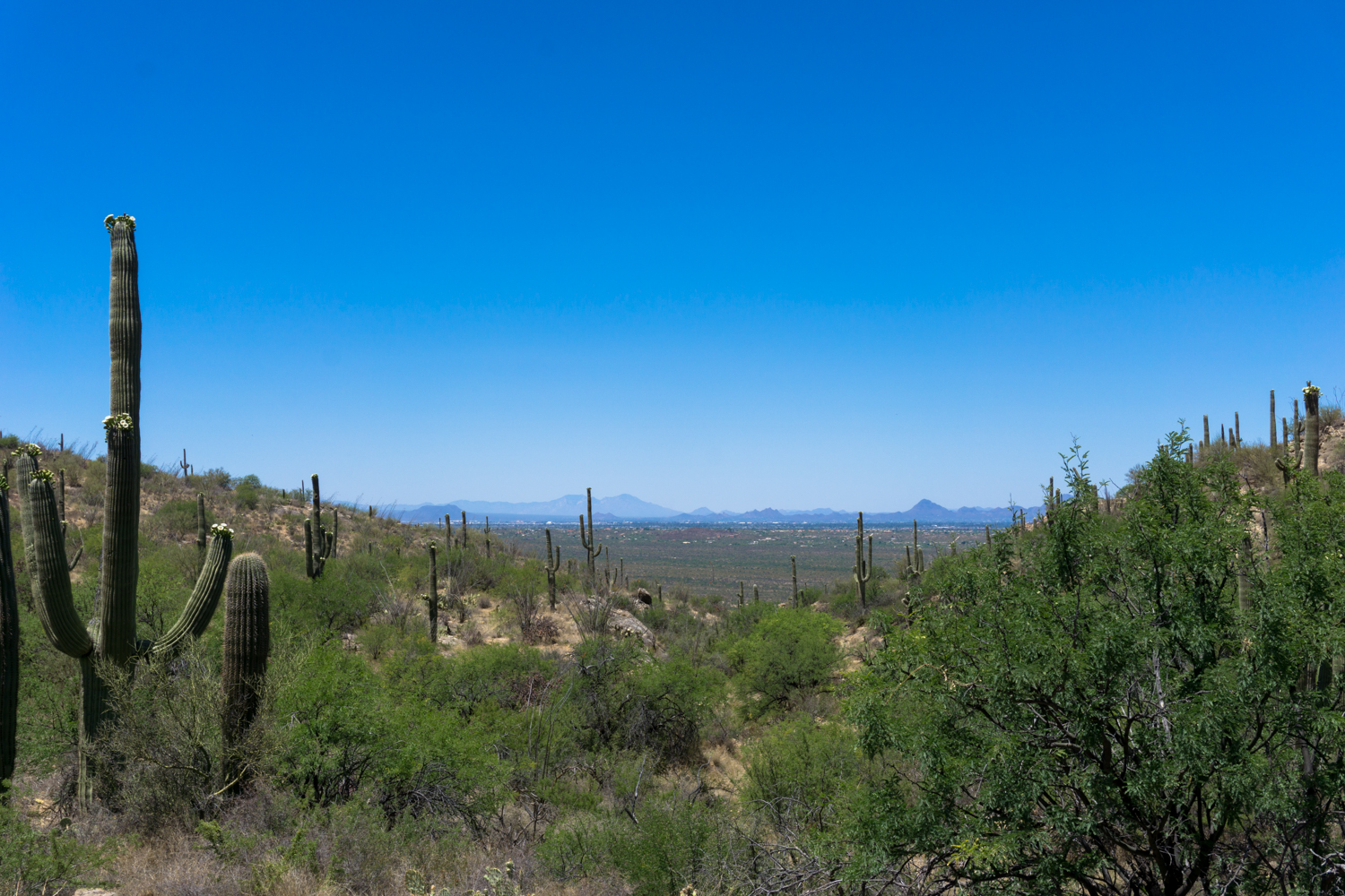
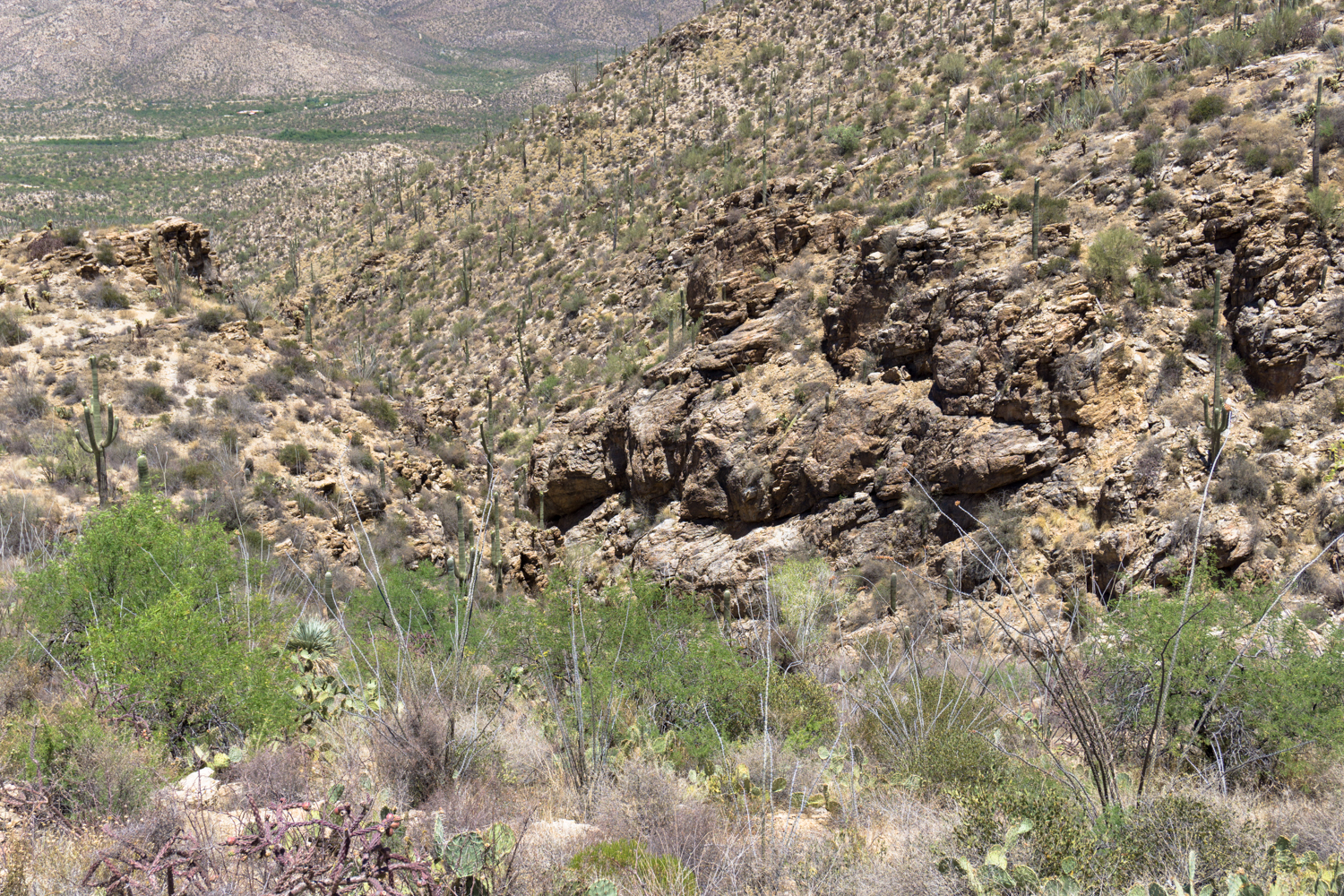
At about 1.6 miles, the trail bottoms out and now you enter the elevation-gain section of the route. In the distance, you’ll be able to make out some of the low buildings of Tucson, as well as the Tucson Mountains further to the west. And at the 1.9 mile mark, you’ll turn away from the city back toward the Rincon Mountains, just in time to see a large dam seemingly built out in the middle of nowhere in the desert.

This is the Garwood Dam, the sole remaining structure of the Bar G Ranch that operated here from 1945 to 1959 before the land was owned by the Park Service (and before Saguaro was a National Park). Nelson and Josephine Garwood owned 450 acres in this part of the Rincon foothills where they built a road, a several-building residence, and an airstrip after Nelson started learning how to fly planes. The Nelsons noticed this particular canyon usually had water in it year-round, so they dammed the canyon here for residential water use and built-up the dam over the years.
The Garwoods left the property in 1959 and the next owner was apparently something of a vacant landlord. All of the buildings and structures fell victim to vandalism, and the Bar G Ranch burned down in the early 1970s in a fire likely set by vandals. The National Monument acquired the property through eminent domain and it is now part of the National Park.
The dam still stands and is in fairly good shape, although hiking on the structure is both illegal and dangerous. All off-trail hiking is forbidden below 4500 feet of elevation in Saguaro National Park, so just enjoy the dam from a distance or see if there’s any water pooled up behind it after a good rainy season, then continue your climb up the Carrillo Trail.

The Carrillo Trail can be tough to spot from the dam – look for the sign!
The trail climbs up the rugged north side of the wash here, intersecting the Wildhorse Trail at 2.5 miles. Stay on the Carrillo Trail and keep on climbing up into the cactus forest.

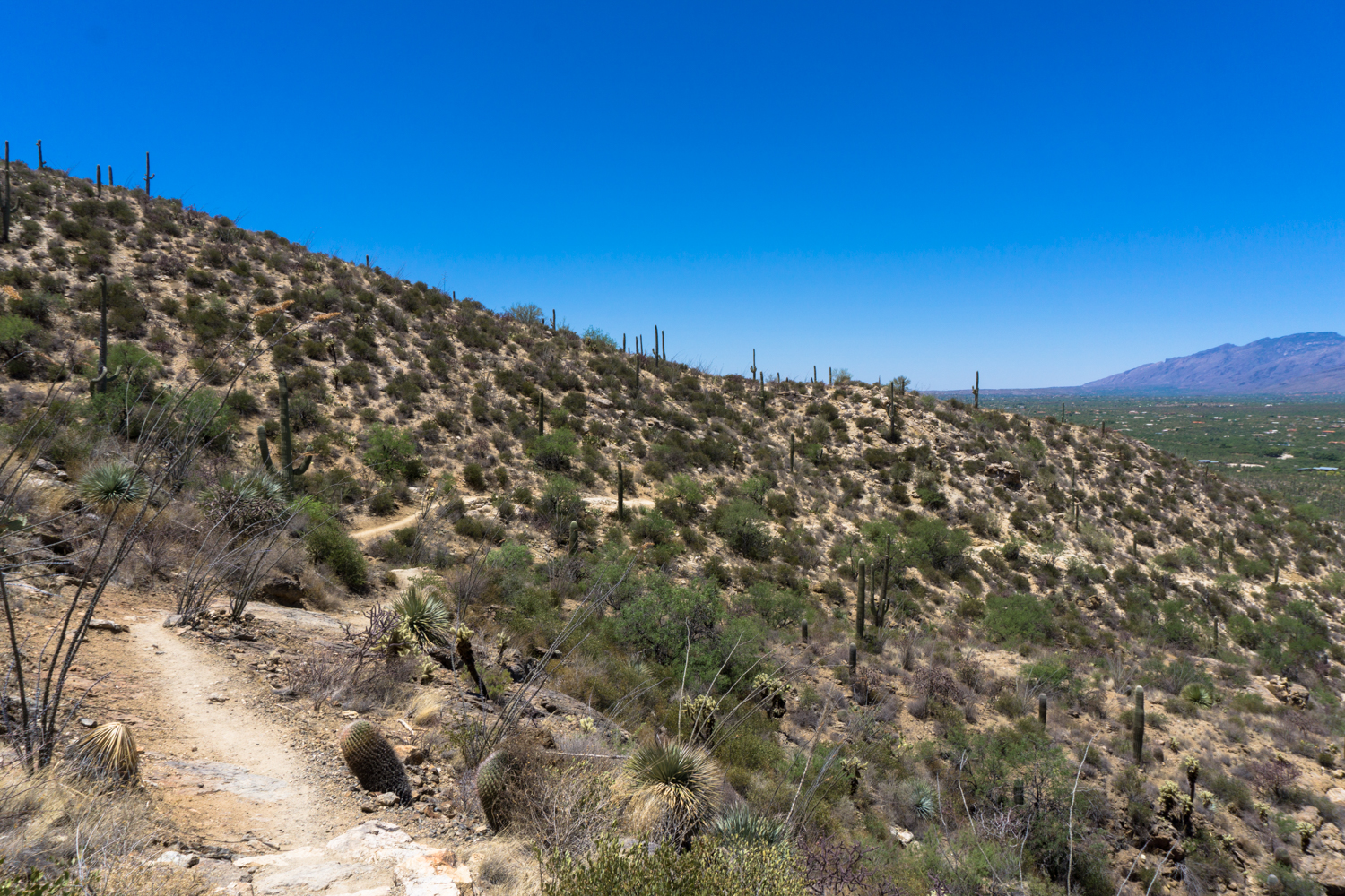
As you’d expect, the views really start to open up on these higher elevations. Keep the upward momentum going, and at 3.2 miles, dip down into a small wash where a large, rusted steel tank sits fairly prominently in the valley. In the summer, be on the lookout for rattlesnakes sunning themselves nearby.
Continue around the tank and look for the continuation of the Carrillo Trail climbing upward. This part of the trail can also be tough to spot, so if you’re not climbing and you’re not heading north, you’re on the wrong trail.

The Carrillo Trail keeps climbing
You’ll reach the high point of the loop just past the 4 mile mark on a ridge with phenomenal views of the Rincon and Santa Catalina Mountains and eastern Tucson.

Keep left at the junction with the Douglas Spring Trail at 4.3 miles to begin your steep, rocky descent — and be thankful you didn’t come up this way!
This route was hiked and mapped in support of TomTom’s #offthebeatenpath / #getgoing campaign, which encourages hikers to explore more remote routes in crowded National Parks like Saguaro. Attendance is up in National Parks across the country – but more and more often visitors are going to the same, already crowded trails. TomTom has launched a dedicated site to help people find some of these routes, which they can download for free to run on their TomTom Adventurer. Now get out there and get exploring!
Tags: garwood dam, garwood loop, saguaro national park, tucson