
Sweeping ridgelines and valley vistas are a hiker’s bread and butter, and at Henry W. Coe State Park, you will find these and more on a hike to Frog Lake. This start-high, stay-high hike begins at 2644 feet from the Coe Ranch Visitor Center, circling the park on a clockwise loop in the Diablo Range. Although Coe is known for its scorching temperatures in summer, the hike is surprisingly shady, rarely going more than a few hundred feet without it. Benches and picnic tables provide rest along the way, and yep, there are frogs and even fish in Frog Lake.

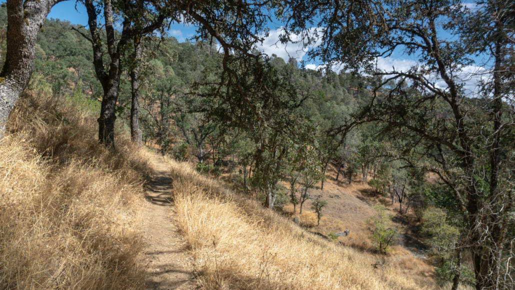
View southeast from the Monument Trail
Start your hike from the Coe Ranch Visitor Center, taking a moment to pop in. Beside the books, maps, and field guides, exhibits tell the story of the park and who we have to thank for its existence: Sada Coe Robinson, Henry W. Coe’s daughter. On August 15, 1953, Sada donated her family’s Pine Ridge Ranch to Santa Clara County. Born and raised in San Jose, Sada grew up helping her Dad at the ranch and managed it for a short time in the 1930’s with her husband, Charles Robinson.

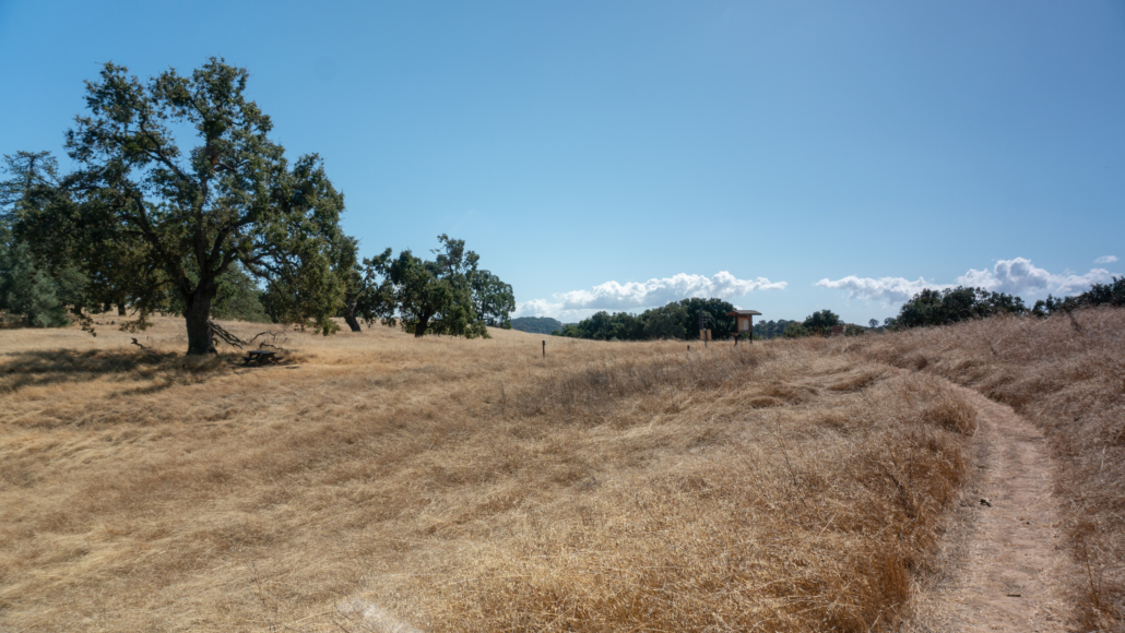
View of Santa Clara Valley and the Santa Cruz Mountains from the Ponderosa Trail Loop, an optional detour.
Leaving the visitor center, hike north on East Dunne Avenue. In 275 feet, turn right onto Manzanita Point Road. At the top of road, bear left onto the dirt trail beside the gate—the Monument Trail.


Ponderosa pines and live oak provide cool shade as you switchback to Pine Ridge, elevation 3,009 feet. Ridges and valleys in Henry Coe, as well as distant peaks in the Diablo Range, are visible. Weaving through the grassland, you can imagine how prized this land was for cattle ranching, with natural springs and open lands for grazing.
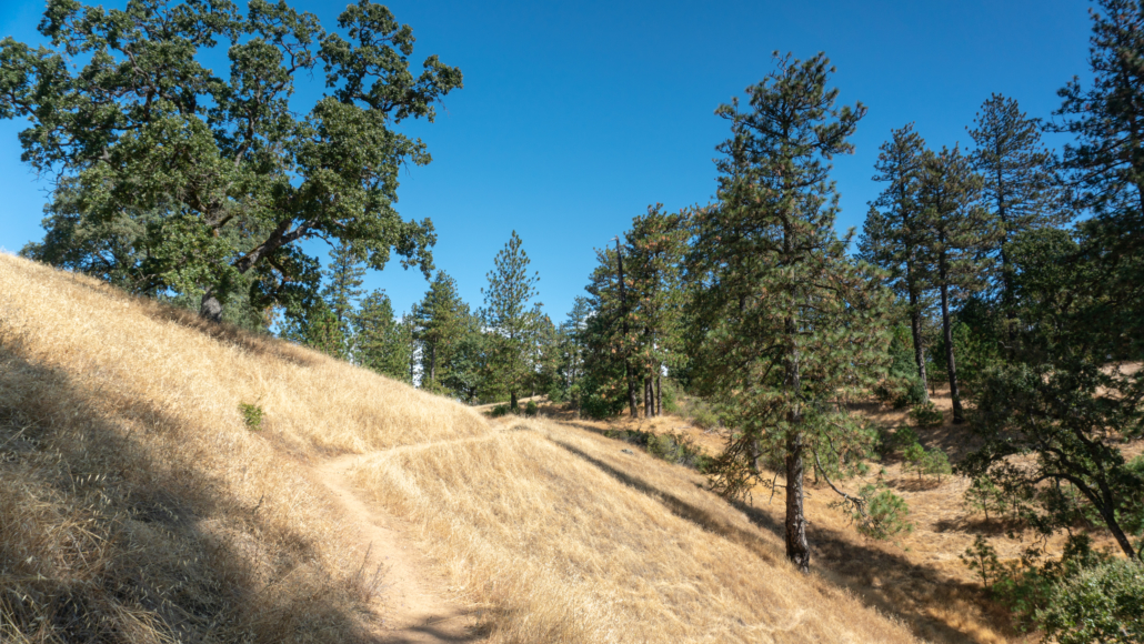
At 0.5 miles, reach a four-way junction with the Ponderosa Trail. A left here leads to beautiful views of Santa Clara Valley and the Santa Cruz Mountains on the Ponderosa Loop Trail. A right turn will take you to the Henry Coe Monument. Staying straight leads to Frog Lake.
Turn right and take the Ponderosa Trail east for a quick side trip to the Henry Coe Monument, just across Hobbs Road.
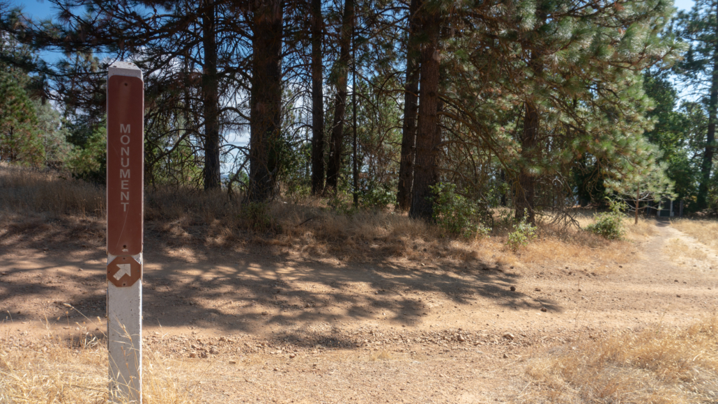
When Sada Coe Robinson gifted Pine Ridge Ranch to Santa Clara County in 1953, this monument to her Dad was one of three conditions for the gift. The other two were that it would be a park for Californians and any money raised off the land would go to the park’s “development as a recreational area.” Santa Clara County came through with the monument but ultimately wasn’t in a financial position to keep it. On November 10, 1958, the State of California purchased the land from Santa Clara County for $10.00. Over the next 50 years, the state purchased more ranch lands, growing the original 12,230.5-acre gift to over 87,000 acres. Today, it is the largest state park in Northern California and the second largest in California after Anza-Borrego Desert State Park in San Diego County. (Can you guess how large it is? See Notes below for the answer.)

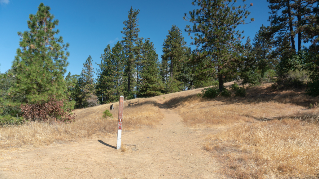
Retrace your steps to the Monument Trail. Turn right and head north for 0.1 mile under shady pine and madrone.

At the 1.0-mile mark, turn left onto Hobbs Road towards Frog Lake. The wide dirt road descends 0.9 miles to Little Fork Coyote Creek under black oak and pine. Big berry manzanita pepper the forest among swaths of yellow grass in autumn. The partially shady road is steep in places, with enough space between trees to see the large white domes at the Lick Observatory to the northwest.

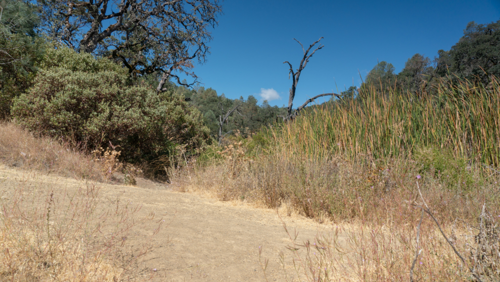
The road bottoms out at 1.9 miles, passing the Flat Frog Trail. Just beyond it, in another 80 feet, turn right onto the Frog Lake Trail. The Flat Frog Trail will be your return route to the visitor center. The next 0.2 miles are narrow and a little brushy. A shady section passes through large boulders, poison oak, coast wood ferns, and California bay. After 0.2 miles, take an unsigned spur next to a thicket of cattails.

The spur leads to a viewpoint of Frog Lake, resting in a pocket of hills and forest. The lake has bass and bluegill and fishing is allowed. Chirpy acorn woodpeckers tap the granary trees in the middle of the lake, whittling holes for food storage. You may also see red-winged blackbirds and mallards skimming the surface. There isn’t really a place to sit down here, but if you follow the Frog Lake Trail 225 feet east, you will see a sunny, flat area that works. Past this point, the trail continues up the side of the valley to Middle Ridge, an option for a longer loop.


A level patch next to Frog Lake on its southeastern side is a nice spot to take in the view
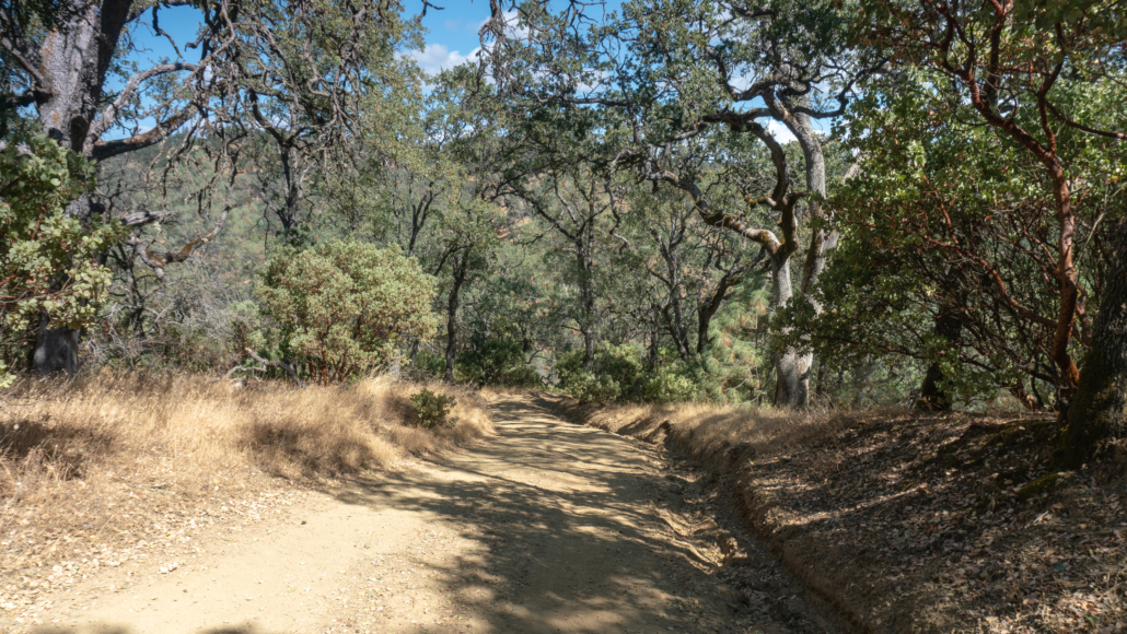
After soaking in the views and taking pictures, retrace your steps on the Frog Lake Trail to Hobbs Road. At 2.4 miles, turn left onto the Flat Frog Trail, heading southeast towards Coe Headquarters. The gently rising trail is partially shady, winding under shady black oak and a brushy understory of coffeeberry and toyon. It feels like you’re skirting the edge of the valley as you climb past breaks in the trees to views of Middle Ridge and Blue Ridge. The Flat Frog Trail is known for wildflowers, and in springtime, you can find Ithuriel’s spear, western columbine, and checker lily here.


Pass through a sunny stretch of chamise, arriving at Manzanita Point Road at 4.8 miles. There is a picnic table here under a tree that is a shady spot for a break. Stay straight across the road and follow signs for the Corral Trail and Coe Headquarters. The trail zigzags up shady switchbacks towards the end, returning to the familiar farm buildings at Coe Headquarters.


Notes:
- The park is open 24 hours a day. The parking fee is $8.00.
- The Coe Ranch Visitor Center is open weekends from 8:00 a.m. – 4:00 p.m. In spring and summer months, visitor center hours extend to 6:00 p.m. on Saturdays and Sundays, and it is also open 8:00 a.m. – 8:00 p.m. Fridays.
- The Pine Ridge Association publishes an excellent topo map of the park and trails. Pick it up for 10 bucks at the Coe Ranch Visitor Center, or purchase through the Pine Ridge Association’s website here.
- Dogs are not allowed on trails in Henry Coe with the exception of the 0.5-mile Live Oak Trail. Bikes and horses are allowed on designated trails.
- A restroom is available at the Coe Ranch Visitor Center. There is also an outhouse west of Frog Lake (up the hill at Frog Lake Camp).
- Henry Coe State Park is over 87,000 acres, the second largest state park in California next to Anza-Borrego Desert State Park, which comes in at a whopping 600,000 acres.
Tarantulas
In late summer and early fall, male tarantulas scurry from their burrows in search of females, often popping up on park roads and wide, exposed fire roads. Despite their horror movie reputation, tarantulas are gentle and are not poisonous or dangerous to humans. Keep an eye out for their quarter–sized burrow entrances, often lined with silk, as well as their hairy brown bodies, about 4-5 inches long with 8 legs. After mating season, the males perish; however, females can live up to 25 years. A good time to try to see them is early morning and evening before sunset. Check event calendars for tarantula programs and guided hikes, often occurring in September and October.
Tags: Diablo Range, Frog Lake, Henry Coe State Park, San Jose, Santa Clara Valley, Santa Cruz mountains


