Rock Spring rests on Mount Tamalpais‘ southwestern ridge, 1972 feet above the Pacific Ocean. Multiple creeks stream down the northern face of the mountain into reservoirs below, part of the Marin Municipal Water District. This hike begins with a gorgeous view of the Bay Area, descends northwest along musical Cataract Creek, and then traverses an airy forest in a big clockwise loop.
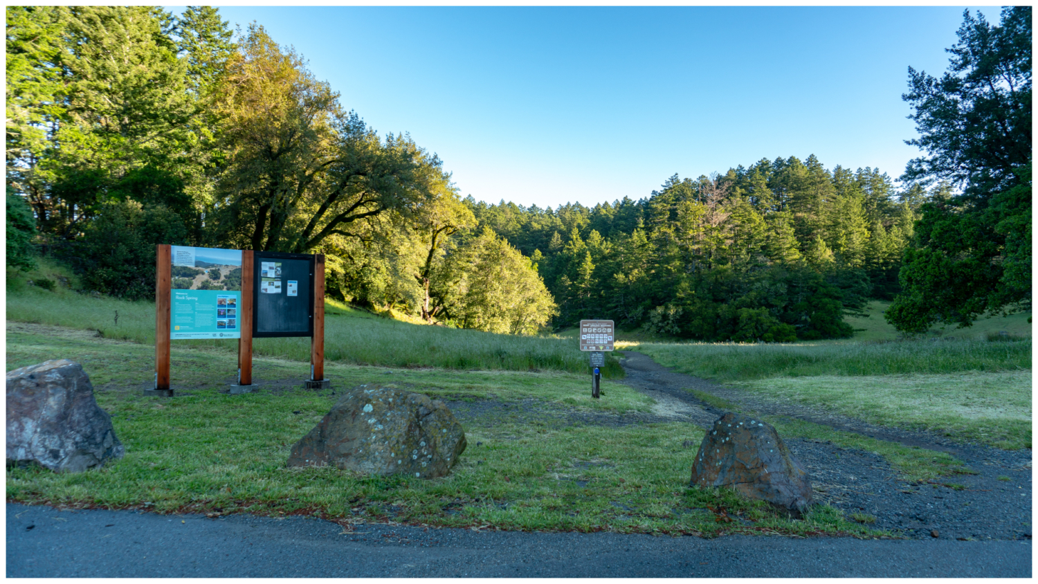
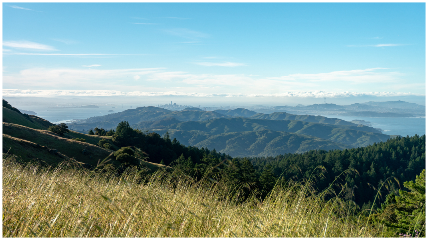
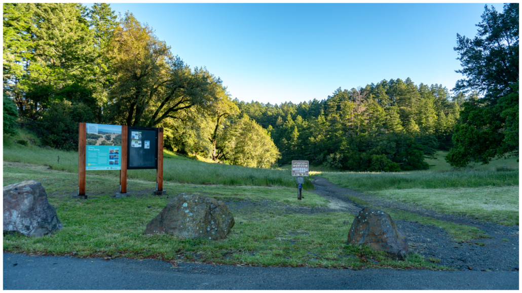
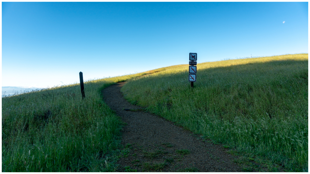
Start your hike at the Rock Spring trailhead. Before hopping on the Cataract Trail, carefully cross Ridgecrest Boulevard onto a narrow dirt trail to see a vista of San Francisco, the Bay Bridge, and the Pacific Ocean to the south. What a way to start a hike! The trail follows the ridge for about 0.4 miles before descending towards the coast. Go as far as you like, and then turn around and head back to the Rock Spring trailhead.

Gorgeous views southeast of San Francisco Bay and Pacific Ocean on a clear day.
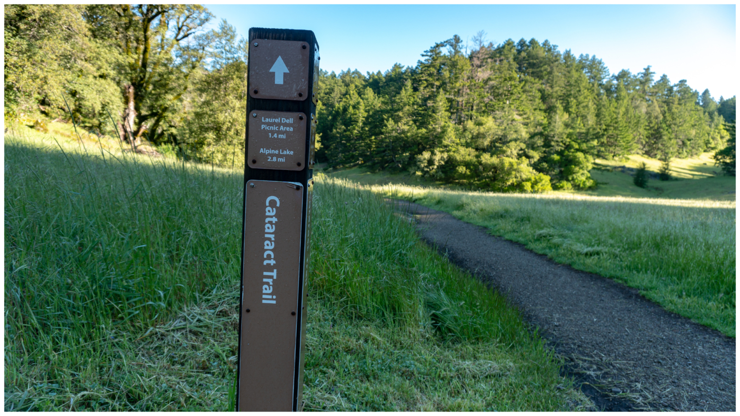
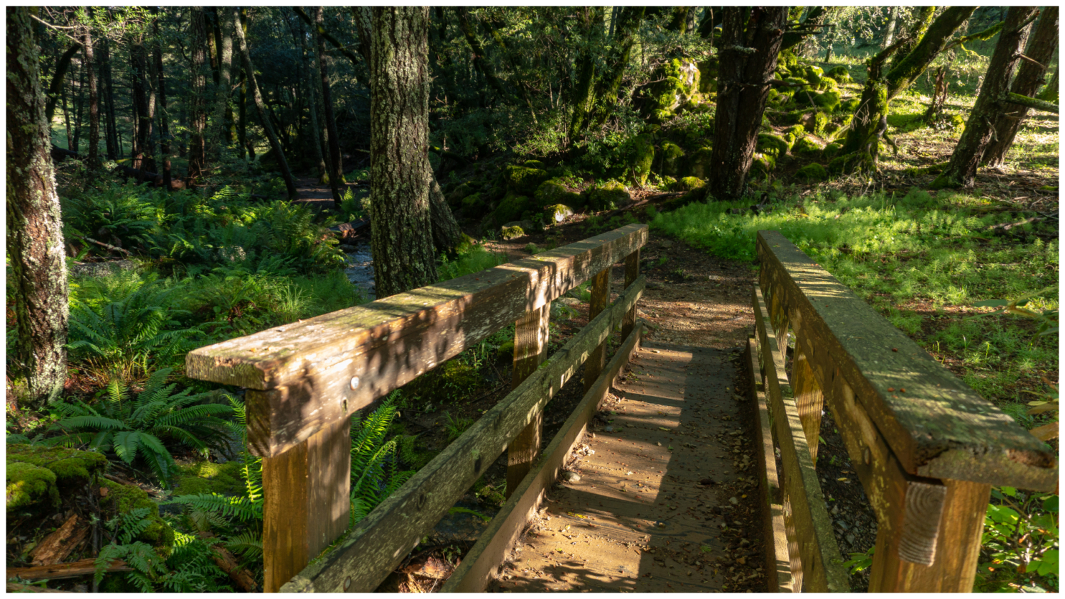
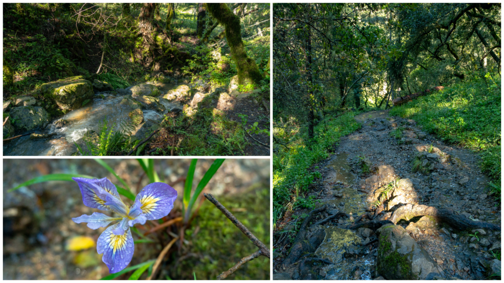
Back at the Rock Spring trailhead, pick up the Cataract Trail towards the Laurel Dell Picnic Area. Tall Douglas fir, chirpy acorn woodpeckers, and coast live oak surround a grassy meadow. The wide single-track gently descends northwest. Cross a wooden bridge—the first of many—into an enchanted woodland of ferns and mossy rocks beside Cataract Creek. Keep an sharp eye out for plentiful poison oak.


Frothy cascades spill beside the trail as you descend downhill on the rough trail. Congratulations, you have hit the trail jackpot: hiking along a pretty, shady creek with wildflowers. In mid-spring, look for fairy slippers, a flower in the orchid family with bright pinkish-purple flowers and a single pink and white spotted petal. Douglas iris, coral root, and rose shrubs grows here too.
Arrive at the Ray Murphy Trail junction at 1.1 miles. Pop over to the bridge to take in the view of the aqua creek, and then return to the Cataract Trail, continuing north towards the Laurel Dell Picnic Area.

In 0.4 miles, cross Laurel Dell Fire Road to the Laurel Dell Picnic Area. There are picnic tables here if you’d like to take a snack break. I waited and took mine at Potrero Camp (mile 4.9), which also has picnic tables next to a creek. After passing the picnic area, keep going on the Cataract Trail towards Alpine Lake.


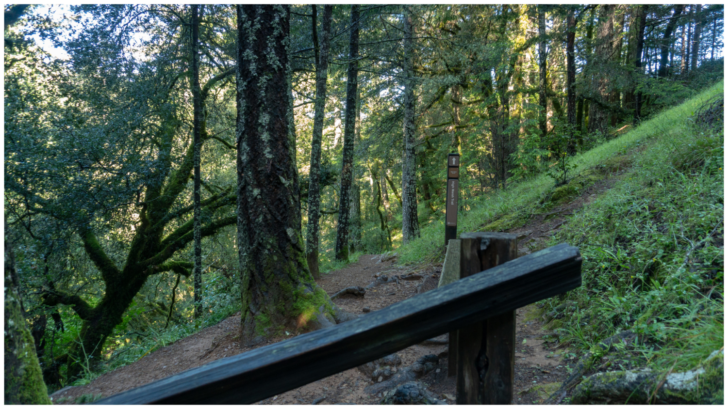
At 1.7 miles, reach a junction with the High Marsh Trail on your right. We will continue on High Marsh, but for now, swing left and descend 50 feet to see Cataract Falls tumbling down a scenic gulch.


After taking a picture, hike back up and pick up the High Marsh Trail, heading east towards High Marsh. The single-track trail veers away from Cataract Creek in a partially shady and airy forest. This part of the watershed is quieter than the popular Cataract Trail, with trilling birds and hammering pileated woodpeckers. After your long descent on the Cataract Trail, you are now climbing on an up-and-down route over the next 2.2 miles towards the Kent Trail.

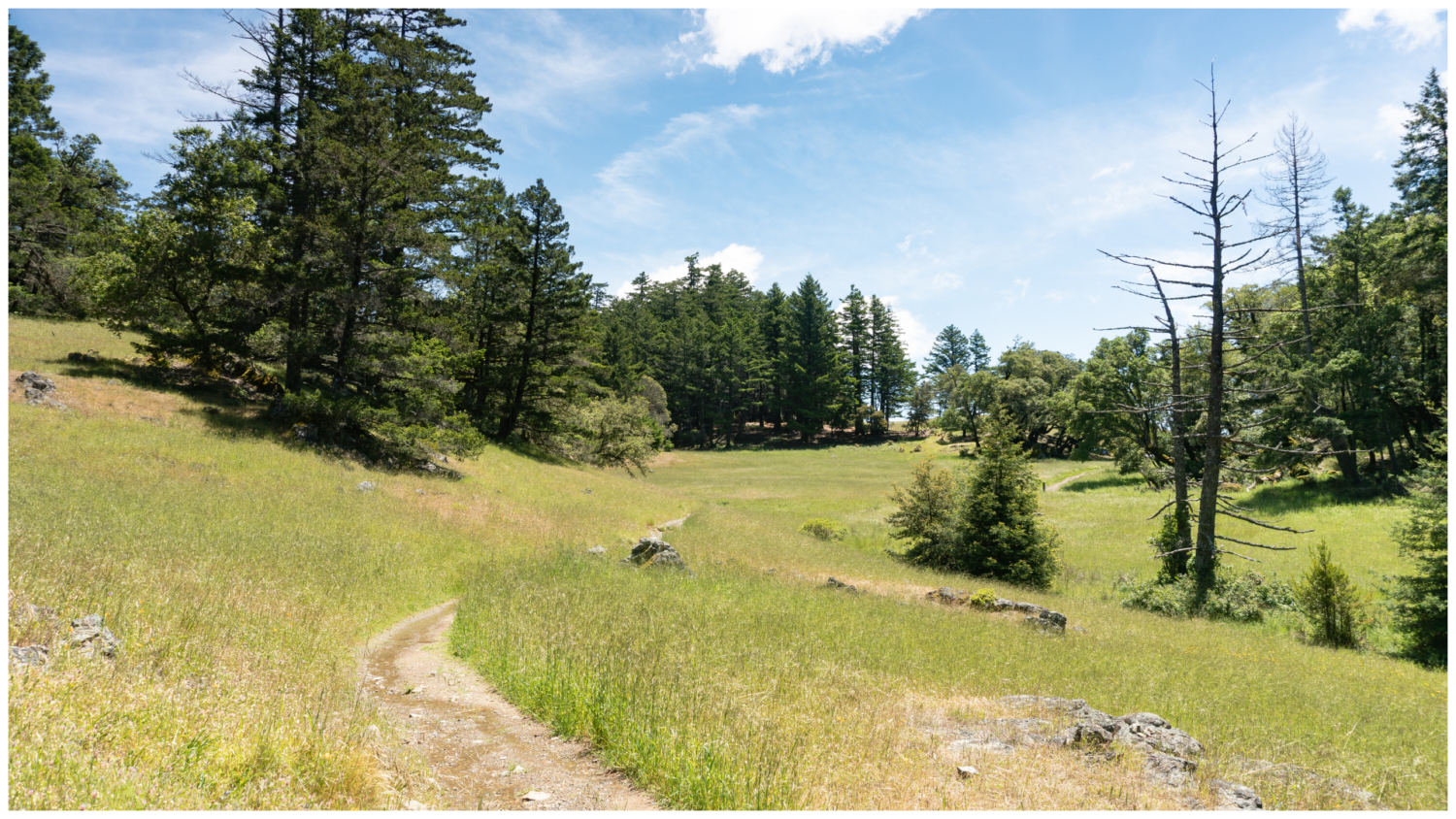
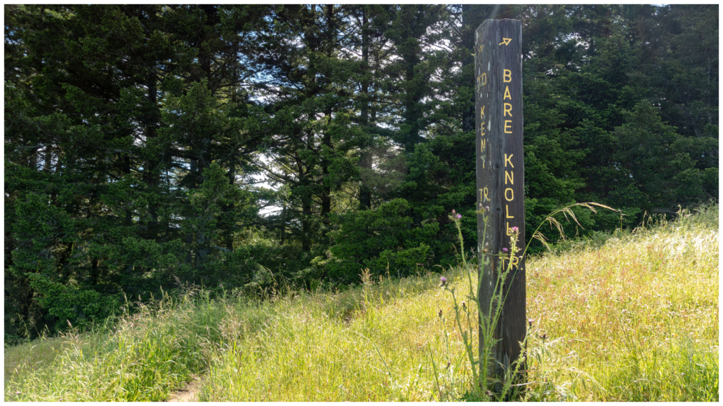
A short stretch of sunny grassland offers ridgeline views to the northwest, with a sliver of Kent Lake in the distance. In spring, the grasses host wild hyacinth, mule ears, clover, lupine, and poppies. Pass the Bare Knoll Trail at 2.1 miles, continuing east towards the Kent Trail. Back in the shady forest, triangle-shaped gold back ferns and bracken ferns serve as landing pads for forest debris.

Pass the Old Stove Trail at 2.7 miles, weaving through a sunny stretch of chamise, manzanita, and sticky monkeyflower. Over the next mile, creeks and streams flow through the trail, with sturdy wooden bridges leading across the deepest ones. Swede Gorge Creek is the largest and most scenic creek on this stretch. It flows northwest to Alpine Lake, one of seven reservoirs in the Marin Municipal Water District.


Swede Gorge Creek is a scenic spot on the High Marsh Trail.
Turn right onto Kent Trail at 3.9 miles. The trail looks a little vague at this junction but its outline forms in a few dozen feet. Now it is up, up, up, gaining 320 feet over the next 0.5 miles through a mostly shady forest of madrone and golden chinquapin. You can just make out the faint sound of a creek paralleling the rocky trail.

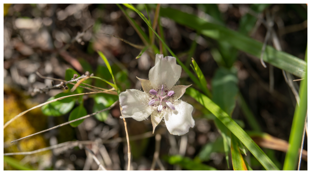
Stay straight past the Cross Country Boys Trail at 4.4 miles. A panorama to the north offers a glimpse of Mount Saint Helena on a clear day. Beside the trail, white Oakland Mariposa lilies bloom in spring.


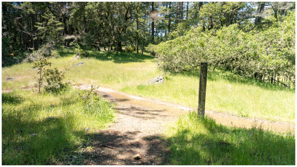
In another half mile, arrive at Potrero Meadows at the 4.9-mile mark. Turn right into Potrero Camp with picnic tables next to the creek. Throw down your pack and grab your food; this is a great spot for lunch! Potrero is Spanish for “pasture” and so the name Potrero Meadows is actually redundant, like chai tea. Botanist Alice Eastwood attempted to correct it by calling it The Potrero, but apparently it never took.

When ready, pick up the wide dirt road next to the camp, following the sign towards the Benstein Trail. Turn left onto Laurel Dell Road, and in 400 feet, turn right onto the Benstein Trail towards Rock Spring. This dry, rocky stretch passes through a grove of Sargent cypress, a conifer tree with small round cones native to California. It genus, Hesperocyparis, is the same as Monterey cypress, and means “western cypress” in Greek. The genus represents cypress trees native to western North America.


At the 5.4-mile mark, bear right onto Lagunitas Rock Spring Road, and in 0.1 mile, bear right again to pick up the Benstein Trail towards Rock Spring. You may see western fence lizards darting over sunny logs, warming themselves up and doing push-ups to flash their bellies in a mating display for females or a territorial display to other males. Buttercups, blue-eyed grass, and red larkspur bloom in spring as you descend to the Douglas fir and meadow mix you saw at the beginning.


At 6.2 miles, turn left onto Simmons Trail towards Rock Spring, and in 0.1 miles, turn left to rejoin the Cataract Trail back to the trailhead.


Notes:
- Pantoll Road is gated. It opens at 7:00 a.m. and closes at sunset in accordance with Mount Tamalpais State Park hours.
- Parking is free at the Rock Spring Trailhead and port-o-potties are located next to it.
- Trail maps are available online. I found the Rambler’s Guide to the Trails of Mount Tamalpais, Muir Woods, and the Marin Headlands helpful, as well as Green Trails Map 1187S for Golden Gate Mount Tam.
- Leashed dogs are allowed.
Tags: Cataract Creek, dog-friendly, marin municipal water district, Mount Tamalpais, North Bay, Rock Springs, San Francisco Bay Area, waterfall hikes