With a few exceptions, coastal San Diego has become so heavily urbanized that its open spaces bear the marks of extensive development. Interstate 5 bisects each of North County’s six intertidal lagoons. Extensive suburban housing developments bound open spaces like a desert of concrete around an oasis of sage-scrub. Much of the former habitat has disappeared completely under the weight of California’s second-largest city.

It therefore comes as a surprise that the one corner of coastal San Diego that suffers least from development should be so lightly traveled. Visitation at Border Field has historically been very low in large part due to numerous misconceptions about what hikers will find there. One obstacle, at least to the uninitiated, is that the road to International Friendship Park (Border Field’s signature landmark) often lies underwater when the road floods. Given that the road is flooded the vast majority of the year, cars cannot usually reach International Friendship Park. Visitors from around the world seeking to sample the area’s natural, cultural, and historical features turn around, not realizing that the park’s highlights are so easily accessible by foot.

In addition to a mixture of coastal habitats that are now all but vanished from heavily urbanized San Diego, Border Field also memorializes U.S. and Mexico history dating back to the end of the United States-Mexico War and the Treaty of Guadalupe Hidalgo. Part of this treaty mandated the establishment of a new border across the recently annexed Alta California territories, and the joint planning commission began its survey at Border Field State Park where International Friendship Park currently stands.

Other San Diegans familiar with the Tijuana River’s ecological challenges might also assume that the area is heavily polluted. The Tijuana River runs through the city of Tijuana south of the International Border. As the channelized river passes through the urban center, it carried along an accumulation of detritus that once marred the river’s natural beauty. What many San Diegans don’t realize is that the Tijuana River Estuarine Research Reserve (let’s just agree to chew that mouthful into the more digestible TRNERR, shall we?) has engaged in an extensive effort to mitigate pollution and restore this valuable habitat to the diverse, beautiful landscape it is today.
Hikers and equestrians can enjoy this moderate out-and-back route that samples nearly the entirety of the State Park’s features. Although the road is usually closed, visitors can park their cars at the gated entrance to the park. This parking area also serves as an access point to the county trail network spanning the Tijuana River Valley Regional Park. This network also connects to a portion of the National Wildlife Refuge’s Tijuana River Estuary reserve. As this is a State Park, dogs are not allowed on the trails.

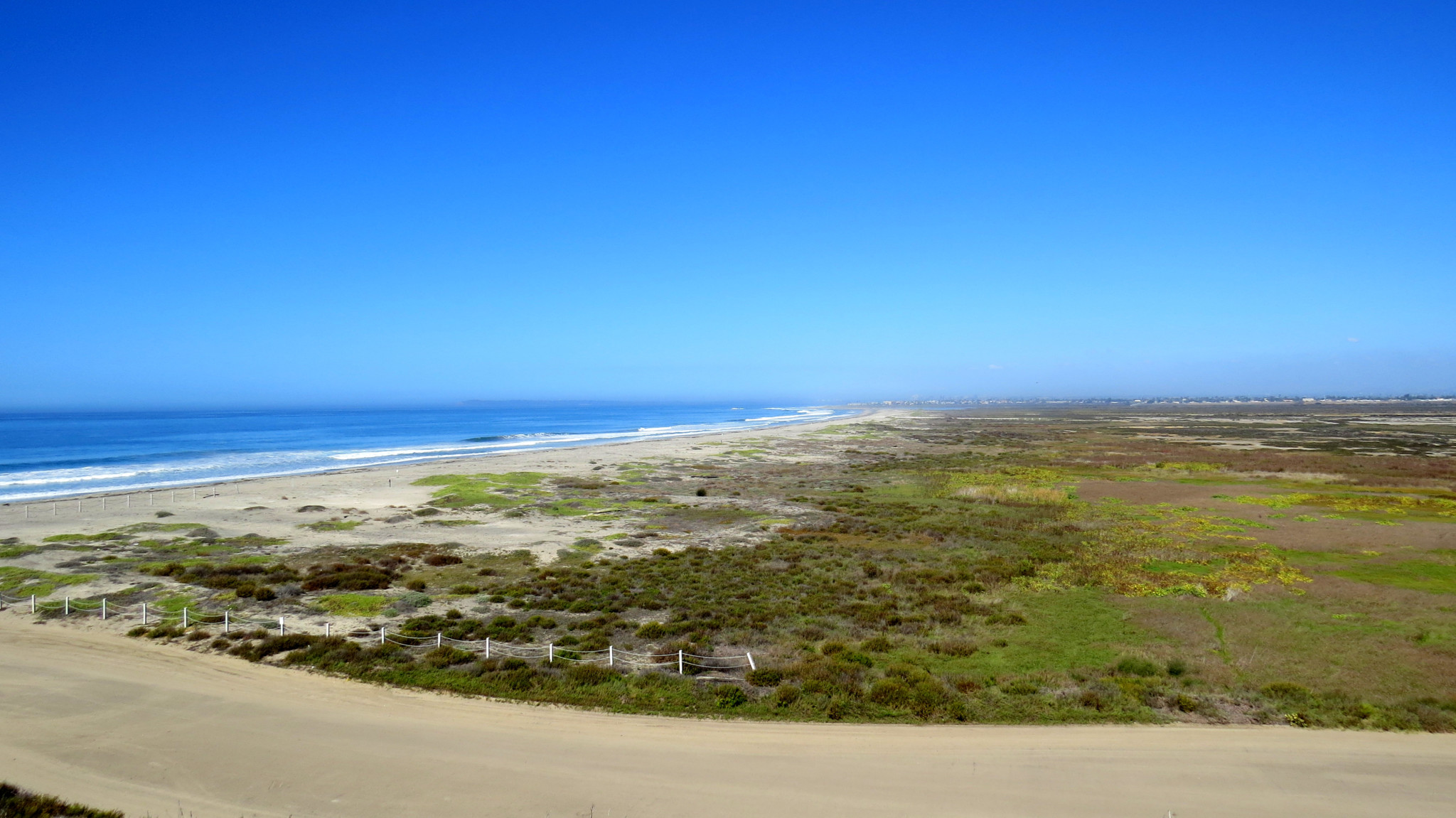
From the gate, follow the dirt shoulder of Monument Road due west toward the ocean. As you progress along the shoulder, you’ll pass through a mixture of riparian vegetation common through the estuary. The vegetation will change as you progress, gradually becoming more and more salt tolerant as you approach the ocean. At 0.5 mile, the road bends left. You stay straight to walk on the Beach Trail toward the ocean.

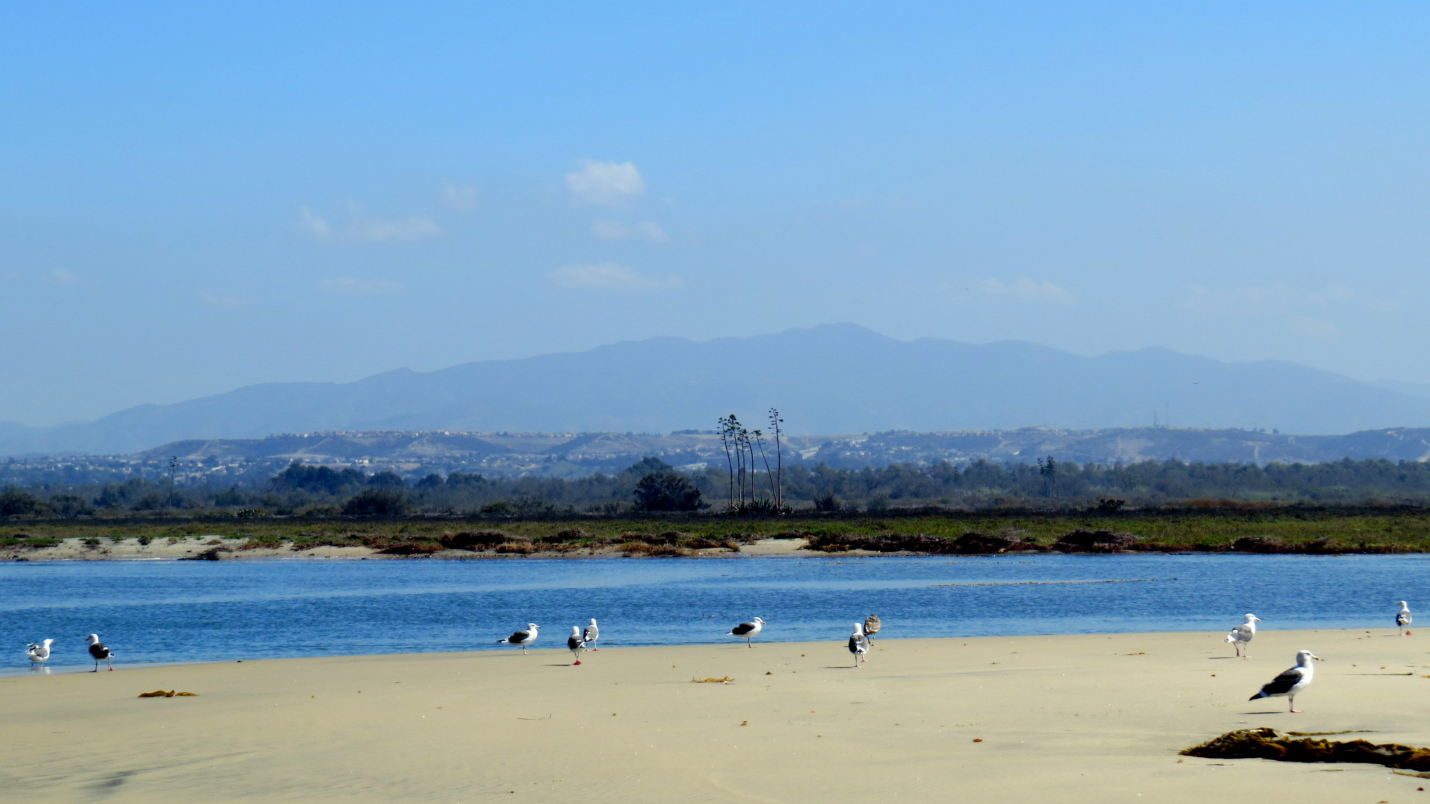
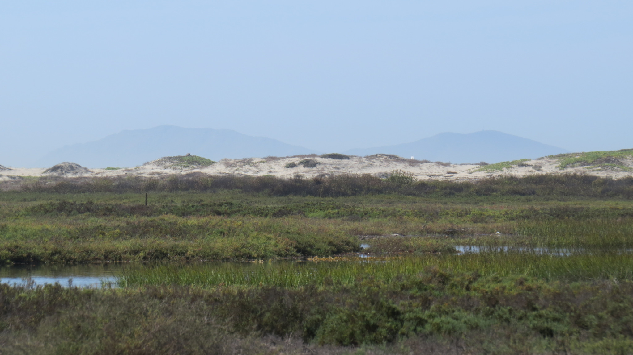
After passing through a gradual transition through progressively hardier and more salt tolerant vegetation, the trail disintegrates into soft sand on one of the only stretches of undeveloped shoreline left in the county. Hikers and equestrians can turn right to follow the beach to the mouth of the Tijuana River. When the river is running, it is fascinating to watch fresh water mix with salt water. Countless sea birds, including gulls, terns, and the threatened Western snowy plover, congregate along the river mouth. Be sure to walk at or near the tide line. The snowy plover nests in the dunes between the tide line and salt pans beyond.

Hikers that head south will approach the International Border separating the United States from Mexico. The border is impossible to miss, with its rust-colored pillars rising out of the surf. Sea gulls sit atop the fence with impunity, but the Border Patrol does keep its eyes on all large mammals using bipedal locomotion. Historically, the fence is famous for being the one spot where an American and a Mexican can bump fists across an International Boundary. However, the Department of Homeland Security has increased its scrutiny in monitoring border activity over the years, so it’s probably unwise to draw attention by reaching through to the other side.

From the fence, follow a dirt road that winds upward to a plateau overlooking the estuary. This is International Friendship Park, and you’ll find a monument marking the location of the border, shaded picnic tables, interpretive signs, and good views across southern San Diego. This is a great spot for a picnic lunch. You can consider the sharp dividing line that contrasts two very different countries while watching sea birds wheel and glide to the sound of pounding surf.

From the park, you can retrace your steps along the beach to the Beach Trail and then back along Monument Road. Or, if you prefer a loop, you can walk back on Monument Road, carefully avoiding the flooded section before making a left turn and then a right turn before arriving back at the entrance gate.
Tags: Border Field State Park, Friendship Park, Imperial Beach, International Border, mexico, Tijuana River, Tijuana River Valley