Monte Bello, meaning “Beautiful Mountain” in Italian, is a 3,436-acre preserve located a half hour’s drive southwest of Los Altos. The preserve’s unique geology —the San Andreas Fault runs southeast down its center—distinct plant communities, beautiful spring wildflowers, bay vistas, and canyon views make it a great hike.

A view into Stevens Creek Canyon from the Indian Creek Trail.
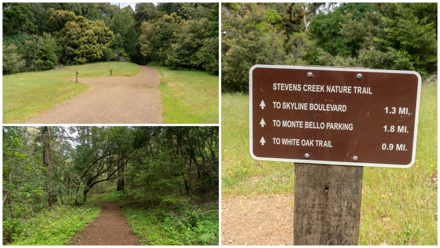
Begin your hike on the Stevens Creek Nature Trail, heading southeast on the gently sloping gravel path. The first 500 feet of the trail is an “Easy Access Trail,” one of several in the Midpen preserves that accommodate wheelchairs, strollers, and folks looking for a gentle hiking experience.

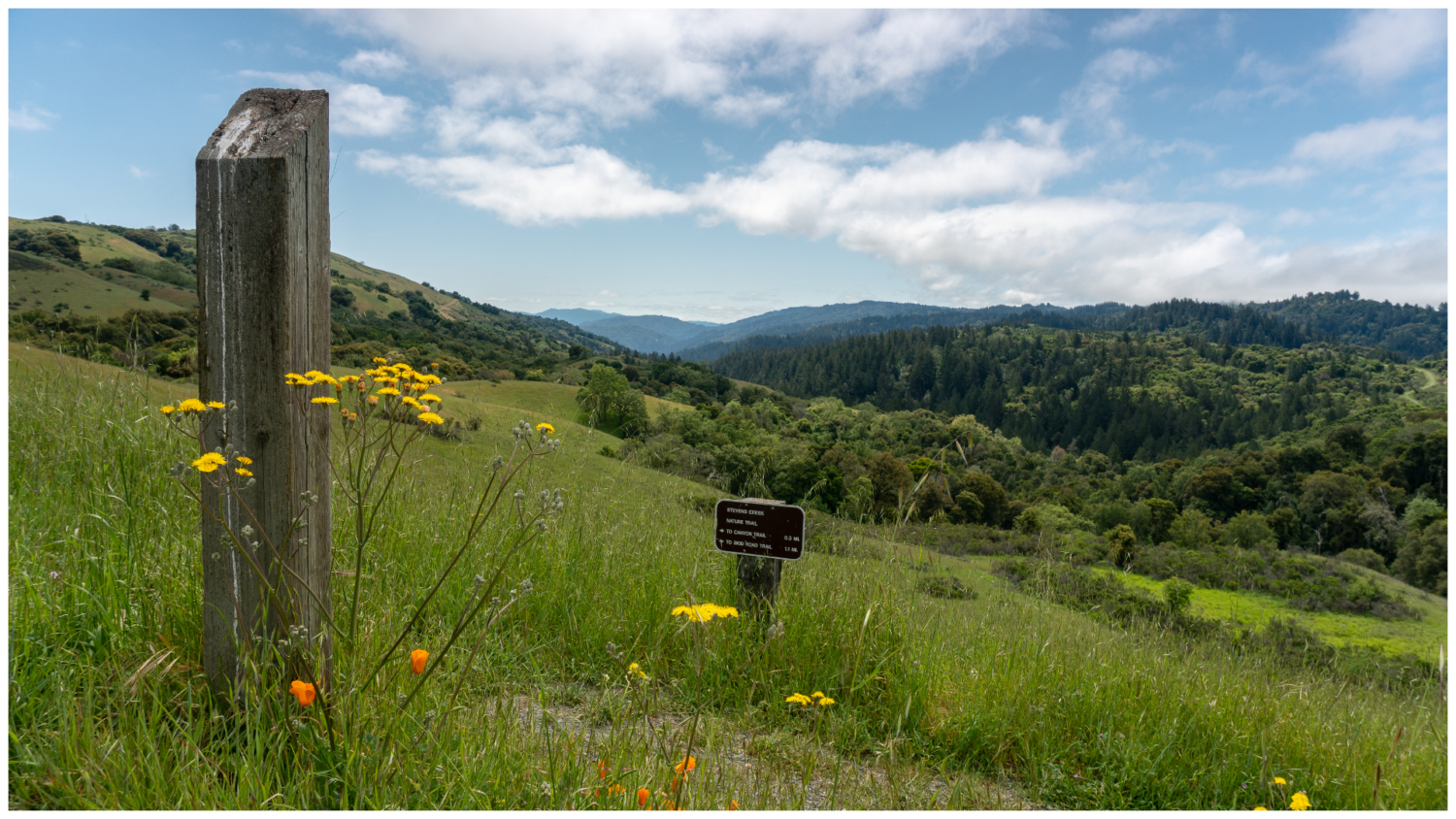
Arrive at a picturesque vista of Stevens Creek Canyon with a straight-line view to Mount Umunhum to the southeast. A bench here honors Frances Brenner, a Palo Alto City Councilwoman and open space advocate. Across the bench, the Stevens Creek Nature Trail descends to the right towards Skid Road. We will take this route back up at the end of the hike.

For now, continue east past the bench. Follow signs towards the Canyon Trail, enjoying the wildflowers blooming in spring: purple owl’s clover, miniature lupine, blue-eyed grass, and poppies. Pass an old walnut orchard, and then turn right onto the Canyon Trail. The flat dirt road cuts southeast through the preserve and connects to Upper Stevens Creek County Park. On your left is a bench and sag pond filled with cattails. Sag ponds are bodies of freshwater created in a depression between two sides of a fault zone, in this case the San Andreas Fault, which divides the Pacific Plate to the west and the American plate to the east. Along with the marshy plant life, you can find yellow monkey flower here, too.

Beautiful wildflowers line the trail in spring hiking towards the Canyon Trail.
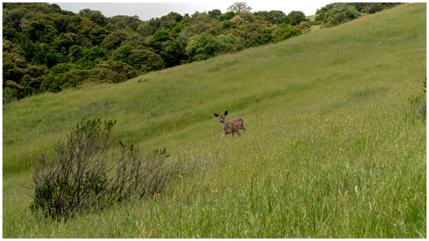
At 0.7 miles, turn left onto the Bella Vista Trail towards Black Mountain Backpack Camp. The trail climbs 425 feet in the next 0.8 miles, alternating between grasslands and ribbons of buckeye, maple, and valley oak flowing down the canyon’s slopes. Bouquets of Ithuriel’s spear, purple sanicle, and California fuchsia mingle with mule ears.

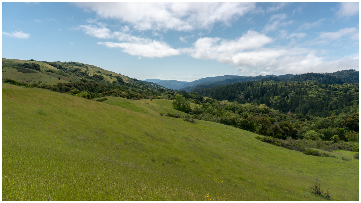
Merge onto Old Ranch Trail at 1.5 miles towards Backpack Camp. You can see the gravelly Monte Bello Road on the far left, which parallels the trail closely. Continue southeast for the next 0.6 miles, staying straight between Indian Creek Trail on the right and Monte Bello Road on the far left.

Arrive at Black Mountain Backpack Camp at 2.1 miles, the only campground in the Midpeninsula Regional Open Space District. Four campsites spread out in a clearing, with picnic logs and food storage lockers at each site. A group site is just east. The campground is on the former Black Mountain Ranch, owned by George F. Morell, a Stanford graduate and founder of the Palo Alto Times.

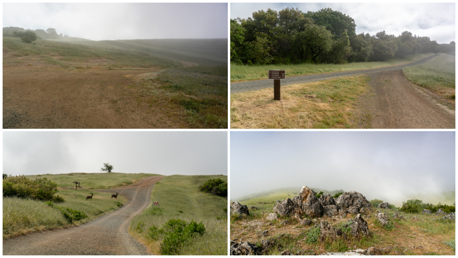
Just past the camp, bear right at an unsigned T-junction onto Indian Creek Trail. In 0.2 miles, merge onto Monte Bello Road towards the communication towers. Pass the towers and the Black Mountain Trail—a connector trail to Rancho San Antonio Open Space Preserve—reaching Black Mountain, 2,812 feet, at the 2.6-mile mark. There is no sign marking the summit, but the limestone outcrops on your right are a great spot for a snack break. Although it was a bit socked-in the day I hiked it, on a clear day you have views of the East Bay, Santa Clara Valley, and surrounding Santa Cruz Mountains.

Limestone outcrops make a great spot for a break at Black Mountain, elevation 2,812 feet.
Retrace your steps for 0.3 miles back to the Indian Creek Trail, heading southwest towards the Canyon Trail on the exposed dirt road. Bear right at an unsigned junction, descending sharply among coyote brush, chamise, and sagebrush. The stream you hear nearby is Indian Creek, a tributary of Stevens Creek.

Panoramic views span 180 degrees into the depths of the forested canyon, where we will be heading. In spring, woolly Indian paintbrush, silver bush lupine, Fremont’s death camas, and mariposa lilies paint the trailside. As you descend further, madrone, Douglas fir, and oak begin to envelope the trail.

Canyon views and wildflowers are highlights on the Indian Creek Trail.

Mariposa lilies bloom along the Black Mountain Loop in late spring.
At 4.1 miles, turn right onto the Canyon Trail. The wide dirt trail drifts into sun next to irises and baby blue eyes.

At 4.4 miles, turn left onto the Stevens Creek Nature Trail towards Monte Bello Parking. Descend further into the shady Douglas fir forest to Stevens Creek, with sword ferns, trillium, columbine, and thimbleberry. Stevens Creek is named for Elisha Stephens, captain of the Stephens-Murphy-Townsend party that pioneered a wagon route across the Sierra Nevada in 1844.

Pass the Skid Road Trail at 4.9 miles, a connector to Skyline Ridge Open Space Preserve. Ascend 425 feet over the next 1.1 miles back into open grasslands. Arrive back at the Frances Brenner bench, taking one last look at the Stevens Creek Canyon vista before returning to the parking lot. If you are hankering for more earthquake hiking, head across Page Mill Road to Los Trancos Open Space Preserve. There you will find San Andreas Fault Trail, a 1.5-mile self-guided interpretive trail built in 1977.

On a clear day, Mount Umunhum is visible to the southeast.
Notes:
- Monte Bello Open Space Preserve is open from a half hour before sunrise to a half hour after sunset.
- Parking is free.
- A free trail map is available online and at trailheads.
- Dogs are not allowed at this preserve.
- Mountain bikes and horses are allowed on designated trails.
- Restrooms are located next to the trailhead.
Tarantulas
In late summer and early fall, male tarantulas scurry from their burrows in search of females, often popping up on park roads and wide, exposed fire roads. Despite their horror movie reputation, tarantulas are gentle and are not poisonous or dangerous to humans. Keep an eye out for their quarter–sized burrow entrances, often lined with silk, as well as their hairy brown bodies, about 4-5 inches long with 8 legs. After mating season, the males perish; however, females can live up to 25 years. A good time to try to see them is early morning and evening before sunset. Check event calendars for tarantula programs and guided hikes, often occurring in September and October.
Tags: Backpacking, Black Mountain, Midpeninsula Regional Open Space District, san francisco, San Francisco Bay Area, Santa Cruz mountains, Stevens Creek, Stevens Creek Canyon, wildflowers